サンモーリスのおすすめウォーキング&ハイキングルート
4.6
(5954)
73,638
ハイカー
113
ハイキング
サンモーリスでのハイキングに出かけて、ヴァレーのこのエリアを探索してみませんか?このガイドでご紹介するのは、komootがサンモーリスでのハイキング・ウォーキングルートのコレクション全体を評価して選び抜いた、このエリアの人気ハイキングルートです。あなたに合った でのハイキングを見つけるには、他のユーザーがアップロードした役立つ情報や写真を閲覧し、各ルートに関するみんなの意見やコメントを参考にしましょう。
最終更新日: 9月 13, 2026
4.7
(55)
692
ハイカー
12.4km
05:35
860m
860m
難しいハイキング. 標準以上のフィットネスレベルが必要です。 全般的に進みやすいルートです。安定して歩行できる技術が必要です。
4.8
(27)
366
ハイカー
12.6km
04:41
650m
650m
Hike the moderate 7.9-mile Loop of Lac de Salanfe, gaining 2118 feet for stunning alpine views of the lake and surrounding peaks.

4.4
(33)
145
ハイカー
16.8km
04:37
290m
230m
中程度のハイキング. ある程度のフィットネスレベルが必要です。 進みやすいルートです。あらゆるスキルレベルに適しています。
4.6
(5)
191
ハイカー
21.0km
10:59
1,780m
1,780m
難しいハイキング. 標準以上のフィットネスレベルが必要です。 安定して歩行できる技術、丈夫な靴、高標高地での登山経験が必要です。
4.4
(8)
56
ハイカー
14.5km
06:00
970m
970m
難しいハイキング. 標準以上のフィットネスレベルが必要です。 全般的に進みやすいルートです。安定して歩行できる技術が必要です。
4.0
(2)
27
ハイカー
17.0km
08:09
1,340m
1,340m
This difficult 10.6-mile (17.0 km) high-alpine hike from Lac d'Emosson offers panoramic views and crosses the Cols of Barberine and Fenestra
4.3
(4)
24
ハイカー
24.9km
12:14
2,320m
2,320m
難しいハイキング. 標準以上のフィットネスレベルが必要です。 安定して歩行できる技術、丈夫な靴、高標高地での登山経験が必要です。
4.5
(2)
9
ハイカー
15.9km
07:55
1,300m
1,300m
難しいハイキング. 標準以上のフィットネスレベルが必要です。 安定して歩行できる技術、丈夫な靴、高標高地での登山経験が必要です。
5.0
(1)
5
ハイカー
19.3km
09:17
1,490m
1,490m
難しいハイキング. 標準以上のフィットネスレベルが必要です。 全般的に進みやすいルートです。安定して歩行できる技術が必要です。
4.7
(59)
703
ハイカー
9.72km
03:36
500m
480m
難しいハイキング. ある程度のフィットネスレベルが必要です。 安定して歩行できる技術、丈夫な靴、高標高地での登山経験が必要です。
さらに多くのルートや他のユーザーのおすすめ情報を確認できます。
すでにアカウントをお持ちですか?
おすすめのツアーは他のkomootユーザーが実際に経験した何千ものアクティビティに基づいています。
無料アカウントで今日から始めよう
次の冒険が待っています。
サンモーリス周辺で人気
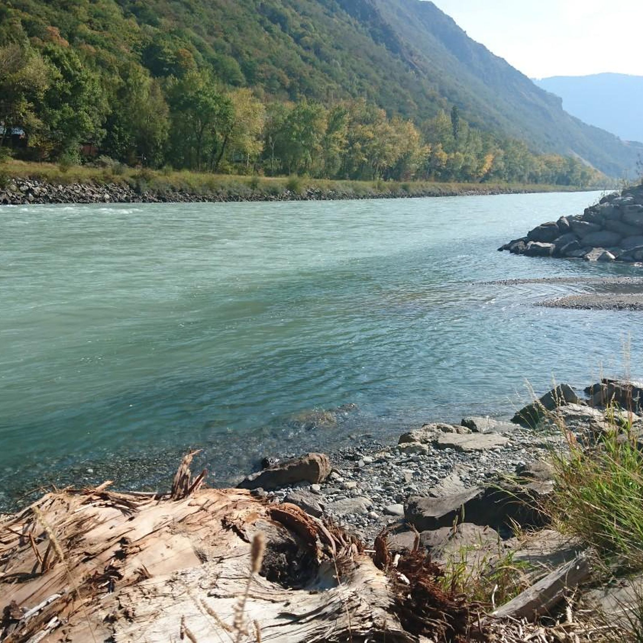
RéservescientifiquenaturelledesFollatèresでのハイキング

Alpine Passes Trail - サウファーシラールトリアルド 700km インスラールト

純粋な山の楽しみの34ステージ - スイスのアルプス山峠トレイルでハイキング
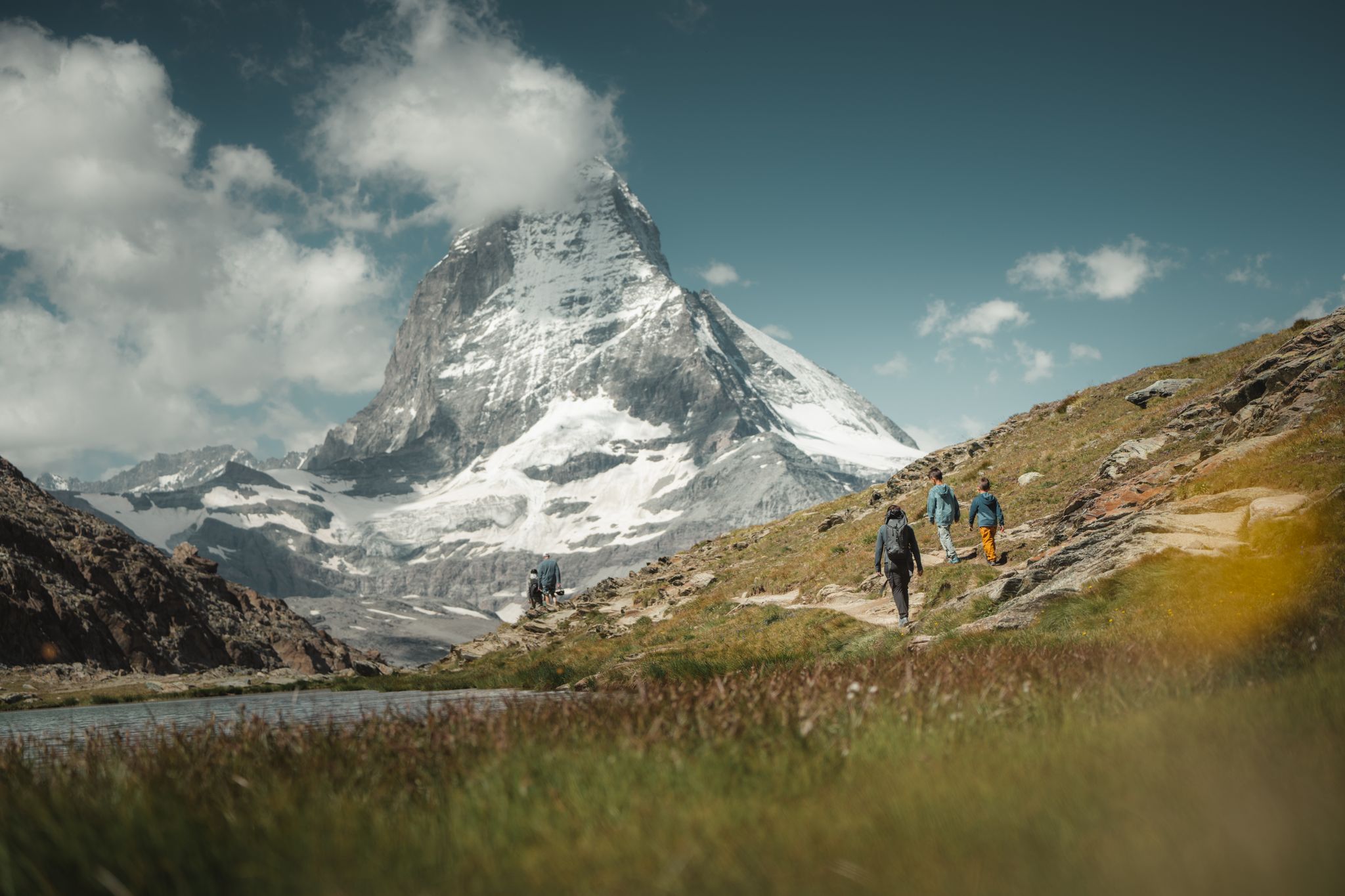
Grandiose glaciers and peaks – panoramic Tours in Switzerland’s Valais
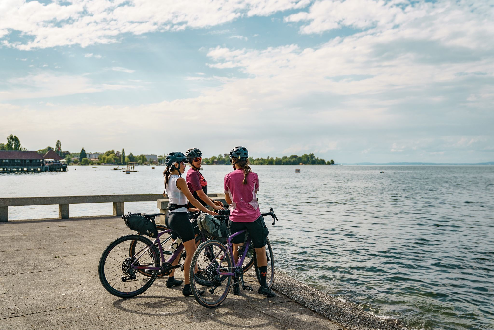
100% Women – beautiful rides by the water
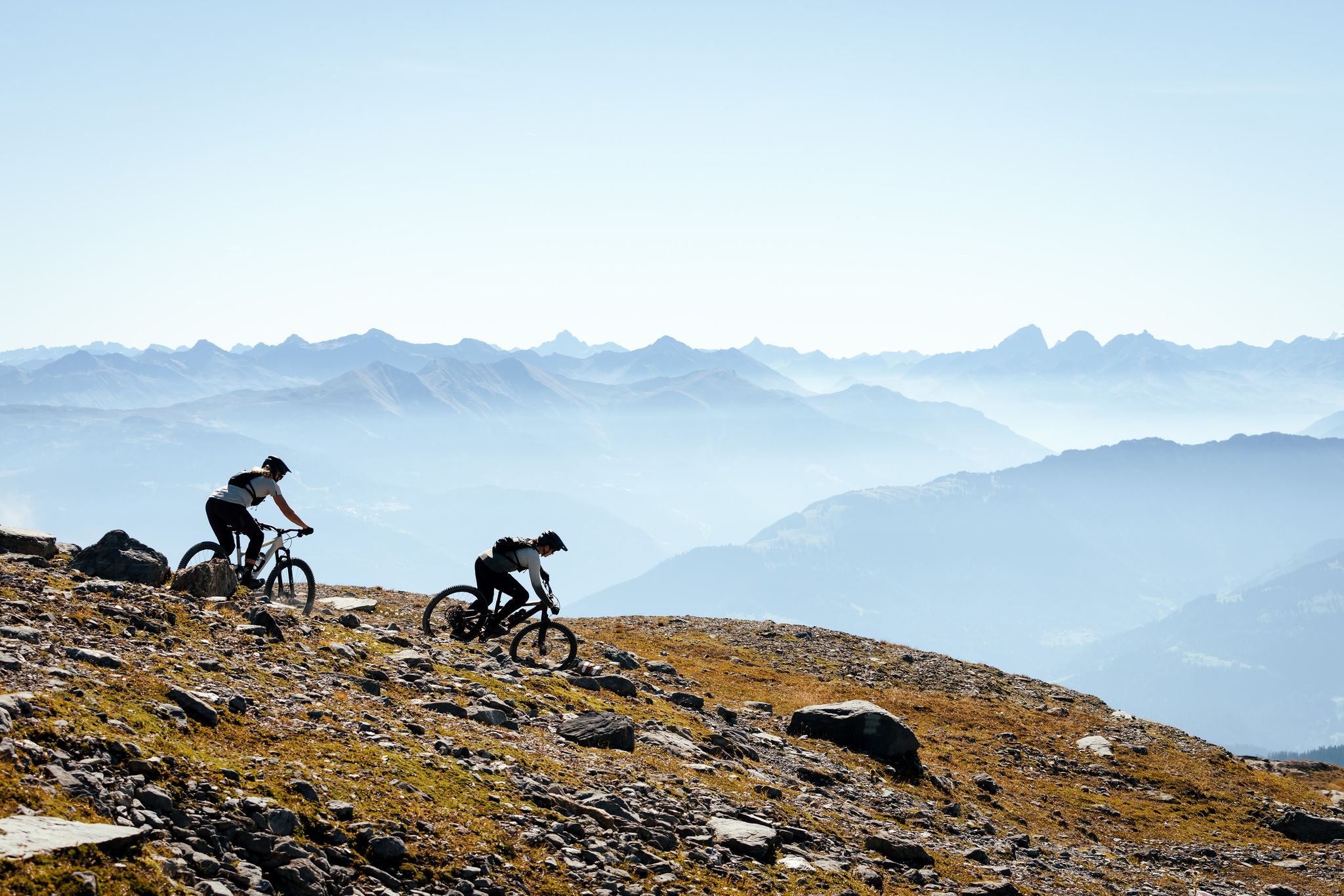
100% Women: the most beautiful MTB routes for every woman
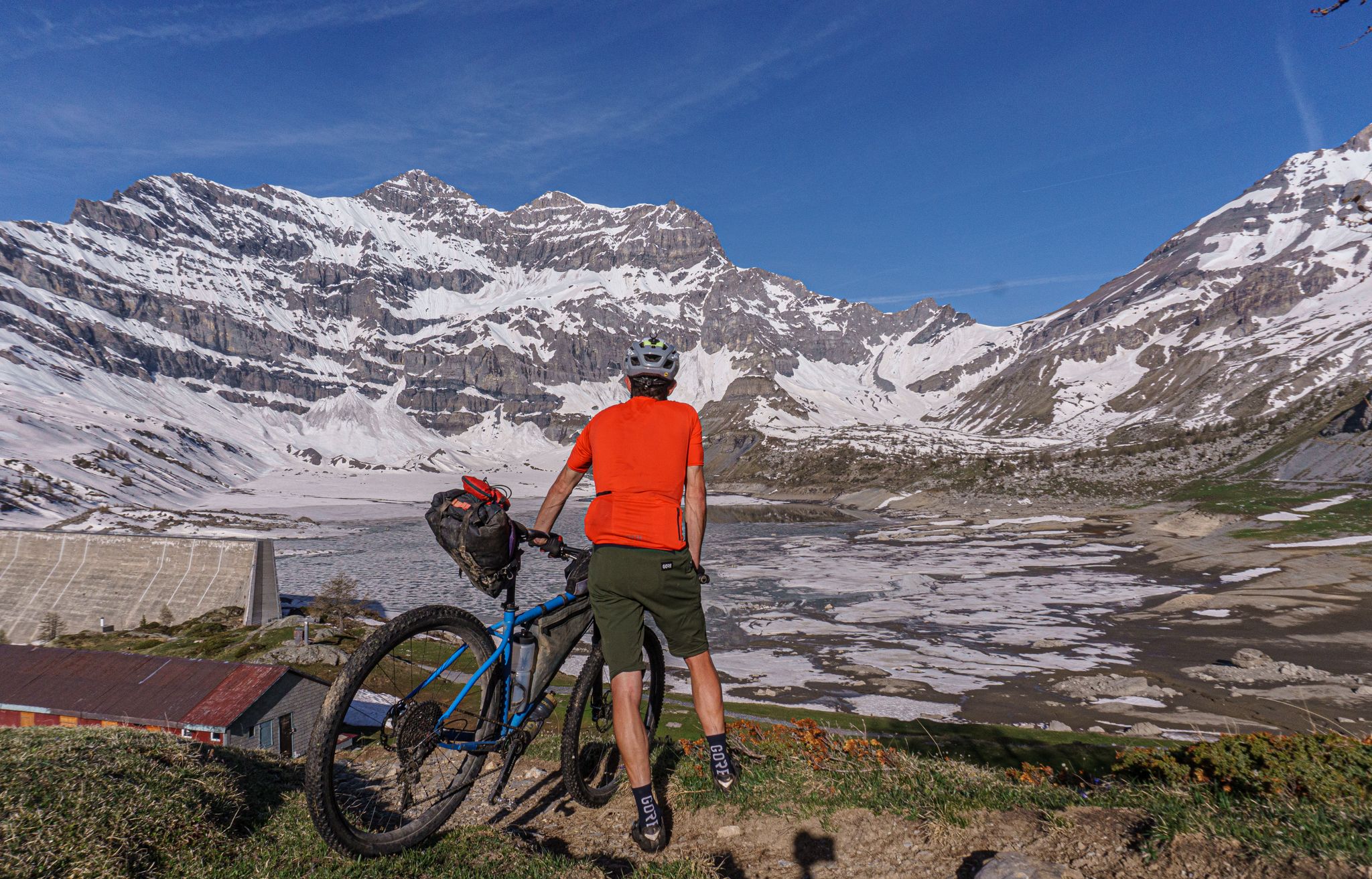
シャモニーからのバイクパッキングの1泊2日ツアー、Lac de Salanfe
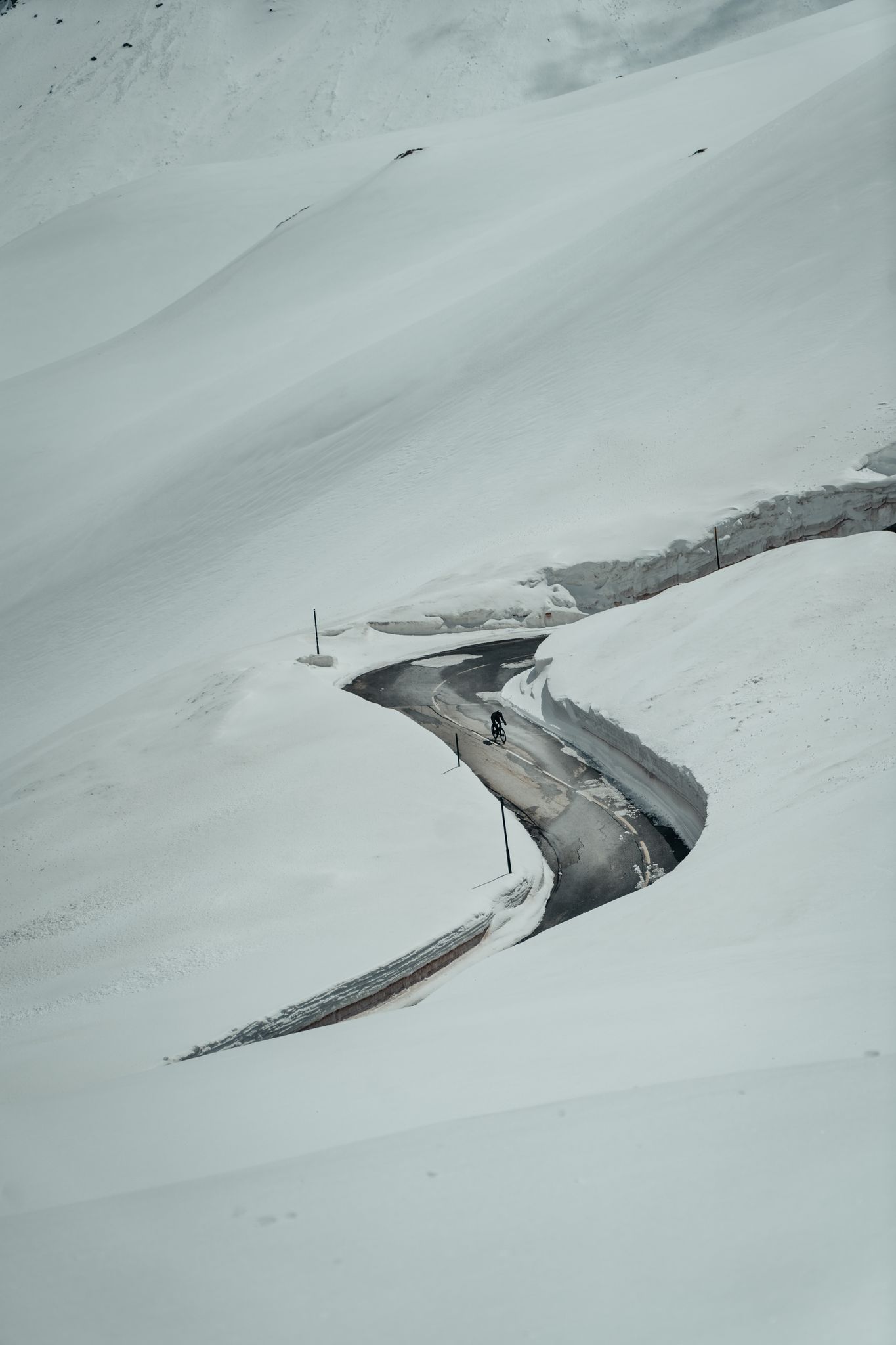
アルプスの初春のライディング - 雪の残りを探す
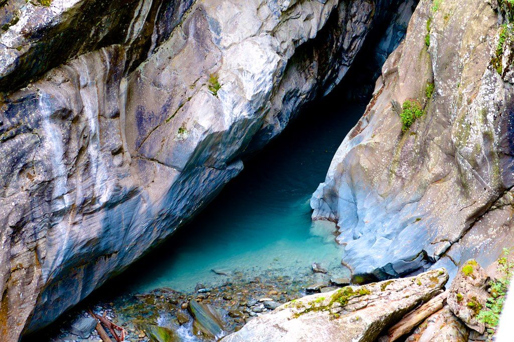
Die schönsten Schluchten der Schweiz
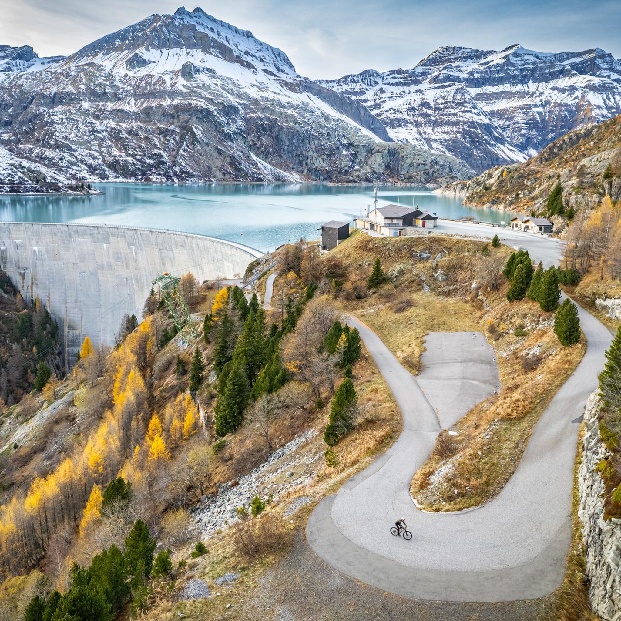
サンモーリスのMTBトレイル
サンモーリスでのの他の冒険


コミュニティからのヒント


If you're looking for a hidden alpine gem in the Swiss Alps, Lac de Salanfe is a must-visit. Nestled at 1,925 meters above sea level in the canton of Valais, this stunning reservoir offers a peaceful escape surrounded by towering peaks and pristine nature.
0
0

climb from Salvan station and return to Evionnaz station. Great route
0
0

Accessible by snowshoe in winter, not very busy, a brisk climb in the powder and an incredible view at the summit as a reward for our efforts... a must!
0
0

komootモバイルアプリでインスピレーションを得よう


探していたものは見つかりませんでしたか?
サンモーリスの下にある他のハイキングをチェックして、目的地で完璧なルートを見つけましょう。
さらに探索
他の地域の最高のハイキングを見てみましょう。
