サンコロンバーノベルモンテのおすすめランニングルート
4.6
(85)
3,046
ランナー
225
ランニング
サンコロンバーノベルモンテでランニングを楽しめば、このエリアをより深く知ることができます。ランニングに適した美しいルートが見つかるように、komootがサンコロンバーノベルモンテでのルートのコレクション全体を評価して選び抜いた、人気ランニングトレイルをご紹介します。ルートをクリックして詳細を表示し、他のユーザーがアップロードした役立つ情報や写真を閲覧しましょう。
最終更新日: 8月 29, 2026
5.0
(3)
37
ランナー
12.5km
02:24
800m
800m
難しいジョギング. 標準以上のフィットネスレベルが必要です。 安定して歩行できる技術、丈夫な靴、高標高地での登山経験が必要です。
24
ランナー
7.14km
00:45
60m
60m
中程度のジョギング. ある程度のフィットネスレベルが必要です。 全般的に舗装された状態です。あらゆるスキルレベルに適しています。

無料新規登録
31
ランナー
9.92km
01:02
90m
90m
中程度のジョギング. ある程度のフィットネスレベルが必要です。 全般的に舗装された状態です。あらゆるスキルレベルに適しています。
19
ランナー
14.2km
01:30
140m
140m
中程度のジョギング. ある程度のフィットネスレベルが必要です。 全般的に舗装された状態です。あらゆるスキルレベルに適しています。
19
ランナー
10.4km
01:06
100m
100m
中程度のジョギング. ある程度のフィットネスレベルが必要です。 全般的に進みやすいルートです。一部で、安定して歩行できる技術が必要です。
さらに多くのルートや他のユーザーのおすすめ情報を確認できます。
無料新規登録
すでにアカウントをお持ちですか?
おすすめのツアーは他のkomootユーザーが実際に経験した何千ものアクティビティに基づいています。
無料アカウントで今日から始めよう
次の冒険が待っています。
ログインまたは登録

コミュニティからのヒント

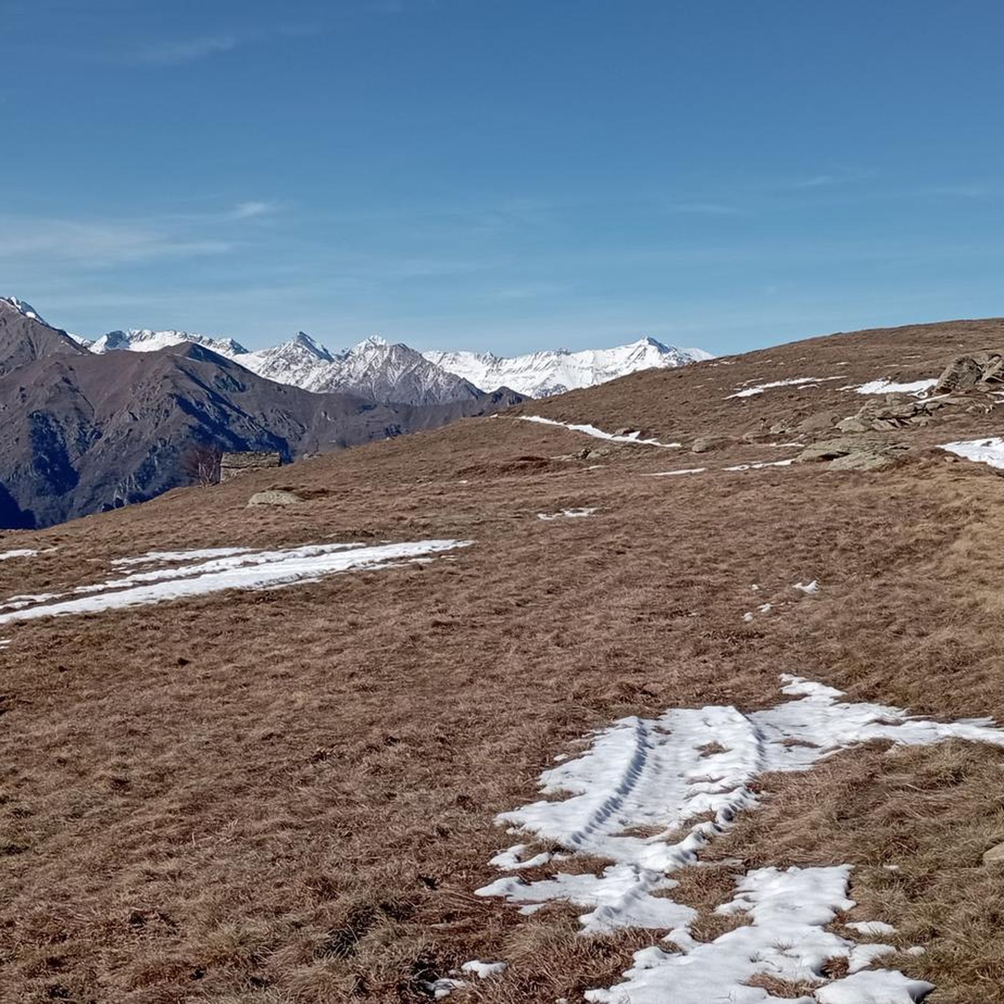
Corio側とAlpette側から何度も到達しました。Corio側の頂上の下、Alpe Rossoloの近くには常に馬がいます。
0
0

すべてが見え、さまざまな場所からアクセスできる可能性があります
0
0

Leaving aside the chaos of the center, it is a pleasant city, rich in history and ideas for trekking and/or cycling.
0
0

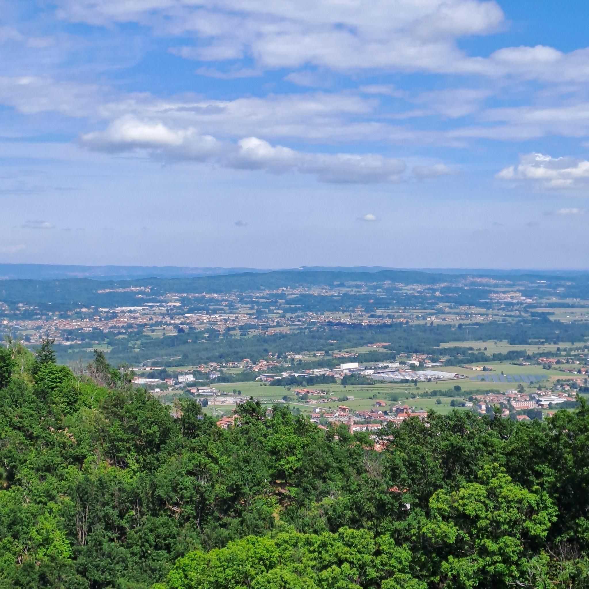
Very beautiful panorama at the top, satisfying view, but the climb to get there.... very tough, average gradient above 10%, peaks above 15%, on a path rather damaged by the rains of recent months. Grooves, exposed rocks and sand... having my foot on the ground in many sections was inevitable for me, and starting up on those slopes isn't always easy. I climbed with a gravel bike but it's not a problem with the vehicle, tires or gears... if you like hiking with a bike or cycle mountaineering then it's ok. Otherwise 2 hours on foot and you'll get there anyway
0
0

Currently closed, I don't know when it reopens or if it reopens
2
0

The little church has an incredible position, it looks towards the valley (towards Turin), is well exposed and offers a nice place to enjoy the sun and rest. But what is even more wonderful is the view behind the church: the great Paradise in all its splendor. It's worth the effort! Highly recommended excursion
2
0

Decorating this peak is not the usual cross, but rather a statuette of the Madonna, with numerous rosaries around her neck, and a compass rose. From its altitude of almost 2,000 metres, the 360-degree panorama is extraordinary. You can reach the top from two sides, one starting from the municipality of Corio and the other from the municipality of Alpette (the latter option has a smaller difference in altitude).
1
0

The castle dates back to the 10th century; it is characterized by towers that surround various buildings added gradually over time. The name Valperga could derive from the Celtic vald (forest) and the Burgundian berg (mountain). With Valperga castle you can immerse yourself in history: at the end of the 11th century, the Silvesco and Droengo families built the fortified nucleus. In the 12th century, the manor passed to the De Canavese Counts, giving rise to the Counts of Valperga and San Martino. Wars, French occupations, other transformations in the 17th century... a compelling tale of nobility and change. Today the castle is a FAI site.
2
0
サンコロンバーノベルモンテでのの人気観光スポット

komootモバイルアプリでインスピレーションを得よう


さらに探索
他の地域の最高のランニングトレイル & ルートを見てみましょう。
