チェーザラのおすすめウォーキング&ハイキングルート
4.4
(3754)
14,787
ハイカー
14
ハイキング
チェーザラ周辺でのハイキングは、景色を満喫するのに最適な手段のひとつですが、適切なハイキングルートを見つけることは簡単ではありません。 チェーザラ周辺の人気ハイキング&ウォーキングコースを参考にすれば、行きたいルートをすぐに見つけられます。
最終更新日: 8月 30, 2026
4.5
(2)
8
ハイカー
8.53km
03:06
550m
550m
Hike the T30: Cesara - Monte Novesso Trail, a moderate 5.3-mile route with 1803 feet of gain and panoramic views from the summit.
4.6
(42)
117
ハイカー
9.50km
03:03
320m
320m
中程度のハイキング. ある程度のフィットネスレベルが必要です。 全般的に進みやすいルートです。安定して歩行できる技術が必要です。

無料新規登録
5.0
(7)
39
ハイカー
9.81km
03:10
430m
430m
中程度のハイキング. ある程度のフィットネスレベルが必要です。 進みやすいルートです。あらゆるスキルレベルに適しています。
4.5
(4)
15
ハイカー
7.26km
02:14
260m
260m
中程度のハイキング. ある程度のフィットネスレベルが必要です。 進みやすいルートです。あらゆるスキルレベルに適しています。
3.3
(7)
21
ハイカー
3.76km
01:42
270m
270m
中程度のハイキング. あらゆるフィットネスレベルに適しています。 全般的に進みやすいルートです。安定して歩行できる技術が必要です。
さらに多くのルートや他のユーザーのおすすめ情報を確認できます。
無料新規登録
すでにアカウントをお持ちですか?
おすすめのツアーは他のkomootユーザーが実際に経験した何千ものアクティビティに基づいています。
無料アカウントで今日から始めよう
次の冒険が待っています。
ログインまたは登録

コミュニティからのヒント


Beautiful, tiny and very cute village! The descent/climb from the upper road to the lake shore (ferry landing stage) is quite tough. Must see!
0
0

The sella dei due Faggi is an excellent junction point between various paths. In recent weeks, the T30 path in the direction of Cesara has been cleaned in particular.
0
0
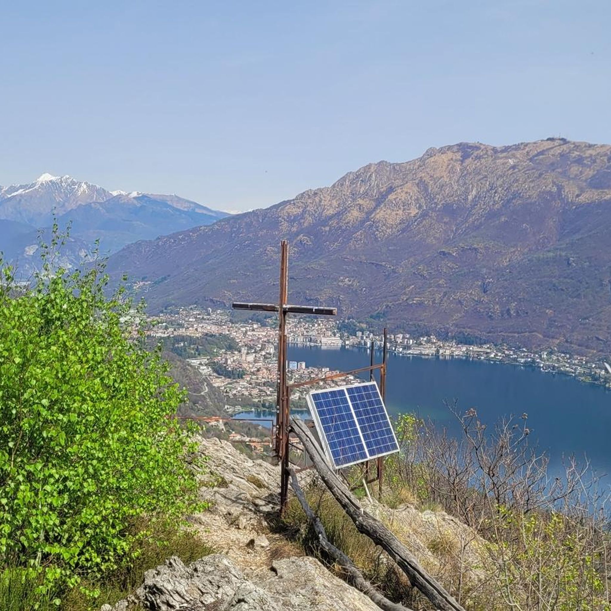
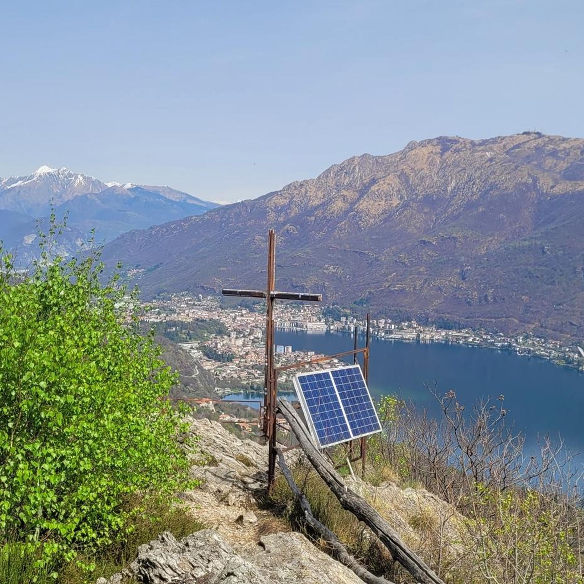
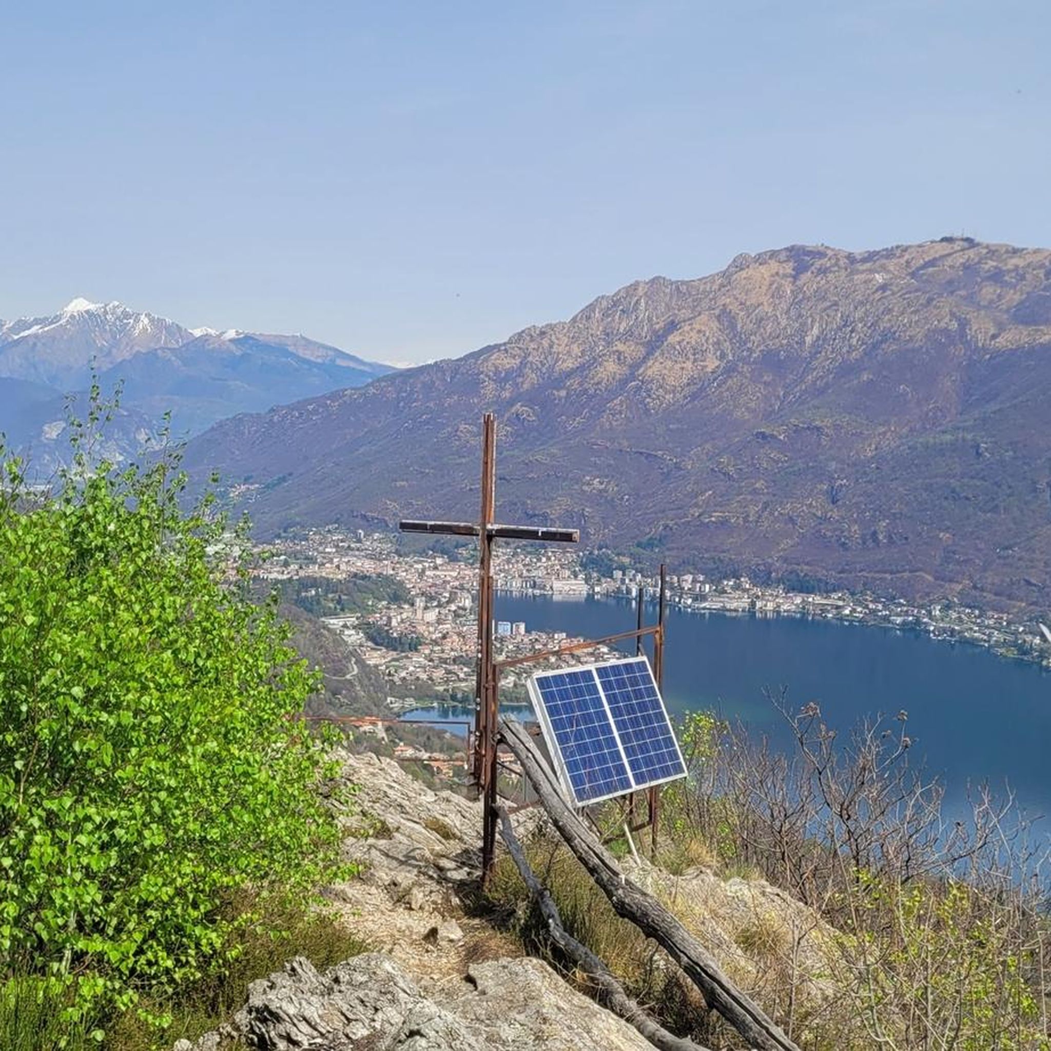
A few meters from the Croce di Nonio, a little more "hidden", there is also the Croce di Cesara. The Croce di Cesara allows us to focus our view on the southern part of Lake Orta
1
0
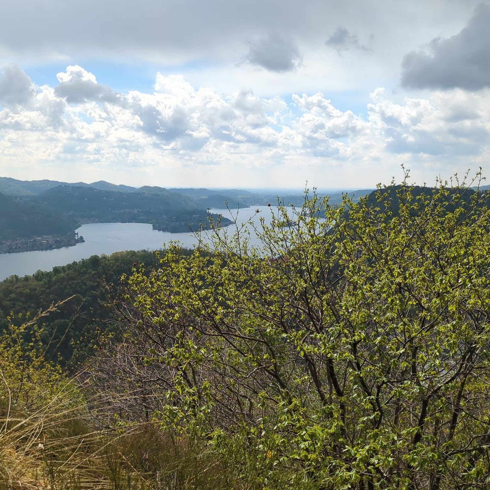
Panoramic location located about halfway along the western shore of Lake Orta
0
1

Connecting path between Nonio and Cesara
0
0
Municipality in the province of VB at an altitude of 490m above sea level
0
0
Pass in the municipality of Cesara at an altitude of 1080m above sea level
0
0

komootモバイルアプリでインスピレーションを得よう


さらに探索
他の地域の最高のハイキングを見てみましょう。
