ゼーハウゼン・アム・スタッフェルゼーのおすすめウォーキング&ハイキングルート
4.5
(67)
439
ハイカー
19
ハイキング
ゼーハウゼン・アム・スタッフェルゼー周辺でのハイキングは、景色を満喫するのに最適な手段のひとつですが、適切なハイキングルートを見つけることは簡単ではありません。 ゼーハウゼン・アム・スタッフェルゼー周辺の人気ハイキング&ウォーキングコースを参考にすれば、行きたいルートをすぐに見つけられます。
最終更新日: 10月 11, 2026
4.3
(15)
121
ハイカー
7.12km
01:51
40m
40m
初級者向けハイキング. あらゆるフィットネスレベルに適しています。 進みやすいルートです。あらゆるスキルレベルに適しています。
4.0
(4)
33
ハイカー
10.6km
02:47
80m
80m
中程度のハイキング. ある程度のフィットネスレベルが必要です。 進みやすいルートです。あらゆるスキルレベルに適しています。

4.8
(5)
18
ハイカー
14.6km
03:45
70m
70m
中程度のハイキング. ある程度のフィットネスレベルが必要です。 進みやすいルートです。あらゆるスキルレベルに適しています。
4.1
(8)
38
ハイカー
初級者向けハイキング. あらゆるフィットネスレベルに適しています。 進みやすいルートです。あらゆるスキルレベルに適しています。
4.2
(5)
31
ハイカー
6.69km
01:49
100m
100m
初級者向けハイキング. あらゆるフィットネスレベルに適しています。 進みやすいルートです。あらゆるスキルレベルに適しています。
さらに多くのルートや他のユーザーのおすすめ情報を確認できます。
すでにアカウントをお持ちですか?
おすすめのツアーは他のkomootユーザーが実際に経験した何千ものアクティビティに基づいています。
無料アカウントで今日から始めよう
次の冒険が待っています。
コミュニティからのヒント

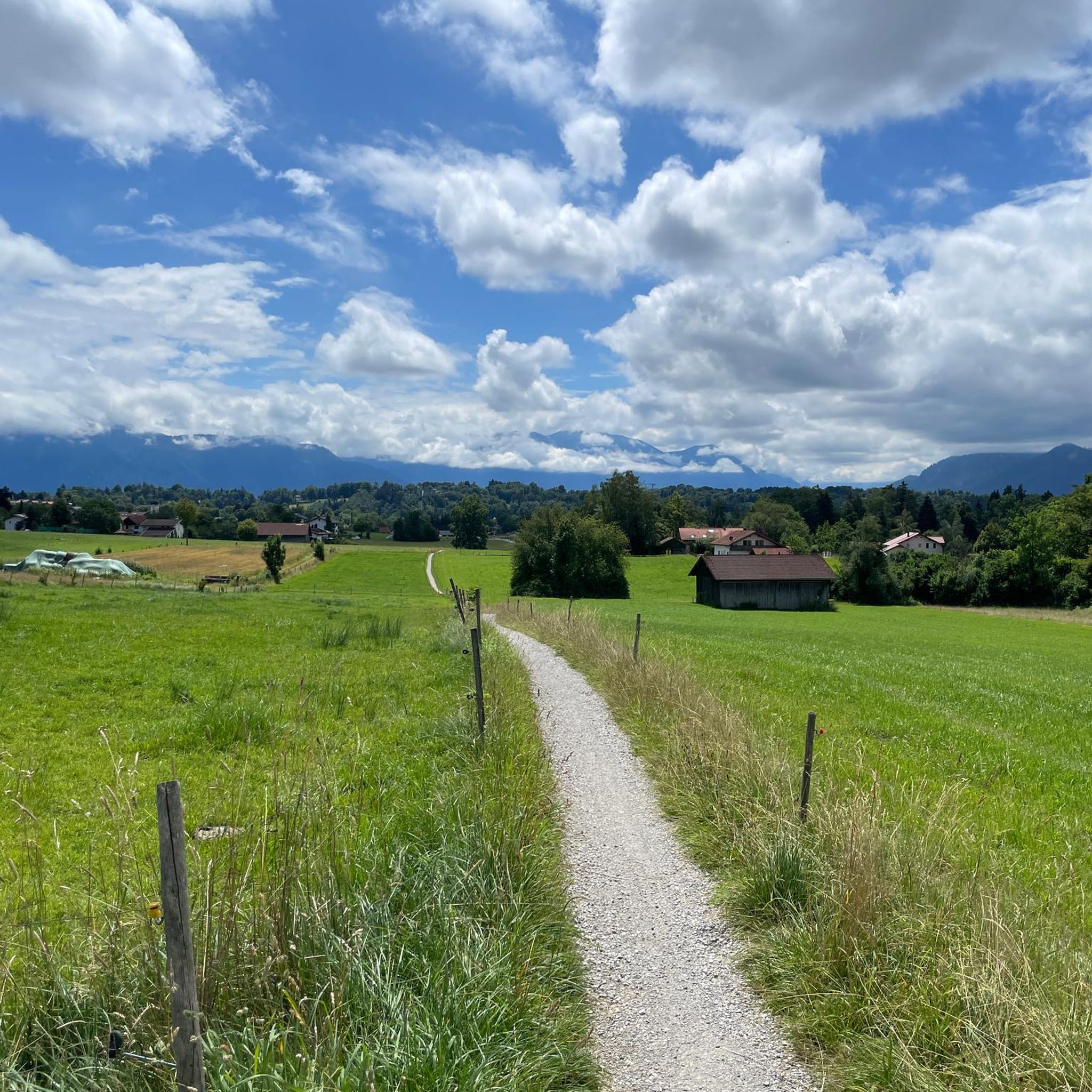
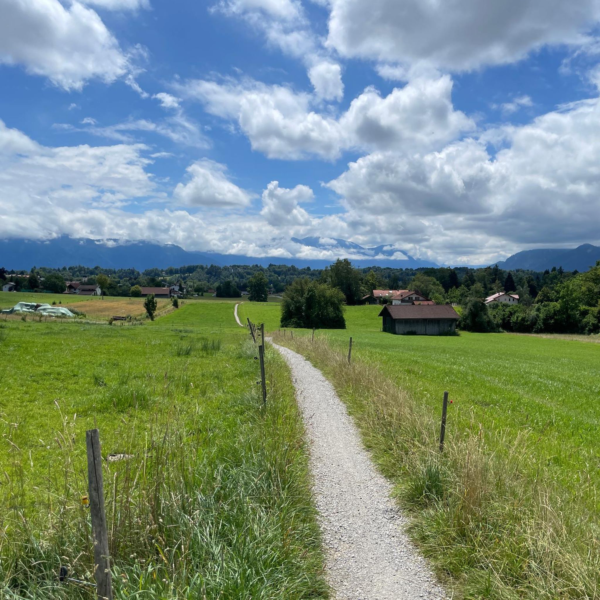
Ramsach教会への短い寄り道の後、尾根に出ます。そこからは、Moosとオーバーバイエルンアルプスの連なりを遮るもののない眺めを楽しむことができます。すべての頂上を識別できるパノラママップもあります。
0
0


カ ンダ ィンスキーは、彼の様式的な発展を模範的に示している30以上のバージョンで、自宅からムルナウを見た景色を描きました。具象的なものから抽象化へと徐々に変容させていくことで、カ ンダ ィンスキーは「内なる体験」の純粋な表現に到達します。(ムルナウ観光案内所)
0
0

Lake Staffelsee is known as one of the warmest lakes in the region and features seven islands that you can see from the shore during the hike. The route is usually marked as approximately 20.8 km. You should allow an average walking time of 5 to 6 hours, depending on your pace and breaks. The route can also be completed by bike, with the total distance, including access routes from Murnau, often coming to around 38 km. The route is relatively flat with limited elevation gain (approximately 160 to 400 meters, depending on the exact paths) and passes through the towns of Murnau, Seehausen, and Uffing.
0
0


The lake circuit is very varied and offers numerous opportunities for a stop to enjoy the nature and the view
0
0

It's simply beautiful at Staffelsee
1
0

A wonderful beer garden right on the lake!
0
0
ゼーハウゼン・アム・スタッフェルゼーでのの人気観光スポット

komootモバイルアプリでインスピレーションを得よう


さらに探索
他の地域の最高のハイキングを見てみましょう。
