シュヴァンデンバイブリエンツのおすすめウォーキング&ハイキングルート
4.6
(3336)
21,522
ハイカー
411
ハイキング
シュヴァンデンバイブリエンツ周辺でのハイキングは、景色を満喫するのに最適な手段のひとつですが、適切なハイキングルートを見つけることは簡単ではありません。 シュヴァンデンバイブリエンツ周辺の人気ハイキング&ウォーキングコースを参考にすれば、行きたいルートをすぐに見つけられます。
最終更新日: 10月 1, 2026
4.5
(101)
635
ハイカー
6.83km
02:30
20m
1,030m
中程度のハイキング. ある程度のフィットネスレベルが必要です。 全般的に進みやすいルートです。安定して歩行できる技術が必要です。
4.6
(10)
108
ハイカー
4.64km
01:37
360m
360m
中程度のハイキング. ある程度のフィットネスレベルが必要です。 全般的に進みやすいルートです。安定して歩行できる技術が必要です。

4.2
(41)
243
ハイカー
11.0km
03:14
290m
290m
中程度のハイキング. ある程度のフィットネスレベルが必要です。 全般的に進みやすいルートです。安定して歩行できる技術が必要です。
4.8
(9)
57
ハイカー
9.69km
04:17
570m
570m
中程度のハイキング. ある程度のフィットネスレベルが必要です。 全般的に進みやすいルートです。安定して歩行できる技術が必要です。
4.3
(28)
225
ハイカー
18.8km
09:02
1,670m
1,670m
難しいハイキング. 標準以上のフィットネスレベルが必要です。 全般的に進みやすいルートです。安定して歩行できる技術が必要です。
さらに多くのルートや他のユーザーのおすすめ情報を確認できます。
すでにアカウントをお持ちですか?
おすすめのツアーは他のkomootユーザーが実際に経験した何千ものアクティビティに基づいています。
無料アカウントで今日から始めよう
次の冒険が待っています。
コミュニティからのヒント

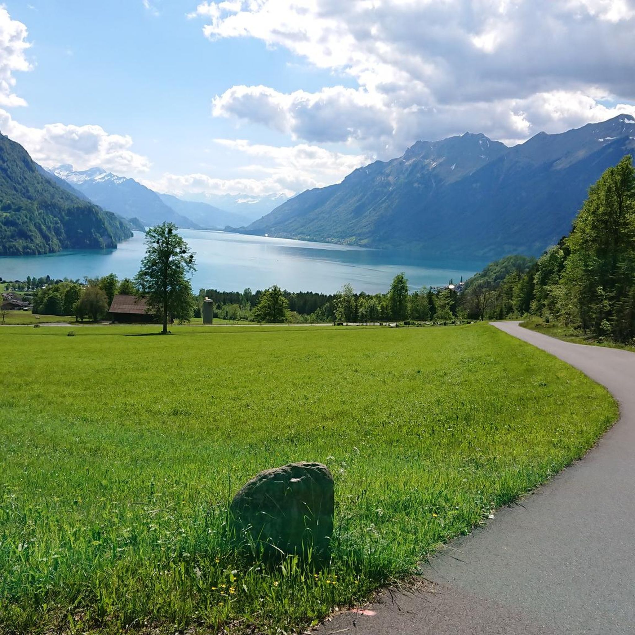
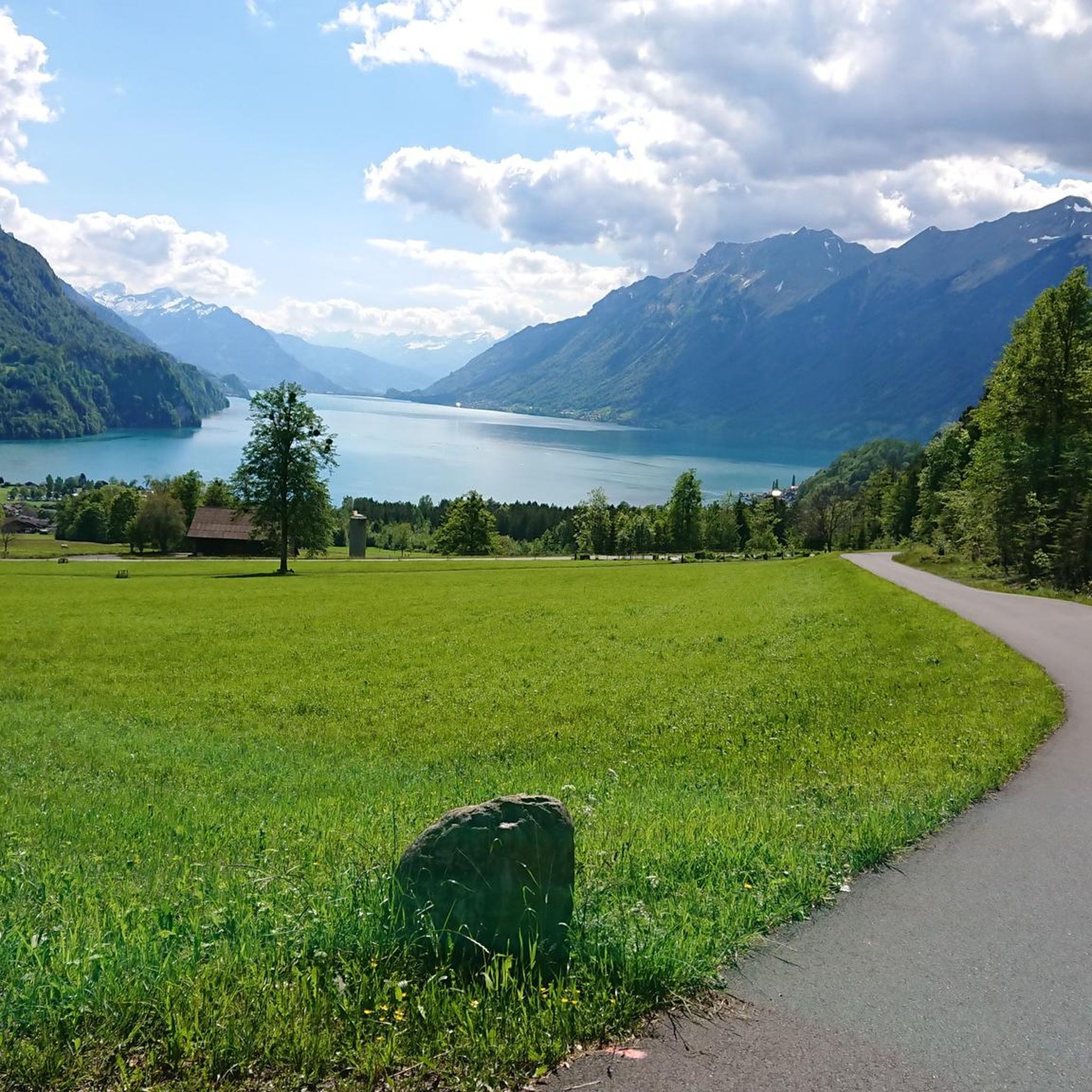
ブリエンツ湖の眺め
0
0

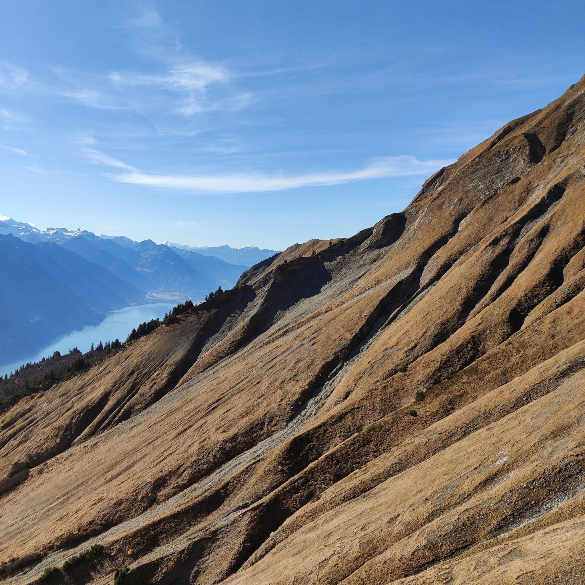
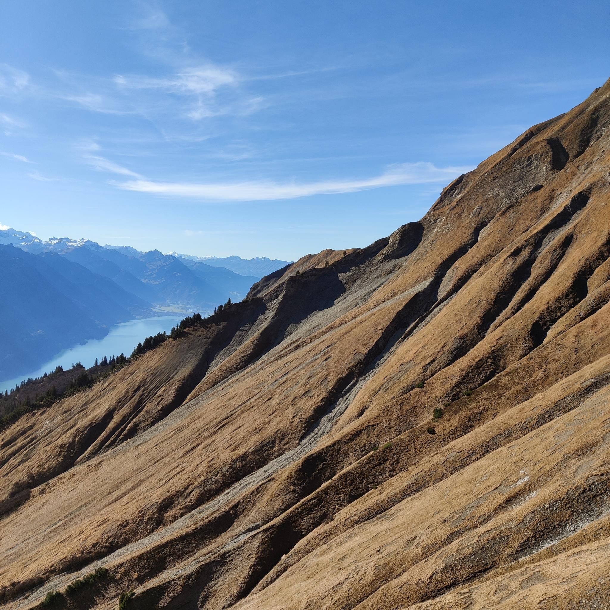
ブリエンツ・ロートホルンは標高2,350メートルです。頂上からはブリエンツ湖、ベルナー・アルペン、そして数々の印象的な山頂の素晴らしい眺めが楽しめます。特に歴史的なブリエンツ・ロートホルン鉄道での旅は感動的です。ハイキングコースは眺めの良い尾根やアルプスの風景を通り抜けています。山岳愛好家や自然愛好家にとって、訪れる価値のある場所です。
4
0

シェンビューエルは、この地域でのあらゆるツアーにとって、絶対にハイライトとなる保証です!🏔️✨ 登頂をマスターした人は、眼下に広がる深い青色のブリエンツ湖と周囲の山々の息をのむようなパノラマビューで報われます💙🌊 プロのヒント:カメラのバッテリーをしっかり充電し、晴れた日か午後の遅い時間帯に頂上にいるのが一番です。湖の色と景色は、まさにポストカードのような魔法で、完璧な写真撮影スポットです!📸🌅
0
0


Lake Brienz Lake Brienz is located in the Bernese Oberland between the communities of Interlaken in the west and Brienz in the east. The lake area is located in the communities of Ringgenberg, Niederried, Oberried and Brienz on the northern shore of the lake and Interlaken, Bönigen and Iseltwald on the southern shore. The large Bernese Oberland lake is fed by many mountain streams, mainly by the Aare in the east and the Lütschine in the west. At Interlaken, the Aare flows out of the turquoise-blue Lake Brienz and flows back into Lake Thun a little later in the Weissenau area. At normal water levels, the lake is at an altitude of 564 meters above sea level. With an area of almost 30 square kilometers, Lake Brienz is the eleventh largest lake in Switzerland and the third largest in the canton of Bern after Lake Thun and Lake Biel. It stretches 14km in an east-west direction and is almost three kilometers wide. There is only one island in Lake Brienz. The snail island - dialect: Schnäggeninseli - is located around 250m from the shore near Iseltwald. The circumference of Lake Brienz is almost 35km. The annual Lake Brienz Run circles the lake along the shore. Text / Source: Schweizersee.ch https://www.schweizersee.ch/brienzersee/
12
0
Swimming in Lake Brienz The clear but often cold Lake Brienz offers only a few wild bathing spots due to the steep slopes, but is considered the cleanest lake in Switzerland. There are four lidos spread around the lake. These are the Niederried outdoor pool, the Bönigen lido, the Iseltwald lido and the Brienz lido. An overview of the four lidos can be found here: «Lake Brienz lidos». If you need warmer temperatures for your bathing fun, the nearby Burgseeli in Ringgenberg is recommended. Text / Source: Schweizersee.ch https://www.schweizersee.ch/brienzersee/
12
0

Fantastically beautiful place, the hotel offers very beautiful views of the lake and waterfalls
1
0

The track is currently coloured in accordance with its original period, i.e. green/beige. The red paintwork visible in many photos corresponds to the more recent past.
0
0
シュヴァンデンバイブリエンツでのの人気観光スポット

komootモバイルアプリでインスピレーションを得よう


さらに探索
他の地域の最高のハイキングを見てみましょう。
