フチェッキオのおすすめウォーキング&ハイキングルート
4.4
(606)
2,151
ハイカー
47
ハイキング
フチェッキオ周辺でのハイキングは、景色を満喫するのに最適な手段のひとつですが、適切なハイキングルートを見つけることは簡単ではありません。 フチェッキオ周辺の人気ハイキング&ウォーキングコースを参考にすれば、行きたいルートをすぐに見つけられます。
最終更新日: 10月 3, 2026
4.7
(18)
101
ハイカー
27.8km
07:14
190m
190m
難しいハイキング. 標準以上のフィットネスレベルが必要です。 進みやすいルートです。あらゆるスキルレベルに適しています。
4.0
(1)
12
ハイカー
11.5km
03:00
80m
90m
中程度のハイキング. ある程度のフィットネスレベルが必要です。 進みやすいルートです。あらゆるスキルレベルに適しています。

6
ハイカー
10.3km
02:43
90m
90m
中程度のハイキング. ある程度のフィットネスレベルが必要です。 進みやすいルートです。あらゆるスキルレベルに適しています。
4.6
(7)
25
ハイカー
14.6km
03:53
150m
150m
中程度のハイキング. ある程度のフィットネスレベルが必要です。 進みやすいルートです。あらゆるスキルレベルに適しています。
5.0
(2)
11
ハイカー
25.4km
06:44
250m
250m
難しいハイキング. 標準以上のフィットネスレベルが必要です。 進みやすいルートです。あらゆるスキルレベルに適しています。
さらに多くのルートや他のユーザーのおすすめ情報を確認できます。
すでにアカウントをお持ちですか?
おすすめのツアーは他のkomootユーザーが実際に経験した何千ものアクティビティに基づいています。
無料アカウントで今日から始めよう
次の冒険が待っています。
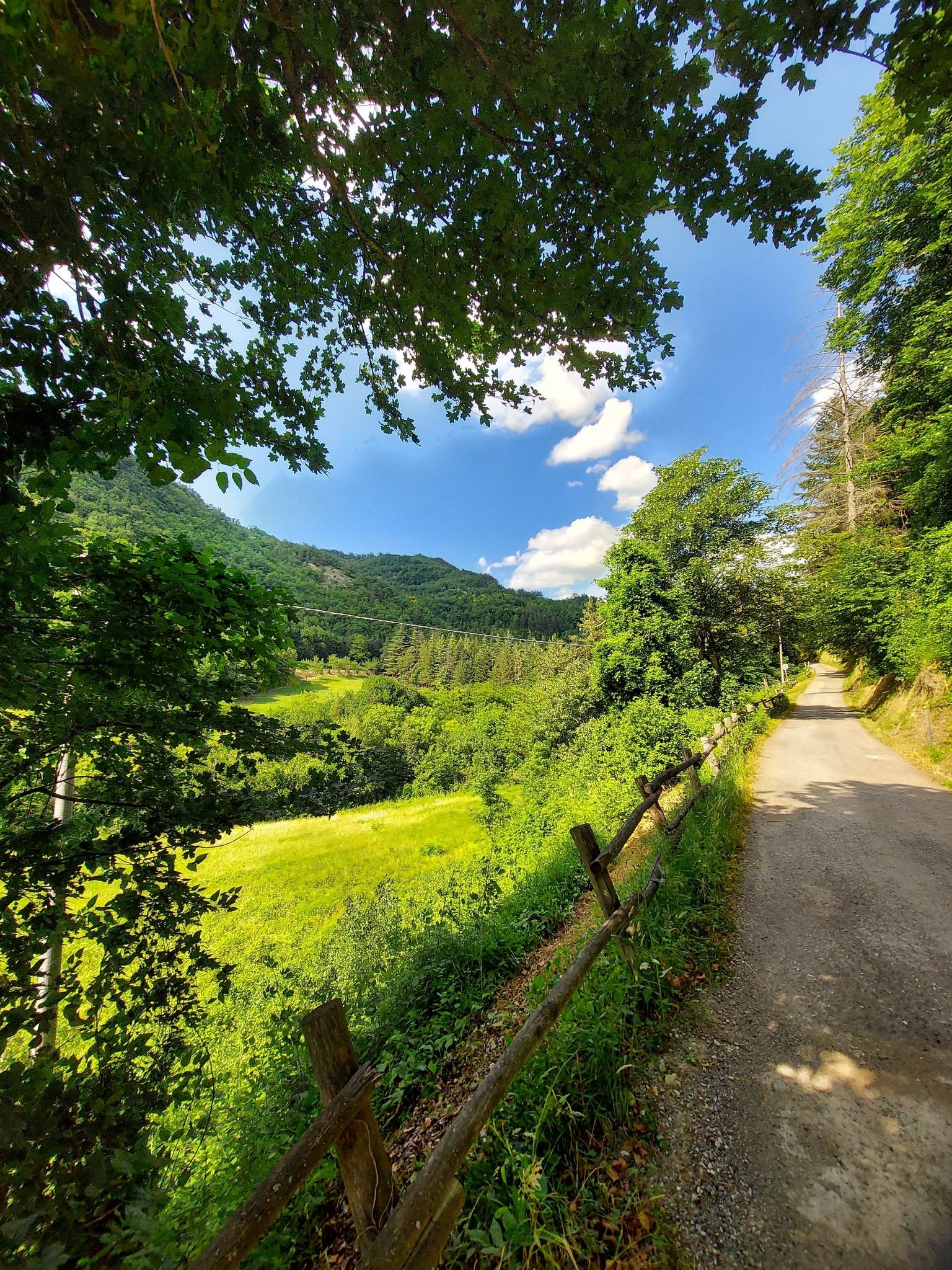
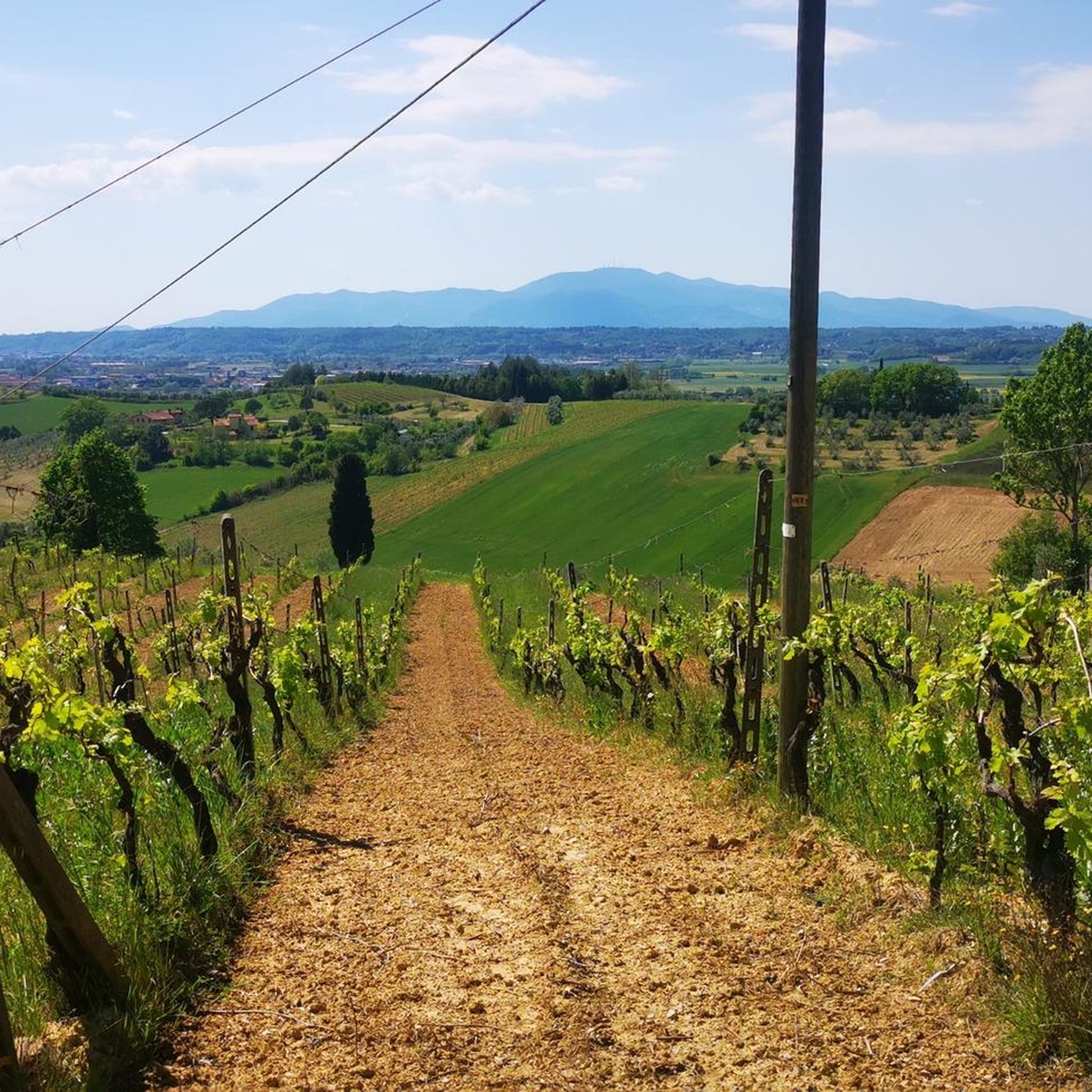
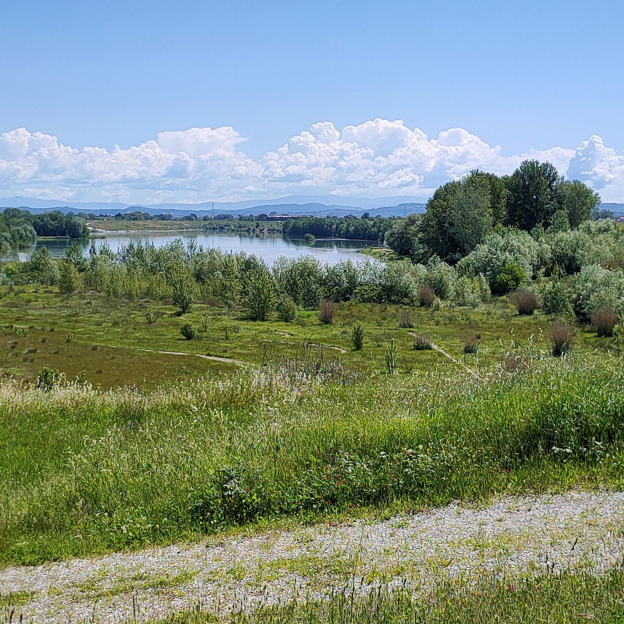

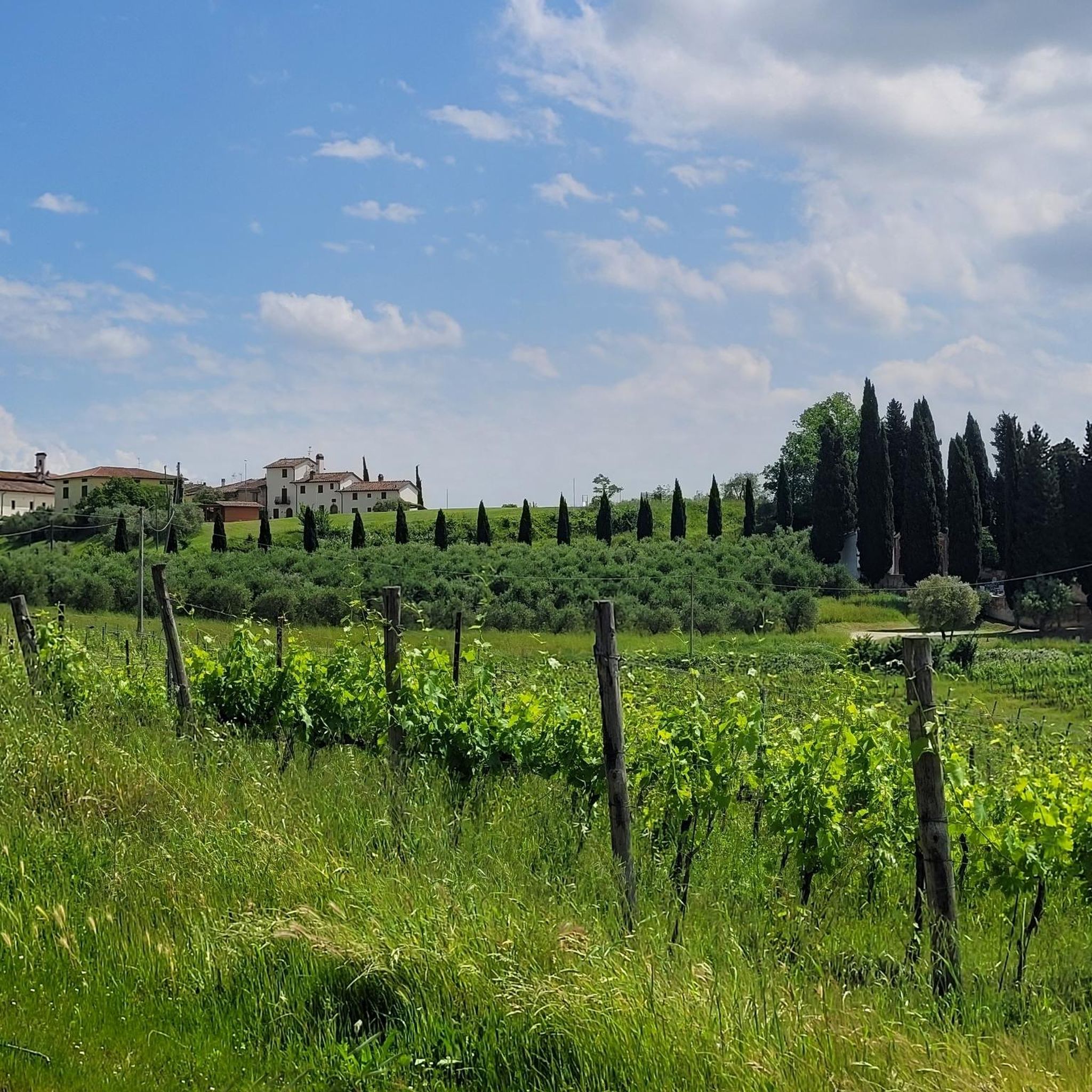

コミュニティからのヒント

注意! 塔とそれに付随する公園は、平日は午前中のみ開いています!
0
0

フチェッキオの高く歴史的な部分、フランシジェナの通過点であり、病院の向かいにあるコスタリバーでクレデンツィアーレにスタンプを押すことができます
0
0
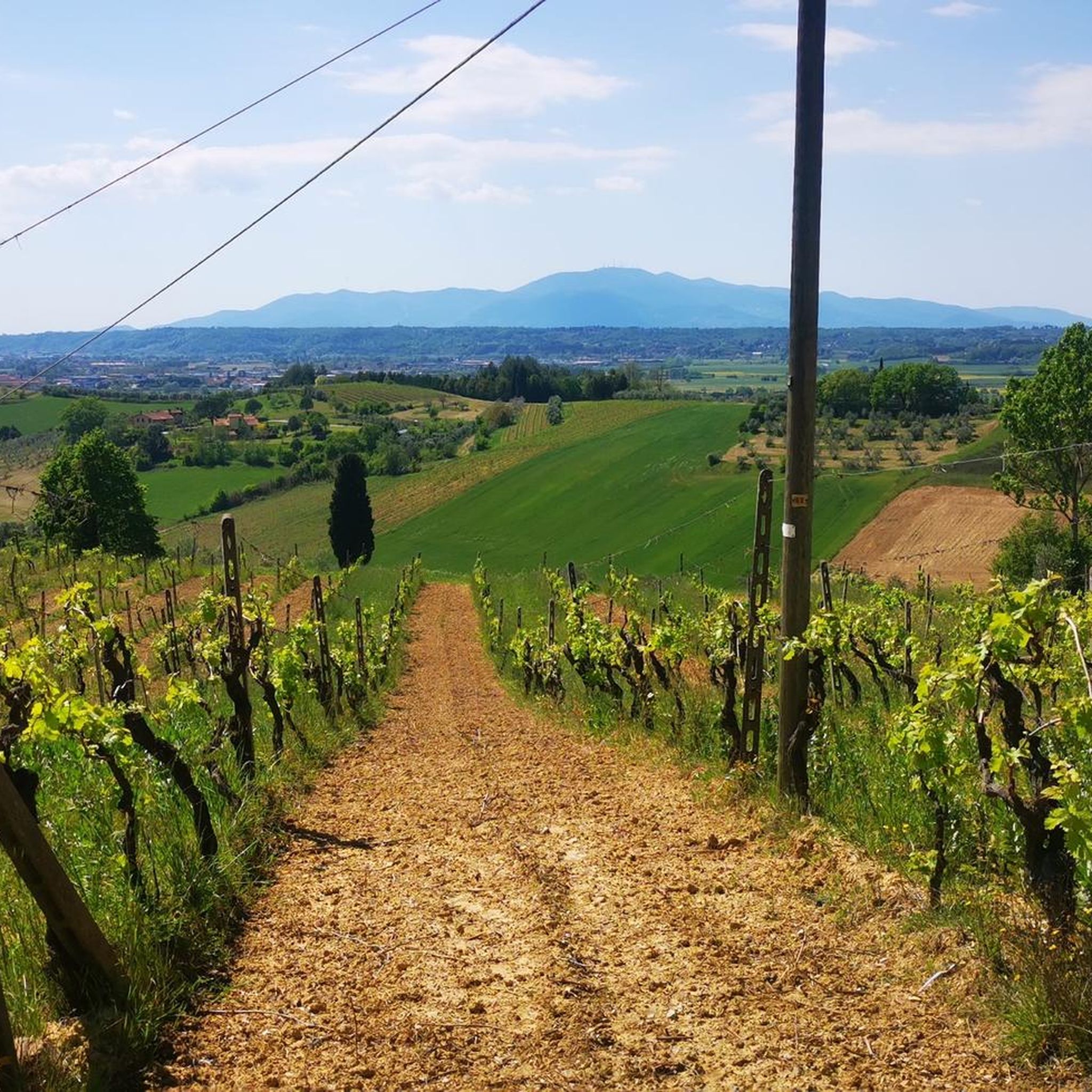
美しい緑地で、遠くにはフチェッキオのコルシーニ公園の塔も見えます
0
0

Rest stop along the Via Francigena
2
0


A village center worth seeing, typical for the area
0
0

The Poggio Salamartano viewpoint in Fucecchio is a historical and panoramic point of interest. It is located on a hill where the castle of Salamarzana once stood, which belonged to the Cadolingi counts. This point offers a splendid view of the Tuscan landscapes, ranging from the plain of the lower Valdarno to the hills of Cerbaie, and from Monte Serra to the Apuan Alps. One of the main attractions in Fucecchio is the Collegiata di San Giovanni Battista, an 11th-century church rebuilt in the 18th century in neoclassical style. Another notable place is the Abbey of San Salvatore, founded in 1001, which houses a painting by Jacopo Chimenti.
4
0
Piazza Vittorio Veneto is the main square of Fucecchio. Located on the Poggio Salamartano, the square is surrounded by symbols of the power of the ancient Tuscan families that ruled Fucecchio. The square is home to important buildings such as the Palazzo del Podestà, the former Palazzo Corsini, and the Museo di Fucecchio.
4
0
フチェッキオでのの人気観光スポット

komootモバイルアプリでインスピレーションを得よう


さらに探索
他の地域の最高のハイキングを見てみましょう。
