ヴィーゼンフェルデンのおすすめMTBライド
4.4
(55)
237
ライダー
61
ライド
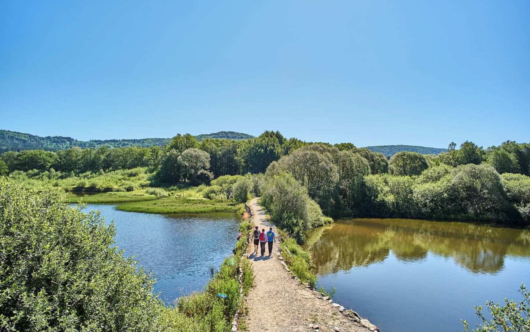
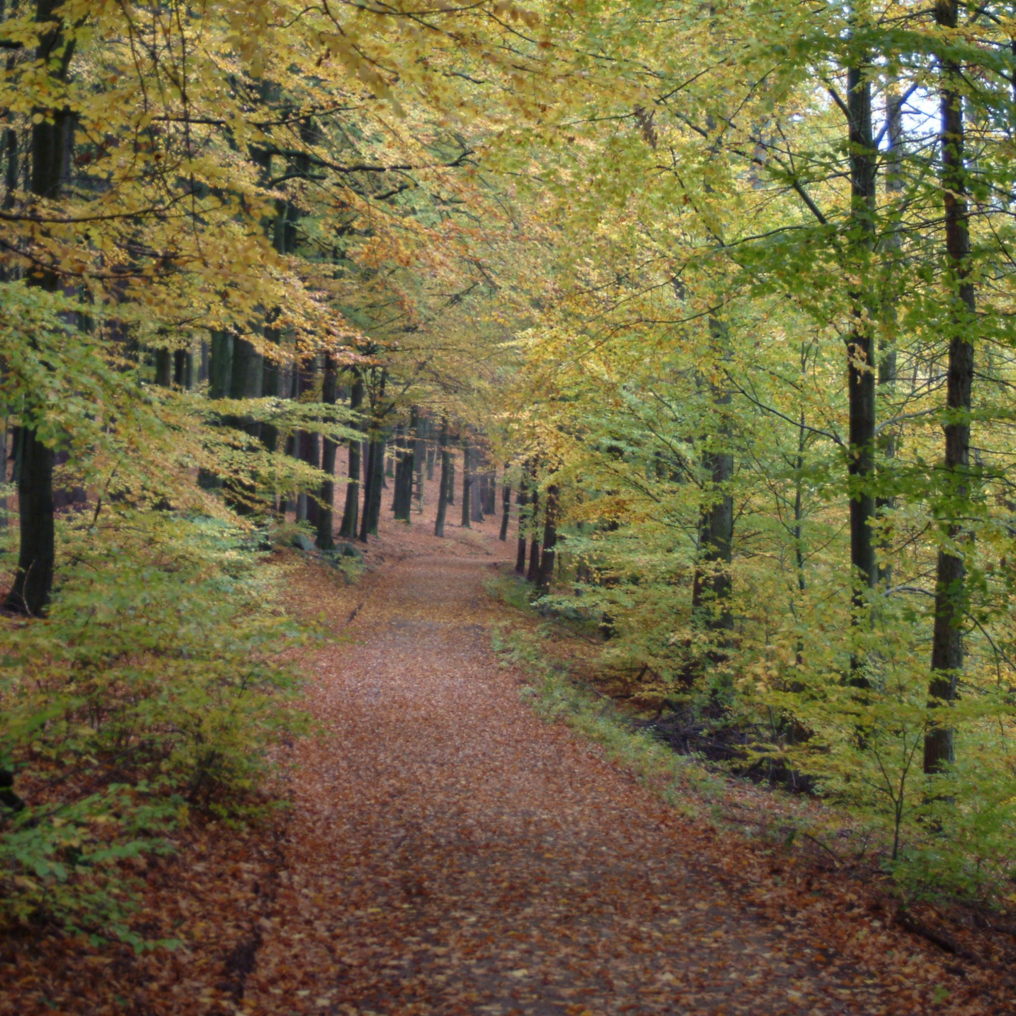
Wiesenfelden周辺のマウンテンバイクは、フォルダー・バイエリッシャー・ヴァルト内の標高650メートルの高台に広がる多様な地形を提供します。この地域は、広大な森林、数多くの池、そして穏やかな丘が特徴で、マウンテンバイクコースに変化に富んだコンディションをもたらします。ライダーは、整備された道と風光明媚な景色を特徴とする、手つかずの自然景観を探検できます。自然保護区や緑豊かな渓谷は、この地域での豊かなアウトドア体験に貢献しています。
Wiesenfelden周辺のベストマウンテンバイクコース
- 最も人気のあるマウンテンバイクコースは、ヴィーゼンフェルデンの村の池 – オーバーバイエルンの森の小川ループで、距離は21.7マイル(34.9km)、所要時間は2時間52分です。この中程度の難易度のルートは、地元の池の景観と森の小川を探検します。
- 地元のマウンテンバイカーに人気のもう一つのコースは、難易度の高いガルトナー・サミット(ゴイナ・サミット)– ガルトナーのガルトナー教会ループで、距離は27.7マイル(44.6km)です。このルートは、かなりの標高差とガルトナー・サミットからのパノラマビューが特徴です。
- 地元のマウンテンバイカーは、ゴールドシュタイク・シングルトラックセクション – トレイル8:ビュッシャーリの根っこが楽しいループも気に入っています。この18.0マイル(29.0km)のコースは、鬱蒼とした森と変化に富んだ地形を通り抜け、所要時間は約2時間28分です。
- Wiesenfelden周辺のマウンテンバイクは、広大な森林、数多くの池、そして穏やかな丘が特徴です。このネットワークは、中程度の難易度のループからより挑戦的な登りまで、さまざまなスキルレベルのオプションを提供します。
- Wiesenfeldenのルートは、40件以上のレビューから平均4.5つ星の評価を得ており、komootコミュニティから高く評価されています。200人以上のマウンテンバイカーがkomootを利用して、Wiesenfeldenの多様な地形を探検しました。
最終更新日: 7月 18, 2026
4.9
(9)
25
ライダー
35.1km
03:06
700m
700m
中程度のマウンテンバイクライド. ある程度のフィットネスレベルが必要です。 高度なライディングスキルが必要です。
5.0
(4)
14
ライダー
26.1km
02:17
610m
610m
中程度のマウンテンバイクライド. ある程度のフィットネスレベルが必要です。 あらゆるスキルレベルに適しています。

無料新規登録
5.0
(1)
10
ライダー
29.0km
02:38
600m
600m
難しいマウンテンバイクライド. ある程度のフィットネスレベルが必要です。 高度なライディングスキルが必要です。ツアーの一部で自転車を押して歩く必要があるかもしれません。
3.0
(1)
9
ライダー
44.5km
02:42
250m
250m
中程度のマウンテンバイクライド. ある程度のフィットネスレベルが必要です。 あらゆるスキルレベルに適しています。
5.0
(1)
5
ライダー
31.5km
02:42
530m
530m
中程度のマウンテンバイクライド. ある程度のフィットネスレベルが必要です。 高度なライディングスキルが必要です。
さらに多くのルートや他のユーザーのおすすめ情報を確認できます。
無料新規登録
すでにアカウントをお持ちですか?
おすすめのツアーは他のkomootユーザーが実際に経験した何千ものアクティビティに基づいています。



コミュニティからのヒント

かつてのスキーリフトは残念ながら撤去されました
0
0

The Straubing Lock was built in 1993 as part of the Straubing Weir project to ensure the navigability of the Danube. The lock chamber is located at Danube kilometer 2322.02. With a chamber length of 264 m, it has a usable length of 230 m and a usable width of 24 m. The lock chamber is constructed of concrete and is closed at both the upper and lower gates by a double-leaf mitre gate. Each mitre gate weighs 83 t. The 14-meter-high and 12-meter-wide steel gates rest on a spherical bearing. The chamber is filled and emptied via bypass channels, each with two bypass gates at the upper and lower gates. The chamber fills in 20 minutes with a lock water volume of 44,000 m³. A lockage takes 25 minutes. The lock has a total capacity of 73,000 m³. [1] The level of the upper edge of the lock platform is 321.5 m above sea level (NN), and the level of the lower lock sill is 308.7 m above sea level (NN). For maintenance and repair work on the gates and closures, the lock is equipped with a gantry crane with a lifting capacity of 100 tons, which can be moved along the entire length of the lock. At the associated weir of the Straubing power plant, the design impoundment level is 320 m above sea level (NN). The water level of the lower lock basin is 313.75 m above sea level (NN) at mean water level (MTF) and 312.32 m above sea level (NN) at regulated low water level (RNW). The corresponding head is 6.25 meters at MTF and 7.68 meters at MTW. An information panel at the facility states the lock head as 6.21 m. The lock is remotely controlled from the WSV control center in Regensburg. This control center also remotely operates the Geisling, Regensburg, and Bad Abbach locks. Originally, the Straubing lock was operated from the lock tower on site. Immediately below the lower lock gate, the Kagers Bridge crosses the Alte Donau lock canal. The Danube's kilometer markers show a discrepancy of 7.9 kilometers at the Straubing lock. Therefore, both kilometer markers 2330 and 2322 are present at the lock basin. Source: https://de.wikipedia.org/wiki/Schleuse_Straubing
1
0
Very beautiful chapel in the woods, very well-maintained and lovely
0
0

Beautiful trail, even in summer 😄
0
0
Idyllic property, unfortunately already in a state of severe disrepair...
1
0
Very nice path through the forest
0
0
ヴィーゼンフェルデンでのの人気観光スポット

komootモバイルアプリでインスピレーションを得よう


さらに探索
他の地域の最高のMTBトレイルを見てみましょう。
