ピモンテのおすすめランニングルート
4.3
(83)
3,848
ランナー
190
ランニング
ピモンテでランニングを楽しめば、このエリアをより深く知ることができます。ランニングに適した美しいルートが見つかるように、komootがピモンテでのルートのコレクション全体を評価して選び抜いた、人気ランニングトレイルをご紹介します。ルートをクリックして詳細を表示し、他のユーザーがアップロードした役立つ情報や写真を閲覧しましょう。
最終更新日: 10月 11, 2026
89
ランナー
10.7km
01:06
40m
40m
中程度のジョギング. ある程度のフィットネスレベルが必要です。 全般的に舗装された状態です。あらゆるスキルレベルに適しています。
125
ランナー
7.49km
00:46
30m
30m
中程度のジョギング. ある程度のフィットネスレベルが必要です。 全般的に舗装された状態です。あらゆるスキルレベルに適しています。

5.0
(1)
24
ランナー
7.99km
01:09
290m
290m
難しいジョギング. ある程度のフィットネスレベルが必要です。 安定して歩行できる技術、丈夫な靴、高標高地での登山経験が必要です。
12
ランナー
14.2km
01:33
260m
260m
中程度のジョギング. ある程度のフィットネスレベルが必要です。 全般的に舗装された状態です。あらゆるスキルレベルに適しています。
12
ランナー
18.3km
03:06
1,070m
1,070m
難しいジョギング. 標準以上のフィットネスレベルが必要です。 安定して歩行できる技術、丈夫な靴、高標高地での登山経験が必要です。
さらに多くのルートや他のユーザーのおすすめ情報を確認できます。
すでにアカウントをお持ちですか?
おすすめのツアーは他のkomootユーザーが実際に経験した何千ものアクティビティに基づいています。
無料アカウントで今日から始めよう
次の冒険が待っています。
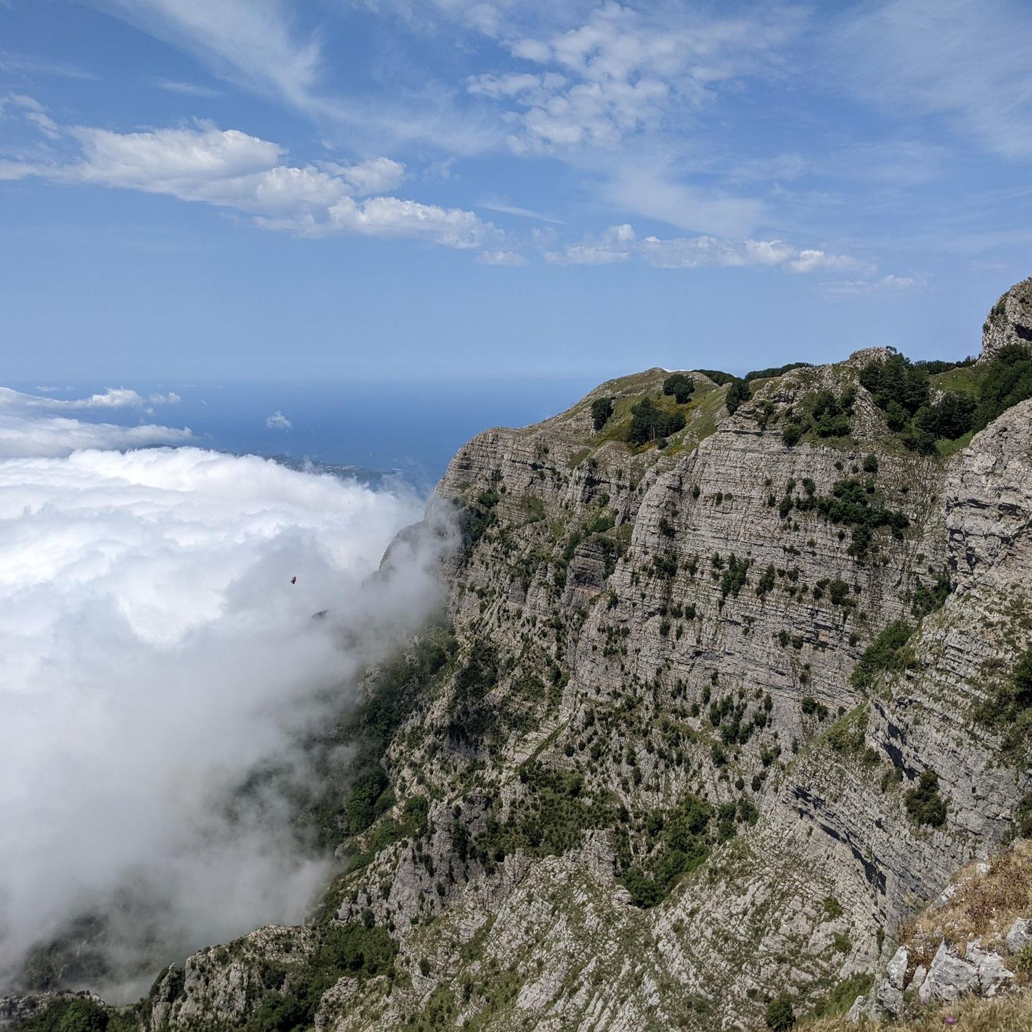
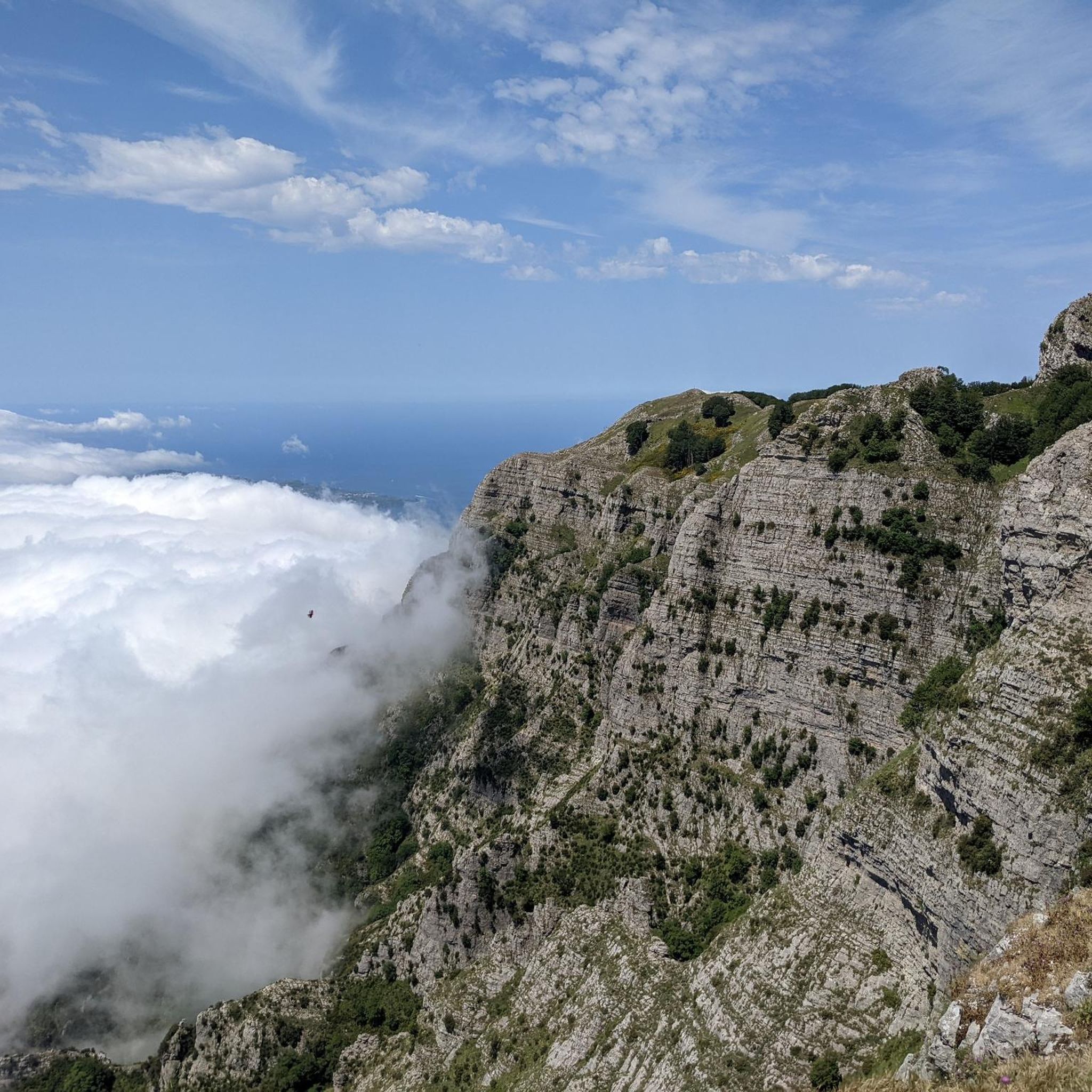
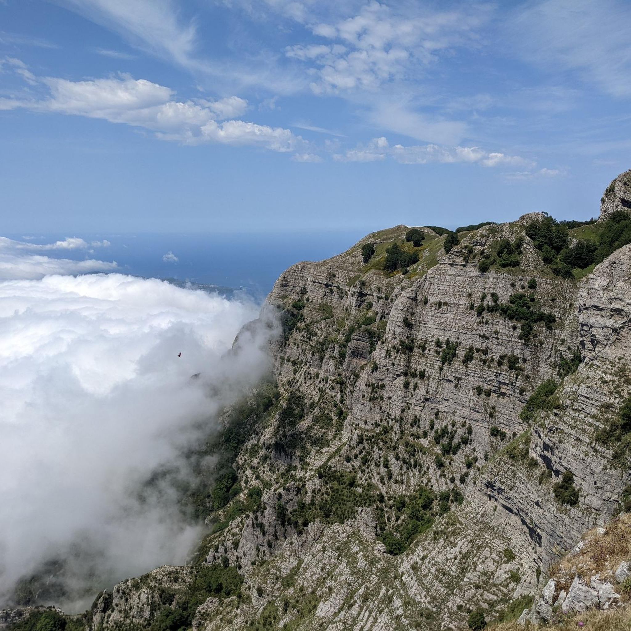
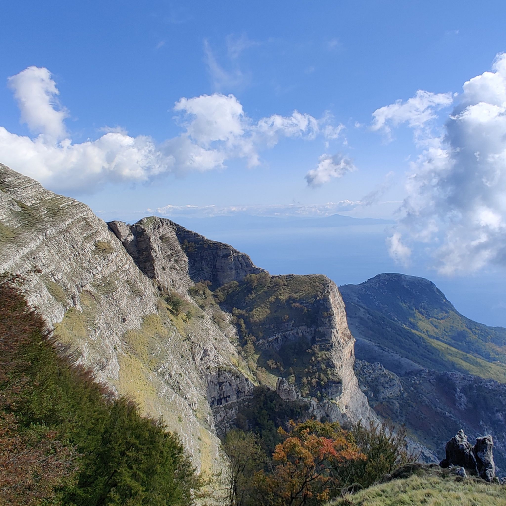
コミュニティからのヒント

カステッラマーレ・ディ・スタビアから見るヴェスヴィオ山の眺めは、ナポリ湾全体で最も象徴的で印象的な景観の1つです。この視点から、火山のシルエットは海岸の前にそびえ立ち、湾のカーブを壮大に締めくくっています
0
0

ポッツァーノのベルヴェデーレは、ポッツァーノの海岸沿いの集落にあるカステッランマーレ・ディ・スタビアに位置する、歴史的で魅力的なパノラマビューポイントです。ナポリ湾全体、ヴェスヴィオ山、ソレント海岸の始まりを囲む有名な息をのむような景色を眺めることができます。
0
0
カステッランマーレ・ディ・スタビアの海辺の遊歩道(ヴィラ・コムナーレの区間としても知られています)は、カンパニア州で最も印象的な海辺の散歩道の1つです。ジュゼッペ・ガリバルディ通りに沿って約2キロメートルにわたり、ナポリ湾、ヴェスヴィオ山、ファイート山(Monte Faito)の壮大なパノラマビューを楽しめます。
0
0

Even from the beach of Castellammare di Stabia, a town with over 60,000 inhabitants in the province of Naples, you can easily observe the top of Vesuvius. The volcano is imposing and often characterizes the skyline of these areas.
1
0

The hike on the Sentiero degli Dei from Bomerano to Positano is a highlight on the Amalfi Coast. Breathtaking views accompany the path, which does not require a guide, but does require good shoes and plenty of water. After about 30 minutes, the path splits into a higher and a lower route, which later merge again. The destination is Nocelle, where you can fortify yourself with a refreshing lemon slush. From there, two paths lead down to Positano, either via Montepertuso or directly over hundreds of steps. Setting off early in the morning is recommended.
3
0

'in Muntgna you can see from many cities, from the beach of Castellammare, only the sea between us.
0
0

komootモバイルアプリでインスピレーションを得よう


さらに探索
他の地域の最高のランニングトレイル & ルートを見てみましょう。
