ナルカーオ/ナルカーオのおすすめウォーキング&ハイキングルート
4.1
(49)
213
ハイカー
39
ハイキング
ナルカーオ/ナルカーオ周辺でのハイキングは、景色を満喫するのに最適な手段のひとつですが、適切なハイキングルートを見つけることは簡単ではありません。 ナルカーオ/ナルカーオ周辺の人気ハイキング&ウォーキングコースを参考にすれば、行きたいルートをすぐに見つけられます。
最終更新日: 11月 6, 2026
3.5
(2)
5
ハイカー
12.8km
03:29
190m
190m
中程度のハイキング. ある程度のフィットネスレベルが必要です。 歩きやすい道です。
3.0
(1)
4
ハイカー
10.7km
02:51
110m
110m
中程度のハイキング. ある程度のフィットネスレベルが必要です。 歩きやすい道です。

8
ハイカー
21.9km
06:18
490m
500m
難しいハイキング. 標準以上のフィットネスレベルが必要です。 歩きやすい道です。
4.5
(4)
9
ハイカー
8.96km
02:32
200m
200m
中程度のハイキング. ある程度のフィットネスレベルが必要です。 歩きやすい道です。
5.0
(4)
13
ハイカー
3.38km
01:01
110m
110m
初級者向けハイキング. 歩きやすい道です。
さらに多くのルートや他のユーザーのおすすめ情報を確認できます。
すでにアカウントをお持ちですか?
おすすめのツアーは他のkomootユーザーが実際に経験した何千ものアクティビティに基づいています。
無料アカウントで今日から始めよう
次の冒険が待っています。


コミュニティからのヒント

beautiful archaeological site tomb of the giants Barrancu mannu
0
0

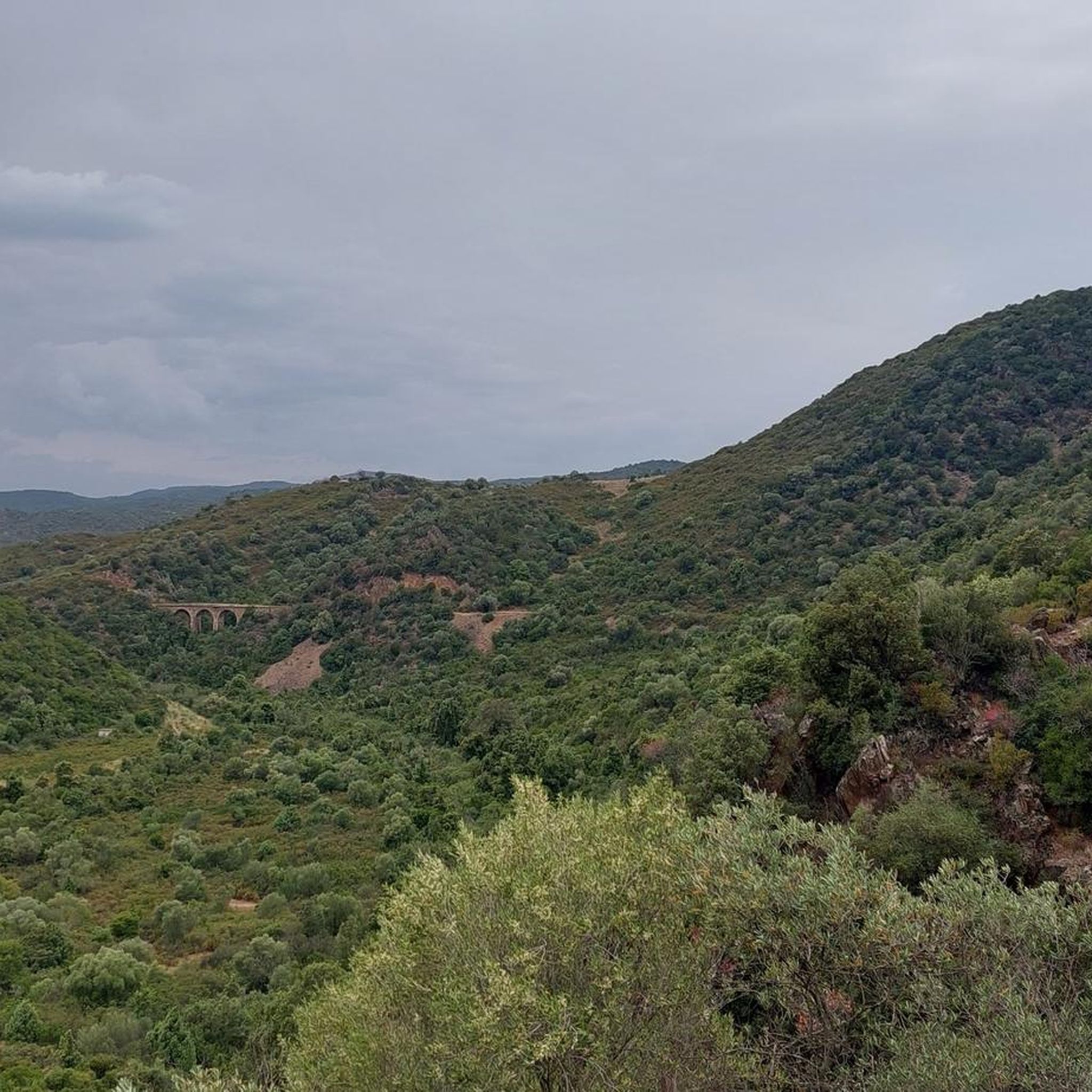
Known as the Sulcis Railway, this narrow-gauge line was built in the 1920s by the Ferrovie Meridionali Sarde (Sardinian Southern Railways) to connect the mining areas of Sulcis with coastal towns and ports of embarkation. The route passed through isolated landscapes and wooded valleys, serving villages and mines that are now partly abandoned. Today, bridges, tunnels, and disused stations remain, testifying to the era when the railway was the main means of communication for miners and goods in the southwest of the island.
1
0
The Rosas Mine, active from 1849 to 1980 for the extraction of silver-bearing galena, lead, and zinc, is now a multi-purpose museum that chronicles the mining history of the Sulcis region. A guided tour allows access to the underground tunnels and a close-up look at the restored structures, while nearby hiking trails allow visitors to explore the natural environment and traces of the mining activity. For updated hours, costs, and reservations: https://museorosasnarcao.it/.
1
0

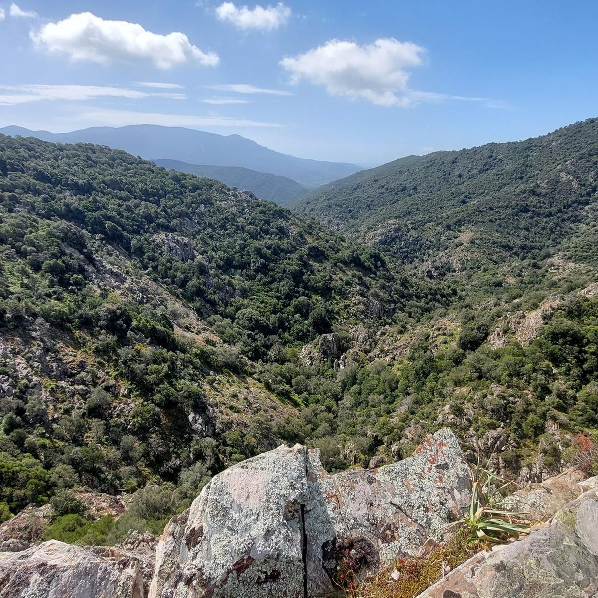
Beautiful forest trails. The mining center has a picnic area with a water tap.
0
0

The giants' tomb of Barrancu Mannu, locally known as Sa fraigada, is a Nuragic monument located on a hill west of the Baccu Mannu stream, near an ancient village with defensive walls. This "row" tomb has a 20-meter apse-shaped main body with a truncated ogive burial chamber and a semicircular exedra of almost 15 meters. The façade, almost 5 meters high, preserves a cup on the architrave. The construction technique suggests a dating to the Middle Bronze Age (1400-1300 BC), in the absence of excavations.
1
0

The Byzantine Church of Sant'Elia, built between the 9th and 12th centuries with small, unsquared stones, has the typical Greek cross plan, with barrel vaults and a central truncated cone dome.
0
0
The Church of Sant'Elia is a country church located in the municipality of Nuxis, a town in southwestern Sardinia. Consecrated to Catholic worship, it is part of the parish of San Pietro, diocese of Iglesias. The church is located a few kilometers from the town, in the Tattinu River valley. Dating back to the Byzantine era, it was built with small, unhewn stones between the 9th and 12th centuries. It features a typical Greek cross plan, with barrel vaults and a central truncated cone dome.
1
0

Interesting facility, lost places...but the opening times on the internet are wrong. Apparently mostly closed. The outdoor facilities can still be visited though. There are lovely shady picnic areas, and the water taps work!
0
0
ナルカーオ/ナルカーオでのの人気観光スポット

komootモバイルアプリでインスピレーションを得よう


さらに探索
他の地域の最高のハイキングを見てみましょう。
