カンツォのおすすめランニングルート
4.0
(8)
270
ランナー
19
ランニング
カンツォでランニングを楽しめば、このエリアをより深く知ることができます。ランニングに適した美しいルートが見つかるように、komootがカンツォでのルートのコレクション全体を評価して選び抜いた、人気ランニングトレイルをご紹介します。ルートをクリックして詳細を表示し、他のユーザーがアップロードした役立つ情報や写真を閲覧しましょう。
最終更新日: 9月 30, 2026
41
ランナー
12.4km
02:32
1,010m
1,010m
難しいジョギング. 標準以上のフィットネスレベルが必要です。 安定して歩行できる技術、丈夫な靴、高標高地での登山経験が必要です。
4.8
(5)
54
ランナー
7.79km
01:04
370m
370m
難しいジョギング. 標準以上のフィットネスレベルが必要です。 安定して歩行できる技術、丈夫な靴、高標高地での登山経験が必要です。

3.0
(1)
15
ランナー
6.55km
00:41
70m
70m
中程度のジョギング. ある程度のフィットネスレベルが必要です。 全般的に舗装された状態です。あらゆるスキルレベルに適しています。
23
ランナー
9.06km
01:34
560m
560m
難しいジョギング. 標準以上のフィットネスレベルが必要です。 安定して歩行できる技術、丈夫な靴、高標高地での登山経験が必要です。
16
ランナー
10.1km
02:01
750m
760m
難しいジョギング. 標準以上のフィットネスレベルが必要です。 安定して歩行できる技術、丈夫な靴、高標高地での登山経験が必要です。
さらに多くのルートや他のユーザーのおすすめ情報を確認できます。
すでにアカウントをお持ちですか?
おすすめのツアーは他のkomootユーザーが実際に経験した何千ものアクティビティに基づいています。




コミュニティからのヒント

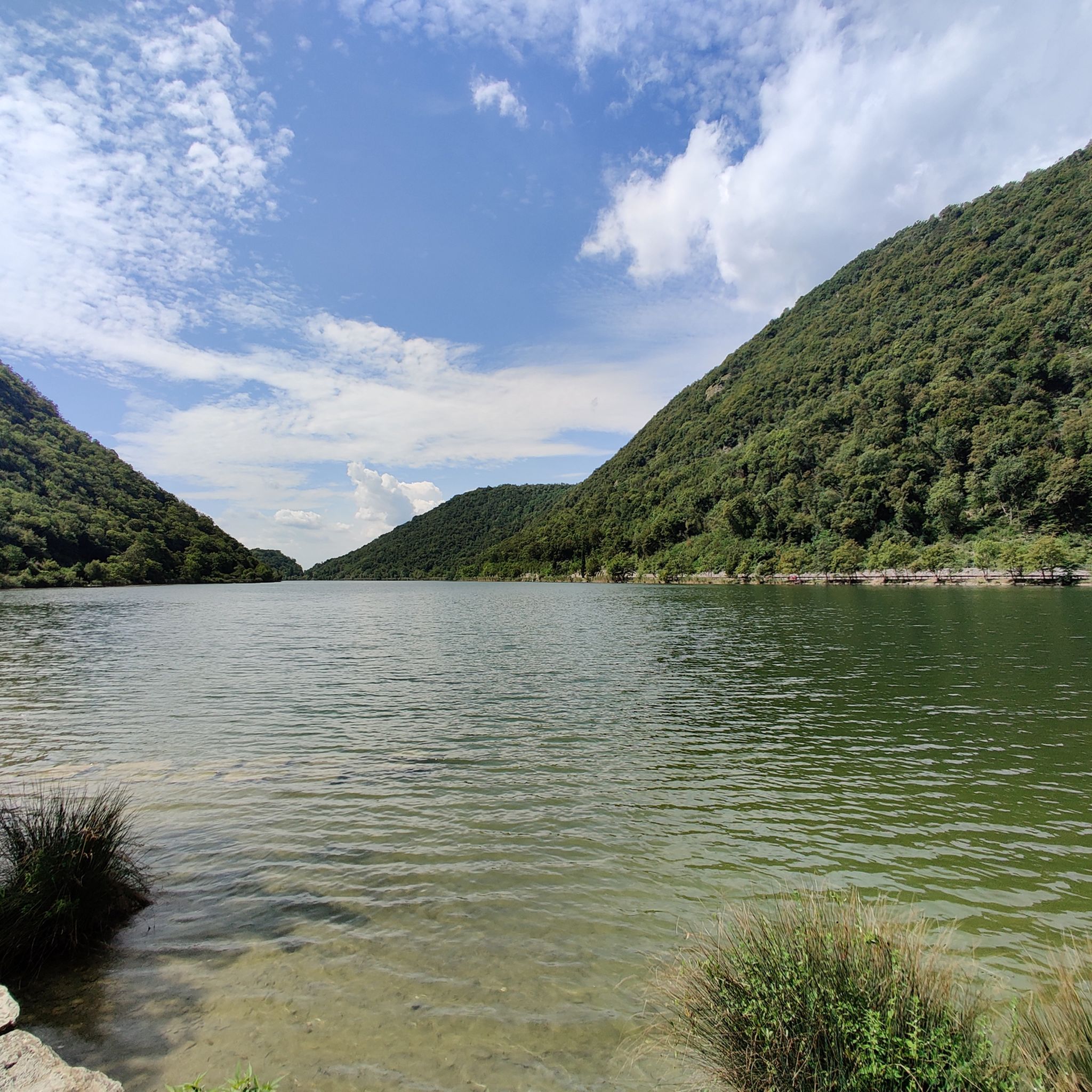
セグリーノ湖は、コモ県にある氷河起源の小さな高山帯の宝石で、ラリアーノ三角形内のブリアンツァの中心部にあります。地下水源(fons sacer)と産業排水が全くないため、ヨーロッパで最もきれいな湖の一つと考えられています。地方自治体レベルで関心のある地域公園として保護されているこの自然のオアシスは、狭くて細長い特徴的な形をしており、19世紀のスタンダール、アントニオ・フォガッツァーロ、イッポリト・ニエヴォといった偉大な作家たちにインスピレーションを与えてきました。
0
0

タンデムパラグライダーで飛ぶことが可能です:www.cornizzolo.comをご覧ください
0
0

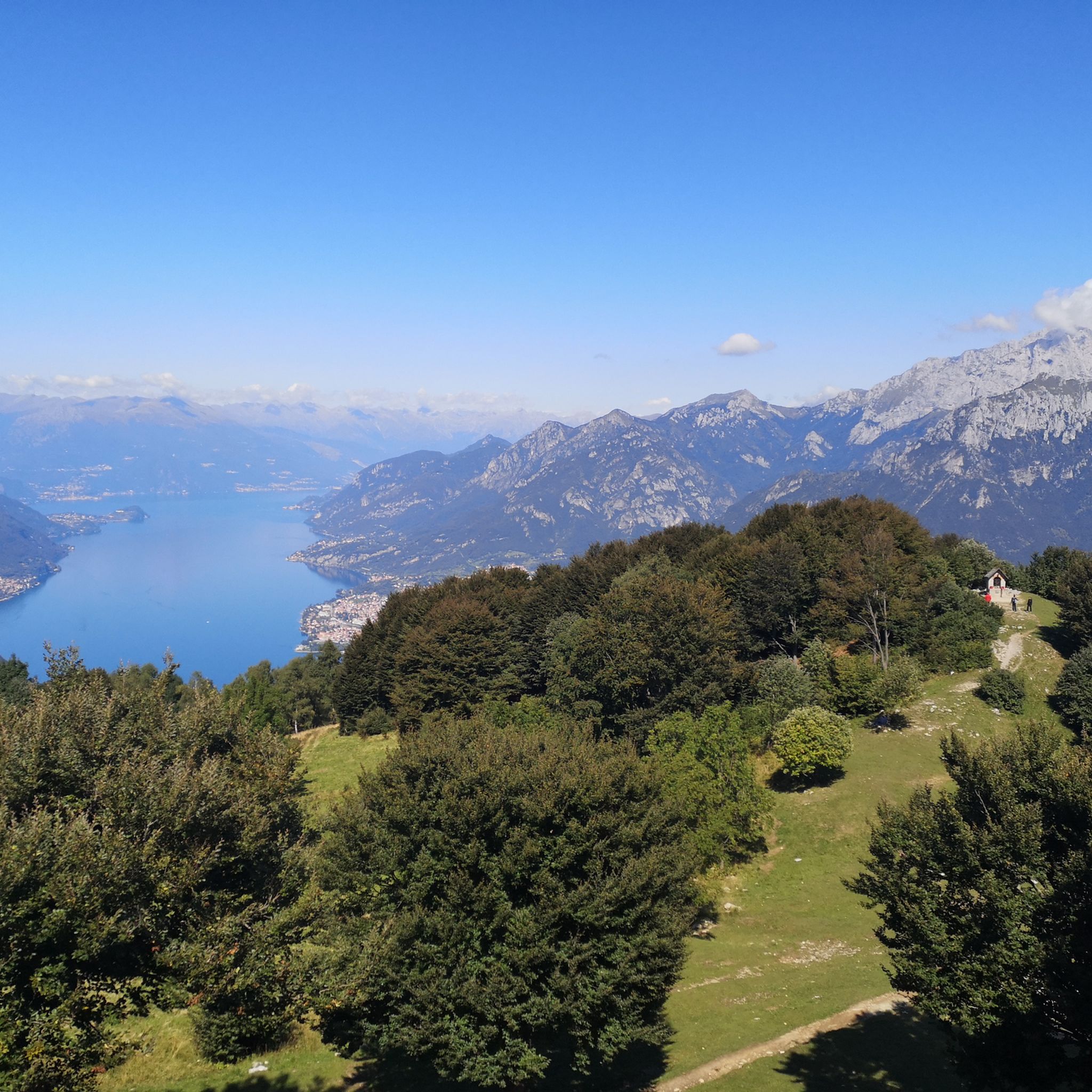
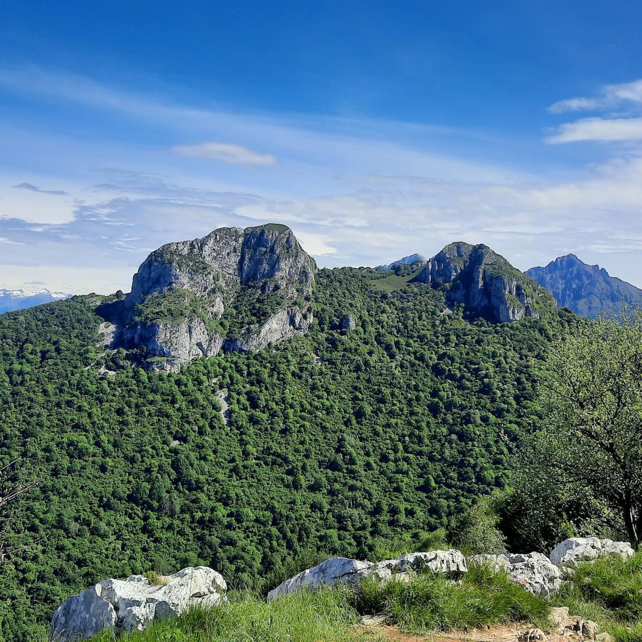
モンテ・コルニッツォーロ山頂からの素晴らしい360度のパノラマ
0
0

From the station to the start of the trail you pass through the very pretty little town of Canzo
0
0
Done downhill from Monte Prasanto, well indicated for returning to Canzo
0
0

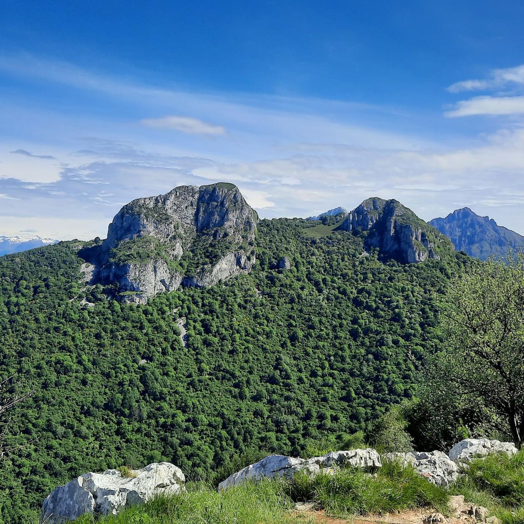
crossing point is located under the Corni di Canzo
0
0

We arrived at this spot which was already closed on Sunday, I think it's a nice place to eat
0
0
It is part of the return path of this excursion, let's say that it follows the entire flow of the stream until it reaches the bottom
0
0

komootモバイルアプリでインスピレーションを得よう


さらに探索
他の地域の最高のランニングトレイル & ルートを見てみましょう。
