ガルツェーノのおすすめランニングルート
4.5
(242)
9,193
ランナー
225
ランニング
ガルツェーノでランニングを楽しめば、このエリアをより深く知ることができます。ランニングに適した美しいルートが見つかるように、komootがガルツェーノでのルートのコレクション全体を評価して選び抜いた、人気ランニングトレイルをご紹介します。ルートをクリックして詳細を表示し、他のユーザーがアップロードした役立つ情報や写真を閲覧しましょう。
最終更新日: 10月 10, 2026
24
ランナー
12.4km
02:18
940m
940m
This difficult 7.7-mile jogging trail near Dongo offers challenging terrain, significant elevation gain, and spectacular Lake Como views.
4
ランナー
10.6km
01:13
310m
310m
難しいジョギング. 標準以上のフィットネスレベルが必要です。 全般的に舗装された状態です。あらゆるスキルレベルに適しています。

1
ランナー
10.1km
01:46
680m
680m
難しいジョギング. 標準以上のフィットネスレベルが必要です。 安定して歩行できる技術、丈夫な靴、高標高地での登山経験が必要です。
2
ランナー
4.74km
00:45
320m
320m
A difficult 2.9-mile (4.7 km) jogging loop on the Lake Como High Route, offering panoramic views from Passo San Jorio.
106
ランナー
26.7km
02:46
90m
90m
難しいジョギング. 標準以上のフィットネスレベルが必要です。 全般的に舗装された状態です。あらゆるスキルレベルに適しています。
さらに多くのルートや他のユーザーのおすすめ情報を確認できます。
すでにアカウントをお持ちですか?
おすすめのツアーは他のkomootユーザーが実際に経験した何千ものアクティビティに基づいています。
無料アカウントで今日から始めよう
次の冒険が待っています。

コミュニティからのヒント


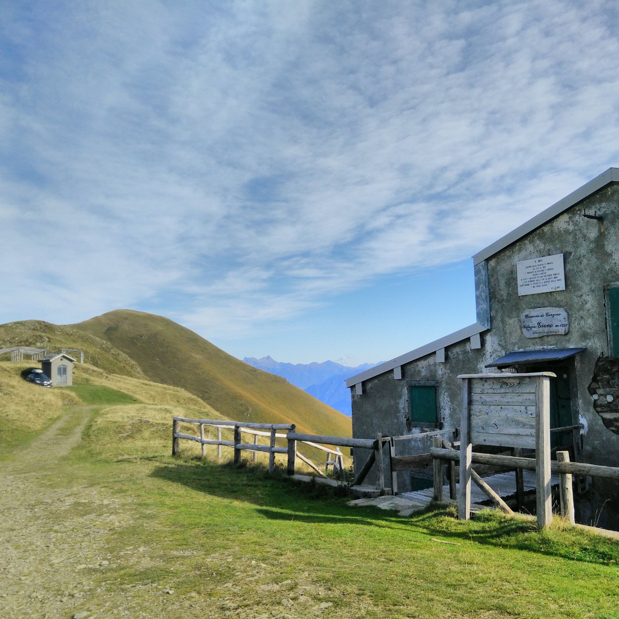
Border pass between Italy and Switzerland, once an important route for smuggling and partisan warfare in the area. On the Italian side, the trail is easily accessible by mountain bike, although gravel riding is also a challenge, especially along the last two kilometers from Giovo. The pass is located at an altitude of 2,000 meters, and just below is the refuge of the same name. A stunning setting, largely untouched by human activity.
0
0
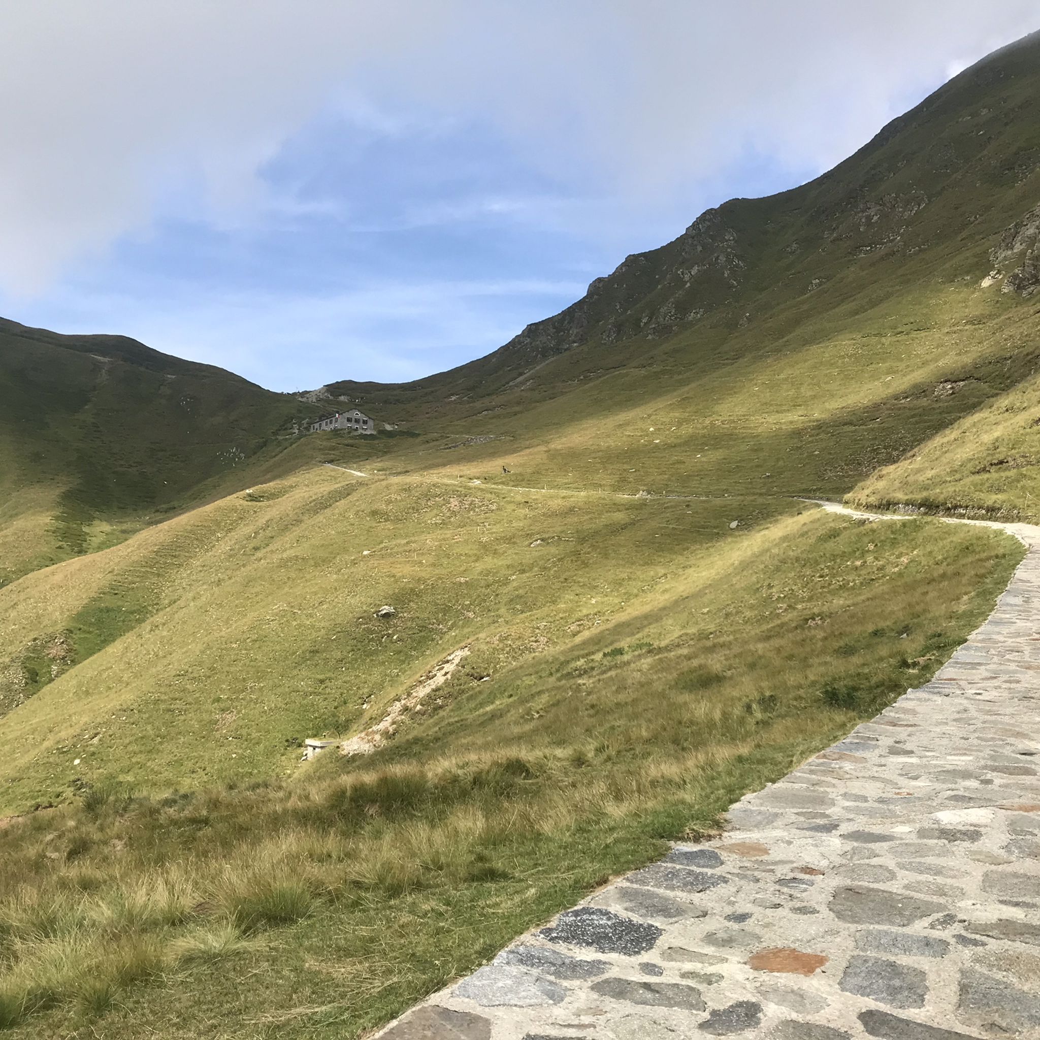
Open from June to September, this very welcoming refuge is located a few meters below the pass of the same name. The last 2 km are very difficult for gravel bikes, with a very rough road. The final section becomes paved with large stones, with gradients always above 10°. Stunning view and a large selection of snacks for those arriving.
0
0


Be careful, you will sometimes be swarmed by goats here.🐐🐐🐐
1
1

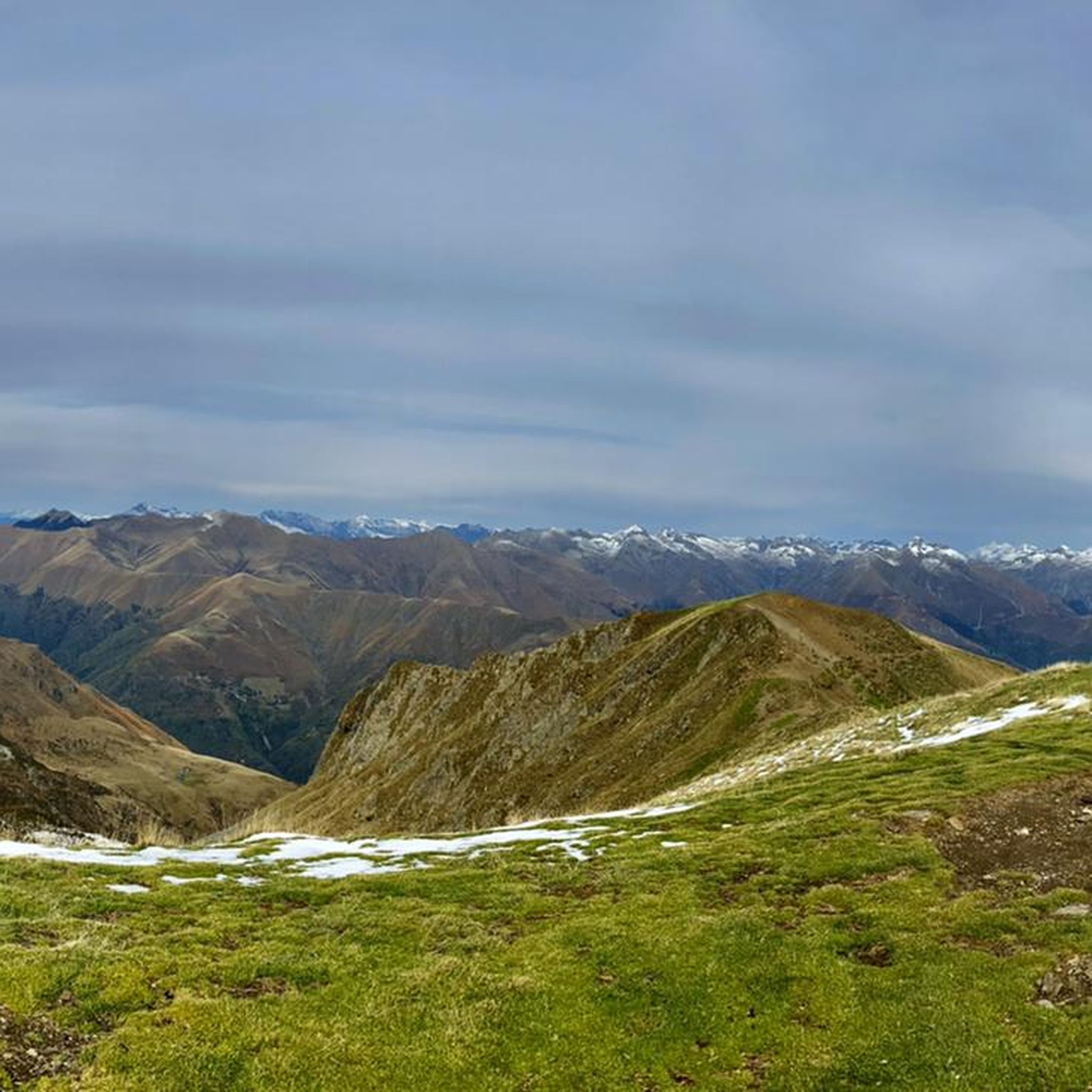
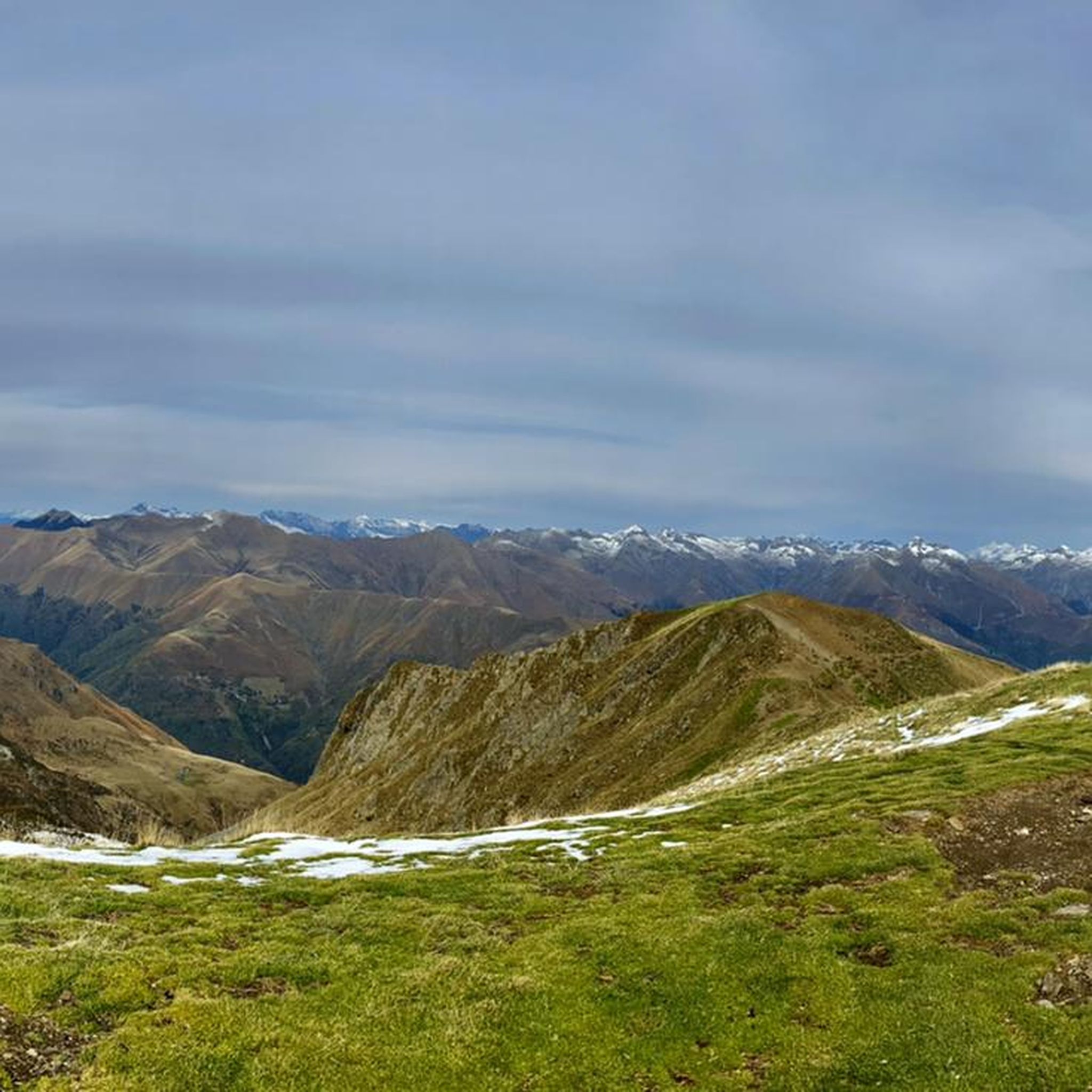
Great views of Lake Como and the surrounding mountains are worth the trip!
0
0
Very beautiful church and opposite it a very beautiful cemetery with large family gravestones and caves
0
0

komootモバイルアプリでインスピレーションを得よう


さらに探索
他の地域の最高のランニングトレイル & ルートを見てみましょう。
