コルニーリオのおすすめウォーキング&ハイキングルート
4.5
(969)
5,294
ハイカー
137
ハイキング
コルニーリオ周辺でのハイキングは、景色を満喫するのに最適な手段のひとつですが、適切なハイキングルートを見つけることは簡単ではありません。 コルニーリオ周辺の人気ハイキング&ウォーキングコースを参考にすれば、行きたいルートをすぐに見つけられます。
最終更新日: 9月 13, 2026
4.6
(27)
119
ハイカー
7.30km
03:24
530m
540m
Embark on a moderate 4.5-mile (7.3 km) loop from Rifugio Lagdei, offering a rewarding hike through the Northern Apennines. This route, which typically takes around 3 hours and 23 minutes…
4.7
(10)
72
ハイカー
12.3km
05:15
760m
760m
Embark on a challenging hike through the Parco Regionale delle Valli del Parma e del Cedra, often called the "Park of the Hundred Lakes." This difficult 7.6-mile (12.3 km) loop…

4.4
(17)
90
ハイカー
5.99km
02:12
310m
310m
Embark on the Lagoni and Badignana Huts Loop, a moderate hike that guides you through the diverse landscapes of the Appennino Tosco Emiliano National Park. This route covers 3.7 miles…
4.8
(6)
22
ハイカー
14.7km
04:54
710m
710m
Scenic ridge walk through wild horse pastures to Monte Navert's 360-degree Apennine panorama.
5.0
(2)
8
ハイカー
5.28km
02:10
320m
320m
Hike the moderate 3.3-mile Monte Tavola Summit Trail from Rifugio Lagdei (via CAI 725) for panoramic views and forest paths.
さらに多くのルートや他のユーザーのおすすめ情報を確認できます。
すでにアカウントをお持ちですか?
おすすめのツアーは他のkomootユーザーが実際に経験した何千ものアクティビティに基づいています。


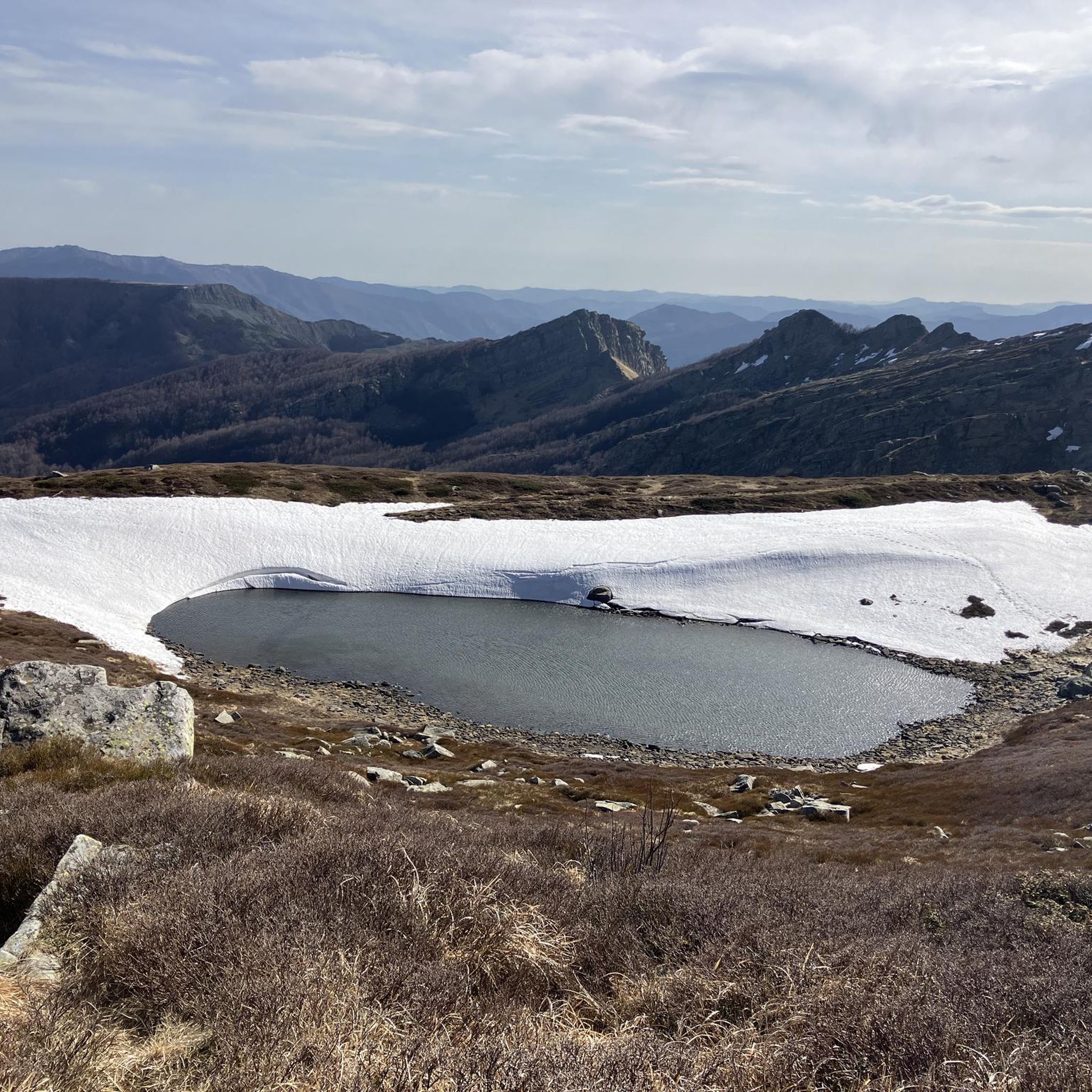
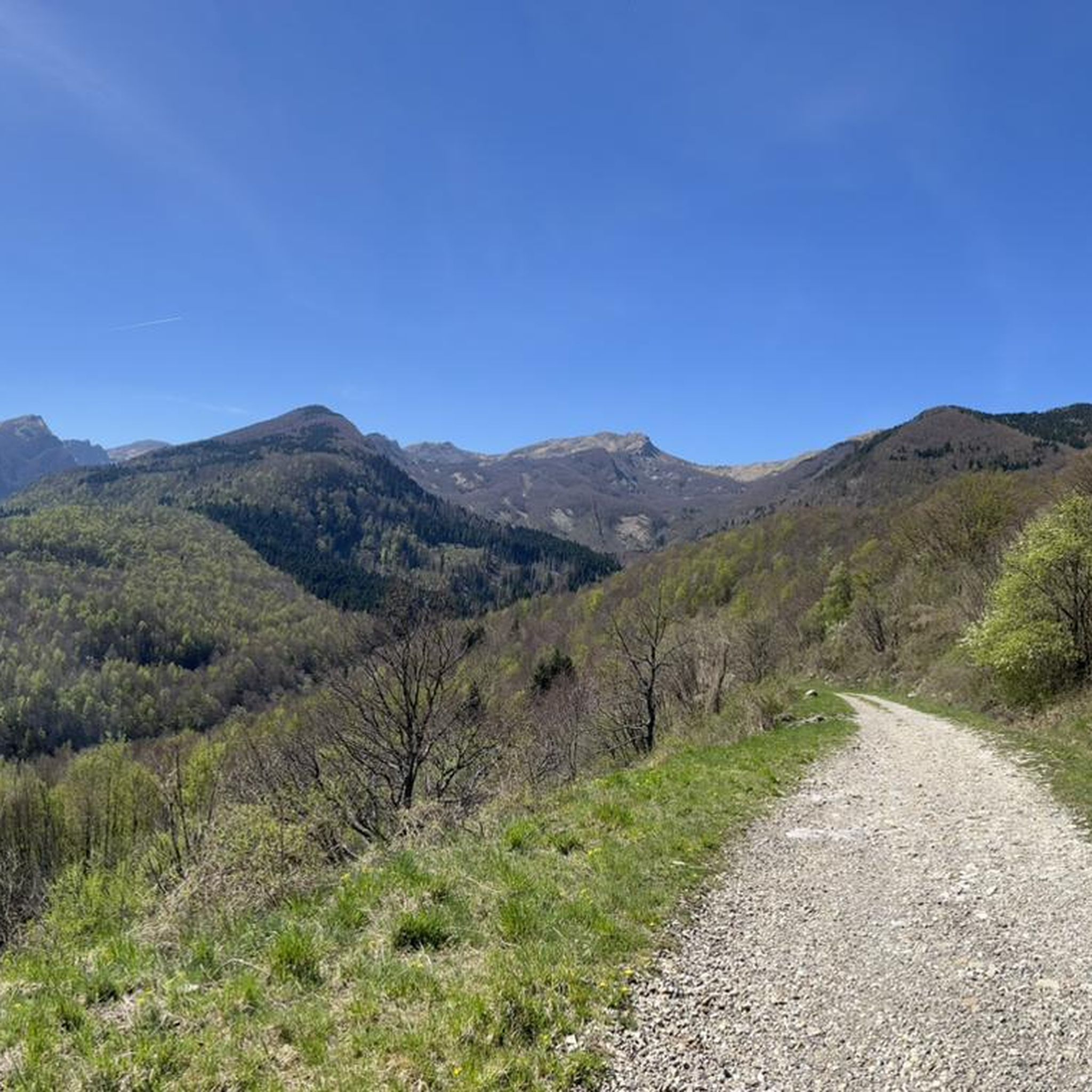
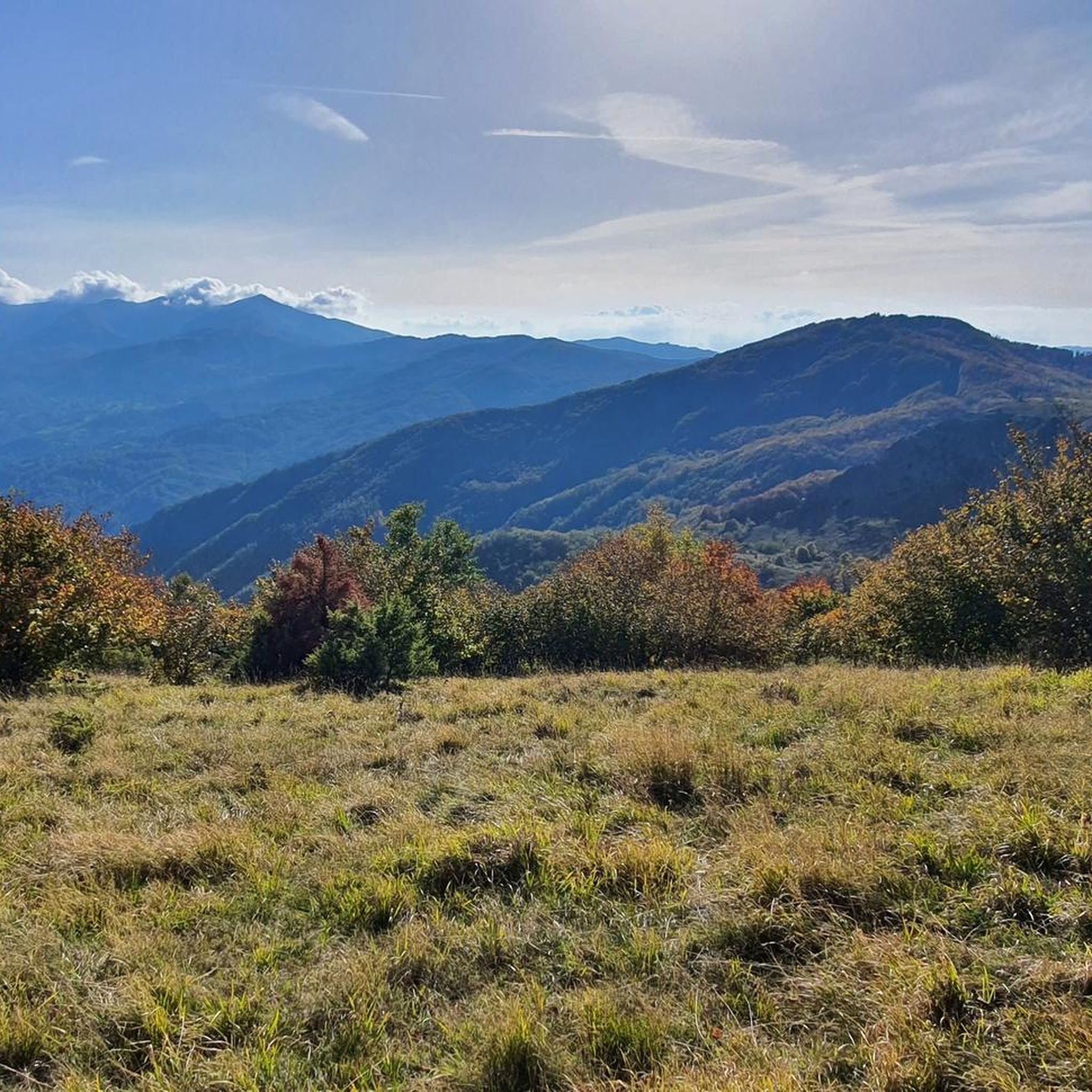




コミュニティからのヒント

リラックスして過ごすのに最適な場所です。Lagoniの林道から徒歩でもMTBでも簡単にアクセスできます。
3
0

ラゴ・サント・パルメンセ湖は、エミリア=ロマーニャ州で最も広大な氷河湖であり、北アペニン山脈全体で最大の自然の水面です。コルニリオの自治体に標高1,507メートルに位置し、面積は81,000平方メートルを超え、最大水深は22.5メートルに達します。トスカーナ=エミリアン・アペニン国立公園(チェント・ラキ公園としても知られています)内にあり、モンテ・マルマーニャの断壁に囲まれています。
1
0

美しい場所です。車で避難小屋まで行きたい場合は、忍耐強く、最後の区間は未舗装です(ペダルを漕ぐのに美しい)
0
0
十字架にたどり着くのは、どの季節でもいつも楽しいです。
0
0
A refuge on Lago Santo Parmense. Located in a magnificent setting, it's a delightful place to stop. It's managed; all the information is on the website. It can be reached on foot or by chairlift from Lagdei.
2
0
There's not much to say here. Lago Santo is on the list of top places in our Apennines. A quick web search and a few photos are all it takes to understand what it's all about.
3
0


you can admire its lake (Gemio inferiore) and everything that surrounds it, you have to go there to see it in person
3
0

komootモバイルアプリでインスピレーションを得よう


さらに探索
他の地域の最高のハイキングを見てみましょう。
