セントエリアス山脈のおすすめウォーキング&ハイキングルート
4.6
(94)
749
ハイカー
15
ハイキング
セントエリアス山脈でのハイキングに出かけて、ユーコンのこのエリアを探索してみませんか?このガイドでご紹介するのは、komootがセントエリアス山脈でのハイキング・ウォーキングルートのコレクション全体を評価して選び抜いた、このエリアの人気ハイキングルートです。あなたに合った でのハイキングを見つけるには、他のユーザーがアップロードした役立つ情報や写真を閲覧し、各ルートに関するみんなの意見やコメントを参考にしましょう。
最終更新日: 9月 29, 2026
4.9
(10)
114
ハイカー
10.1km
03:21
480m
480m
中程度のハイキング. ある程度のフィットネスレベルが必要です。 進みやすいルートです。あらゆるスキルレベルに適しています。
4.9
(11)
79
ハイカー
7.75km
02:11
170m
170m
Hike the moderate 4.8-mile Saint Elias Lake Trail in Kluane National Park, gaining 543 feet to a scenic lake nestled among mountains.

4.9
(11)
79
ハイカー
7.75km
02:11
170m
170m
中程度のハイキング. ある程度のフィットネスレベルが必要です。 進みやすいルートです。あらゆるスキルレベルに適しています。
4.5
(4)
47
ハイカー
14.0km
08:03
1,260m
1,260m
難しいハイキング. 標準以上のフィットネスレベルが必要です。 安定して歩行できる技術、丈夫な靴、高標高地での登山経験が必要です。
4.0
(1)
10
ハイカー
14.1km
04:03
330m
330m
Hike the moderate 8.8-mile Alsek River Valley Trail in Kluane National Park, offering glacial views and wildlife spotting.
5.0
(1)
5
ハイカー
2.31km
00:47
120m
120m
初級者向けハイキング. あらゆるフィットネスレベルに適しています。 進みやすいルートです。あらゆるスキルレベルに適しています。
3
ハイカー
1.24km
00:24
60m
60m
初級者向けハイキング. あらゆるフィットネスレベルに適しています。 進みやすいルートです。あらゆるスキルレベルに適しています。
13.0km
03:54
440m
440m
中程度のハイキング. ある程度のフィットネスレベルが必要です。 進みやすいルートです。あらゆるスキルレベルに適しています。
32.4km
08:37
330m
330m
難しいハイキング. 標準以上のフィットネスレベルが必要です。 進みやすいルートです。あらゆるスキルレベルに適しています。
4.8
(9)
114
ハイカー
7.71km
03:50
550m
550m
難しいハイキング. ある程度のフィットネスレベルが必要です。 安定して歩行できる技術、丈夫な靴、高標高地での登山経験が必要です。
さらに多くのルートや他のユーザーのおすすめ情報を確認できます。
すでにアカウントをお持ちですか?
おすすめのツアーは他のkomootユーザーが実際に経験した何千ものアクティビティに基づいています。
無料アカウントで今日から始めよう
次の冒険が待っています。



コミュニティからのヒント

このトレイルは、ユーコンの荒野への没入感を高めます。丘の間を通り抜け、その先には湖が待っています。完全にリラックスできます。
0
0
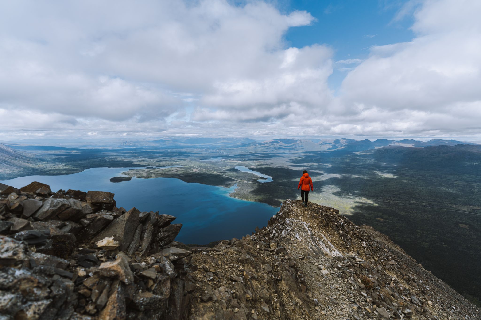
このパノラマからは、国立公園の主役であるクルアニ湖の雄大な眺めが広がります。森林限界のすぐ上に位置し、セントイライアス山脈の別の山脈を背景にした、広々とした遮るもののない景色を楽しめます。
0
0
来た道を辿るHainesの道から見えるKing's Throne Peakは、湖から1,250メートルの高さにそびえ立っています。上からは、Daltonの谷全体、Kluane湖、そしてSaint Elias山脈を眺めることができます。その眺めは、努力に見合うもので、強烈で壮観です。
0
0

This viewpoint with benches and a fire pit marks the official end of the Rock Glacier Trail. Although the trail ends here, some continue climbing up the rock glacier along an undefined trail. Only attempt this if you have proper footwear, and are prepared for loose rocks and some scrambling. Otherwise, this is a great spot to stop, relax and take in the view before turning around.
1
0
This trailhead sits at the west end of Haines Road and has parking and access to Rock Glacier Trail. The trail starts along a raised boardwalk through a marsh, and then starts a climb along rockier terrain along a rock glacier. There are interpretive panels along the trail with information about the rock glacier and its surrounding area.
0
0

The Saint Elias Lake Trail takes you on a journey through stunning Yukon wilderness, winding through forest and rocky ridges before reaching the tranquil waters of Saint Elias Lake. Along the way, you’ll be surrounded by towering peaks, the crisp, clean air of the Yukon backcountry, and wildflowers during summer. It’s a challenging yet rewarding hike, each step upward brings broader views, culminating in a sweeping panorama at the lake that makes the effort truly worthwhile.
0
0
セント・イライアス湖は、セント・イライアス山脈の奥深くにひっそりと佇む高山の宝石です。その透き通った水は周囲の峰々を完璧に映し出し、息をのむような手つかずの風景を作り出しています。
0
0
The Alsek Valley is one of those rare places where the landscape feels untouched and endless. Framed by the towering peaks of the St. Elias Range, the valley stretches toward the horizon with braided rivers, glacier-fed lakes, and wide tundra plains that glow with color in summer. Hiking here means stepping into true wilderness, where silence fills the air and every turn reveals another sweeping view. It’s a place to slow down, breathe deeply, and feel the vastness of the Yukon all around you. The trail that winds through the valley extends for about 25 km one way, so you can hike as far as you like, just make sure to plan according to daylight and conditions. If you plan to camp overnight, a backcountry permit from Kluane National Park is required.
0
0
セントエリアス山脈でのの人気ルート
セントエリアス山脈でのの人気観光スポット

komootモバイルアプリでインスピレーションを得よう


さらに探索
他の地域の最高のハイキングを見てみましょう。
