セントエリアス山脈周辺のアトラクション&必見スポット - トップ15
セントエリアス山脈には必見のスポットがたくさんあります。ハイキング愛好家やサイクリング愛好家の方は、ぜひセントエリアス山脈を探索してこのエリアにある15
の隠れたスポットを訪れてみてください。このエリアの必見スポットを確認し、次の冒険に出かける計画を立てましょう。
最終更新日: 8月 31, 2026
Auriolトレイル
ハイライト (セグメント) • トレイル
翻訳者 Google •
役立つ情報 は

キングズ・スローン
ハイライト • 山頂
parks.canada.ca/pn-np/yt/kluane/activ/randonnee-hiking/kings-throne
翻訳者 Google •
役立つ情報 は
今すぐサインアップして、こんな場所を発見しよう
最高のシングルトラック、ピーク、その他のエキサイティングなアウトドアスポットのおすすめを受け取ろう。
キャスリーン湖(Mät’àtäna Män)
ハイライト • 湖
parks.canada.ca/pn-np/yt/kluane/visit/services/kathleen
翻訳を表示中
役立つ情報 は
クルアニ湖の眺め
ハイライト • 展望台
翻訳を表示中
役立つ情報 は

カスカウルシュ氷河
ハイライト • 自然記念物
翻訳を表示中
役立つ情報 は
アァチュ渓谷の眺め
ハイライト • 展望台
世界中のほとんどの氷河と同様に、「カスカウルシュ氷河」も過去数十年間で著しい後退を記録しています。これにより、2016年春にスリムズ川の流れの向きが変わりました。現在、氷河の融水の大部分は東に流れ、「カスカウルシュ川」に注ぎ、そこからアルセック川を経て太平洋へと注いでいます。これは、人為的な気候変動が大規模な河川の再編成に関与した最初の事例でした。
翻訳を表示中
役立つ情報 は
キングズ・スローン・トレイル
ハイライト (セグメント) • トレイル
parks.canada.ca/pn-np/yt/kluane/activ/randonnee-hiking/kings-throne
翻訳者 Google •
役立つ情報 は
シトゥク湖トレイル
ハイライト (セグメント) • トレイル
役立つ情報 は

シープクリークトレイル
ハイライト • トレイル
森林限界のすぐ上まで続き、運が良ければダール羊を観察できます。
翻訳を表示中
役立つ情報 は

スプルースビートルトレイル
ハイライト (セグメント) • トレイル
翻訳者 Google •
役立つ情報 は
無料でサインアップして、さらに多くの観光スポットを発見しましょう セントエリアス山脈での。
すでにアカウントをお持ちですか?
無料アカウントで今日から始めよう
次の冒険が待っています。



コミュニティからのヒント

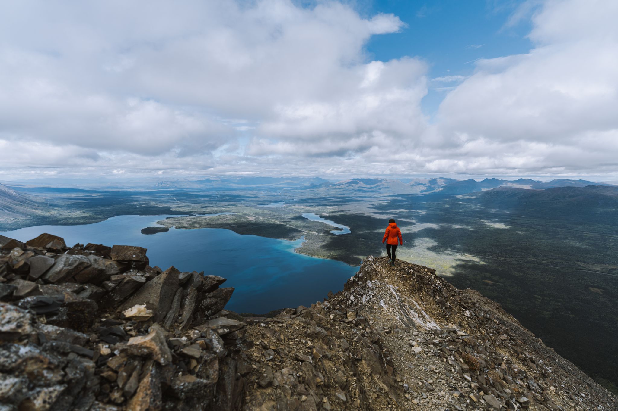
このパノラマからは、国立公園の主役であるクルアニ湖の雄大な眺めが広がります。森林限界のすぐ上に位置し、セントイライアス山脈の別の山脈を背景にした、広々とした遮るもののない景色を楽しめます。
0
0

You could spend hours strolling along the shore of this large, beautiful lake, with new views opening up time and time again. Unfortunately, the adjacent trails were closed due to bears.
0
0
A wonderful trail through stunning scenery with views of the mountains and, at the end, Haines Junction. Bear territory!
0
0


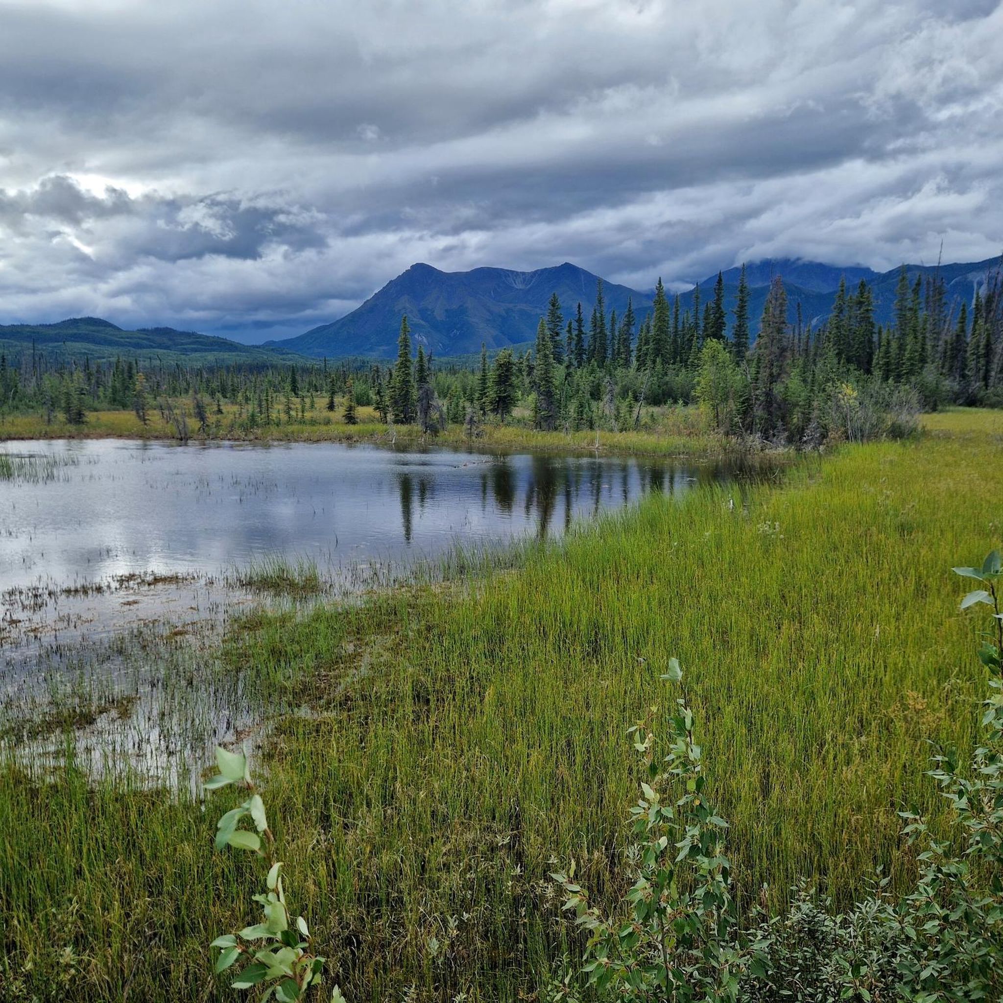
The trailhead of the Auriol Trail is just off the Haines Highway, 7 km south of Haines Junction. The well-trodden path leads through a mixed boreal coniferous forest (cold-temperate forest) with a slight incline. Further up, the circular hike goes through wetlands with small lakes to the sub-alpine zone, where you have a wonderful view of the mountains of the 'Auriol Range', especially the peaks of 'Mount Martha Black'. The trail is marked - with kilometer information. In spring you have to reckon with deep snow conditions on the path when descending on the west side. https://parks.canada.ca/pn-np/yt/kluane/activ/randonnee-hiking/auriol
2
0
The Spruce Beetle Trail trailhead is just off the Alaska Highway, 11 miles northwest of Haines Junction. The trail is an educational trail about the life cycle of the Spruce Beetle (bark beetle on spruce trees in Canada) and its impact on Yukon forests. https://parks.canada.ca/pn-np/yt/kluane/activ/randonnee-hiking/dendoctrone-epinette-spruce-beetle
1
0
「カスカウルシュ氷河」は、「セント・イライアス山脈」にある巨大な氷河です。39,000平方キロメートル以上の面積を覆い、幅6キロメートル以上の2つの合流する氷河舌から成ります。氷河の水は、スリムズ川とカスカウルシュ川の2つの大きな川の谷に流れ込んでいます。しかし、氷河の後退により、2016年春以降、スリムズ川に流れ込む雪解け水はわずかな量になっています。
2
0
セントエリアス山脈でのの人気ルート
セントエリアス山脈でのの人気観光スポット

komootモバイルアプリでインスピレーションを得よう


さらに探索
まだ探しているハイライトが見つかりませんか?他の地域のトップアトラクションのガイドを見てみましょう:
