フォルトゥナーゴのおすすめウォーキング&ハイキングルート
4.3
(695)
2,338
ハイカー
12
ハイキング
フォルトゥナーゴ周辺でのハイキングは、景色を満喫するのに最適な手段のひとつですが、適切なハイキングルートを見つけることは簡単ではありません。 フォルトゥナーゴ周辺の人気ハイキング&ウォーキングコースを参考にすれば、行きたいルートをすぐに見つけられます。
最終更新日: 11月 7, 2026
1
ハイカー
6.85km
02:16
320m
320m
4.0
(2)
7
ハイカー
12.9km
03:51
380m
390m
中程度のハイキング. ある程度のフィットネスレベルが必要です。 歩きやすい道です。

4.8
(4)
13
ハイカー
4.11km
01:10
90m
90m
初級者向けハイキング. 歩きやすい道です。
5.0
(2)
7
ハイカー
15.2km
04:39
520m
520m
中程度のハイキング. ある程度のフィットネスレベルが必要です。 歩きやすい道です。
3
ハイカー
9.48km
02:41
210m
210m
中程度のハイキング. ある程度のフィットネスレベルが必要です。 歩きやすい道です。
さらに多くのルートや他のユーザーのおすすめ情報を確認できます。
すでにアカウントをお持ちですか?
おすすめのツアーは他のkomootユーザーが実際に経験した何千ものアクティビティに基づいています。
無料アカウントで今日から始めよう
次の冒険が待っています。

コミュニティからのヒント

a pleasant ride with a destination of great interest: the Straw House, a farm to try, built in a building built by the owners with a wooden structure and straw walls. A welcoming environment and an offer of quality food.
0
0
Immediately downstream of the path, mounds of soil dug up by badgers and foxes indicate the presence of dens. They are articulated with various entrances and exits, to ensure their safety.
0
0

Easy and very panoramic itinerary. It must be done dry
1
0

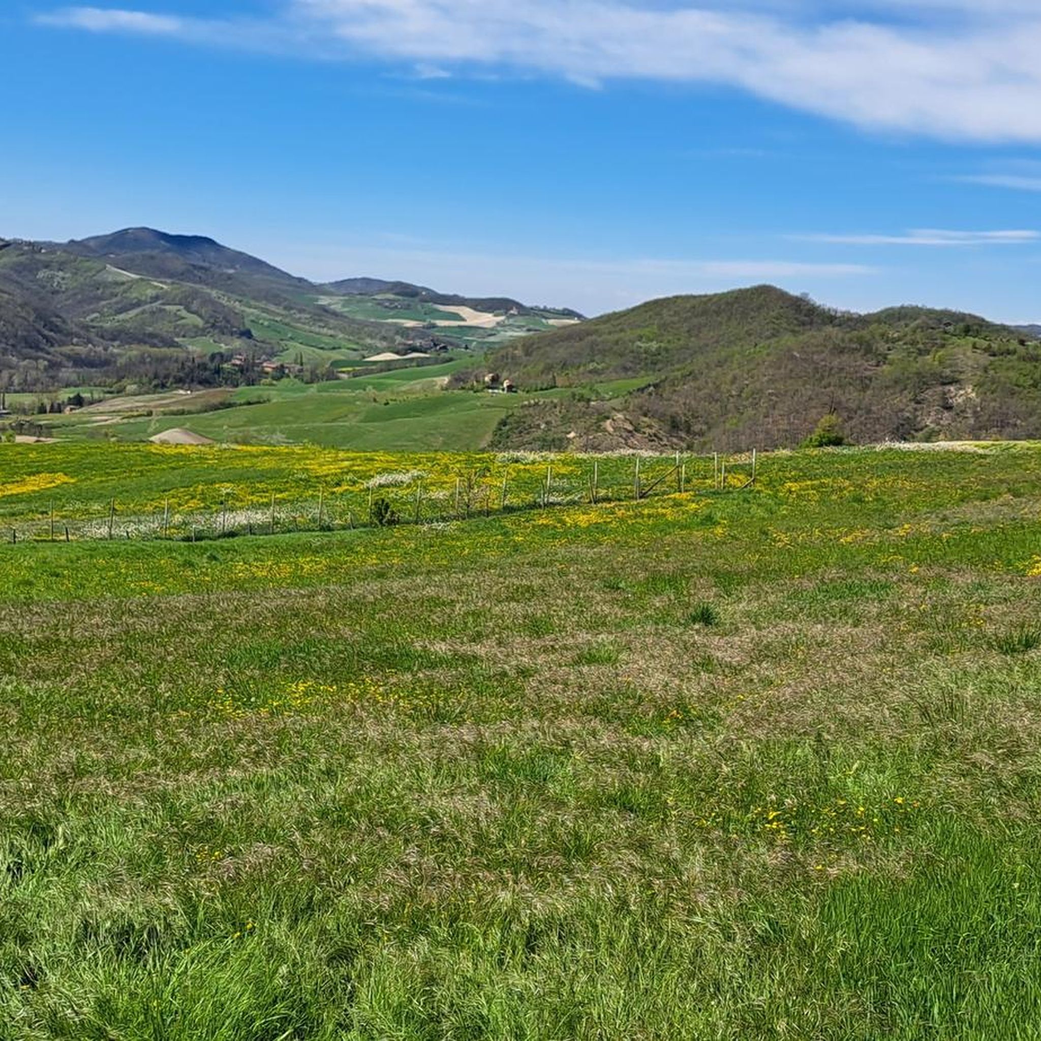
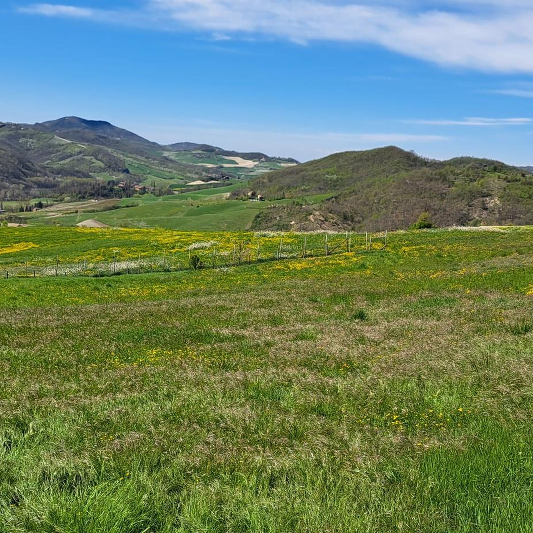
A hilly road perfect for gravel or MTB that runs on the crest of the hills, offering a magnificent view over them.
5
0
The itinerary runs along the undulating reliefs of the hilly area north of Borgoratto Mormorolo, almost entirely affected by agricultural cultures. There is no wood cover, so it is advisable to avoid the hottest months of the season. The route is also suitable for cycling.
0
0
Path on the crest of the hill called 'Strada di Costa Pelata'
2
0

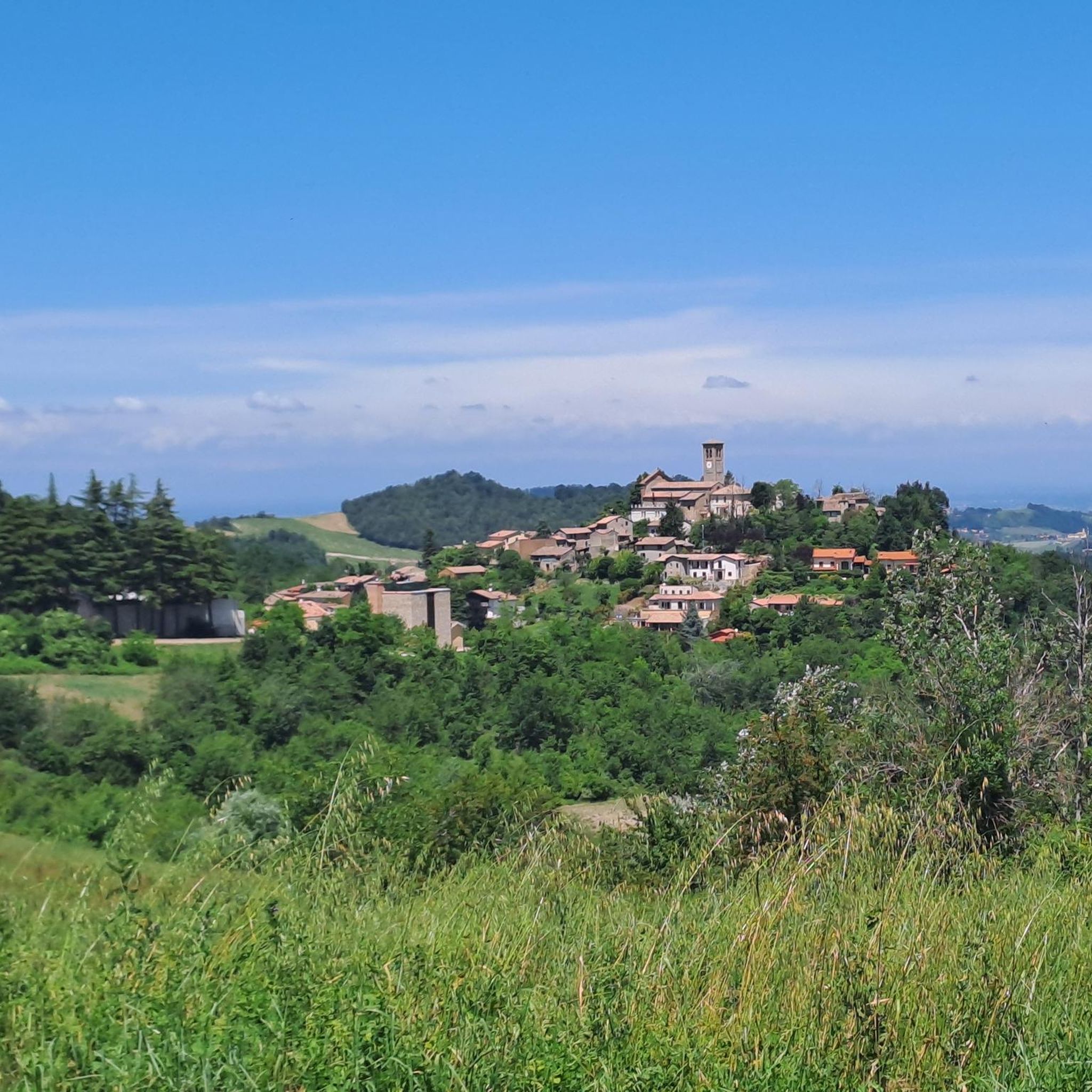
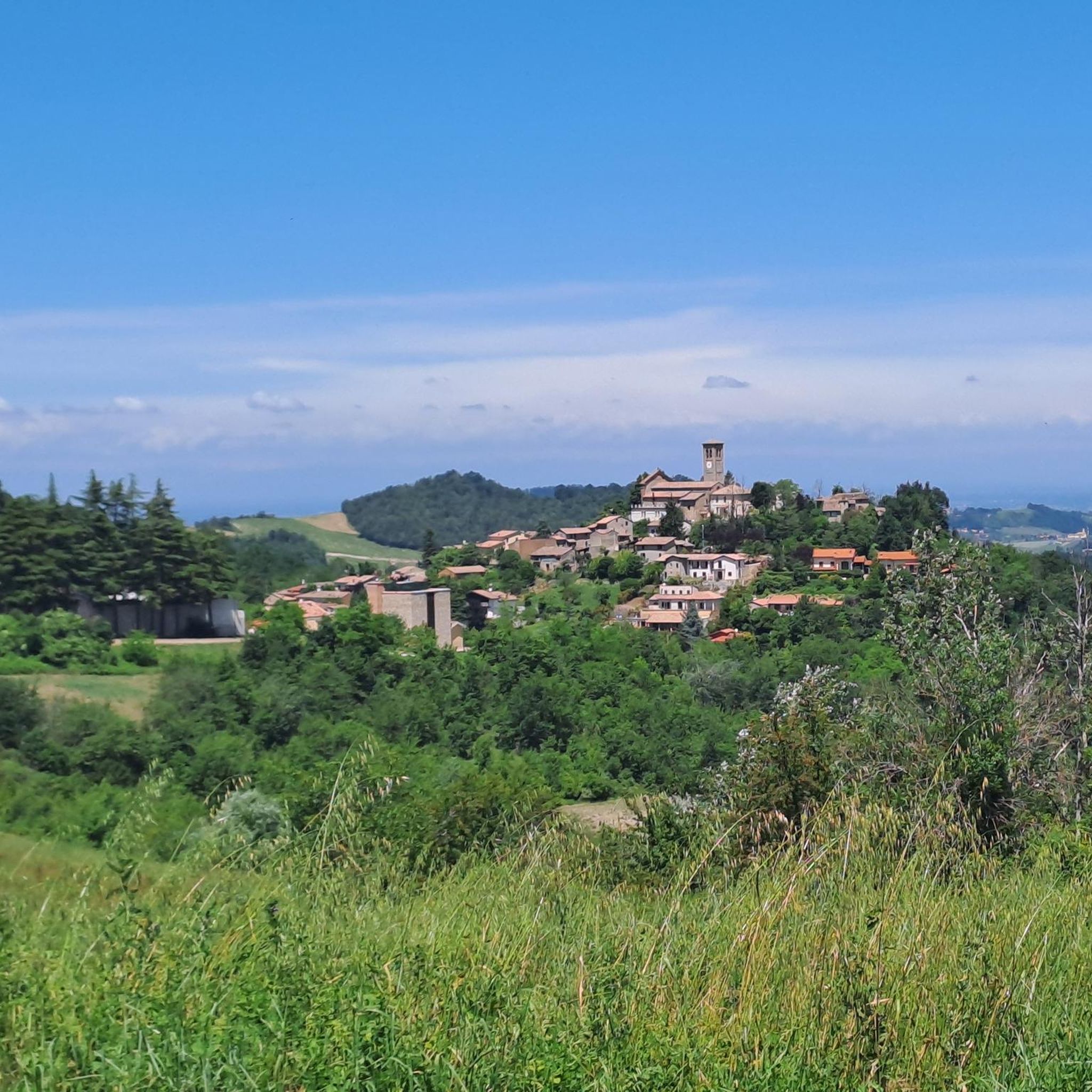
Characteristic village in the Oltrepò hills, it is also worth a visit on foot.
0
0

In the ranking of the Villages of Italy with full merit
0
0
フォルトゥナーゴでのの人気観光スポット

komootモバイルアプリでインスピレーションを得よう


さらに探索
他の地域の最高のハイキングを見てみましょう。
