チロル-ティロロのおすすめウォーキング&ハイキングルート
4.6
(11382)
49,937
ハイカー
124
ハイキング
チロル-ティロロ周辺でのハイキングは、景色を満喫するのに最適な手段のひとつですが、適切なハイキングルートを見つけることは簡単ではありません。 チロル-ティロロ周辺の人気ハイキング&ウォーキングコースを参考にすれば、行きたいルートをすぐに見つけられます。
最終更新日: 10月 24, 2026
4.7
(308)
1,556
ハイカー
7.99km
03:47
860m
860m
中程度のハイキング. ある程度のフィットネスレベルが必要です。 歩きやすい道です。

4.8
(176)
778
ハイカー
15.8km
07:45
1,380m
1,370m
難しいハイキング. 標準以上のフィットネスレベルが必要です。 安定して歩行できる技術、丈夫な靴、高標高地での登山経験が必要です。
4.5
(180)
812
ハイカー
8.90km
04:33
840m
840m
中程度のハイキング. ある程度のフィットネスレベルが必要です。 ほとんどが歩ける道です。足元への注意が必要です。
さらに多くのルートや他のユーザーのおすすめ情報を確認できます。
すでにアカウントをお持ちですか?
おすすめのツアーは他のkomootユーザーが実際に経験した何千ものアクティビティに基づいています。


コミュニティからのヒント


It's always worth exploring this area! Have fun!
0
1

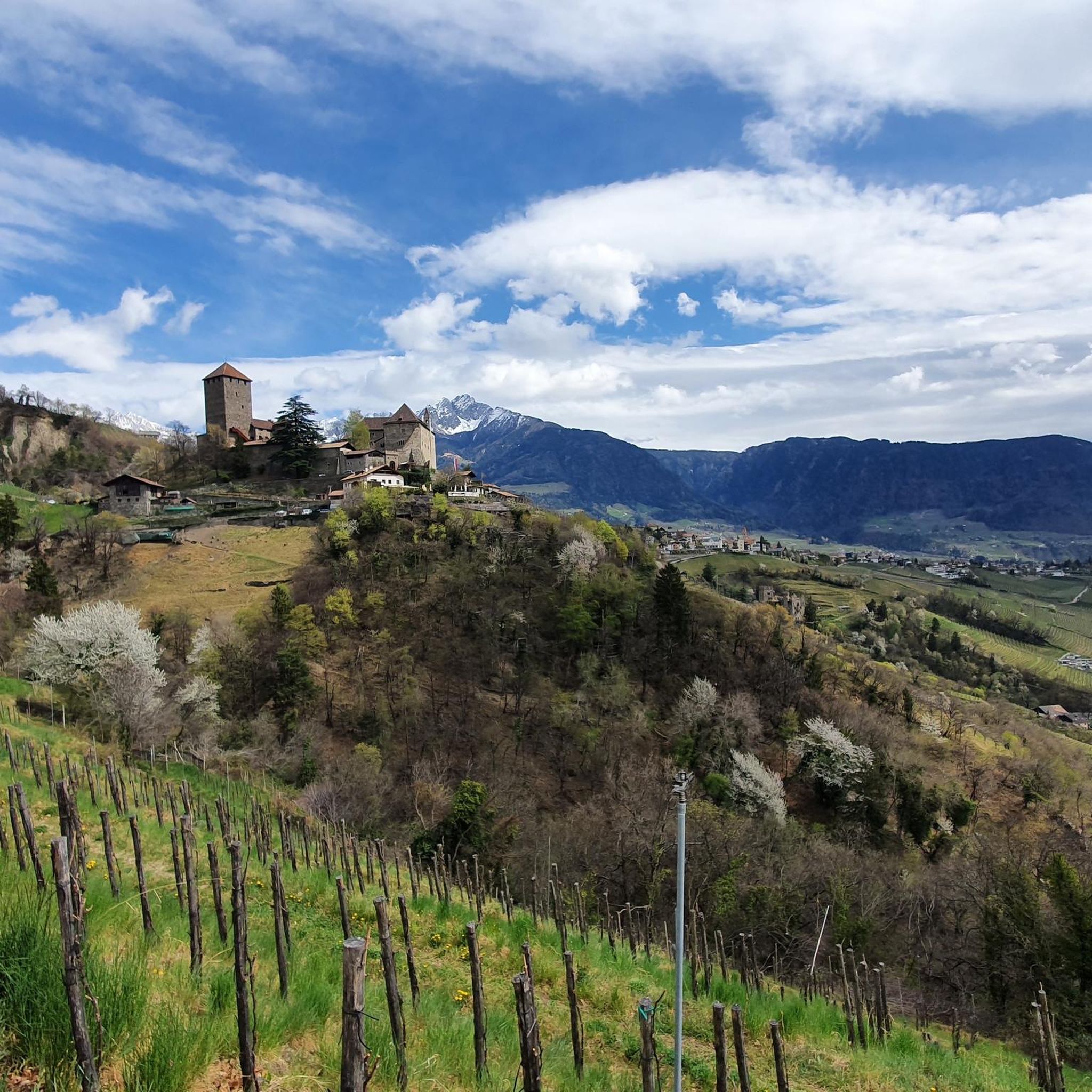
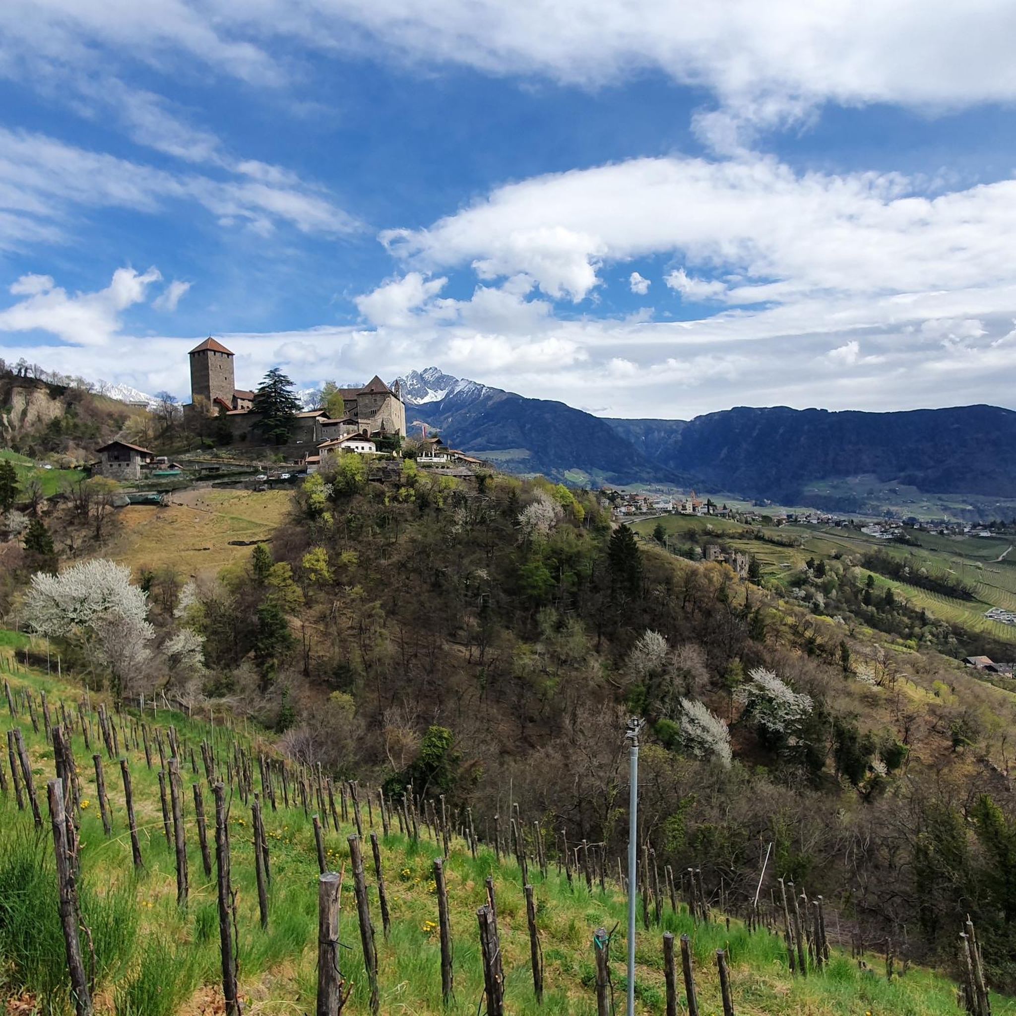
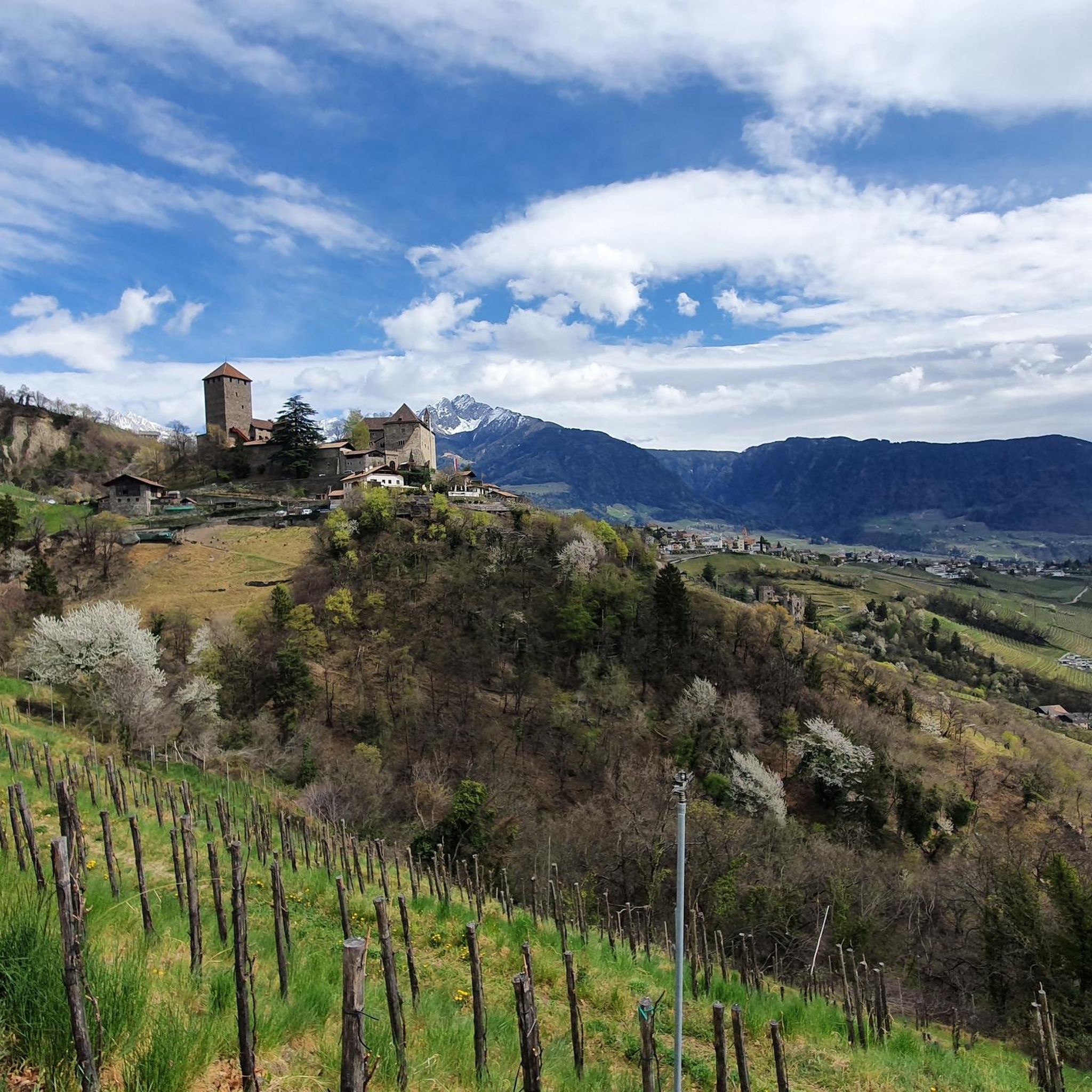
チロル村を見下ろすパノラマプラットフォーム Steinegg旅館の下にあるHochmuthには、メラーノ、エtsch渓谷、そして周囲の山々の広大な景色を提供する展望台があります。プラットフォームには2台の望遠鏡があり、見える山々やMuthöfeの急斜面の畑の以前の管理に関する情報を提供しています。 プラットフォームは、様式化された運搬用バスケットを表しています。この構造により、Muthöfeの急斜面の畑での困難で歴史的な作業に注意が向けられます。そこでは、ロープウィンチを使用して、土や肥料が入ったバスケットが畑を上に引き上げられ、再び耕作可能になりました。
5
0

Now in June there were even ice floes floating here - a really beautiful mountain lake with crystal clear water. The name "Pfitscher Lacke" is probably of pre-Romanesque origin (in German: it's hard to explain 😉).
1
0

A beautiful alpine lake near the Oberkaseralm. The hiking trail passes right next to it.
2
0


Wonderful view!!! Once at the top you can hike towards the Taufenscharte or back to the Mutkopfalm. From the Taufenscharte you can walk (if you have enough time) to the Spronser lakes.
5
2

Narrow. Not for people with a fear of heights Great view.
8
0

komootモバイルアプリでインスピレーションを得よう


さらに探索
他の地域の最高のハイキングを見てみましょう。
