ロデナスのおすすめウォーキング&ハイキングルート
4.4
(634)
2,425
ハイカー
121
ハイキング
ロデナス 周辺でおすすめのハイキングやウォーキングを楽しんでいただけるように、このエリアの小径やルートを集めたkomootコレクション全体を見直しました。 以下で各ルートの詳細をご覧になり、ロデナス周辺の大自然を満喫する際の参考にしてください。
最終更新日: 10月 11, 2026
4.3
(34)
72
ハイカー
15.0km
03:46
10m
10m
中程度のハイキング. ある程度のフィットネスレベルが必要です。 進みやすいルートです。あらゆるスキルレベルに適しています。
4.3
(30)
66
ハイカー
14.5km
03:38
10m
10m
中程度のハイキング. ある程度のフィットネスレベルが必要です。 進みやすいルートです。あらゆるスキルレベルに適しています。

4.2
(17)
89
ハイカー
5.06km
01:16
0m
0m
初級者向けハイキング. あらゆるフィットネスレベルに適しています。 進みやすいルートです。あらゆるスキルレベルに適しています。
4.6
(5)
25
ハイカー
中程度のハイキング. ある程度のフィットネスレベルが必要です。 進みやすいルートです。あらゆるスキルレベルに適しています。
4.7
(3)
8
ハイカー
5.98km
01:30
0m
初級者向けハイキング. あらゆるフィットネスレベルに適しています。 進みやすいルートです。あらゆるスキルレベルに適しています。
さらに多くのルートや他のユーザーのおすすめ情報を確認できます。
すでにアカウントをお持ちですか?
おすすめのツアーは他のkomootユーザーが実際に経験した何千ものアクティビティに基づいています。
無料アカウントで今日から始めよう
次の冒険が待っています。
コミュニティからのヒント

リックエルスビュラー・クーグの建設は1979年に始まり、1981年に落成しました。このクーグは、1615年12月1日に発生した大洪水で沈んだリックエルスビュル村にちなんで名付けられました。その遺跡は、ヴィーディングハルター・ノイエン・クーグとリックエルスビュラー・クーグの間の堤防の下にあります。1982年にこのクーグは自然保護区に指定され、それまでの保護区「シルト島東部のワッデン海鳥類保護区」に取って代わりました。 1997年12月10日、シュレースヴィヒ=ホルシュタイン州政府はインフォメーションパビリオンを開設しました。ここでは、ドイツ語とデンマーク語で、見られる鳥の種類について情報を提供しています。
0
0

ダムへの立ち入りは固く禁じられており、鉄道交通への重大な干渉として刑事罰の対象となります。このルートは、一部熱画像カメラで監視されています。
0
0

Northernmost point of mainland Germany It's not spectacular, but if you're cycling the North Sea Cycle Route, it's a must-see. Seeing this spot is a must 😉. There's a shelter in the parking lot for shelter in case of rain. There's also information about the dike construction and the Wadden Sea.
2
0

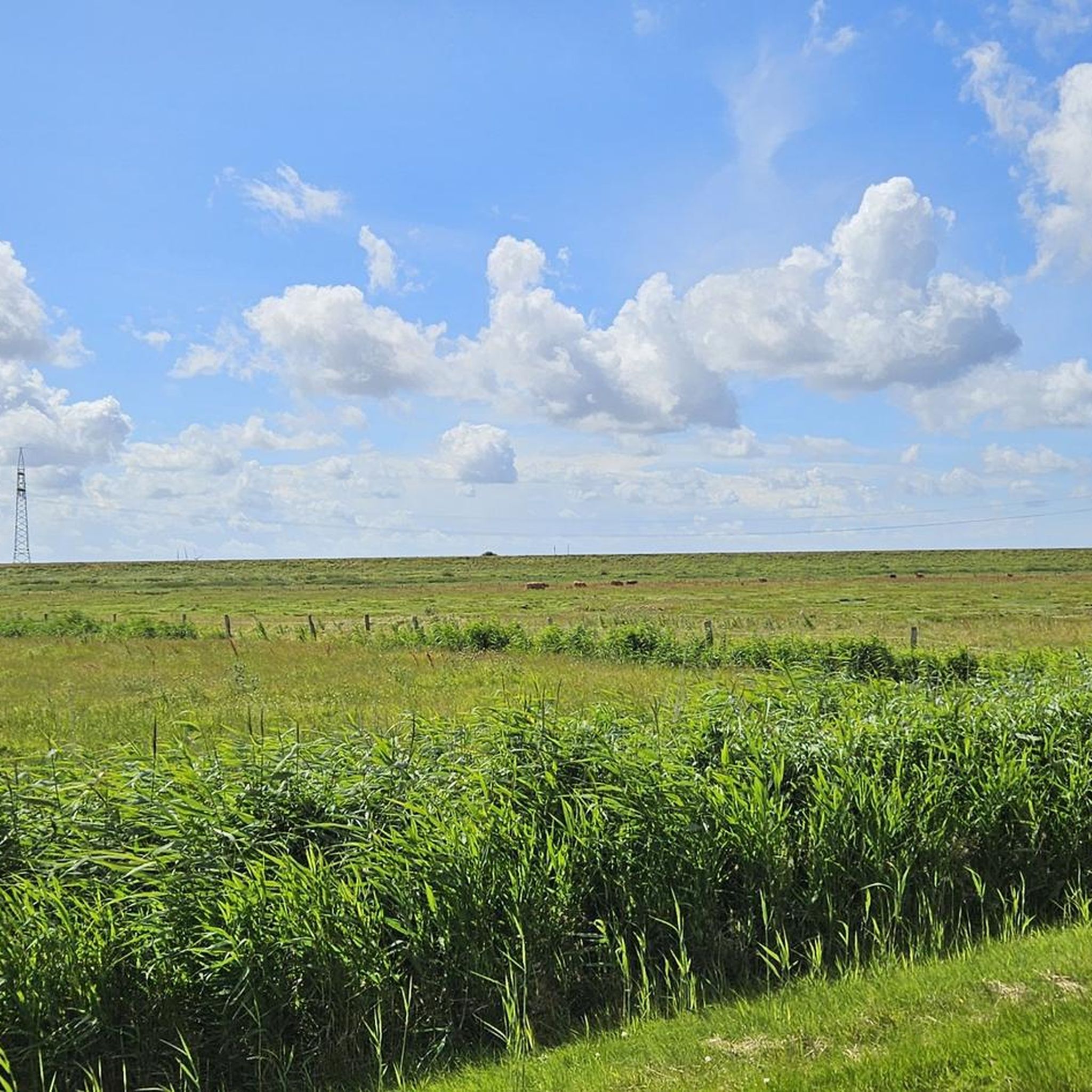
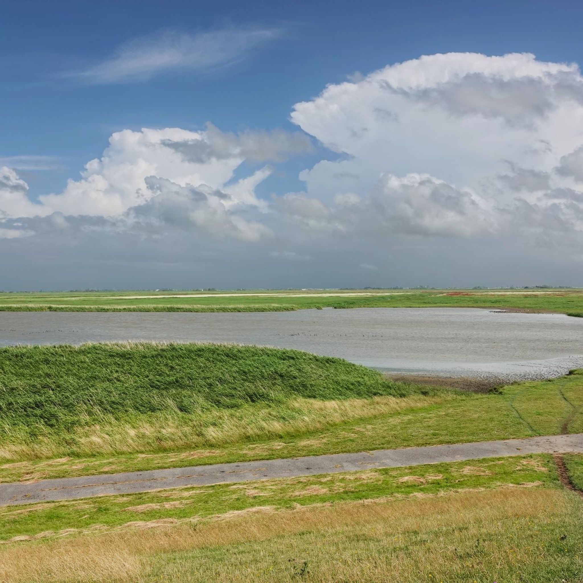
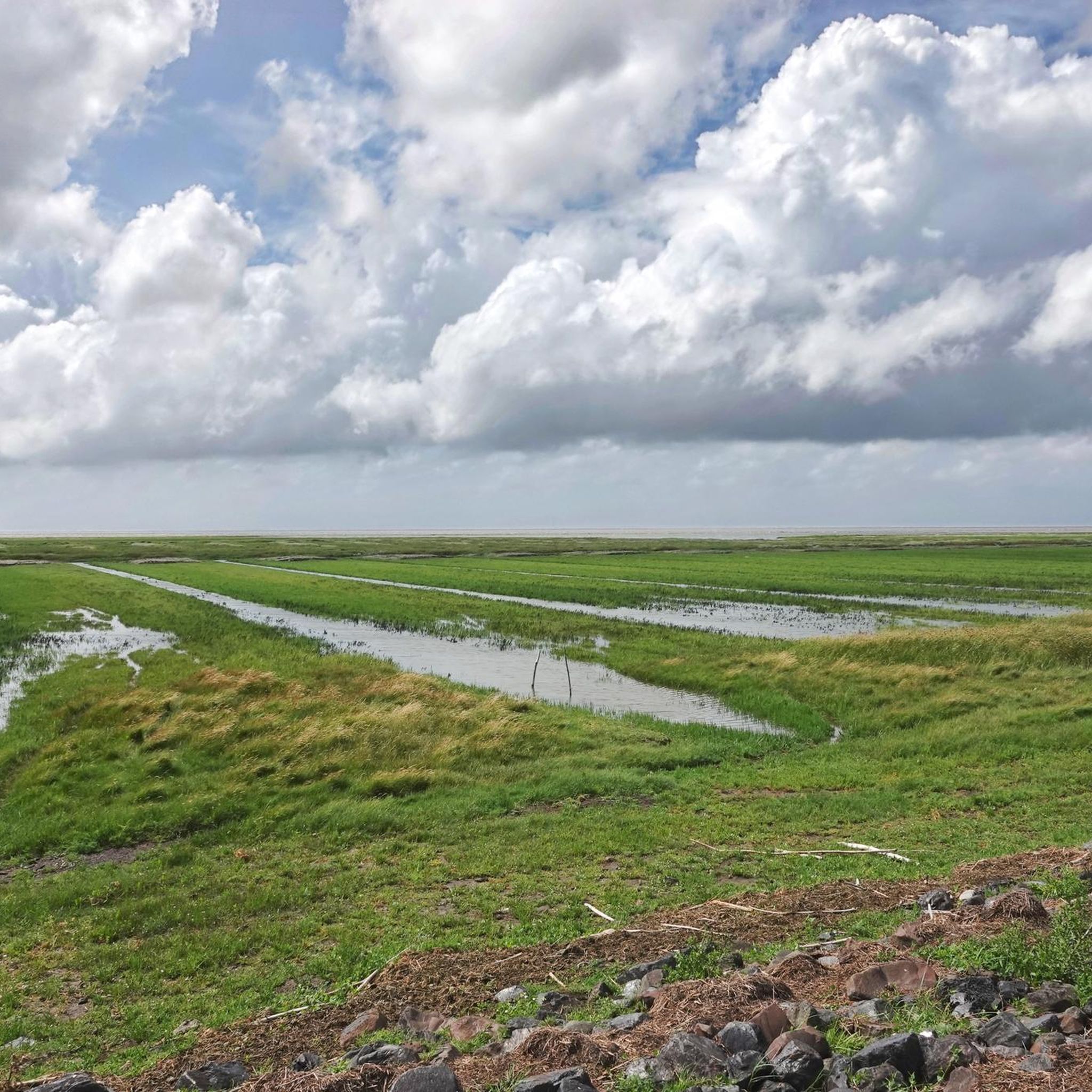
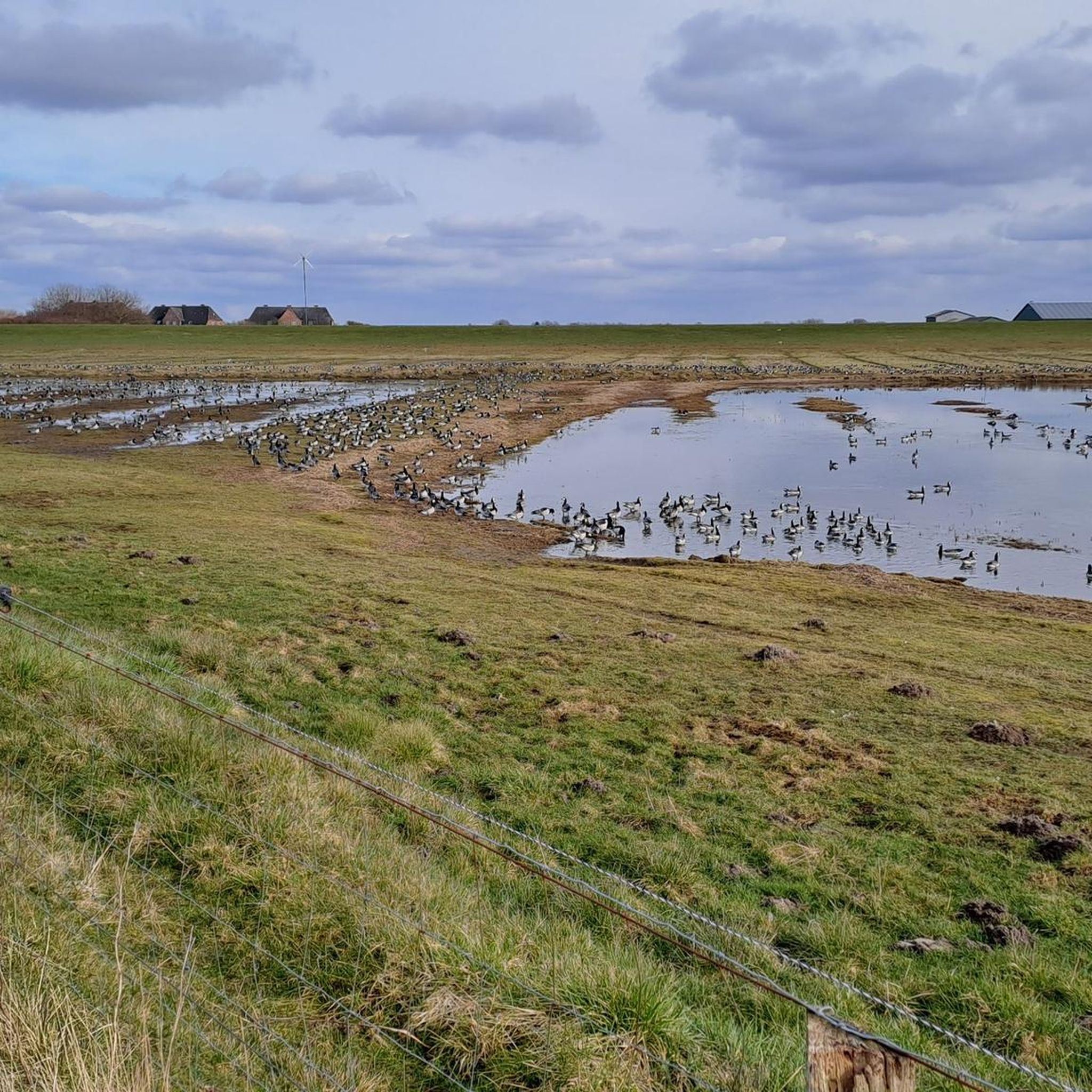
The Rickelsbüller Koog is a nature reserve covering approximately 534 hectares in the North Frisian district – the northwesternmost point of mainland Germany lies there, directly on the border dam near Rodenäs-Markhäuser. Since its embankment in 1981 and official designation as a protected area in 1982, it offers a mosaic of wet meadows, reed beds, and inland waters that developed from the former mudflats and salt marshes. For birdwatchers, the Koog is a true paradise: it is one of the most important resting and breeding areas along the Schleswig-Holstein North Sea coast. Species such as pink-footed goose, barnacle goose, redshank, black-tailed godwit, dunlin, knot, and many more rest and breed here in large numbers. Particularly impressive are the now regular sightings of white-tailed eagles – a testament to the ecological importance of the area. The landscape is crisscrossed by easily accessible dikes and observation points, including an observation hut. Ideal for nature lovers: binoculars are a must to experience the vibrant birdlife in action. The circular trail – for example, part of the "WWF Tour – Boundless Birdlife" – runs approximately 13 km through the area, offering extensive experiences of the open landscape and the opportunity to experience the northernmost point of the mainland. The Koog is accessible via Rodenäs: By bike or car, you can reach a free parking area directly next to the dike via the border road. From there, paths lead into the protected area – the clear landscape, the rich birdlife, and the peacefully flowing border make the destination a special natural location.
2
0
The northernmost point of the German mainland is located in the Rickelsbüller Koog, near Rodenäs in the district of Nordfriesland, Schleswig-Holstein. It marks Germany's outermost land border on the North Sea. Access is via the Norddeich–Sieltoft border crossing, which also serves as a reference point for this extreme point. This is not the absolute northernmost point in Germany—that position is occupied by the Ellenbogen peninsula on Sylt, a peninsula north of List that belongs to the island.
2
0

the landscape with the various flying animals
2
0
Looking over the dike, you can see the Hindenburg Dam to the left and, from time to time, a train passing by. Ahead, the east coast of Sylt with its lighthouse and cliffs. In front, the Wadden Sea is a magnificent sight.
3
0

Nice place on the dike for sunset fans.
0
0
ロデナスでのの人気観光スポット

komootモバイルアプリでインスピレーションを得よう


さらに探索
他の地域の最高のハイキングを見てみましょう。
