コンピアーノ周辺のアトラクション&必見スポット - トップ20
コンピアーノには必見のスポットがたくさんあります。ハイキング愛好家やサイクリング愛好家の方は、ぜひコンピアーノを探索してこのエリアにある20
の隠れたスポットを訪れてみてください。このエリアの必見スポットを確認し、次の冒険に出かける計画を立てましょう。
最終更新日: 8月 30, 2026
コッレ・ディ・チェントクローチ(1055m)
ハイライト • 山道
Regular ascent very exposed to the sun but …
翻訳者 Google •
役立つ情報 は

モンテ・ラゴラ山の山小屋
ハイライト • 山小屋
翻訳者 Google •
役立つ情報 は

今すぐサインアップして、こんな場所を発見しよう
最高のシングルトラック、ピーク、その他のエキサイティングなアウトドアスポットのおすすめを受け取ろう。
無料新規登録
パッソ・デッラ・カッペレッタ
ハイライト • 山道
翻訳者 Google •
役立つ情報 は

バルディ城
ハイライト • 城
翻訳者 Google •
役立つ情報 は

Vicolo delle Molini、ベドーニア
ハイライト • 歴史的な場所
翻訳者 Google •
役立つ情報 は
無料でサインアップして、さらに多くの観光スポットを発見しましょう コンピアーノでの。
無料新規登録
すでにアカウントをお持ちですか?
無料アカウントで今日から始めよう
次の冒険が待っています。
ログインまたは登録
コミュニティからのヒント

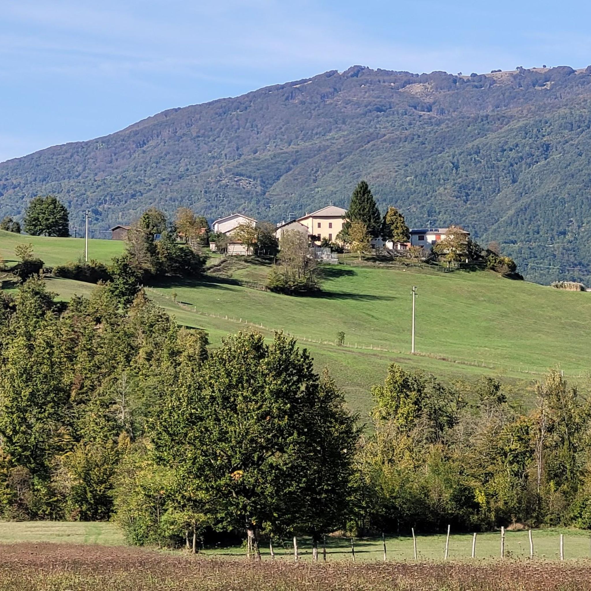
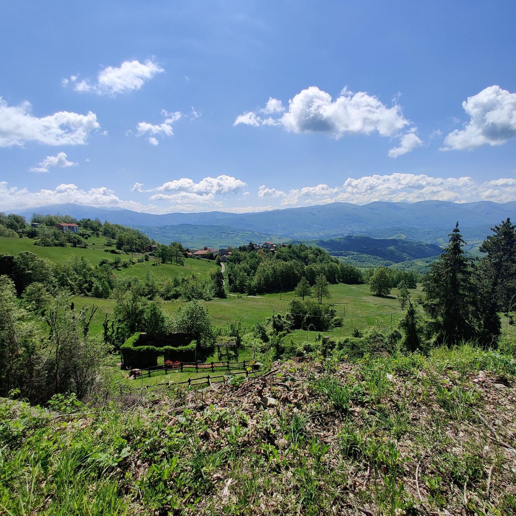
カペレッタ峠(標高1,085m)は、エミリア=ロマーニャ州(パルマ県/ピアチェンツァ県)とリグーリア州の境界にある、アペニン山脈の印象的な峠です。そびえ立つ風力発電のタービンと、モンテ・ゴッテロ山への近さで有名です。
0
0


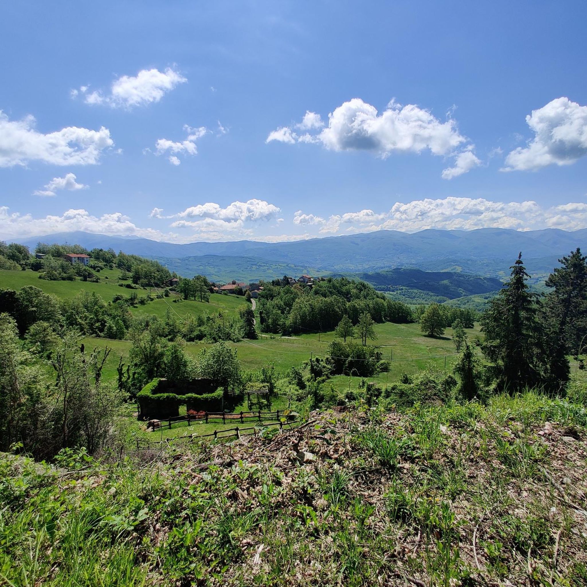
自然に囲まれた心地よい山小屋。私たちはコーヒー(保温ポットに入っていたが、まずまず)とポテトケーキのスライスをいただきました。美味しいですが、ポーションは「テイスティング用」です… 3ユーロでポテトケーキが2口ほどの薄切りではいけません… ポーションはさておき、この場所は立ち寄る価値があります。
0
0

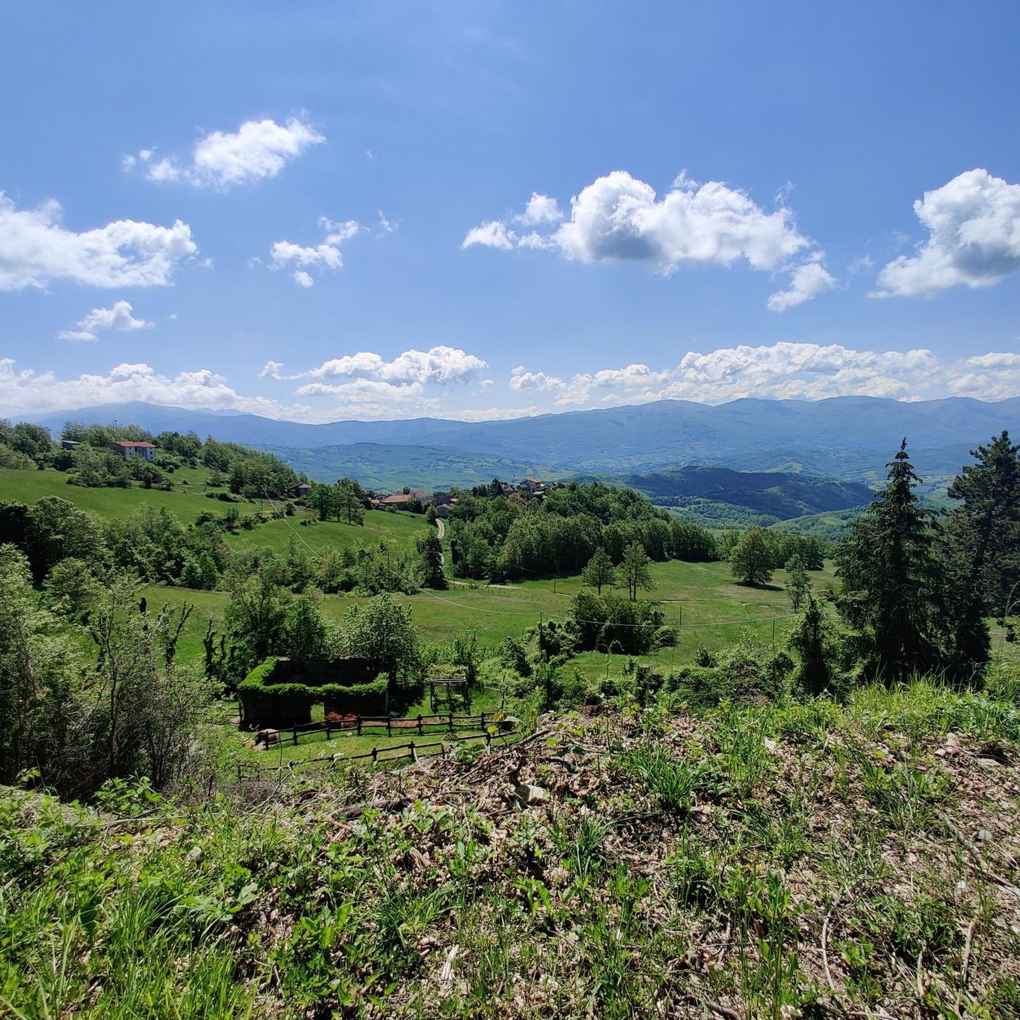
Arriving there is a surprising discovery, an open, restful, and expansive vision: the impression is of arriving in a separate territory, distinct from that in which the common human consortium takes place. There are some Prato Grande meadows scattered throughout the mountainous regions of Italy. Ours, here in the high Piacenza Apennines, extends at around 1,450 meters above sea level, on the right bank of the Nure stream, in the municipality of Ferriere; we are in the area of high-altitude prairies, within which it forms the ideal link between the expanses of Lake Moo and Prato Molle to the north, and that of Prato Bure, to the south. The northern peak of Mount Ragola (1,767 meters) dominates the southwest, imposing itself on hikers who approach it by climbing from the basin of Lake Bino, topped by characteristic rocky outcrops and graced, in July and August, by the fleshy flowers of the yellow water lily. On the eastern flank, Prato Grande is lapped by the Lardana stream, which here flows slowly, little more than a stream, before plunging into a charming waterfall where the plateau ends, near the Rocca dell'Aquila. Beyond Lardana extend the vast foothills of Mount Camulara, also known locally as Lazzarina. Soft underfoot in the summer, when dozens of cattle and Bardigiano horses graze, the meadow is covered in a steady, compact blanket of snow in the winter, which lasts until March, glowing pink on full moon nights. It is precisely on this splendid plateau that in 2006, the Pro Loco Ferriere, in an effort to enhance the area's tourism offerings, built the "Monte Ragola" mountain hut in collaboration with the Municipality. The idea stemmed from the awareness that the upper Nure Valley has always been a popular destination for hiking enthusiasts, as it is home to many of the most beautiful spots in the Piacenza Apennines. With this in mind, we built this mountain hut, which serves as a stopover and base for everyone, from experts to beginners, who wish to spend a day of sport and relaxation in our mountains. Since its inception, the refuge has hosted several groups of hikers who come to the mountain not only on foot but also by bicycle or on horseback, offering them a quiet and simple place to eat and rest before continuing their journey. Since the 2006/07 season, our tourism offering has not been limited to the summer months; our activities have never stopped in the winter either. Thanks to the management of a cross-country ski trail starting from the Zovallo Pass and the organization of various snowshoe excursions, many people have had the opportunity to experience our Apennines even in the particularly charming season of winter, all in complete safety. Source: Proloco Ferriere
0
0

The singular basaltic monolith beneath the Bardi castle is located at the beginning of the Bardi - Borgo Val di Taro stage of the Via degli Abati
0
0

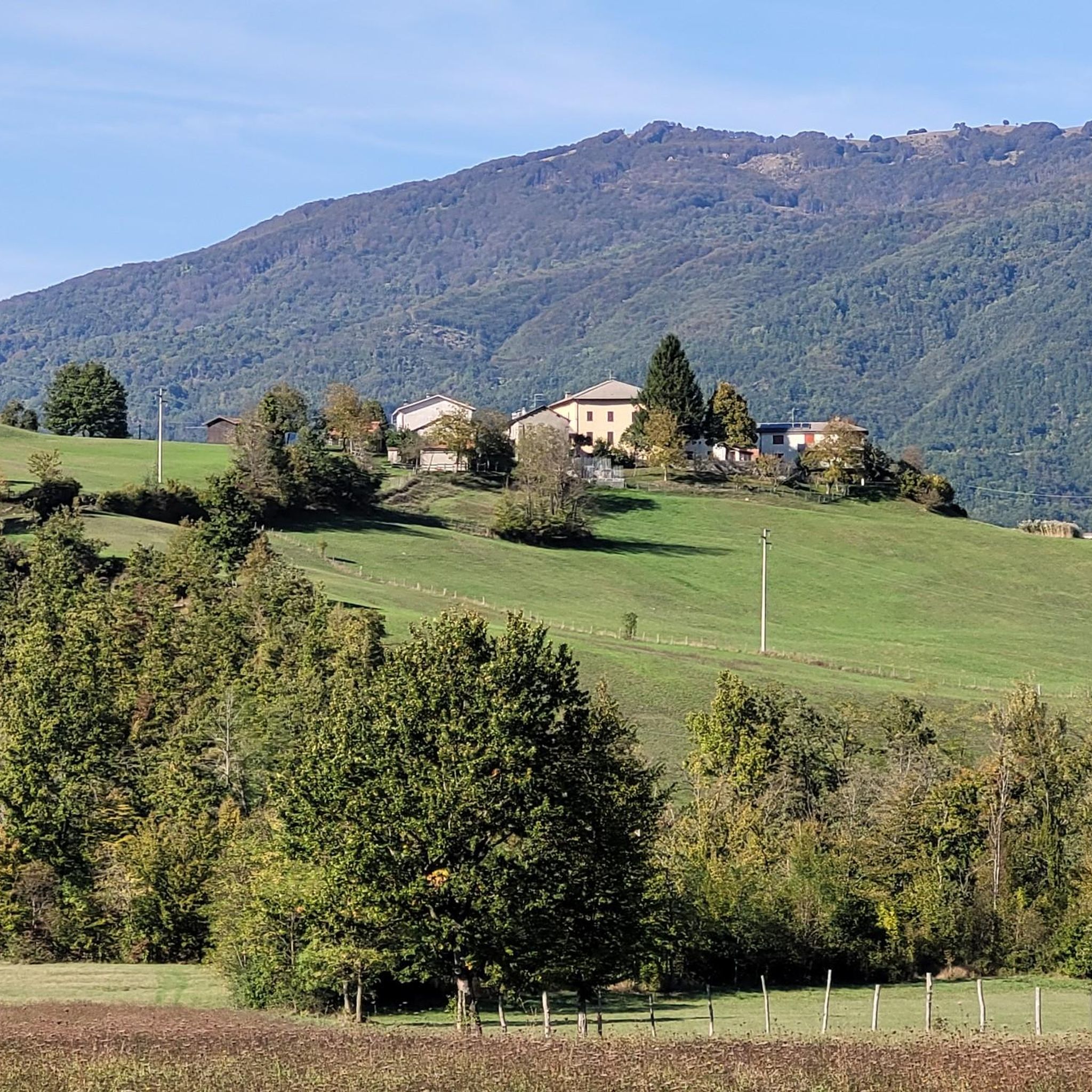
A pretty little village with its characteristic castle, a convenient stopover for those taking the Appennino Bike Tour.
0
0

possible excursions both on foot and by bike
0
0

Refuge open in summer with refreshment point, run by smart guys. Very useful for tackling all the various routes that start from Prato Grande.
1
1
コンピアーノでのの人気観光スポット

komootモバイルアプリでインスピレーションを得よう


さらに探索
まだ探しているハイライトが見つかりませんか?他の地域のトップアトラクションのガイドを見てみましょう:
