ラインフェルデン(バーデン)のおすすめツーリングルート
4.6
(645)
4,623
ライダー
178
ライド
ラインフェルデン(バーデン)周辺のサイクリングは、黒い森の南端と高ライン川の間に位置する多様なルートを提供します。この地域には、川の谷、なだらかな丘陵があり、ディンケルベルクの丘陵や黒い森の丘陵地帯へのアクセスも可能です。この地理的な位置により、ライン川沿いの平坦な川岸の道から、ディンケルベルクの丘陵でのより挑戦的な登りまで、変化に富んだ地形が楽しめます。景観は、ライン川、広大な森林、そして農耕地帯によって特徴づけられています。
ラインフェルデン(バーデン)周辺の最高のサイクリングルート
- 最も人気のあるサイクリングルートは、ラインフェルデン(バーデン)発の ヘルテン – ヘルテン・ラインフェルデン飛行場ループ です。これは、14.6マイル(23.5 km)のイージーなトレイルで、所要時間は1時間20分です。このルートからは周囲の景観を眺めることができます。
- 地元のサイクリストに人気のもう一つのルートは、ヴィーゼ川サイクリングロード – ベウゲン発ヴィーゼンダム遊歩道ループ です。これは、46.3 km(28.8マイル)の中程度の難易度のルートです。このルートはヴィーゼ川に沿っており、川と周囲の緑豊かな景観の眺めを楽しめます。
- 地元のサイクリストに愛されているのは、ラインフェルデン(バーデン)発の 旧ライン橋、ラインフェルデン – エルゴルツ木造屋根付き橋ループ です。これは、川沿いの地域を通り、旧ライン橋を通過する33.8 km(21.0マイル)のトレイルで、所要時間は約2時間です。
- ラインフェルデン(バーデン)周辺のサイクリングは、ライン川沿いのルート、ディンケルベルクの丘陵を抜けるルート、そして黒い森の丘陵地帯へと続くルートによって特徴づけられます。このネットワークは、イージーな川沿いのライドから、より要求の厳しい登りまで、様々なレベルのサイクリストに対応するオプションを提供します。
- ラインフェルデン(バーデン)のルートは、komootコミュニティから高く評価されており、500件以上のレビューで平均4.6つ星を獲得しています。4000人以上のサイクリストがkomootを利用して、ラインフェルデン(バーデン)の多様な地形を探検しています。
最終更新日: 8月 23, 2026
4.7
(20)
57
ライダー
34.0km
02:23
340m
340m
中程度のグラベルライド. ある程度のフィットネスレベルが必要です。 全般的に舗装された状態です。あらゆるスキルレベルに適しています。
4.6
(84)
309
ライダー
46.4km
02:46
290m
290m
中程度の自転車ライド. ある程度のフィットネスレベルが必要です。 全般的に舗装された状態です。あらゆるスキルレベルに適しています。

無料新規登録
4.5
(31)
218
ライダー
102km
07:13
1,620m
1,620m
難しい自転車ライド. 標準以上のフィットネスレベルが必要です。 全般的に舗装された状態です。あらゆるスキルレベルに適しています。
4.4
(68)
311
ライダー
33.8km
02:00
200m
200m
中程度の自転車ライド. ある程度のフィットネスレベルが必要です。 全般的に舗装された状態です。あらゆるスキルレベルに適しています。
4.7
(26)
227
ライダー
26.7km
01:34
110m
120m
初級者向けバイクライド. あらゆるフィットネスレベルに適しています。 全般的に舗装された状態です。あらゆるスキルレベルに適しています。
さらに多くのルートや他のユーザーのおすすめ情報を確認できます。
無料新規登録
すでにアカウントをお持ちですか?
おすすめのツアーは他のkomootユーザーが実際に経験した何千ものアクティビティに基づいています。
無料アカウントで今日から始めよう
次の冒険が待っています。
ログインまたは登録
ラインフェルデン(バーデン)周辺で人気
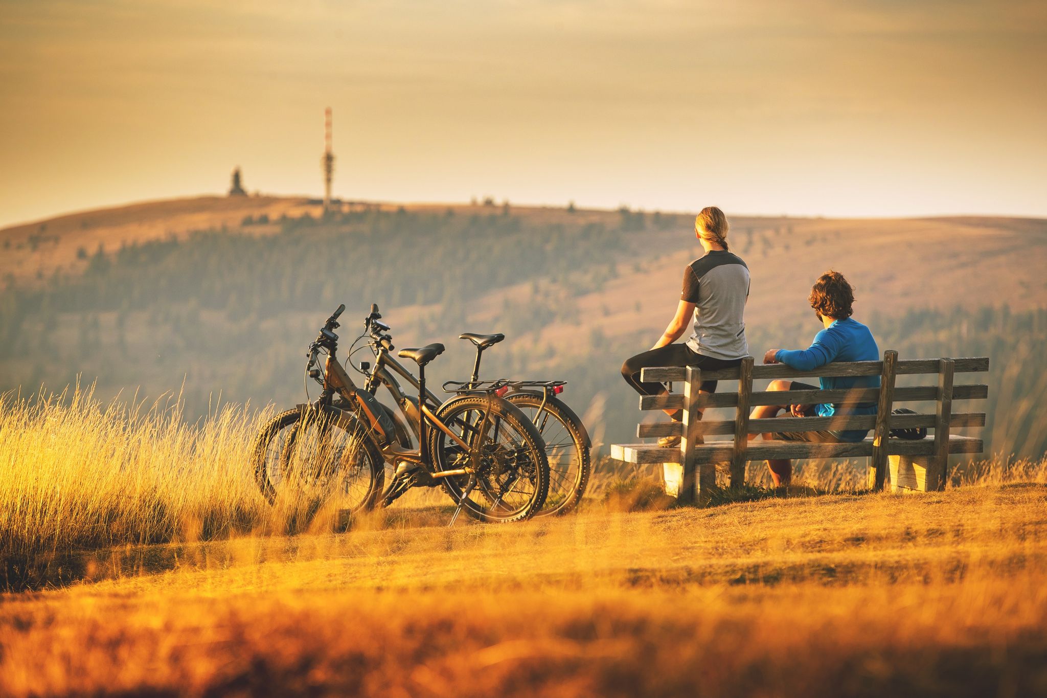
Sunny rides up to heights in the Black Forest
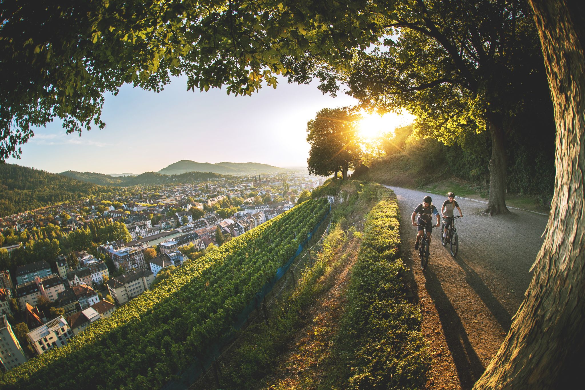
Black Forest gateau and how to burn it off again
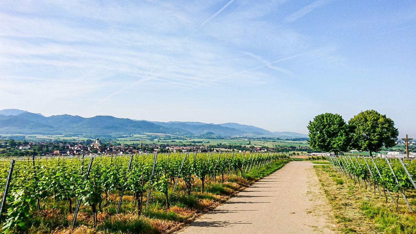
Südschwarzwald-Radweg – 5ステージの心地よい自然
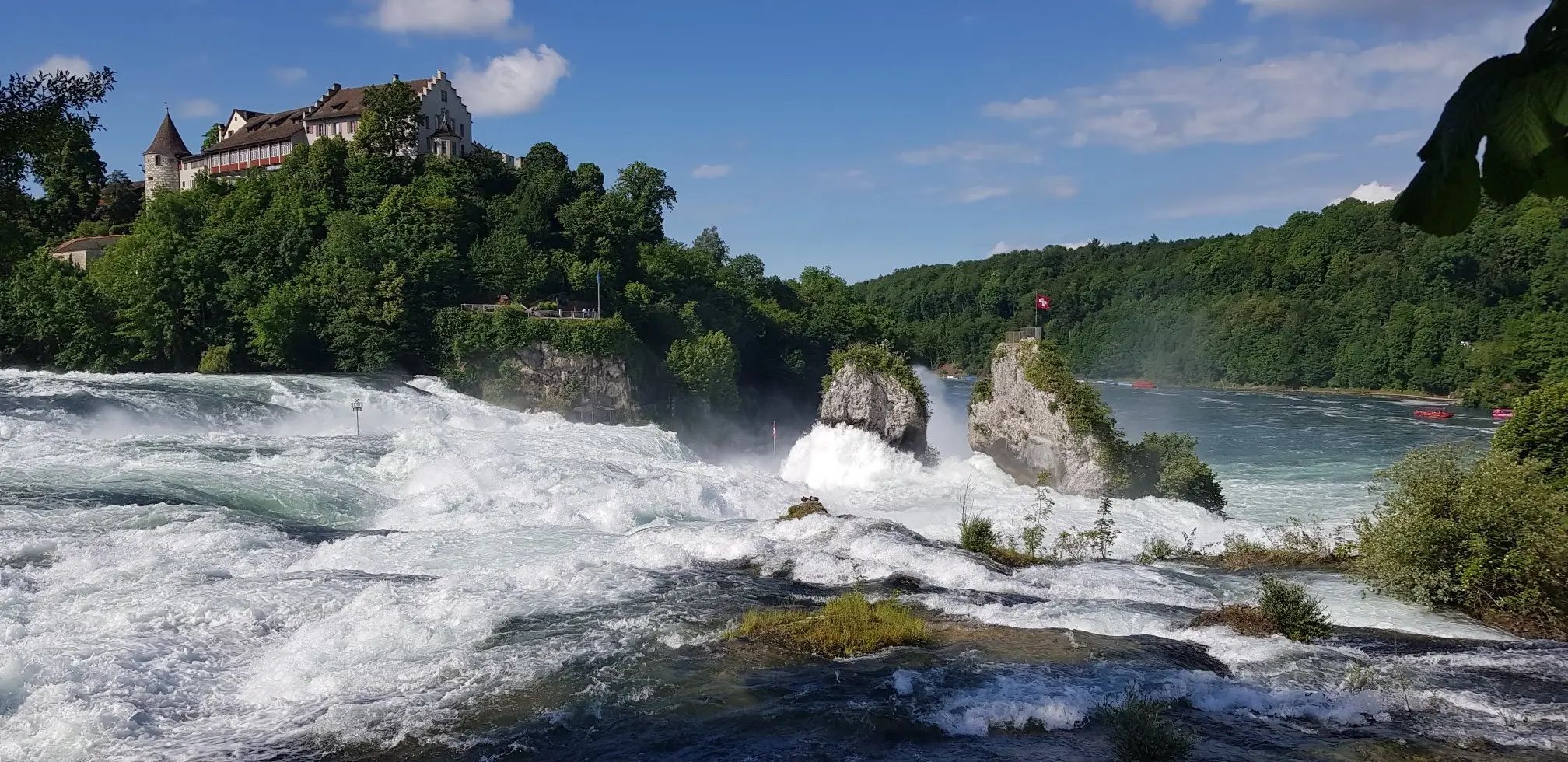
ドイツからスイスまでの森と川 – Hochrhein-Höhenweg
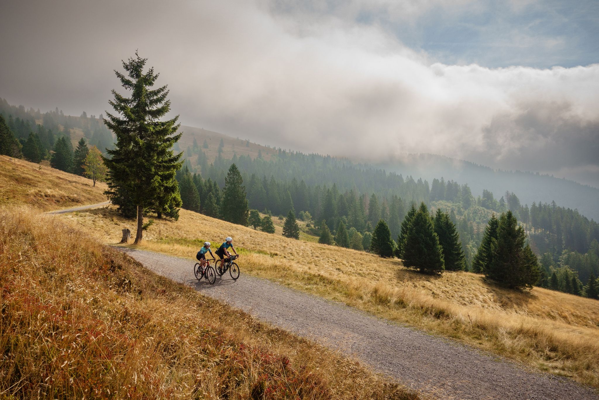
Nature, mountains and freedom – gravel and cycle Tours in the Black Forest
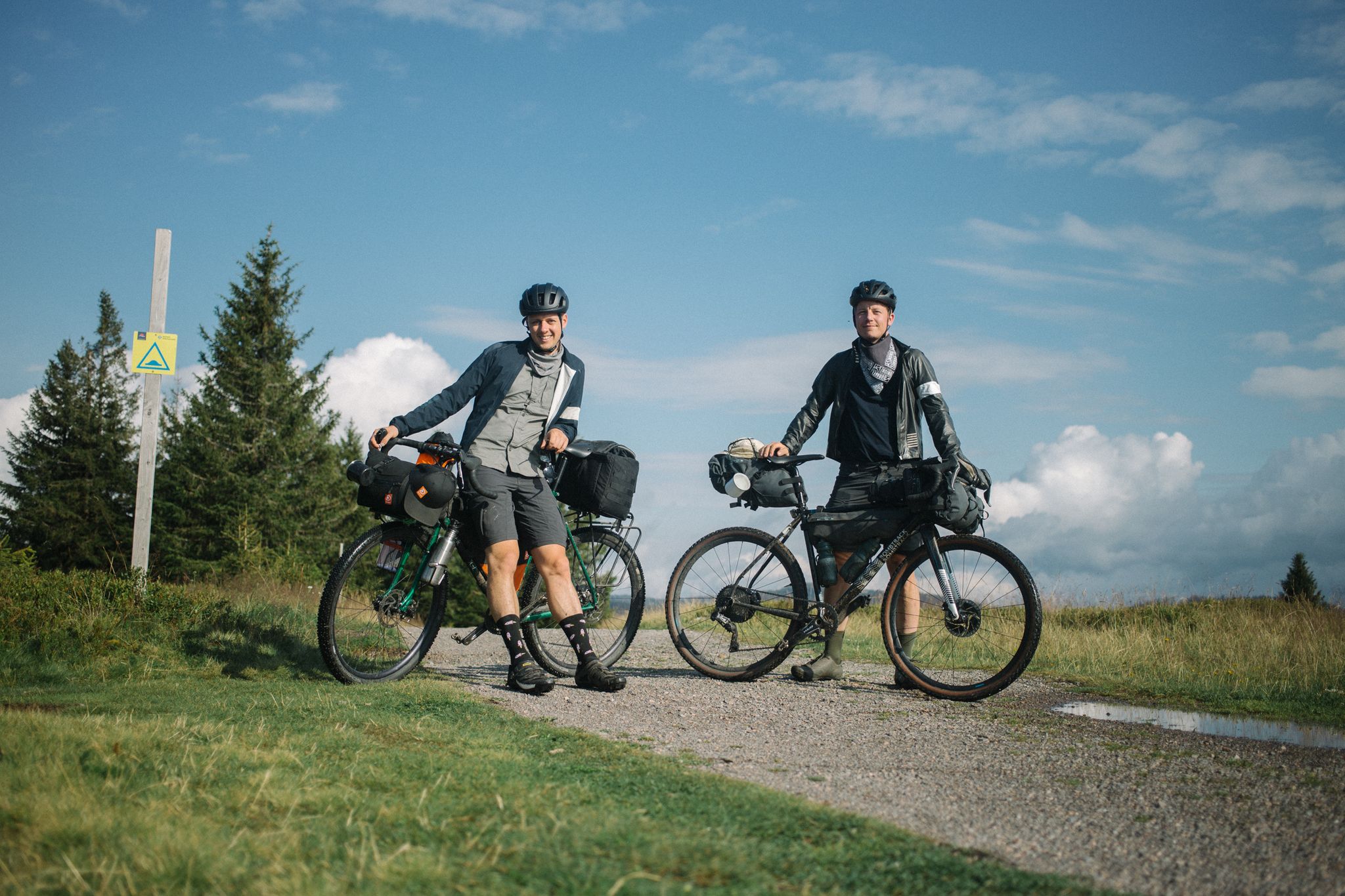
ブラック・フォレストとエルザスのバイクパッキング
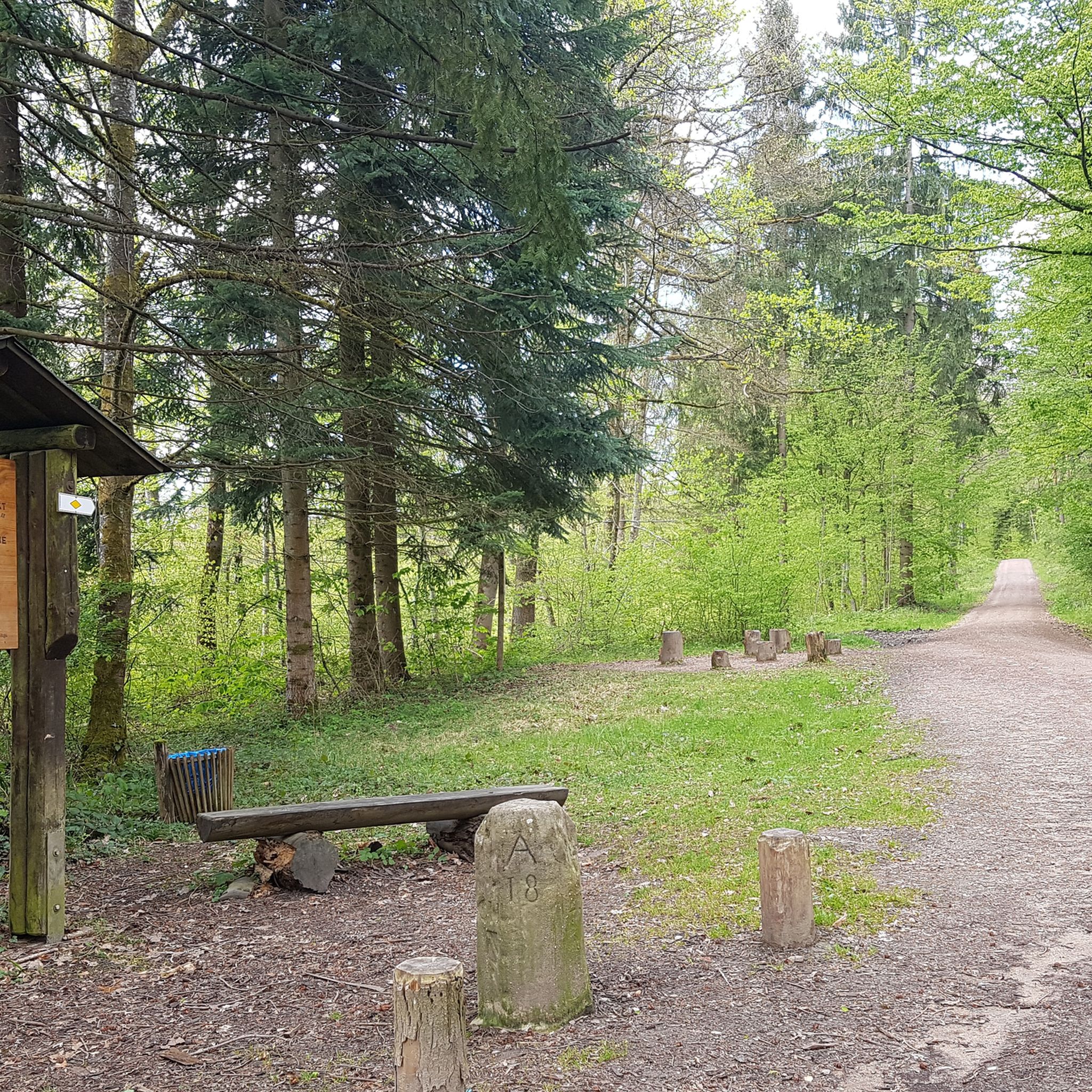
ラインフェルデン(バーデン)でのハイキング
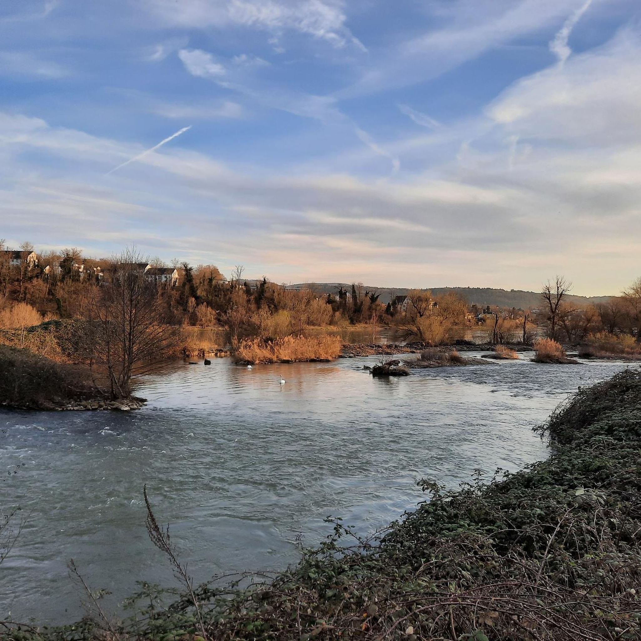
ラインフェルデン(バーデン)のMTBトレイル
ラインフェルデン(バーデン)のロードバイクルート
ラインフェルデン(バーデン)のランニングコース
ラインフェルデン(バーデン)でのの他の冒険


コミュニティからのヒント

ラインフェルデンの古いライン橋は、歩行者と自転車のみが渡ることができます。
0
0

The old Rhine bridge is a Rhine crossing and simultaneously a border crossing between the two Rheinfelden towns. Crossing is permitted only for pedestrians, bicycles, mopeds, taxis, and the local bus. The first bridge here likely dates back to the second half of the 12th century, as a Rheinfelden citizen is referred to as Heinricus de Ponte (Heinrich of the Bridge) in a document from 1198. It was thus the oldest bridge between Constance and Strasbourg, even predating the middle bridge in Basel, which was built in 1225. Several sculptures can be admired around and on the bridge, offering a view of the silhouette of the old town of the Swiss Rheinfelden.
0
0

The Hohe-Flum Tower stands on the highest point of the Dinkelberg, at 535 meters above sea level. The 13.5-meter-high tower was built in 1874. Sixty-two steps lead up to the platform. From there, one has a magnificent panoramic view in all directions. To the south, one can see the Swiss Jura plateau and, in good weather, the Alps beyond. To the west, the view extends to the Vosges Mountains, and to the north and east, to the Black Forest. The Entegast, Zeller Blauen, Hohe Möhr, and other peaks are also visible.
5
0

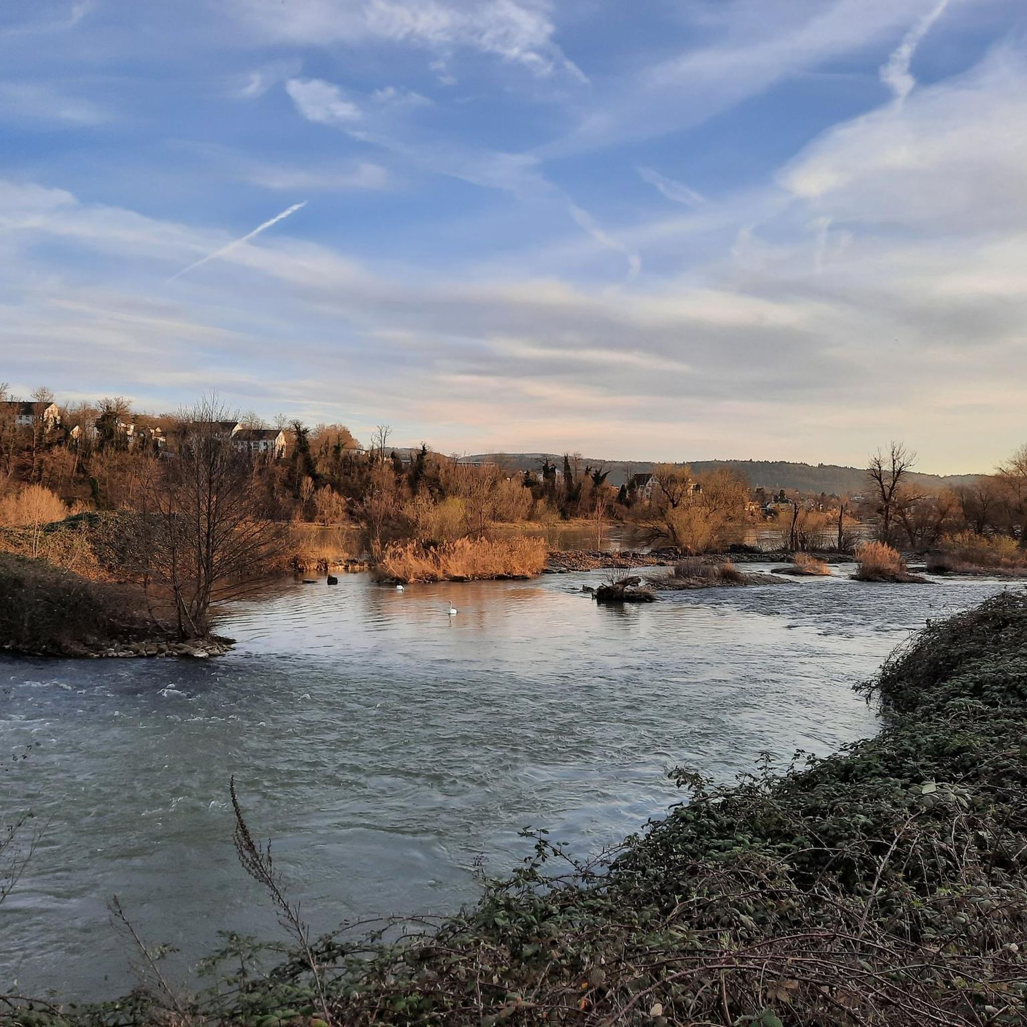
2022年5月18日、最高の天気の中、ライン川沿いを自転車で走りました。ライン川は素晴らしい色をしていました。 ドイツ側から見たラインフェルデンからの眺めはとても美しいです。
1
1

Easy to drive (during the week, otherwise there is too much traffic 🚴♂️🚶♂️🚶♀️➡️🧑🦽➡️🏃♀️🏃♂️👫) The route itself is rather boring.
0
0

Nice bridge, but be careful when turning left or right into bicycle lane.
0
0

Magnificent view of the Rhine. The tower is free. The steps are pleasantly wide—shouldn't be a problem even if you're afraid of heights 😉
0
0

ラインフェルデン(バーデン)でのの人気ルート

komootモバイルアプリでインスピレーションを得よう


さらに探索
他の地域の最高のサイクリングルートを見てみましょう。
