ルート

プランナー

機能

アップデート

App

ログインまたはサインアップ

アプリを入手

ログインまたはサインアップ

ログインまたはサインアップ

ルート
サイクリングルート
ドイツ
バイエルン
シュヴァーベン
アイヒャッハフリートベルク

レーリング

レーリングのおすすめツーリングルート

4.7

(87)

580

ライダー

26

ライド

レーリングでおすすめのサイクリングルートをお探しですか?行きたいルートを簡単に決められるように、このページではレーリング周辺の人気バイクライドをご紹介します。 ぜひ、お気に入りのルートを見つけてください。

最終更新日: 5月 24, 2026

4.5

(22)

86

ライダー

#1.

Rehlingから出発する レッヒ川とレッヒ運河の間 – Kloster Thierhaupten ループコース

48.3km

02:50

120m

120m

中程度の自転車ライド. ある程度のフィットネスレベルが必要です。 全般的に舗装された状態です。あらゆるスキルレベルに適しています。

デバイスでナビ

スマートフォンに送信

保存

中程度

中程度の自転車ライド. ある程度のフィットネスレベルが必要です。 全般的に舗装された状態です。あらゆるスキルレベルに適しています。

中程度
guide_signup
私たちがkomootモバイルアプリで道を示します
無料の komoot アカウントがあれば、無限のアウトドアコースを簡単に見つけてカスタマイズし、ナビで案内できます。

無料新規登録

初級者向けバイクライド. あらゆるフィットネスレベルに適しています。 全般的に舗装された状態です。あらゆるスキルレベルに適しています。

初級

初級者向けバイクライド. あらゆるフィットネスレベルに適しています。 全般的に舗装された状態です。あらゆるスキルレベルに適しています。

初級

初級者向けバイクライド. あらゆるフィットネスレベルに適しています。 全般的に舗装された状態です。あらゆるスキルレベルに適しています。

初級
無料新規登録すると、レーリングでのでのライドをさらに22件ご覧いただけます。

さらに多くのルートや他のユーザーのおすすめ情報を確認できます。

無料新規登録

すでにアカウントをお持ちですか?

おすすめのツアーは他のkomootユーザーが実際に経験した何千ものアクティビティに基づいています。

無料アカウントで今日から始めよう

次の冒険が待っています。
ログインまたは登録

レーリング周辺で人気

レーリングのロードバイクルート

レーリングでのハイキング

レーリングのランニングコース

レーリングでののグラベルライド

レーリングのMTBトレイル

コミュニティからのヒント

lupjos20
10月 14, 2025, Historic Power Plant and Lech Museum Langweid

The LEW also offers its own tours for larger groups and upon reservation.

Google翻訳による翻訳

0

0

Nice mini golf course nearby

Google翻訳による翻訳

0

0

lupjos20
9月 23, 2025, Peters Imbiss

A very good place to stop for a bite to eat. However, it's only open Monday to Thursday.

Google翻訳による翻訳

0

0

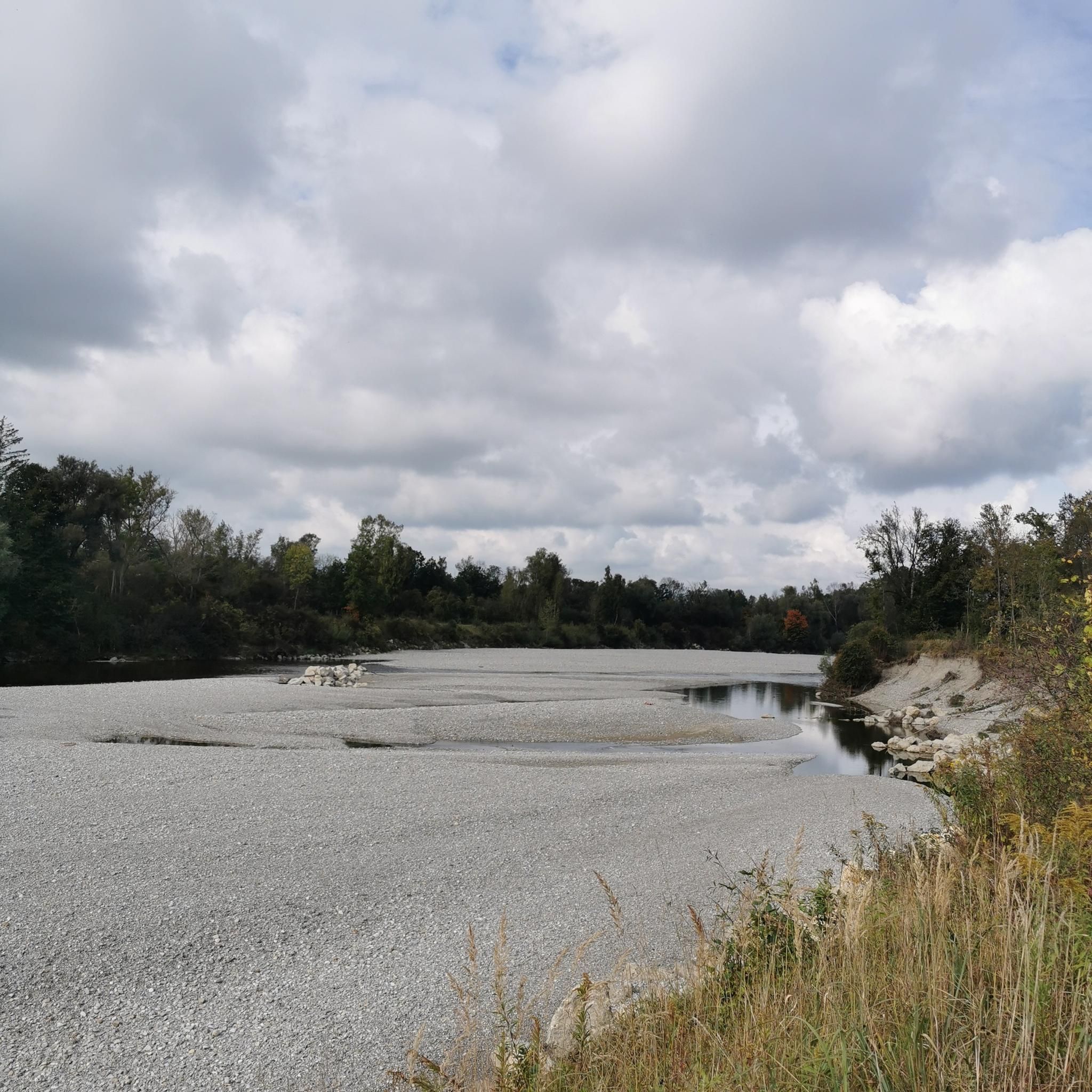
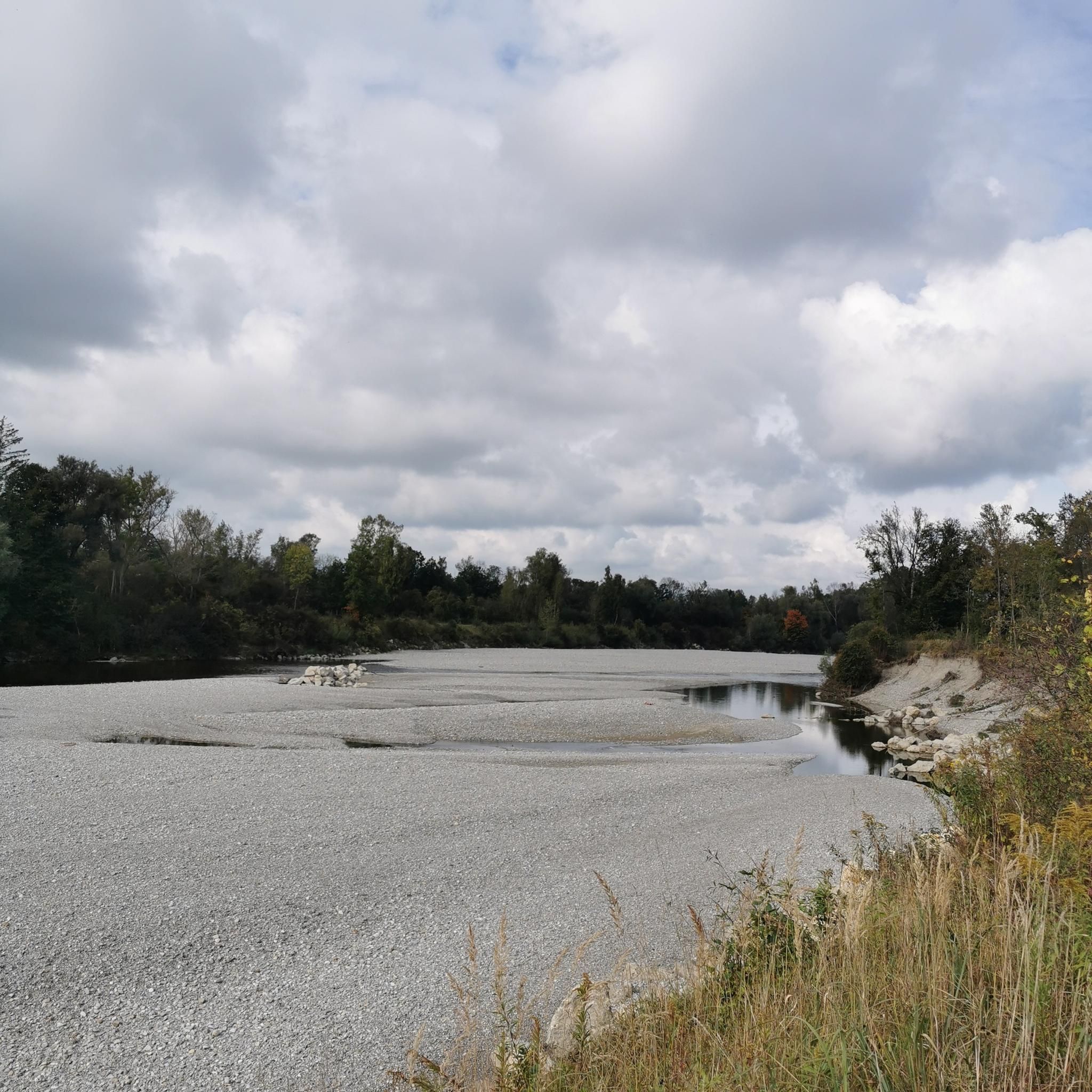
The ride is more leisurely here than on the boring bike path. There's also plenty of nature and wildlife to see. The Sander Lakes invite you to take a break. Paved throughout.

Google翻訳による翻訳

0

0

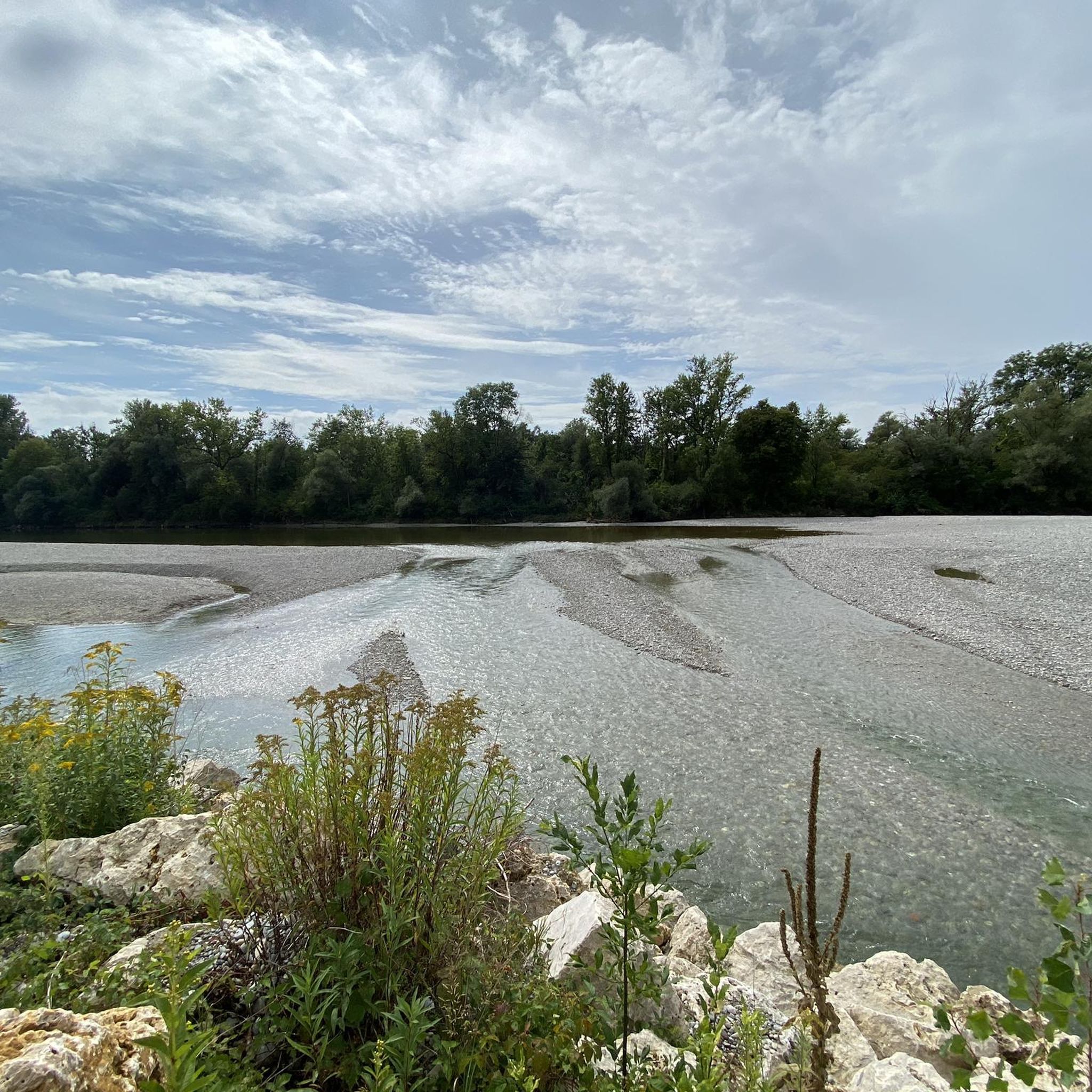
The Lech is a right tributary of the Danube. The 256 km long river originates in Vorarlberg in the Hochtannberg region at the confluence of the Spullerbach and Formarinbach streams in the Tannläger valley. It flows through Tyrol and southern Bavaria, where it empties into the Danube. Shortly before the Austrian-German border, it joins the Vils river, forms the artificial Lechfall near Füssen, and crosses Swabia and Upper Bavaria on its way. The largest cities on the Lech are Landsberg and Augsburg; in this city, it receives its largest tributary, the Wertach. The river empties into the Danube near Marxheim. Source: Wikipedia

Google翻訳による翻訳

1

0

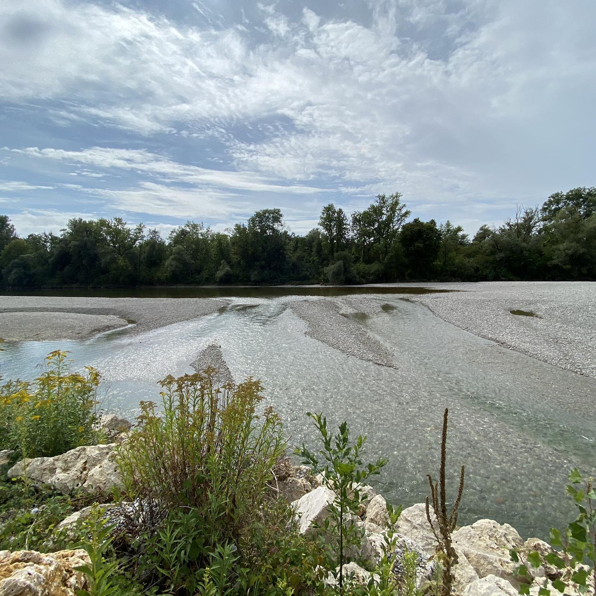
The Lech is a right tributary of the Danube. The 256 km long river originates in Vorarlberg in the Hochtannberg region at the confluence of the Spullerbach and Formarinbach streams in the Tannläger valley. It flows through Tyrol and southern Bavaria, where it empties into the Danube. Shortly before the Austrian-German border, it joins the Vils river, forms the artificial Lechfall near Füssen, and crosses Swabia and Upper Bavaria on its way. The largest cities on the Lech are Landsberg and Augsburg; in this city, it receives its largest tributary, the Wertach. The river empties into the Danube near Marxheim. Source: Wikipedia

Google翻訳による翻訳

2

0

The Via Claudia Augusta is the oldest Roman road in the Bavarian Alpine foothills. The Via Claudia Augusta was one of the most important Roman roads connecting northern Italy with southern Germany. Even in the time of the Roman Emperor Claudius, it was used to cross the Alps by wagon. To develop the new province, later called Raetia, the route from Feltria/Feltre via Tridentum (Trento) and the Reschen Pass, the Upper Inn Valley, and the Fern Pass to the Lech River was already being expanded. The road was finally completed, made accessible to wagons throughout, renovated, and extended to the Danube under Emperor Claudius. In the first two centuries AD, the Via Claudia Augusta was the most important connection between the Adriatic Sea, the Po Valley, and the western Alpine foothills. The road was of particular importance for the Roman imperial postal service. As usual, it was monitored by the Benefiziarii, a traffic police force composed of legionnaires assigned to ensure the maintenance of the road and the safety of its users. Over the years, a vibrant infrastructure developed along the road: inns and horse-changing stations (mansiones, mutationes) were established, some of which eventually grew into towns. Source: Wikipedia Unfortunately, the route of the Via Claudia in the Stettenhofen – Langweid area can no longer be reconstructed. The Lech River, which once had the ability to damage it with its rapid and unhindered flow, is likely responsible for the largely destroyed route in this area. Source and information: https://www.roemerstrasse-via-claudia.de/die-via-claudia-bei-langweid

Google翻訳による翻訳

3

0

The Via Claudia is the most important Roman road north of the Alps. It was the former connection between the northern Italian mainland and the territory of the province of Raetia, serving as a key military road, traffic artery, and trade route. Unfortunately, the route of the Via Claudia in the Stettenhofen-Langweid area can no longer be reconstructed. The Lech River, which once caused unhindered damage to the road, is likely responsible for the largely destroyed route in this area. https://www.roemerstrasse-via-claudia.de/die-via-claudia-bei-langweid

Google翻訳による翻訳

2

0

レーリングでのの人気ルート

レーリングのロードバイクルート

レーリングでのの人気観光スポット

Places to see

Store rating

komootモバイルアプリでインスピレーションを得よう

無料のkomootアカウントがあれば、無限のアウトドアコースを簡単に見つけてカスタマイズし、ナビで案内できます。

または

今すぐkomootに参加しよう

Store rating

さらに探索

他の地域の最高のサイクリングルートを見てみましょう。

メリングアイヒャッハヴァイトマン湖キスLechauwald Bei UnterbergenアフィングスタインドルフペットメスキューバッハシュミーヒェンDerchinger ForstDasingアイントリングオーバーグリースバッハメルヒングトッテンヴァイスインヒェンホーフェンリードLandmannsdorfer ForstEurasburger ForstマンディコシーシルトベルクアデルツハウゼンホレンバッハBernbacher WaldSchiltberger ForstSpitalwaldフリートベルガー・バッガーゼージーレンバッハ

近くのアドベンチャーガイド

トッテンヴァイスでやるべきこと

background

新しいピークを征服する準備をしよう

無料でサインアップ

探検する
ルートルートプランナー機能ハイキングMTBトレイルロードバイクルートバイクパッキングサイトマップ
アプリをダウンロード
SNSでフォローする

© komoot GmbH

プライバシーポリシー