パラジャーノのおすすめウォーキング&ハイキングルート
4.4
(98)
248
ハイカー
46
ハイキング
パラジャーノ周辺でのハイキングは、景色を満喫するのに最適な手段のひとつですが、適切なハイキングルートを見つけることは簡単ではありません。 パラジャーノ周辺の人気ハイキング&ウォーキングコースを参考にすれば、行きたいルートをすぐに見つけられます。
最終更新日: 10月 11, 2026
4.5
(15)
50
ハイカー
24.2km
06:41
410m
410m
難しいハイキング. 標準以上のフィットネスレベルが必要です。 進みやすいルートです。あらゆるスキルレベルに適しています。
4.5
(2)
7
ハイカー
8.20km
02:18
160m
160m
中程度のハイキング. ある程度のフィットネスレベルが必要です。 進みやすいルートです。あらゆるスキルレベルに適しています。

4.7
(3)
11
ハイカー
5.84km
01:40
130m
130m
初級者向けハイキング. あらゆるフィットネスレベルに適しています。 進みやすいルートです。あらゆるスキルレベルに適しています。
4.0
(1)
6
ハイカー
6.07km
01:36
60m
60m
初級者向けハイキング. あらゆるフィットネスレベルに適しています。 進みやすいルートです。あらゆるスキルレベルに適しています。
4.0
(8)
9
ハイカー
5.59km
01:31
70m
80m
初級者向けハイキング. あらゆるフィットネスレベルに適しています。 進みやすいルートです。あらゆるスキルレベルに適しています。
さらに多くのルートや他のユーザーのおすすめ情報を確認できます。
すでにアカウントをお持ちですか?
おすすめのツアーは他のkomootユーザーが実際に経験した何千ものアクティビティに基づいています。
無料アカウントで今日から始めよう
次の冒険が待っています。


コミュニティからのヒント

Situated at the top of a hill to the north west of Taranto and Massafra is the town of Mottola, often referred to as the 'Ionian Spy' due to its geographical position. At 1270ft above sea level it is visible for miles around. Ancient remains were discovered in the area at the turn of the 20th Century, indicating significant Bronze Age settlement on the site of the current town. The altitude of the old town's narrow winding streets means that spectacular views of the Gulf of Taranto appear through gaps in the buildings. The centre of the old town is home to several churches, including the 12th Century Chiesa Matrice, as well as partial remains of 600 BC Greek walls.
0
0
The Church of Sant'Angelo, the only rock church of Italy to be arranged on two floors.
0
0
The castle stands on the highest point of the town, in a strategic position to control the surrounding territory. From its summit you can observe the territory at 360 degrees up to the mountains of Sila (Calabria). There is a relationship of continuity between the houses dug into the ravine and the castle, whose construction probably began in the first half of the 16th century by the Domini Roberti family for the defense of the hamlet of Palagianello , finished, but not completely, in the 18th century under the rule of the Caracciolo. The castle, which has a massive quadrangular plan with a large central courtyard , equipped with four towers at the external corners, has all the defensive structural characteristics of the 16th century fortresses . The current entrance to the castle is located on the south side, while originally it was located to the west and was accessed via a drawbridge located over a moat, still existing today, which runs along the entire west side and part of the north side. The drawbridge has been replaced by a brick bridge with two arches. On the lower floor there are the warehouses and stables while on the upper floor there are the rooms that were used as the feudal lord's residence; in correspondence with the entrance , at the end of the staircase that leads to the upper floor there is a large hall for representative meetings with a vaulted ceiling, supported by apse arches, on which the family coat of arms is frescoed. In a room on the ground floor there is a trap door that leads to a secret passage that flows into the ravine of Palagianello. In 1874 the old entrance was closed to create a chapel in honor of the Virgin of the Seven Sorrows designed by the architect Gabriele Califano , commissioned by Count Antonio Stella Caracciolo . The Chapel was given in perpetual use by Count Caracciolo to the Confraternity of the Addolorata.
0
0
Entirely dug in tuff, the chapel entitled to the Madonna delle Grazie is the heart of the namesake sanctuary lying on the ravine in Palagianello.
0
0
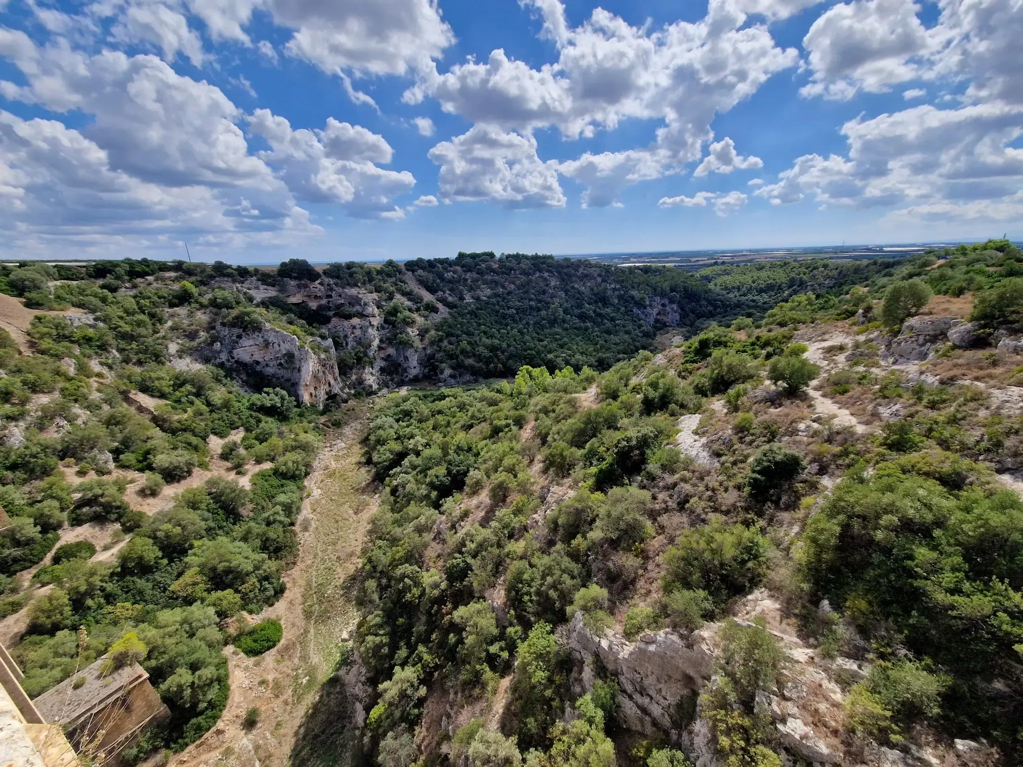
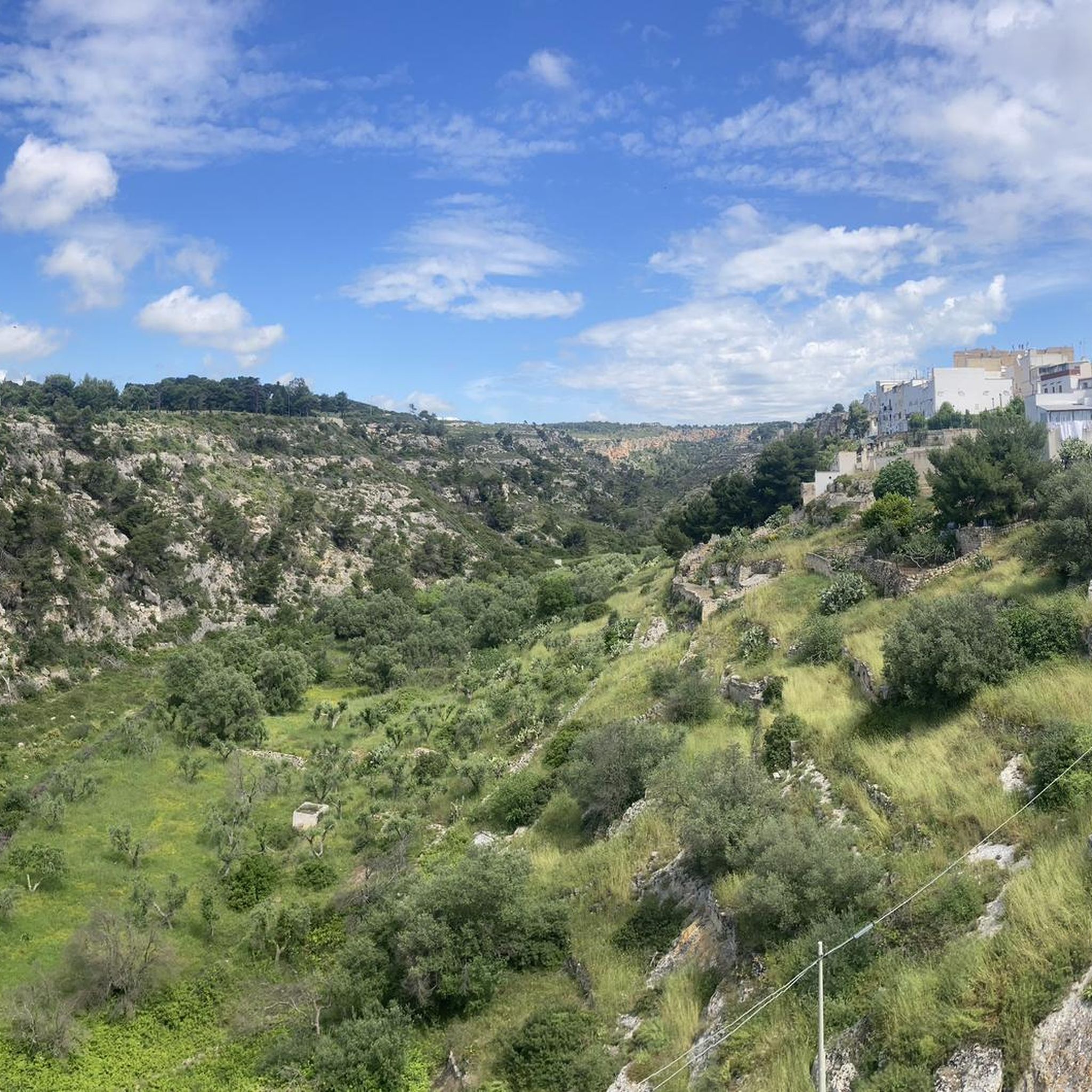
Towards the end of the 5th century AD when the Roman Empire came under attack from the Goths and other Germanic tribes attacking Rome, the open plains were no longer safe. And it was then that people sought refuge in the relatively safer ravines. The soft, limestone bedrock made it easy to cut into the sides of the ravines to create places to live that were easier to protect against the Goths to begin with, but also the Saracens later. Over the turbulent centuries of the Middle Ages that followed the fall of the Western Roman Empire fully developed communities emerged in these ravines. These early Medieval troglodytes ‘built’ surprisingly complex villages simply by cutting into the rock at different levels. Besides creating domestic spaces – Casa Grotto (cave house), they also cut churches into the sides of the ravines. They also cut channels and cisterns into the rock to supply water.
0
0
Two railway bridges (one current, one now uses as bicycle/pedestrian path) parallel to each other over the Gravina di Santa Lucia/Gravina Grande.
0
0
The first documents about the rupestrian settlement of Pesco date back to 1236, but legend has it that the construction of the church took place as an ex voto by an English captain, led to safe shore by a mysterious light during a stormy night in the Ionian Sea. The search for the miraculous light bought the captain on the edge of the ravine, where in one of the caves of the rock settlement, with an entrance facing the sea, a votive lamp was lit in front of a painting of the Virgin with Child. Here he built the ship-shaped building and from that moment on, people began to call it "Our Lady of the Light". Other sources associate the name "Pesco" to "piscus" or rocky spur, and it is precisely in this position that the church still stands today. The church has a Romanesque facade with some Gothic elements. The rould-arched main portal has prothyrun and columns decorated with vegetal, animal and fantastic motifs. The rose window ist flanked by two lions in profile on asymmetrical frames. In the left side of the nave, the portal leads to a small courtyard and to the rupestrian settlement (about 300m from the church).
0
0

functioning AQP fountain, near the Carmine church
1
0
パラジャーノでのの人気観光スポット

komootモバイルアプリでインスピレーションを得よう


さらに探索
他の地域の最高のハイキングを見てみましょう。
