リュベロンのおすすめウォーキング&ハイキングルート
4.5
(10401)
57,400
ハイカー
1,695
ハイキング
リュベロンでおすすめのハイキングやウォーキングをお探しですか?リュベロンが誇るこの美しい自然公園周辺のルートを集めたkomootコレクションを参考にしてください。 ここでは、リュベロンの人気ハイキングコースを紹介しています。魅力的なルートが見つかったら、さっそく冒険に出かけましょう。
最終更新日: 10月 24, 2026
4.6
(187)
965
ハイカー
6.75km
01:56
160m
150m
難しいハイキング. 安定して歩行できる技術、丈夫な靴、高標高地での登山経験が必要です。
4.7
(102)
380
ハイカー
10.2km
02:57
250m
250m
中程度のハイキング. ある程度のフィットネスレベルが必要です。 ほとんどが歩ける道です。足元への注意が必要です。

4.7
(114)
339
ハイカー
6.75km
01:57
170m
170m
初級者向けハイキング. 歩きやすい道です。
4.7
(94)
476
ハイカー
10.3km
03:07
300m
300m
中程度のハイキング. ある程度のフィットネスレベルが必要です。 ほとんどが歩ける道です。足元への注意が必要です。
4.6
(101)
350
ハイカー
11.4km
03:19
290m
300m
中程度のハイキング. ある程度のフィットネスレベルが必要です。 歩きやすい道です。
さらに多くのルートや他のユーザーのおすすめ情報を確認できます。
すでにアカウントをお持ちですか?
おすすめのツアーは他のkomootユーザーが実際に経験した何千ものアクティビティに基づいています。
無料アカウントで今日から始めよう
次の冒険が待っています。
リュベロン周辺で人気
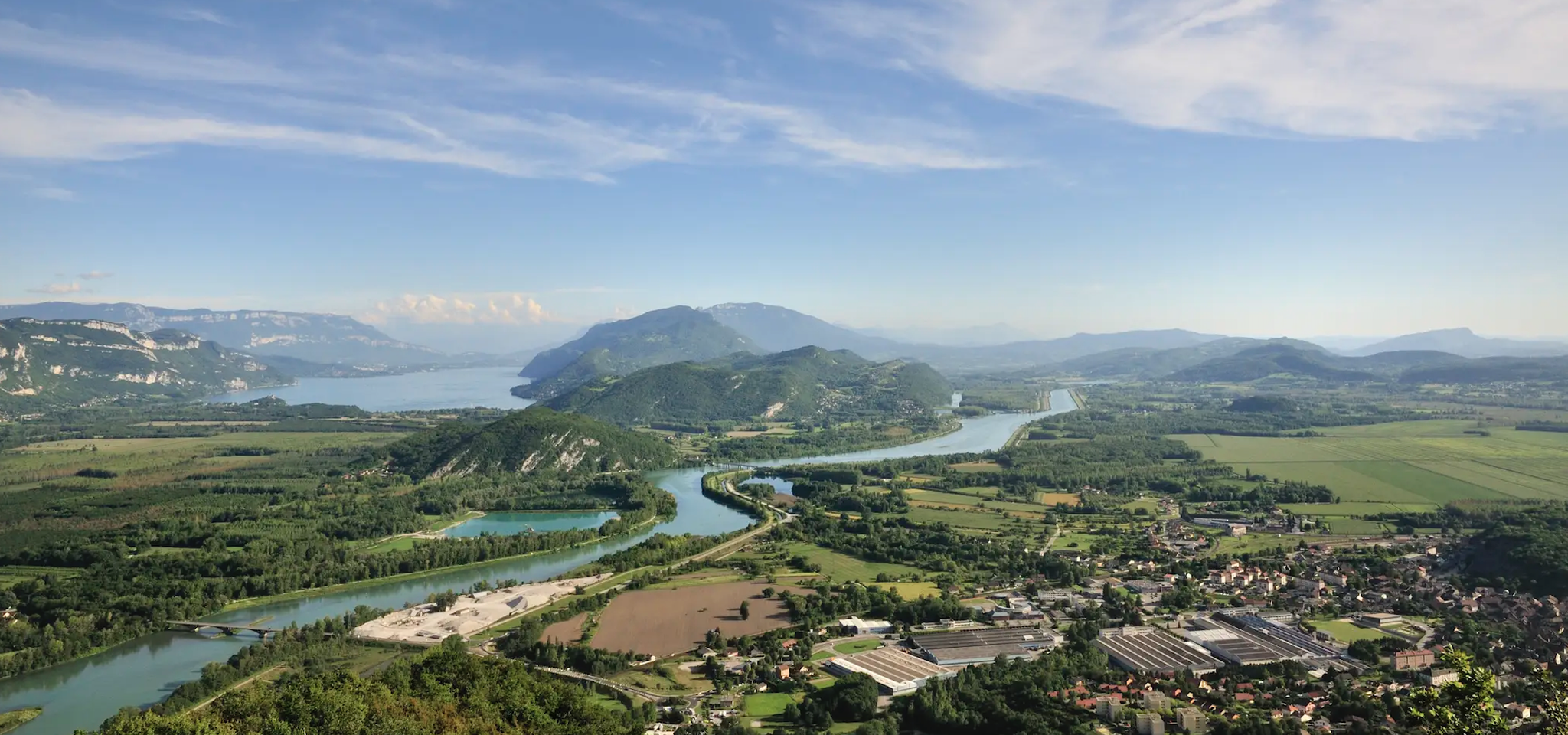
対比の交差 - ジュラから地中海までのGR 9
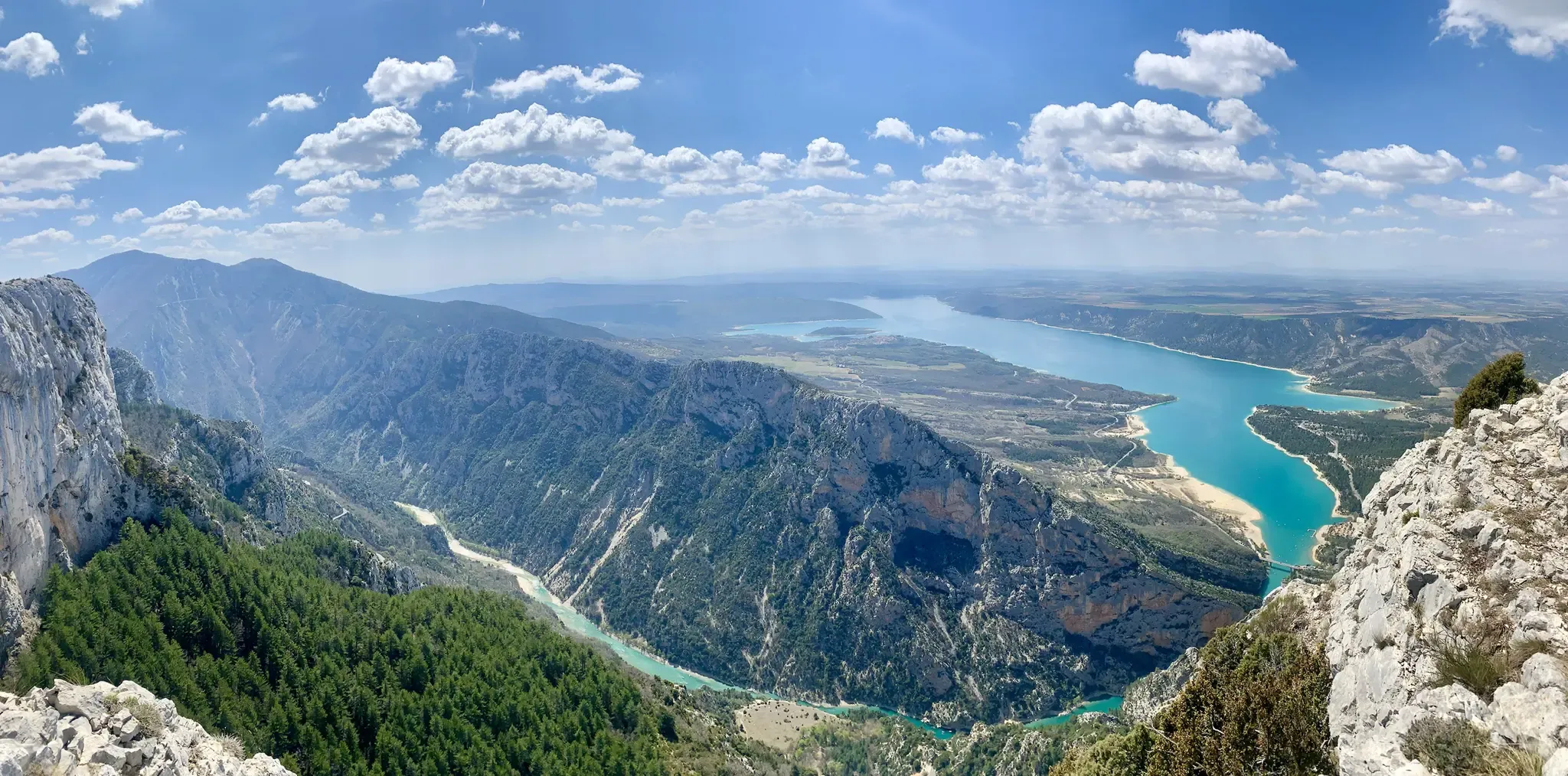
フランス南部を横断する – 大西洋海岸からプロバンスまで (GR 4)
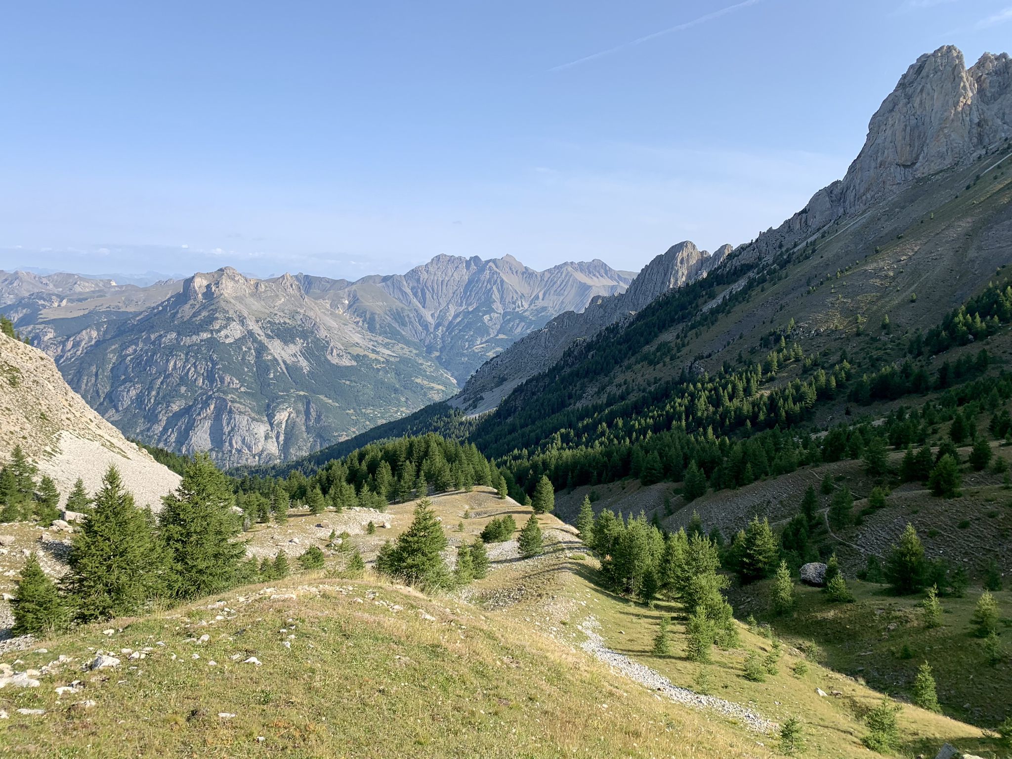
アルプスから大西洋へ — GR 6
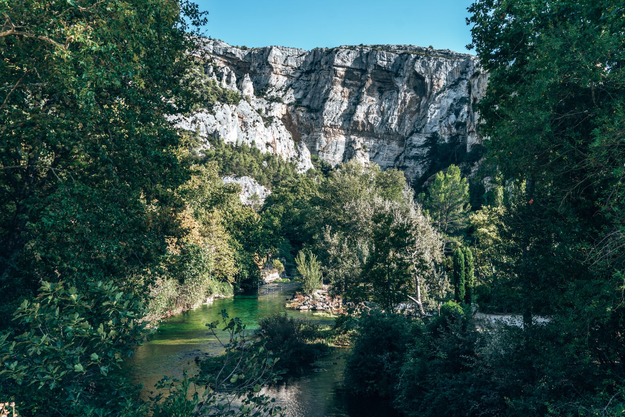
Hiking in the Luberon – Biosphere Reserve and UNESCO Geopark
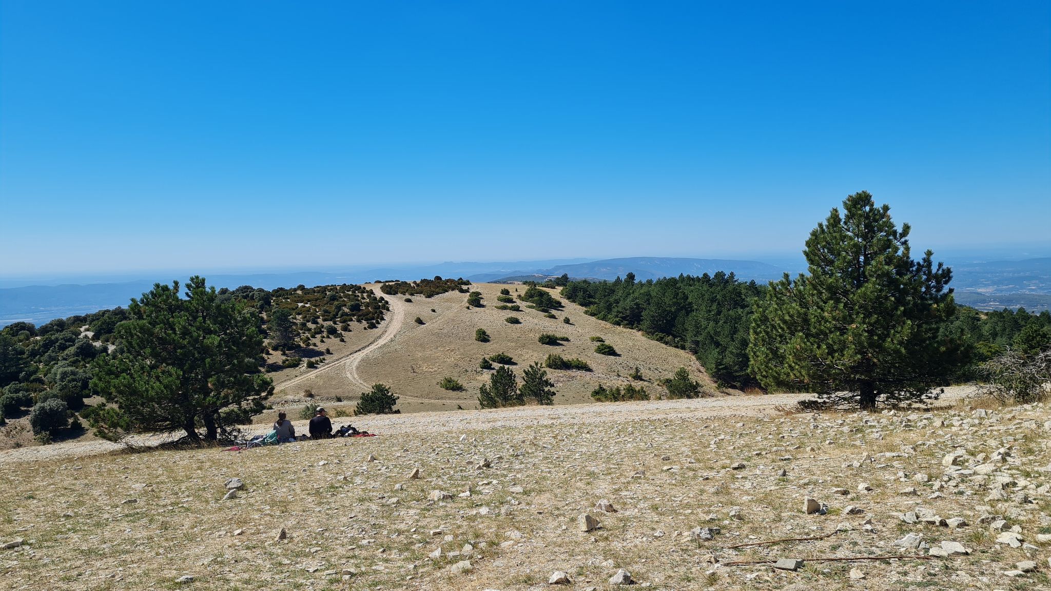
グラン・リュベロンを越える - GRP 92
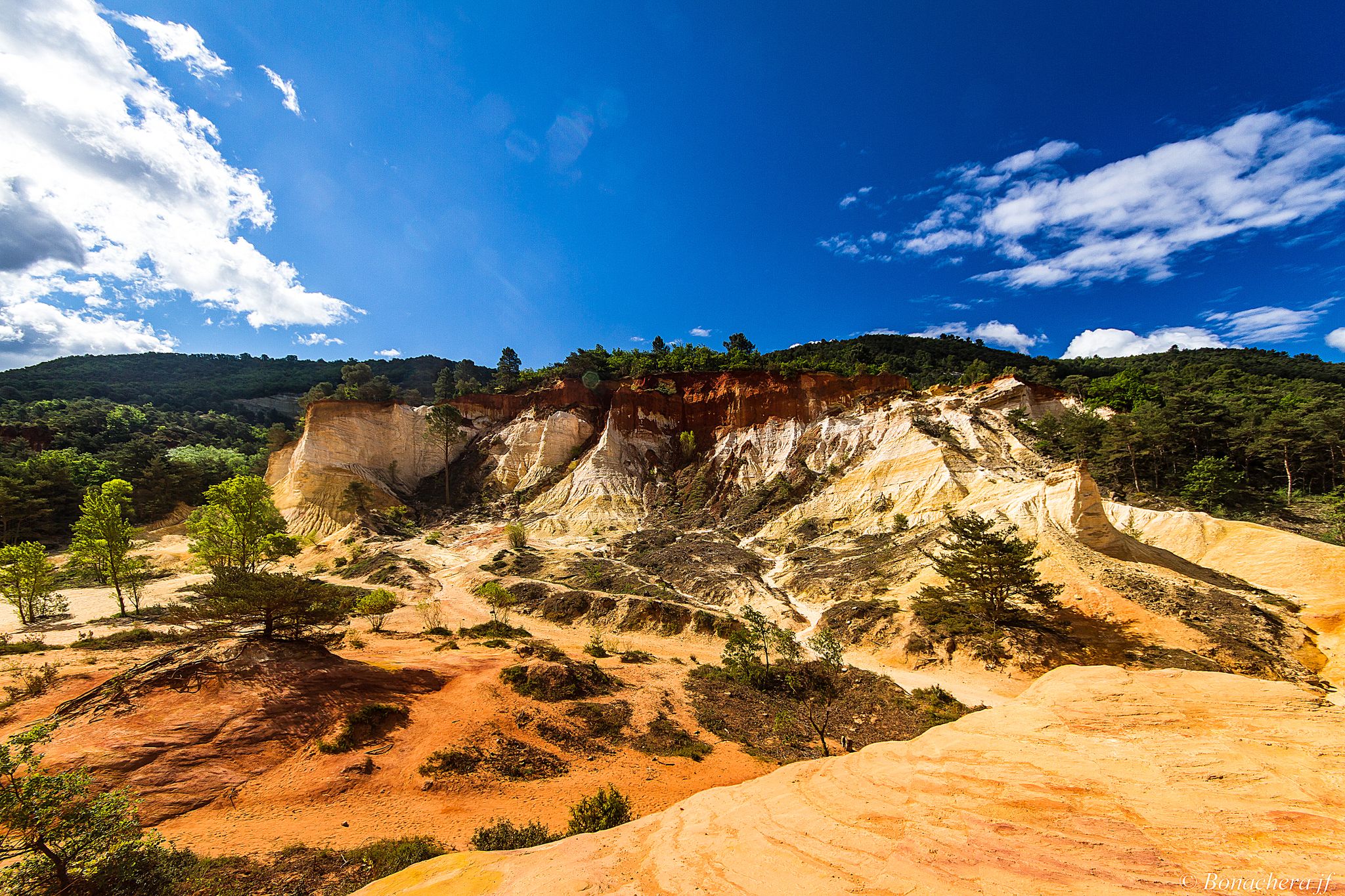
プロバンスの山脈を通じて - Tour du Luberon (GR 97)
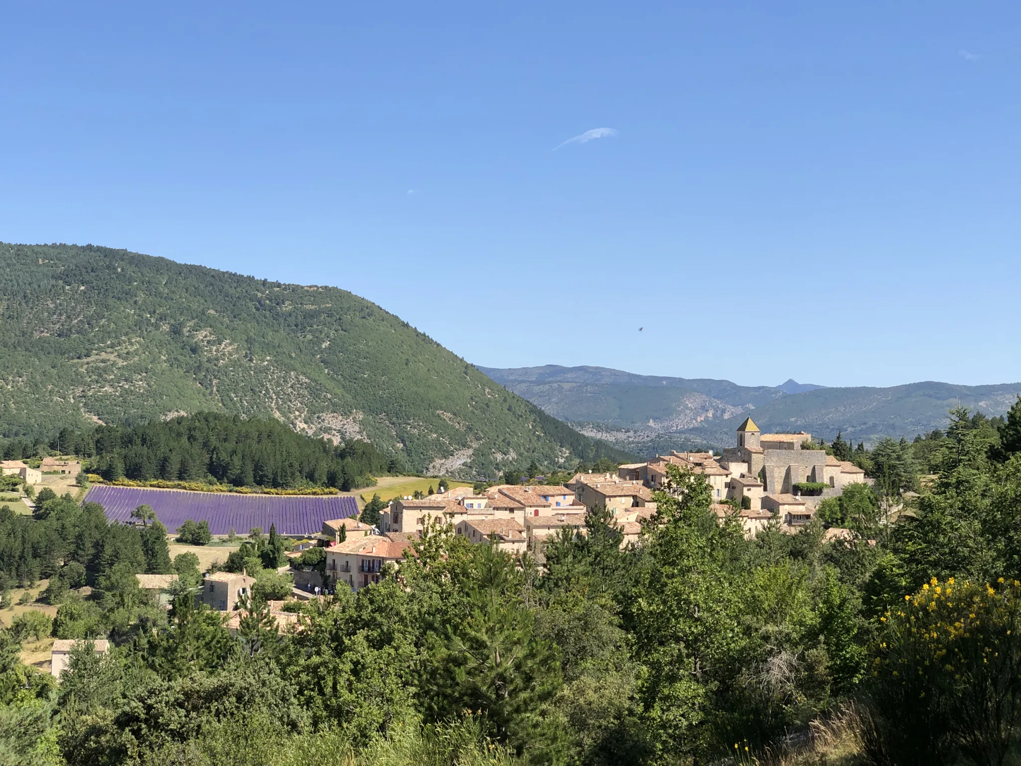
卓越した自然の景色 — La Grande Traversée de Vaucluse à VTT
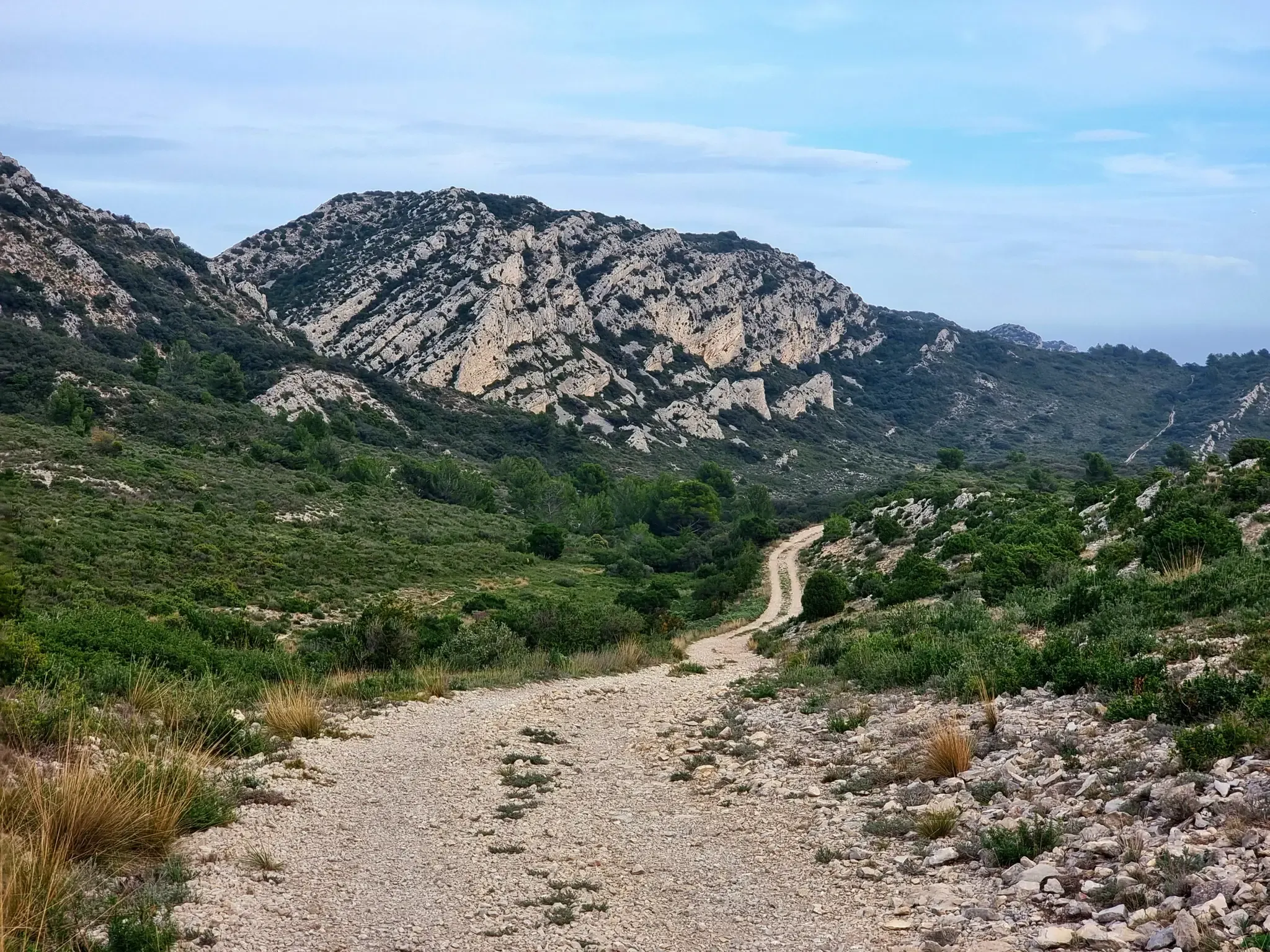
4つの大山脈 — Gravel Tour de la Provence
フランスルドリアバルトリアのプラスライルドアルドルありません、ガランドが起取に

自転車でフランスのルベロン地方自然公園を探検する
リュベロンでのの他の冒険


コミュニティからのヒント

シャトー・ド・ゴルドへの訪問は、リュベロンの印象的な眺めのために特に価値があります。歴史的な村の曲がりくねった路地を散策し、雰囲気を楽しむために時間を取ってください。特に早朝または夕暮れ時には、暖かい光が明るい自然石のファサードを金色に染め、訪問者がはるかに少なくなるため、訪れるのに最適です。カメラを忘れないでください。この景色はプロヴァンスで最も美しいものの一つです。
0
0

12世紀の美しいシトー会修道院で、リュベロンの窪地にラベンダー畑の中にあります。
1
0

There had been a lot of rain in the last few days. The west side of the walk is very hard in places and the path at the bottom of the metal stairs had washed away and the hand holds could not be reached. It was very dangerous as were several sections where the path is on an angle. This was for a distance of about 500 metres either side of the metal ladder. In places the path is only 30-50 cm wide with a vertical drop of 50-75 metres and certain death if you slip. Not suitable for children or people who are not experienced mountain walkers. A strong walking pole was very useful.
0
0

At the highest point of the circular trail, there are great views of the yellow towers of the "fairy chimneys" and this part of the Luberon.
0
0
nice parking space
0
0

Sivergues is a small picturesque village in the Luberon, nestled at an altitude of 600 meters and surrounded by preserved natural landscapes. With barely twenty inhabitants, this isolated hamlet has retained its old-world charm with its stone houses, narrow streets, and panoramic views of the surrounding mountains.
0
0
The Aiguebrun, a rare semi-permanent watercourse in the Mediterranean region, crosses a major ecological valley in the Park. This site is home to species such as brown trout, southern barbel and the rare white-clawed crayfish. The presence of these species testifies to the good health of the aquatic ecosystem, highlighting the importance of its preservation.
1
1
The Aiguebrun gorges, rich in ancient geological history, are distinguished by their high limestone cliffs and their piles of collapsed rocks. They were formed around six million years ago, following the drying up of the Mediterranean Sea. This phenomenon caused the water level to drop by around 1,000 meters, allowing rivers to carve vast canyons, which were then partially filled in by sedimentary deposits. Over the course of the ice ages, erosion has accentuated the verticality of the cliffs, making the landscape even more spectacular.
0
0

komootモバイルアプリでインスピレーションを得よう


