エッツタールの峠・トップ20
風景を楽しんだり、上りや下りを満喫したり、峠には楽しみ方がたくさんあります。エッツタールの素晴らしい峠の一覧を参照して、思い出に残るアドベンチャーに出かけましょう。コミュニティのメンバーがコミュニティのために投稿した峠のハイライトは、他のユーザーが実際におすすめする情報なので、どれも信頼できるものです。気に入った峠にさっそく向かってみましょう。
最終更新日: 8月 19, 2026
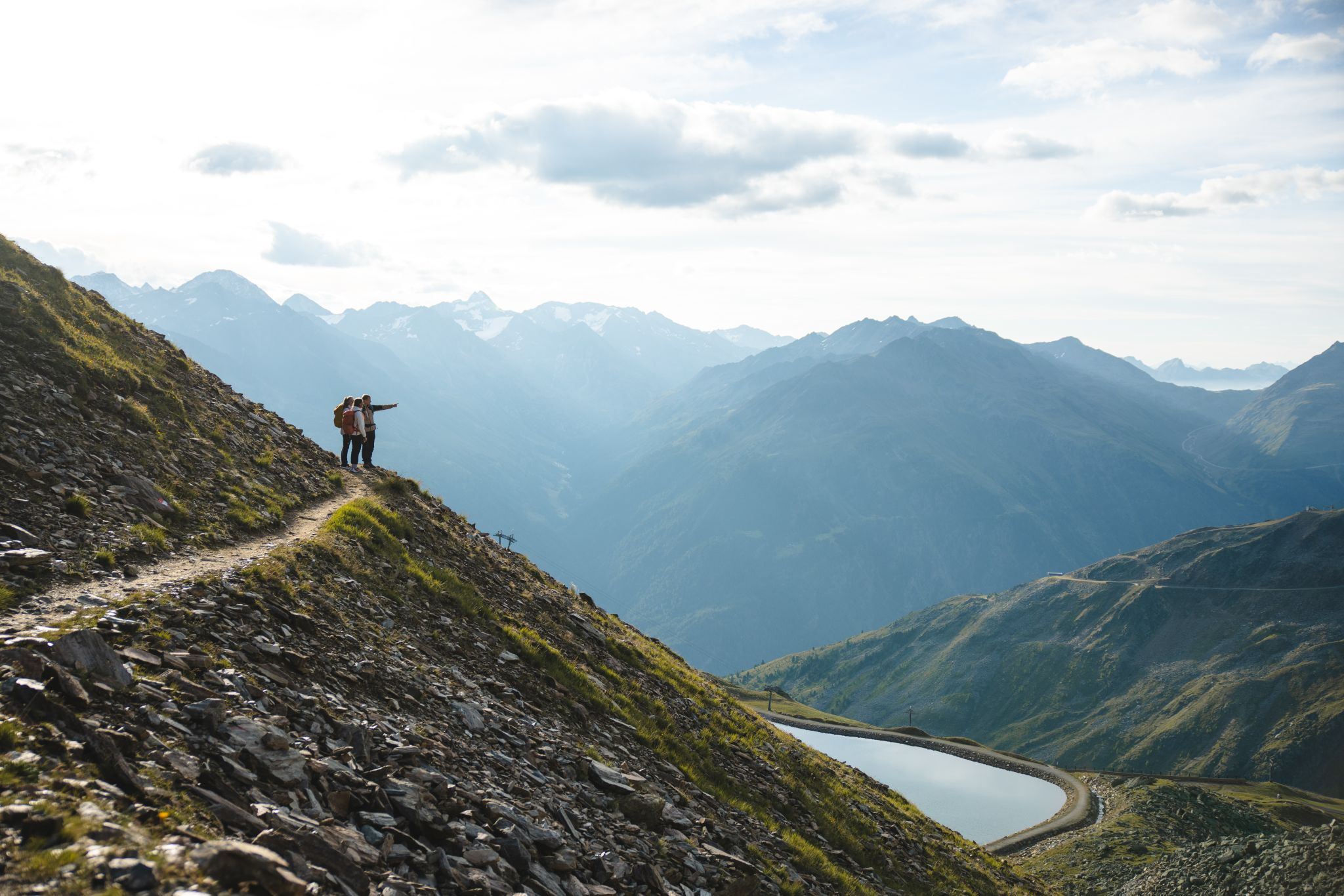
ティーフェンバッハ–フェント高所パノラマ道
ハイライト (セグメント) • トレイル
翻訳者 Google •
役立つ情報 は

シュランコーゲル山頂
ハイライト • 山頂
翻訳者 Google •
役立つ情報 は

今すぐサインアップして、こんな場所を発見しよう
最高のシングルトラック、ピーク、その他のエキサイティングなアウトドアスポットのおすすめを受け取ろう。
無料新規登録
ティメルスヨッホの山頂十字架
ハイライト • 山頂
翻訳者 Google •
役立つ情報 は

ツヴィーゼルバッハヨッホ
ハイライト • 山道
翻訳者 Google •
役立つ情報 は

ティンメルスヨッホ峠の標識
ハイライト • 山道
Ötztalの奥地には、アルプスに「秘密の切れ目」があります。それがTimmelsjoch Hochalpenstraßeです。標高2,474mのこの峠道は、おそらく石器時代から南北を結ぶ重要な軸となってきました。今日、日帰り旅行者はもはや苦労して峠をよじ登る必要はなく、車やバイクでTimmelsjoch-HochalpenstraßeをObergurglから南チロルのPasseiertalまでドライブできます。東アルプスで最も高い峠は、旅行者に高山の自然の壮大な景色を開き、6つの体験ステーションでユニークなTimmelsjoch体験をマークしています。
道路は開通しています。営業時間:毎日07:00~20:00。
テキスト/出典:Ötztal Tourismus/Liftgesellschaften Obergurgl-Hochgurgl
gurgl.com/de/sommer/ausflugsziele/timmelsjoch-hochalpenstrasse.html
翻訳を表示中
役立つ情報 は

無料でサインアップして、さらに多くの山道を発見しましょう エッツタールでの。
無料新規登録
すでにアカウントをお持ちですか?
無料アカウントで今日から始めよう
次の冒険が待っています。
ログインまたは登録
エッツタール周辺で人気

クラシックアルプスの交差点から遠く - L1 ガルミッシュからブレッシャまで

E5 – Hiking across the Alps
Climb our Heartpeaks and enjoy both pulsating and quiet mountain moments
ストゥバイアーアルペン縦断 - 純粋な冒険10日間
セルライナー山脈を通る - 景色の良い頂上と急峻な峠
Ötzi Transalp - StubaiおよびÖtztalアルプスのバイクパッキング
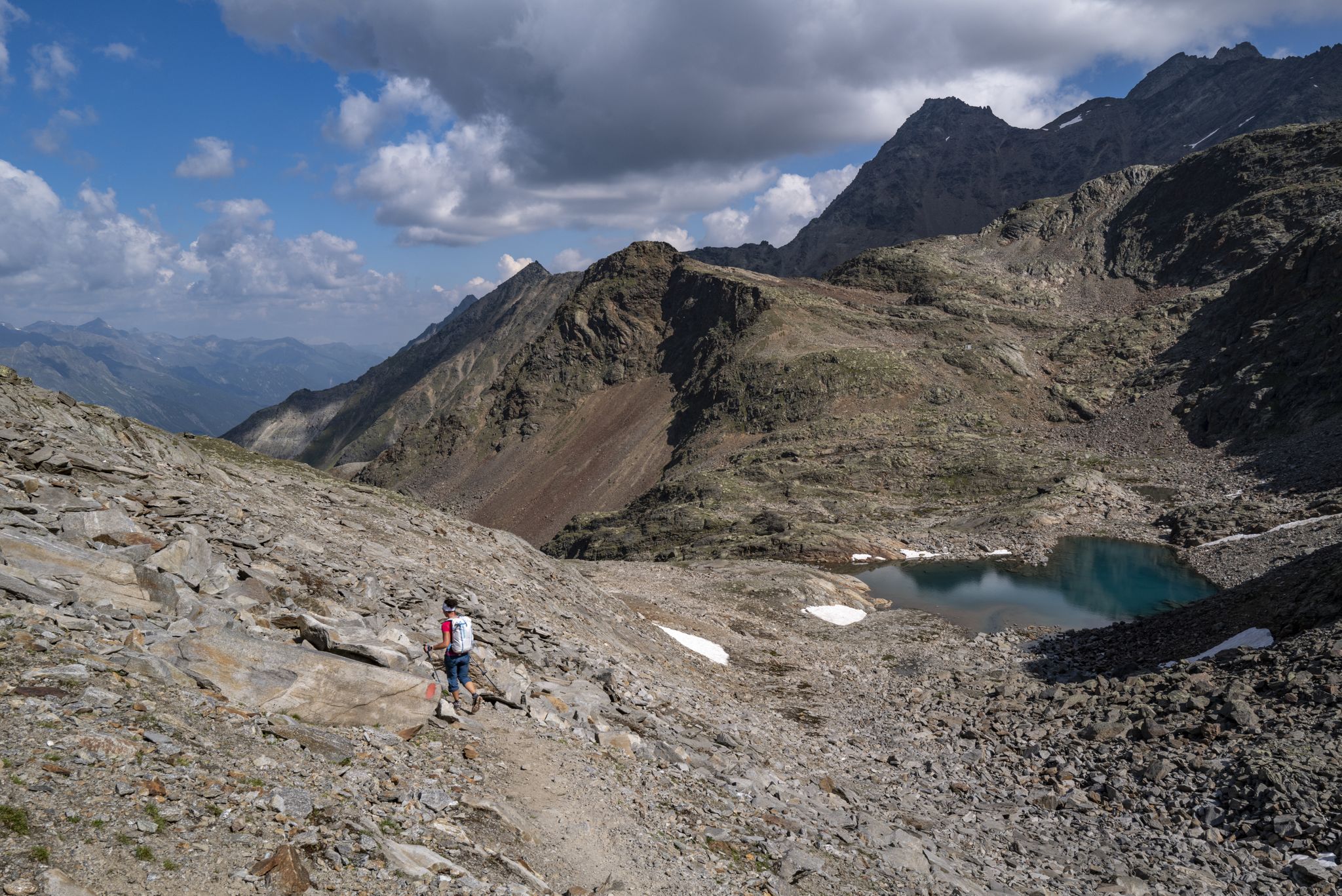
山岳愛好家のための冒険 – オェツタルトレック
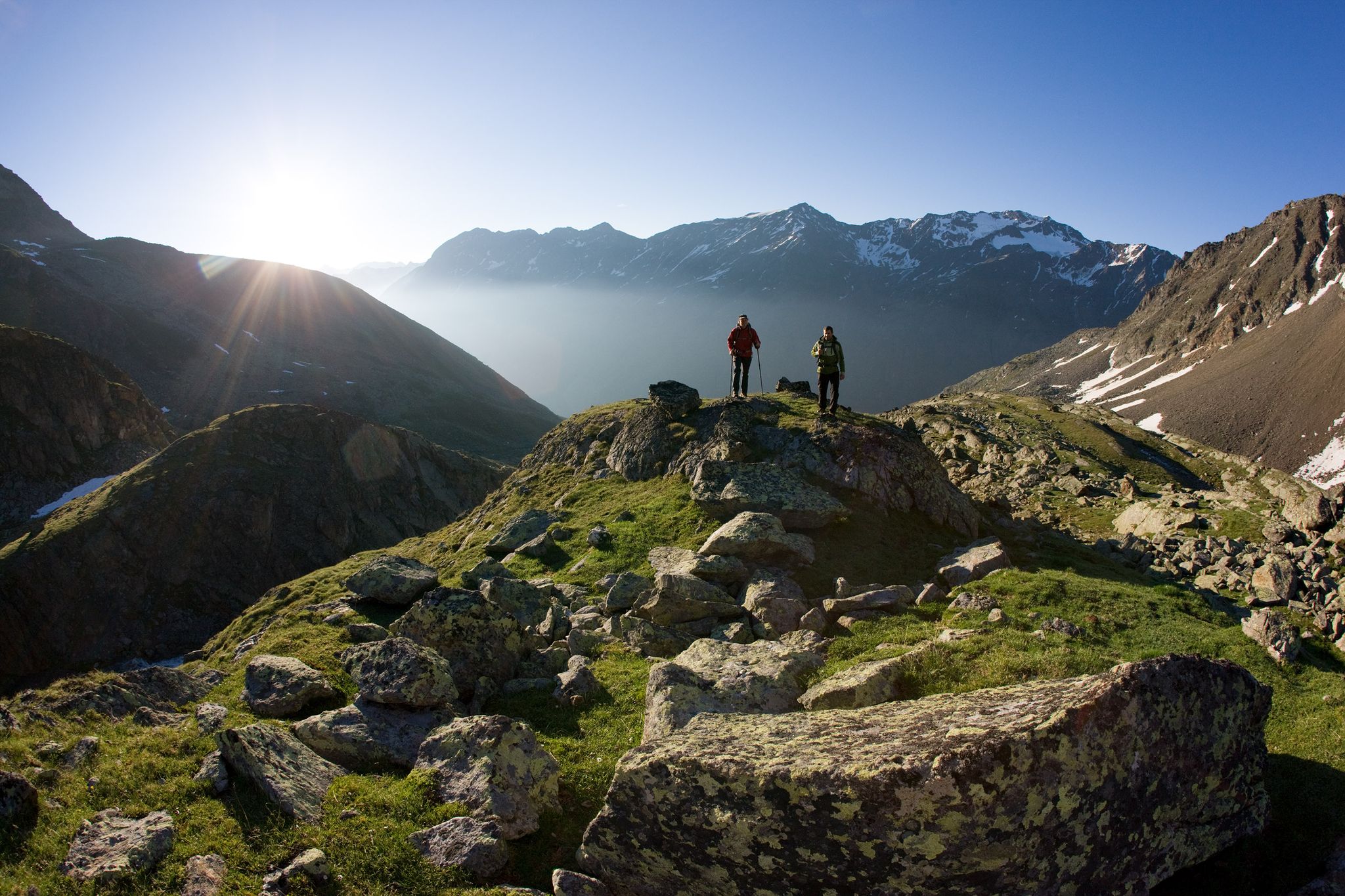
12日間Tyrolean Alpsの中のハイキング– ÖTZTALER URWEG trail

オーストリアを東西に渡るアルプスの冒険
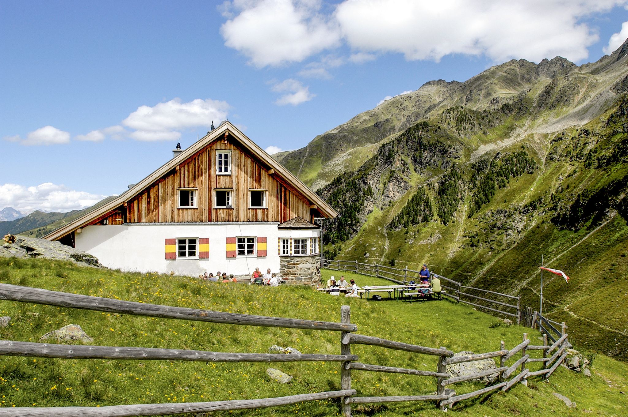
ゼルラインアルプスを7日間-ゼルライナー・ヒューテンルンデ
エッツタールでのの他の冒険


コミュニティからのヒント

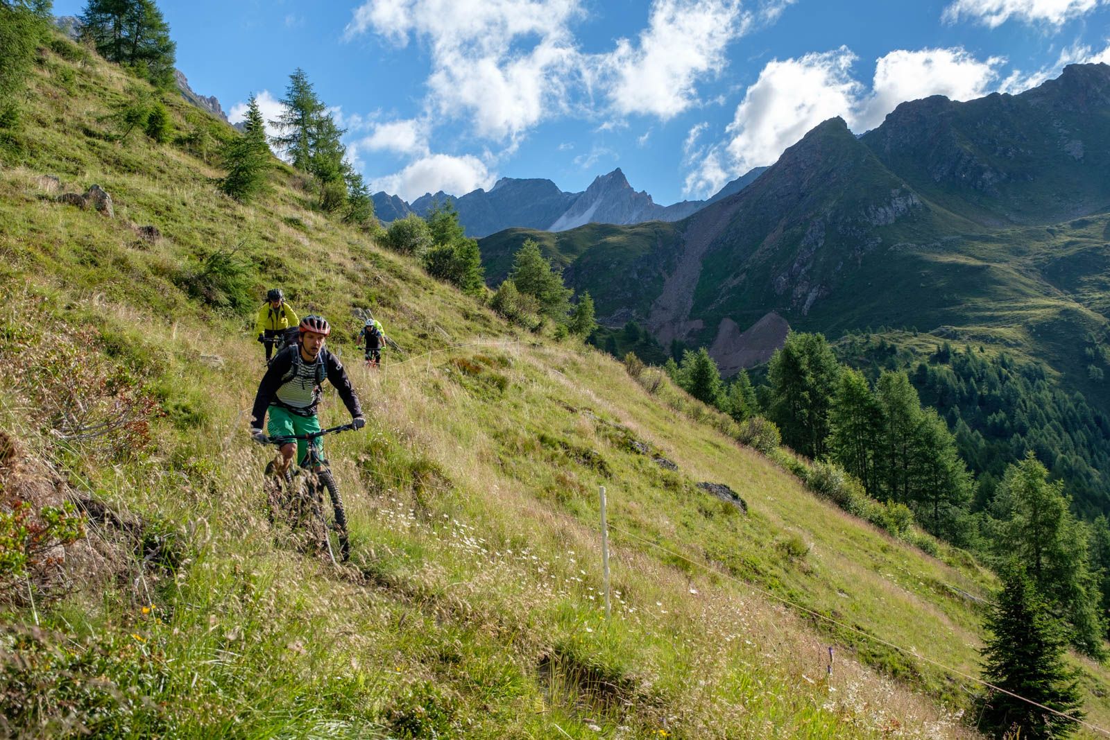
最初の高度を獲得しました – 今はリズムを見つけてティメルスヨッホに向かって進む時です。🚴♂️💪 ここから登りはますます印象的になります!⛰️
1
0

Timmelsjochの頂上の十字架は、標高2,509メートルのオーストリアとイタリアの間のアルプス国境検問所の峠の真上にあります。峠道のすぐ上にある岩の多い丘の上にあり、そこにある博物館建築物からは、Ötztaler AlpenとPasseiertalの素晴らしいパノラマが望めます。
4
0

What a panorama and what a feeling of accomplishment to have conquered the pass by bike.
0
0

A relatively straightforward ascent via the Hohe Egg and the west ridge with occasional easy scrambling (I). The ascent or descent via the east ridge is prone to rockfall due to loose scree ⚠️ and is technically more demanding (II).
1
0

The Zwieselbachjoch, at 2,868 m, connects the Winnebachseehütte and the Schweinfurter Hütte. I was here on July 9, 1925, with about 30 cm of fresh snow. In good conditions, it's usually a pass that's easily accessible without any major difficulties, but for me this morning, the climb from the Winnebachseehütte was a strenuous one. I'm alone and the first one up.
1
0

Weather was bad but the descent was magnificent
0
0

It's quite nice to drive over😀. Note: For cars it costs 19 € at the toll station above.
0
0

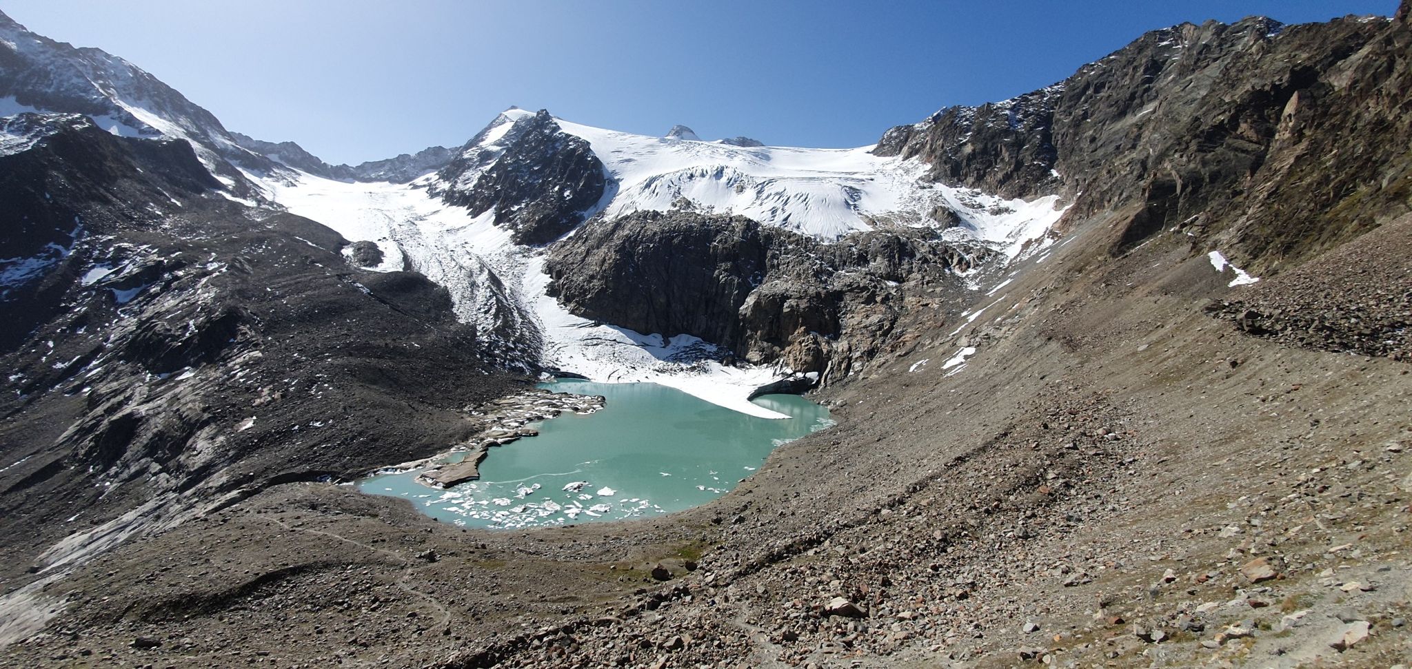
https://youtu.be/K2k9R-1sMt4 FROM THE GLACIER TO THE MOUNTAINEERING VILLAGE Enjoy the high alpine area and unobstructed views of the Upper Ötztal without any climbs - this tour makes it possible. Hikers find themselves at eye level with the glaciated summit ridges and roam fascinating, pristine mountain landscapes. Add to favorites Share The red (moderately difficult) panoramic hike begins at the Tiefenbach glacier high above Sölden and is also suitable for families and leisurely mountaineers. From the starting point at around 2,800 m, the approx. 11 km long high-altitude trail leads down to the mountaineering village of Vent at around 1,900 m, with most of the downhill metres falling in the last third of the tour. Before that, the hiking trail runs from the glacier over the slopes of Mutboden, Weißkar and Sonnenberg to lush alpine meadows, and at every turn the magnificent view invites you to pause. Always in view: the Weißkamm and the opposite mountain ridges from the Nederkogel to the Grosser Ramolkogel. Anyone who sets off in the early hours of the morning will be rewarded with magical lighting and absolute mountain solitude. But even a little later, the path remains pleasantly quiet. Hikers reach a highlight at the Weißkar, where a green mountain lake nestles in a hollow. After around 4.5 hours of walking, the inns in the quaint mountaineering village of Vent are just the thing to restore energy levels and reflect on the day over some tasty treats. Tip: You should only start the high-altitude panoramic trail if the weather forecast is stable, as there is no option to descend into the valley early. With the Ötztal Inside Summer Card, the bus rides from Sölden to the Tiefenbachferner and the return journey from Vent are free. Source: https://www.soelden.com/de/sommer/wandern-bergsteigen/wanderrouten-routen/wanderhighlights/hoehenpanoramaweg-tiefenbach-vent.html
1
0

komootモバイルアプリでインスピレーションを得よう


さらに探索
これらのガイドでさらに壮大な山道を見てみましょうエッツタールでの:
