リオグアダルキビルトラモスーペリアのおすすめウォーキング&ハイキングルート
4.7
(32)
195
ハイカー
11
ハイキング
リオグアダルキビルトラモスーペリアでのハイキングに出かけて、ラ・ロマのこのエリアを探索してみませんか?このガイドでご紹介するのは、komootがリオグアダルキビルトラモスーペリアでのハイキング・ウォーキングルートのコレクション全体を評価して選び抜いた、このエリアの人気ハイキングルートです。あなたに合った でのハイキングを見つけるには、他のユーザーがアップロードした役立つ情報や写真を閲覧し、各ルートに関するみんなの意見やコメントを参考にしましょう。
最終更新日: 10月 8, 2026
4.2
(9)
42
ハイカー
5.79km
02:05
330m
330m
Hike the moderate 3.6-mile La Osera Trail in Sierras de Cazorla, Segura y Las Villas Natural Park, featuring stunning waterfalls.
4.4
(7)
22
ハイカー
8.65km
02:27
190m
200m
中程度のハイキング. ある程度のフィットネスレベルが必要です。 進みやすいルートです。あらゆるスキルレベルに適しています。

5.0
(3)
16
ハイカー
17.3km
05:19
610m
610m
Hike the difficult 10.7-mile Charco la Pringue circular trail in Cazorla, Segura y Las Villas National Park, taking about 5 hours and 18 min
4.3
(10)
48
ハイカー
6.51km
02:27
420m
420m
中程度のハイキング. ある程度のフィットネスレベルが必要です。 進みやすいルートです。あらゆるスキルレベルに適しています。
14
ハイカー
4.42km
01:40
270m
270m
初級者向けハイキング. あらゆるフィットネスレベルに適しています。 進みやすいルートです。あらゆるスキルレベルに適しています。
5.0
(1)
17
ハイカー
3.82km
01:05
90m
90m
初級者向けハイキング. あらゆるフィットネスレベルに適しています。 進みやすいルートです。あらゆるスキルレベルに適しています。
5.0
(1)
14
ハイカー
4.86km
01:28
170m
170m
初級者向けハイキング. あらゆるフィットネスレベルに適しています。 進みやすいルートです。あらゆるスキルレベルに適しています。
5
ハイカー
5.15km
01:28
120m
120m
初級者向けハイキング. あらゆるフィットネスレベルに適しています。 進みやすいルートです。あらゆるスキルレベルに適しています。
さらに多くのルートや他のユーザーのおすすめ情報を確認できます。
すでにアカウントをお持ちですか?
おすすめのツアーは他のkomootユーザーが実際に経験した何千ものアクティビティに基づいています。
無料アカウントで今日から始めよう
次の冒険が待っています。
コミュニティからのヒント


It is one of the many waterfalls in this gorge, and because the reservoir is not yet full of water, the falls are very weak, although they can still be enjoyed.
12
0
It is one of the many waterfalls in this gorge, and because the reservoir is not yet full of water, the falls are very weak, although they can still be enjoyed.
13
0
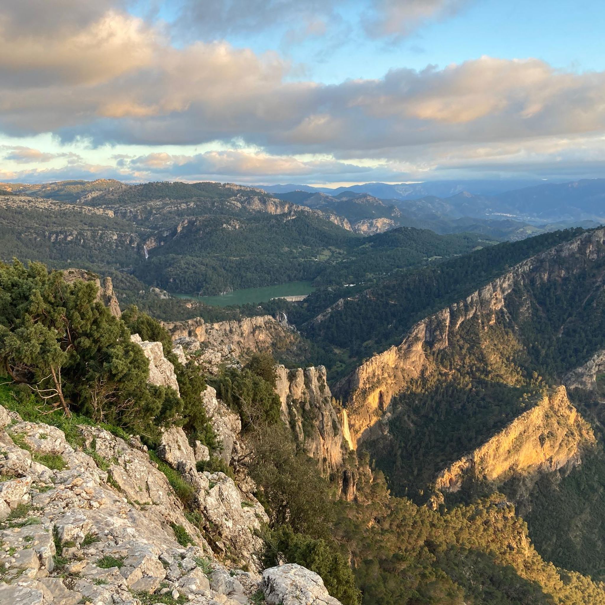
This reservoir, dedicated to storing water for human consumption, is closed to swimming and recreational boats. It is fed by the Aguascebas, Fuente del Tajo, and Aguascebas del Chorro Gil streams, located in the municipality of Villacarrillo. Located within the Cazorla, Segura y las Villas Natural Park, it is a small reservoir that can hold up to 6.37 hm3.
12
0
We're at the beginning of the Osera trail, where the sign announces and informs us of the difficulty of the route, as well as the distance and elevation gain. We're also advised to be properly equipped with hiking shoes and appropriate clothing. However, there are always people who venture onto the trail without these precautions, and they obviously have a hard time. As a cyclist, I don't recommend doing this on a bike for many reasons, including the steep gradient and the technical difficulty required for this route. However, it's advisable to bring a camera or mobile phone to take photos, as it is spectacularly beautiful.
12
0
The name does not really honor the place, because it is an area where a small water reservoir is produced, "without oil" 🤭 but it is an ideal area for bathing and resting. From there begins an endless climb towards one of the most beautiful areas of the mountains: the refuge of La Parra
1
0

It is possible to go hiking in the surroundings through short routes along the path that runs parallel to the river. Some 200m downstream on the left bank is the mouth of the Tranco reservoir drainage tunnel, where the water comes out turbulently.
11
0

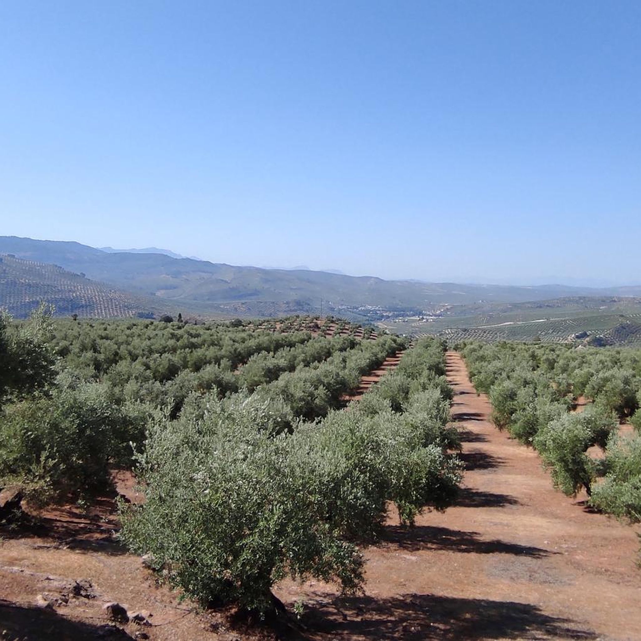
The town of Villanueva del Arzobispo is located in the Sierra de las Cuatro Villas, surrounded by olive groves and cereal fields.
2
0
リオグアダルキビルトラモスーペリアでのの人気観光スポット

komootモバイルアプリでインスピレーションを得よう


さらに探索
他の地域の最高のハイキングを見てみましょう。
