リオグアダルキビルトラモスーペリアのおすすめランニングルート
3.5
(5)
61
ランナー
13
ランニング
リオグアダルキビルトラモスーペリアでランニングを楽しめば、このエリアをより深く知ることができます。ランニングに適した美しいルートが見つかるように、komootがリオグアダルキビルトラモスーペリアでのルートのコレクション全体を評価して選び抜いた、人気ランニングトレイルをご紹介します。ルートをクリックして詳細を表示し、他のユーザーがアップロードした役立つ情報や写真を閲覧しましょう。
最終更新日: 10月 14, 2026
中程度のジョギング. ある程度のフィットネスレベルが必要です。 全般的に舗装された状態です。あらゆるスキルレベルに適しています。
9.10km
01:04
290m
290m
中程度のジョギング. ある程度のフィットネスレベルが必要です。 全般的に舗装された状態です。あらゆるスキルレベルに適しています。

4.78km
00:35
20m
20m
初級者向けランニング. あらゆるフィットネスレベルに適しています。 全般的に舗装された状態です。あらゆるスキルレベルに適しています。
5
ランナー
8.87km
01:00
120m
120m
中程度のジョギング. ある程度のフィットネスレベルが必要です。 全般的に舗装された状態です。あらゆるスキルレベルに適しています。
3
ランナー
5.21km
00:34
120m
120m
中程度のジョギング. ある程度のフィットネスレベルが必要です。 全般的に舗装された状態です。あらゆるスキルレベルに適しています。
さらに多くのルートや他のユーザーのおすすめ情報を確認できます。
すでにアカウントをお持ちですか?
おすすめのツアーは他のkomootユーザーが実際に経験した何千ものアクティビティに基づいています。
無料アカウントで今日から始めよう
次の冒険が待っています。
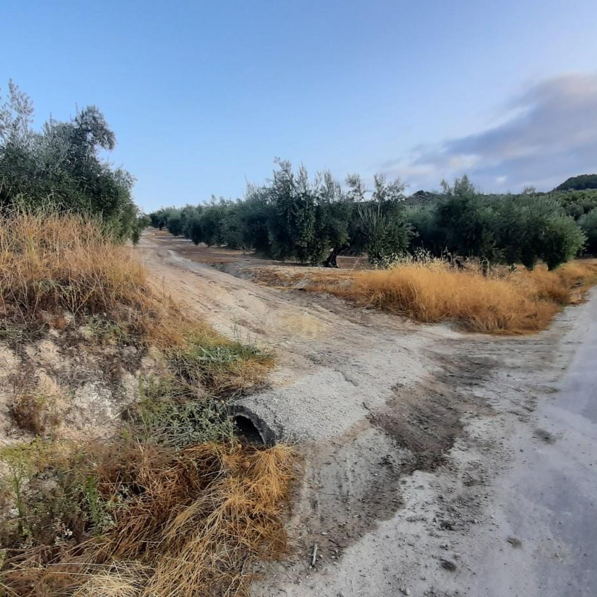
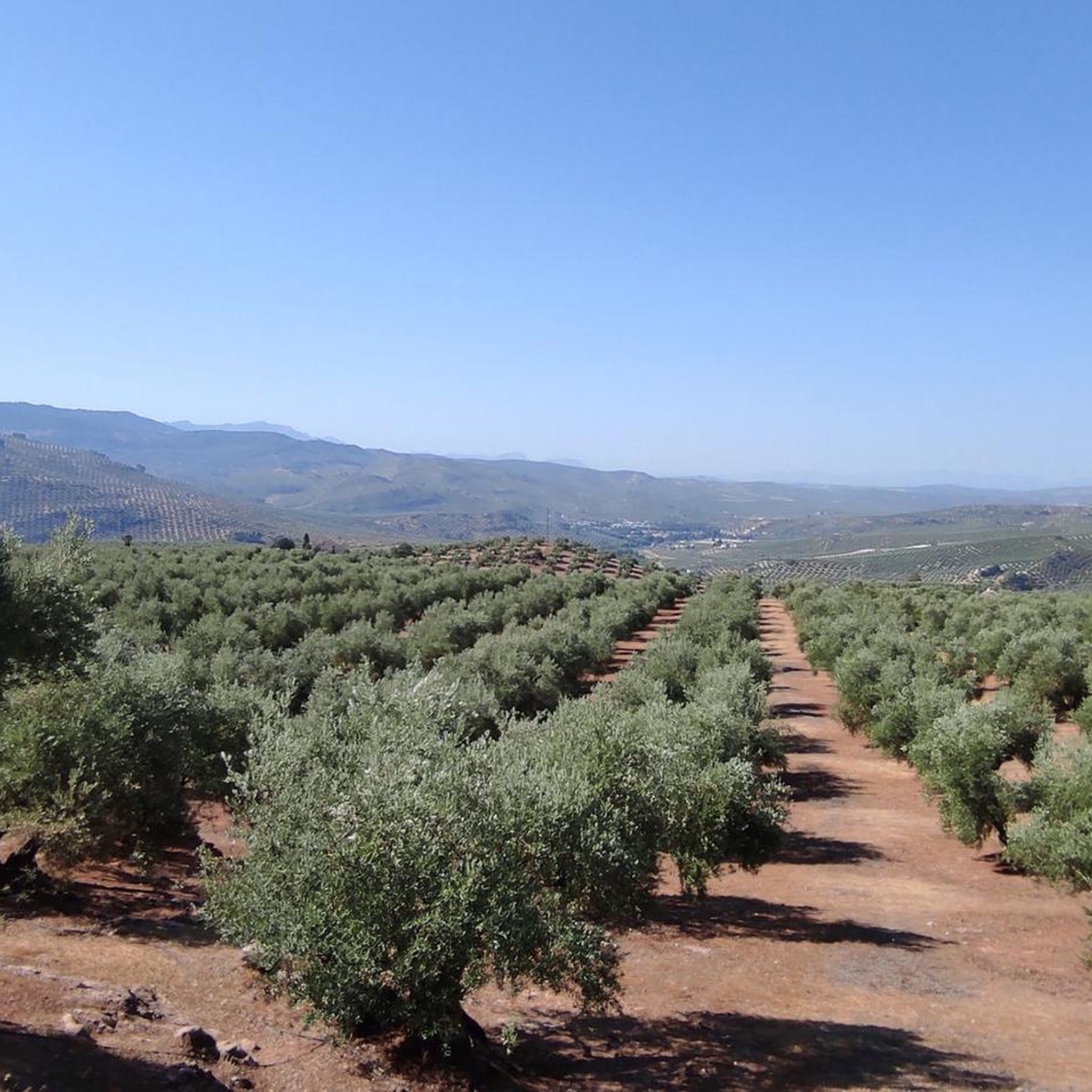
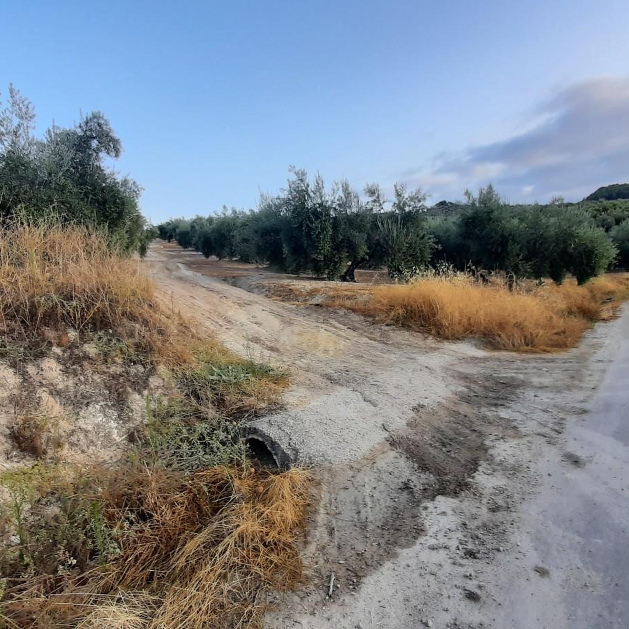
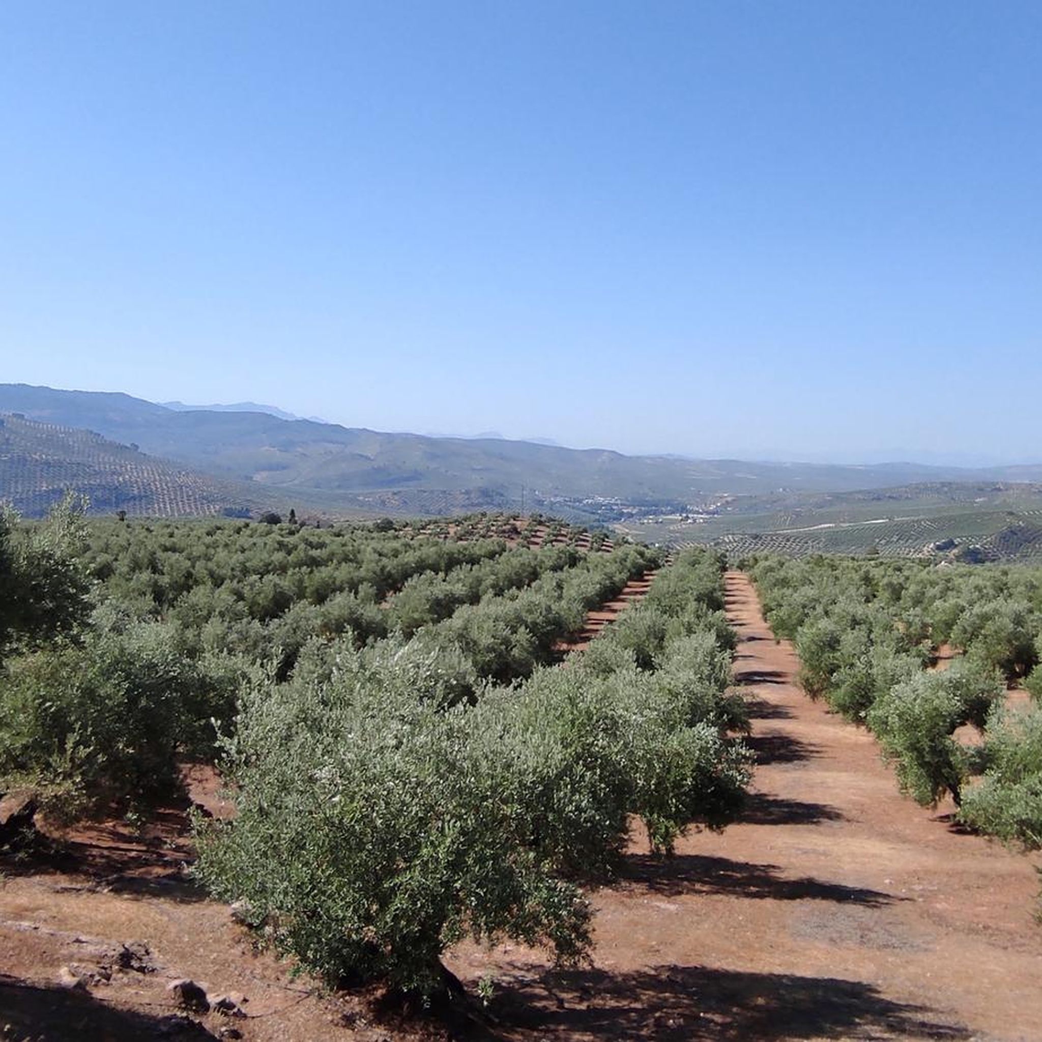
コミュニティからのヒント

Beautiful and small town that is crossed by the same Río Guadalquivir at this step at the entrance to the province of Granada by one of its ends.
0
0
A path that allows us to see the entire bank of the Río Guadalquivir, in areas that are more open to vegetation or more closed, depending on the area. The path goes to the Cortijo del Pósito from the Puente de la Cerrada.
0
0
Beautiful road along the riverbed of the Río Guadalquivir that comes as its name indicates, full of life in its path. The path is perfect for running in peace in the middle of nature.
0
0

Santo Tomé is located on the slopes of the Sierra de Cazorla, in the valley of the Guadalquivir river. passing the center of the village you can see the bell tower of the stone church, dating from the fourteenth century.
1
0
A small town is located in the hills above Úbeda, near the mountains of the Sierra de las Cuatro Villas, overlooking the sea of olive trees of the surrounding landscape. The origin of the town dates back to 1212 and at the end of the Battle of Las Navas de Tolosa.
1
0
The town of Villanueva del Arzobispo is located in the Sierra de las Cuatro Villas, surrounded by olive groves and cereal fields.
2
0

Spanish town and municipality located in the southwestern part of the Las Villas region, in the province of Jaén. The municipality of Villacarrillense includes the population centers of Villacarrillo, which holds the capital of the region of Las Villas, Mogón, La Caleruela, Agrupación de Mogón and Arroturas.
1
0
リオグアダルキビルトラモスーペリアでのの人気観光スポット

komootモバイルアプリでインスピレーションを得よう


さらに探索
他の地域の最高のランニングトレイル & ルートを見てみましょう。
