ノースヨークムーアズ国立公園のおすすめランニングルート
4.4
(127)
9,266
ランナー
599
ランニング
ノースヨークムーアズ国立公園でランニングを楽しめば、このエリアをより深く知ることができます。ランニングに適した美しいルートが見つかるように、komootがノースヨークムーアズ国立公園でのルートのコレクション全体を評価して選び抜いた、人気ランニングトレイルをご紹介します。ルートをクリックして詳細を表示し、他のユーザーがアップロードした役立つ情報や写真を閲覧しましょう。
最終更新日: 8月 30, 2026
4.0
(2)
690
ランナー
5.54km
00:36
50m
60m
中程度のジョギング. ある程度のフィットネスレベルが必要です。 全般的に舗装された状態です。あらゆるスキルレベルに適しています。
4.6
(10)
95
ランナー
9.78km
01:09
120m
120m
中程度のジョギング. ある程度のフィットネスレベルが必要です。 全般的に舗装された状態です。あらゆるスキルレベルに適しています。

無料新規登録
56
ランナー
11.2km
01:26
330m
330m
難しいジョギング. 標準以上のフィットネスレベルが必要です。 全般的に進みやすいルートです。一部で、安定して歩行できる技術が必要です。
45
ランナー
10.3km
01:07
140m
150m
中程度のジョギング. ある程度のフィットネスレベルが必要です。 全般的に進みやすいルートです。一部で、安定して歩行できる技術が必要です。
5.0
(3)
30
ランナー
14.2km
01:51
490m
490m
難しいジョギング. 標準以上のフィットネスレベルが必要です。 全般的に舗装された状態です。あらゆるスキルレベルに適しています。
さらに多くのルートや他のユーザーのおすすめ情報を確認できます。
無料新規登録
すでにアカウントをお持ちですか?
おすすめのツアーは他のkomootユーザーが実際に経験した何千ものアクティビティに基づいています。
無料アカウントで今日から始めよう
次の冒険が待っています。
ログインまたは登録
ノースヨークムーアズ国立公園周辺で人気
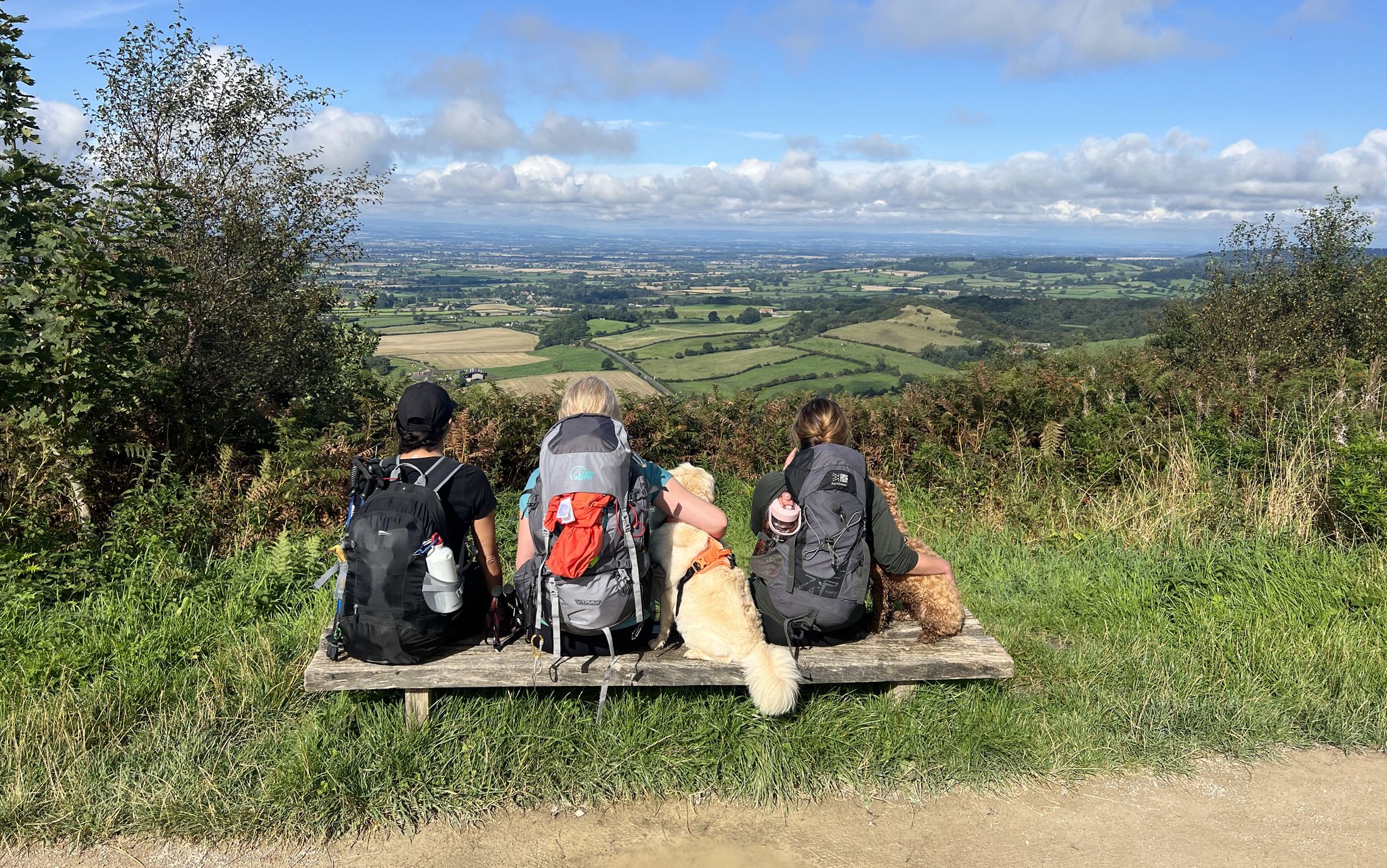
ノースヨークムールズ国立公園を渡る - パークを歩く

ヨークシャーの風景の輝きを発見せよ - Ebor Way
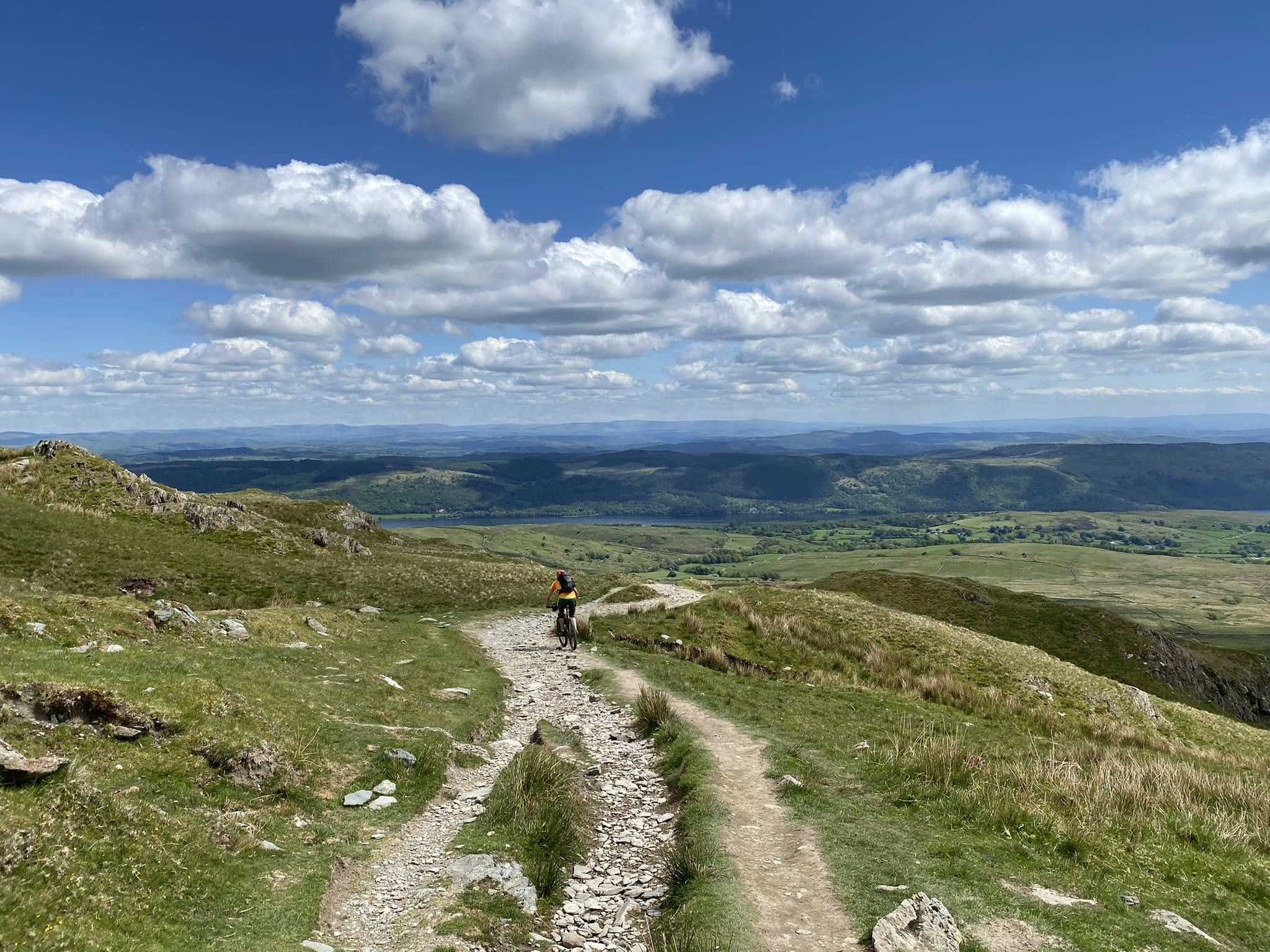
レイク、デイルズ、ムーアーズ– ティム・ウッドコックのコーストトゥコーストのオフロードルート
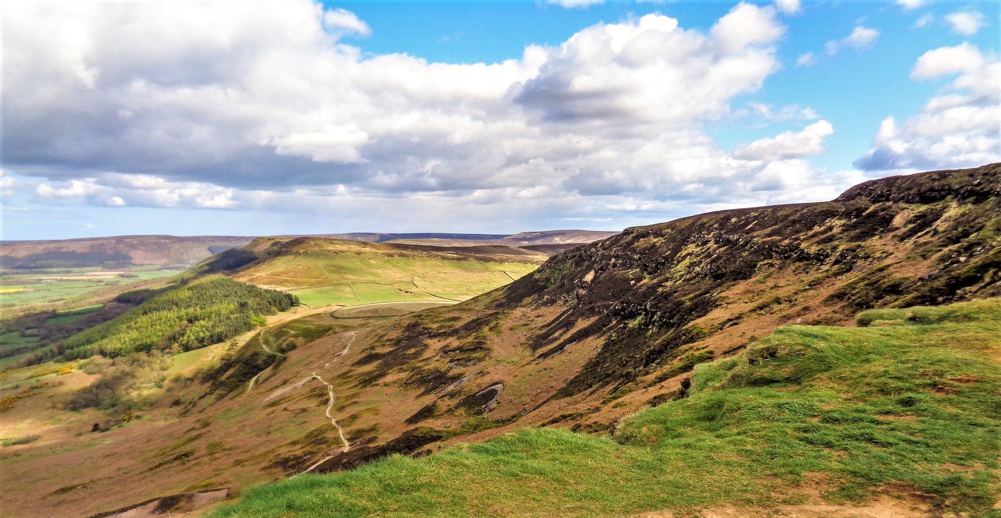
ノースヨークムーアズの野生で幽霊のような部分をハイキング — ライクウェイクウォーク
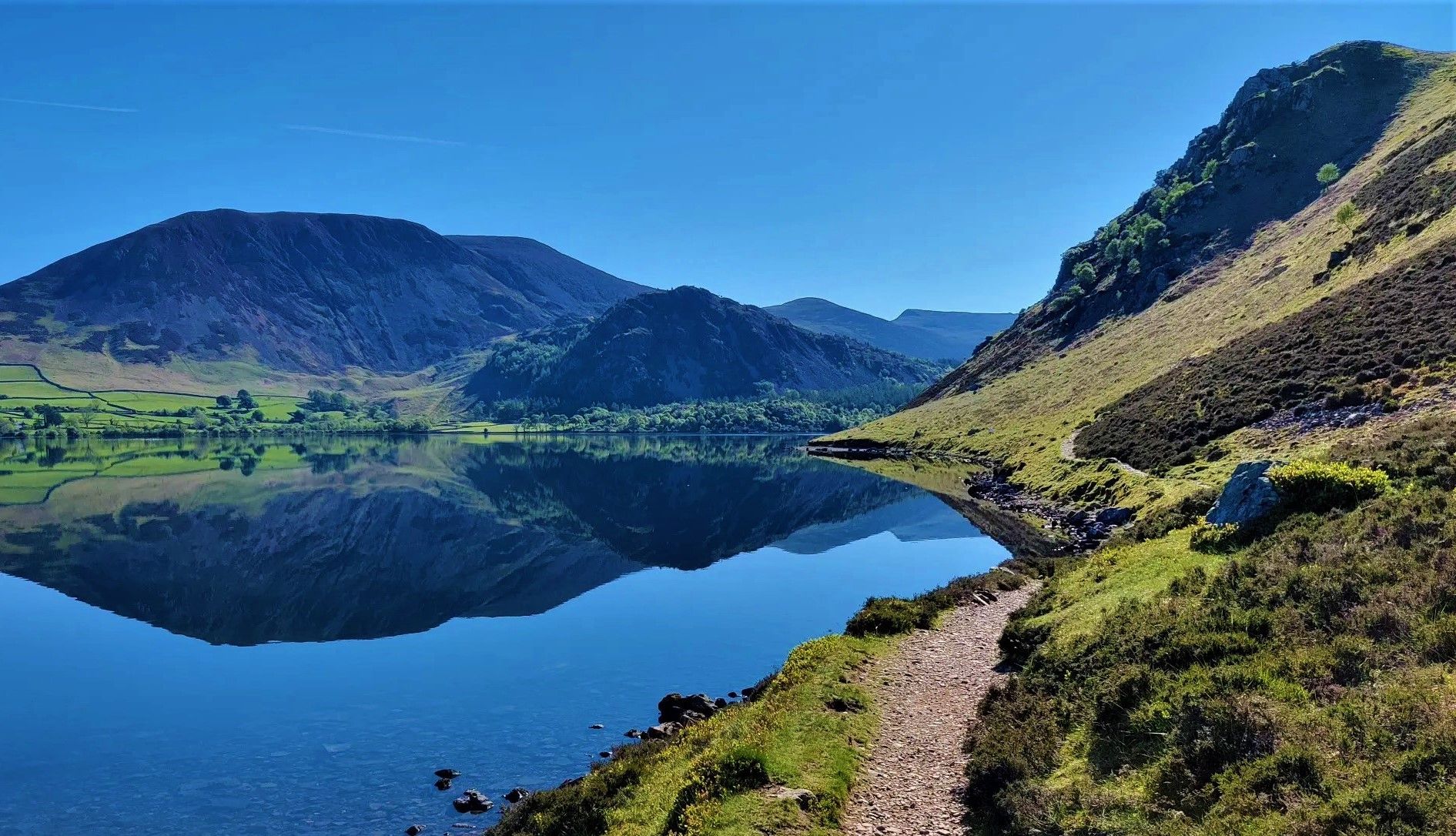
イングランドを横断して13ステージでハイキング — 海岸から海岸まで
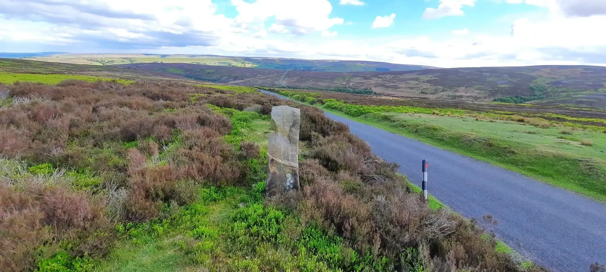
Road to Rail – Cycling in the North York Moors
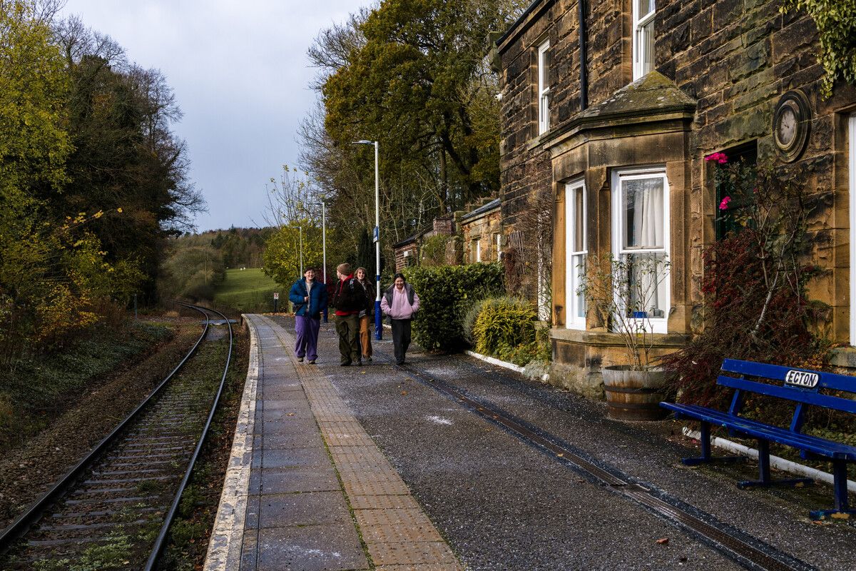
Explore the North York Moors on foot – beautiful hikes by train

Sutton Bank マウンテンバイクトレイル

North York Moors Gravel and Explorer Routes
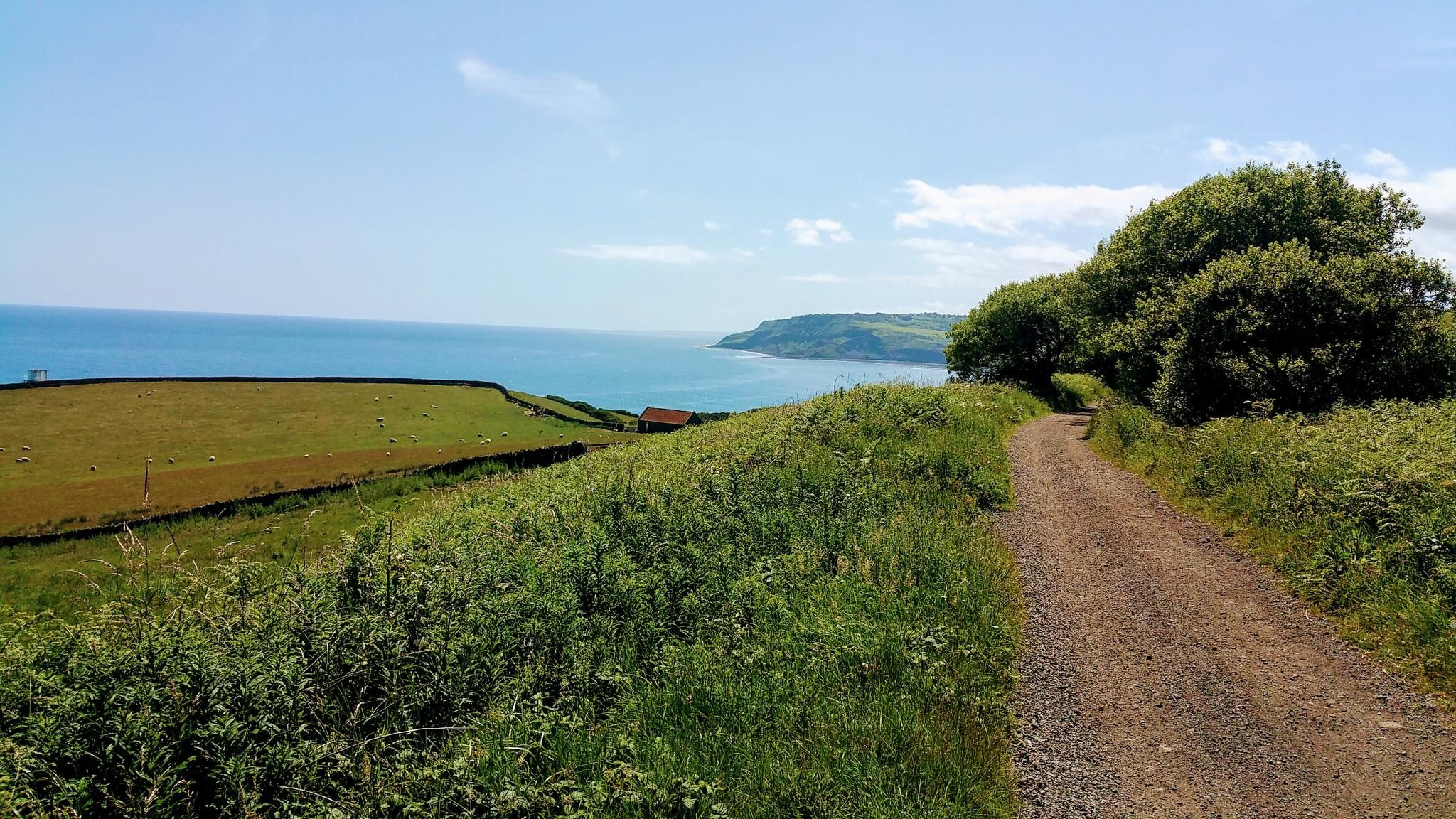
ノースヨークムールズ国立公園のグラベルサイクリング
ノースヨークムーアズ国立公園でのの他の冒険


コミュニティからのヒント

典型的な古いイギリスの天気になってしまい、霧で何も見えませんでした
0
0

Until 1912, Roseberry Topping had a smooth, sugarloaf‑like peak. A geological fault combined with underground mining caused a massive collapse, giving the summit its modern jagged profile. The climb up from the car park is steep and can be very busy, even before sunrise in winter where you can see a small procession of torches slowly ascending.
1
0
Great views and early on a Sunday morning is best to beat the crowds. The obelisk is hollow and originally had a doorway you could walk through, before it was sealed during a 19th‑century restoration. A lightning strike in 1960 almost split the monument down the middle after the lightning conductor installed in 1895 rusted away. Earlier lightning strikes in the 19th century had already blown off the original doorway and obliterated the cast‑iron plaques. Fun fact - allegedly - the monument contains a hidden time capsule. When the foundation stone was laid in 1827, commemorative items were placed inside, including a portrait of Captain Cook and a glass plate etched with details of the event.
1
0

Directly in front of the monument, take a stroll about 30-50 paces and you will have some very decent views of the area!
0
0
Lots of view points, people rock climbing and the up and downs test you as they are short, but a touch punchy for their short elevation!
0
0

Just off the Cleveland Way and about halfway between Carr Ridge to the west and Bloworth Crossing to the east, spectacular views all around on a clear day.
1
0
One of many viewpoints along the route that runs from Saltergate Car Park along Old Wife's Way, passing Newgate Brow and Crosscliff Brow on the way to Jerry Noddle. An easy and worthwhile route to follow. Great quality track and quieter than the middle of Dalby Forest, allowing access to Langdale Forest if you are planning on covering some extra distance.
1
0
ノースヨークムーアズ国立公園でのの人気ルート
ノースヨークムーアズ国立公園でのの人気観光スポット

komootモバイルアプリでインスピレーションを得よう


さらに探索
他の地域の最高のランニングトレイル & ルートを見てみましょう。
