ルート

プランナー

機能

アップデート

App

ログインまたはサインアップ

アプリを入手

ログインまたはサインアップ

ルート
ハイキング
イタリア
バジリカータ
ポテンツァ

アペニン・ルカーノ-ヴァル・ダグリ-ラゴネグレス国立公園

ルート
ハイキング
イタリア
バジリカータ
ポテンツァ

アペニン・ルカーノ-ヴァル・ダグリ-ラゴネグレス国立公園

アペニン・ルカーノ-ヴァル・ダグリ-ラゴネグレス国立公園のおすすめウォーキング&ハイキングルート

4.4

(567)

2,479

ハイカー

67

ハイキング

アペニン・ルカーノ-ヴァル・ダグリ-ラゴネグレス国立公園でおすすめのハイキングやウォーキングをお探しですか?アペニン・ルカーノ-ヴァル・ダグリ-ラゴネグレス国立公園が誇るこの美しい自然公園周辺のルートを集めたkomootコレクションを参考にしてください。 ここでは、アペニン・ルカーノ-ヴァル・ダグリ-ラゴネグレス国立公園の人気ハイキングコースを紹介しています。魅力的なルートが見つかったら、さっそく冒険に出かけましょう。

最終更新日: 7月 20, 2026

4.6

(16)

56

ハイカー

#1.

モンテ・デル・パパからラゴ・シリノまわりのループ

8.38km

02:58

480m

480m

Embark on the Monte del Papa from Lago Sirino loop tour, a moderate hike spanning 5.2 miles (8.4 km) with an elevation gain of 1563 feet (476 metres). This route takes you through enchanting beech forests, offering a mix of paved sections, designated hiking paths, and unpaved terrain. As you ascend, the path can become stony and steep, especially after the forest, leading to the rocky summit of Monte del Papa where you will find spectacular panoramic views extending to the Gulf of Policastro and other mountain peaks. Expect to complete this journey in about 2 hours and 57 minutes.

While generally accessible, good fitness is recommended due to some challenging sections, particularly the steeper parts after the forest and the rocky summit area. The descent via the Spalla dell'Imperatrice crest might also require some experience, as the path within the woods can be less visible. Be aware that the area receives significant precipitation, and snow can linger on the northern slopes for extended periods, so plan your visit accordingly.

Monte del Papa is the highest peak of the Sirino massif, reaching 2005 meters, and is located within the Appennino Lucano-Val d'Agri-Lagonegrese National Park. The summit is part of the Lucan section of the Sentiero Italia, a long-distance trail. You will also get a beautiful view of Lago Laudemio, Italy's southernmost glacial lake, situated at the base of Monte del Papa, adding a unique natural feature to your hike.

デバイスでナビ

スマートフォンに送信

保存

中程度

Embark on a moderate hike to Monte Calvelluzzo, a rewarding journey within the Parco Nazionale dell'Appennino Lucano Val d'Agri e Lagonegrese. Starting from Piana del Lago, you will follow a comfortable forest track through a majestic beech forest, where you might spot holly. The trail then transitions to a climbing path, leading to a long, panoramic crest with gentle ascents and descents towards the summit. This 8.5-mile (13.6 km) route involves 1437 feet (438 metres) of elevation gain and typically takes about 4 hours and 5 minutes to complete, offering spectacular 360-degree views from the exposed crest and peak.

To plan your visit, begin your adventure at Piana del Lago, situated at around 1300 metres. The trail is generally considered moderate and requires good fitness, but it is suitable for most skill levels. Be aware that during winter, the trail can be covered in snow, and the exposed ridge may experience strong winds and icy conditions. If you plan to hike in winter, you might need specialized equipment like crampons and an ice axe, along with a good sense of orientation, to navigate safely.

This trail offers an immersive experience in the natural beauty of the Appennino Lucano National Park, showcasing its diverse ecosystems from the tranquil lake to the alpine-like summit. The name Calvelluzzo, meaning "bald," aptly describes the exposed and often windy nature of its upper reaches, a distinctive feature of the mountain. While it is one of the park's lesser-known peaks, the extensive panoramic views from the summit, encompassing surrounding mountains and distant towns, make it a truly notable and accessible way to experience the region's splendor.

中程度
guide_signup
私たちがkomootモバイルアプリで道を示します
無料の komoot アカウントがあれば、無限のアウトドアコースを簡単に見つけてカスタマイズし、ナビで案内できます。

無料新規登録

You will hike through diverse mountainous terrain, enjoying expansive views of the green Val d'Agri valley with its mountain peaks, wooded slopes, and cultivated fields. The path guides you through forests before opening up to these wide panoramas, especially as you approach Monte Viggiano. This easy hike covers 1.9 miles (3.1 km) with an elevation gain of 617 feet (188 metres), taking about 1 hour and 7 minutes to complete.

The route is considered easy, making it suitable for most fitness levels. Parking is generally available near the trailhead, ensuring straightforward access for your visit. Since some sections are open, remember to bring a hat if you are hiking in hot weather due to limited tree cover.

This trail offers a unique blend of natural beauty and cultural significance within the Parco Nazionale dell'Appennino Lucano Val d'Agri Lagonegrese. The path culminates at the revered Sanctuary of the Black Madonna of Viggiano, providing a meaningful destination for your journey.

初級

The Monte Arioso Loop from Fontana delle Brecce offers a moderate hiking adventure, covering 6.2 miles (10.0 km) with an elevation gain of 1458 feet (444 metres). You can expect to spend about 3 hours and 15 minutes on the trail. As you hike, you will wind through dense beech forests, providing ample shade for much of the journey, and pass wide clearings used for animal grazing. From the summit of Monte Arioso, you can enjoy expansive views that often include the Lucanian Dolomites, the Alburni mountains, and the vast massifs of Pollino and Sirino.

This popular route is generally classified as a moderate hike, requiring a good level of physical fitness and sure-footedness. The starting point for this loop is typically the CAI "Fontana delle Brecce" refuge, which is a well-known access point for trekkers in the area. The paths are mostly accessible, making it a straightforward choice for your next outing.

This trail is a rewarding option within the Appennino Lucano-Val d'Agri-Lagonegrese National Park. The path itself is a mix of beaten trails, dirt roads, and some undergrowth, offering varied terrain. Don't forget to look for the logbook at the top of Monte Arioso to record your visit, a unique detail that adds to the experience of reaching the summit.

中程度

Hike the easy Piana del Lago and Serra di Calvello Trail for 3.8 miles through a beech forest to panoramic ridge views in Appennino Lucano N

初級
無料新規登録すると、アペニン・ルカーノ-ヴァル・ダグリ-ラゴネグレス国立公園でのでのハイキングをさらに63件ご覧いただけます。

さらに多くのルートや他のユーザーのおすすめ情報を確認できます。

無料新規登録

すでにアカウントをお持ちですか?

おすすめのツアーは他のkomootユーザーが実際に経験した何千ものアクティビティに基づいています。

無料アカウントで今日から始めよう

次の冒険が待っています。

ログインまたは登録

アペニン・ルカーノ-ヴァル・ダグリ-ラゴネグレス国立公園周辺で人気

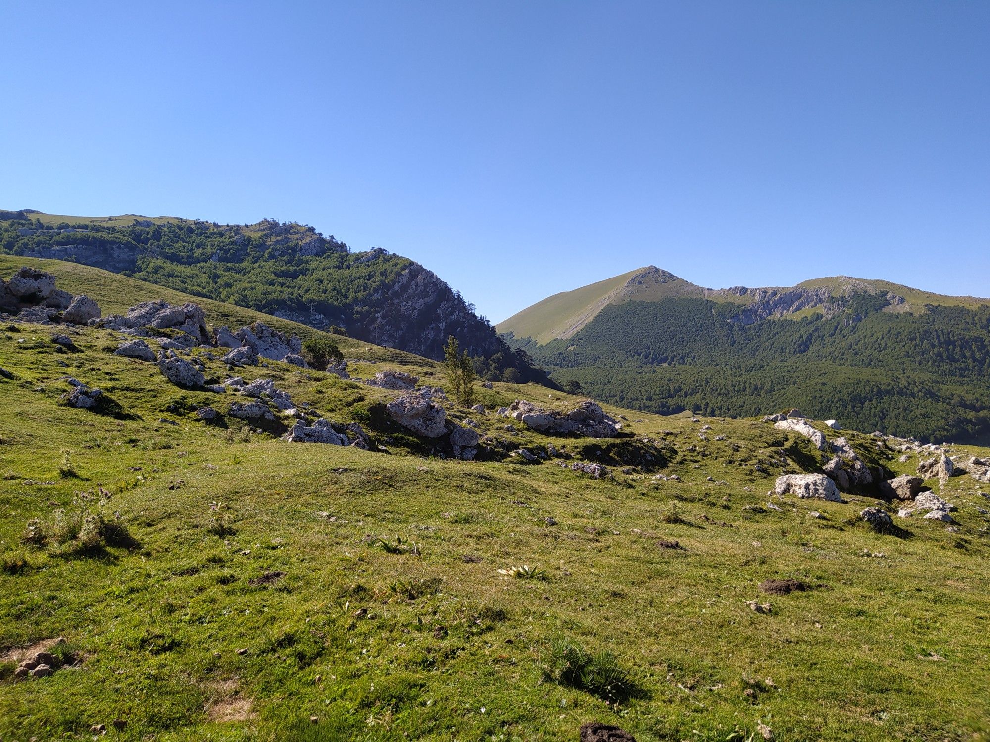
古い村と豊かな森の中で – Sentiero Italia
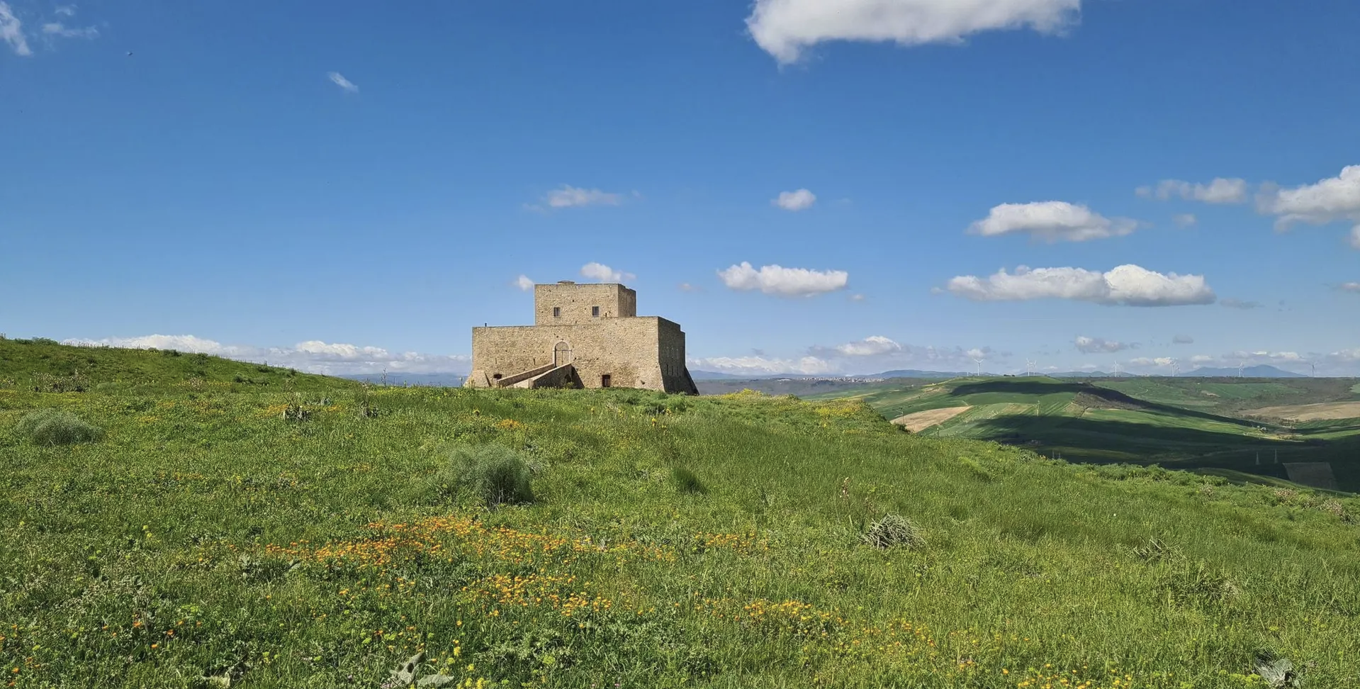
Basilicata by bike – discover itineraries in this unique land
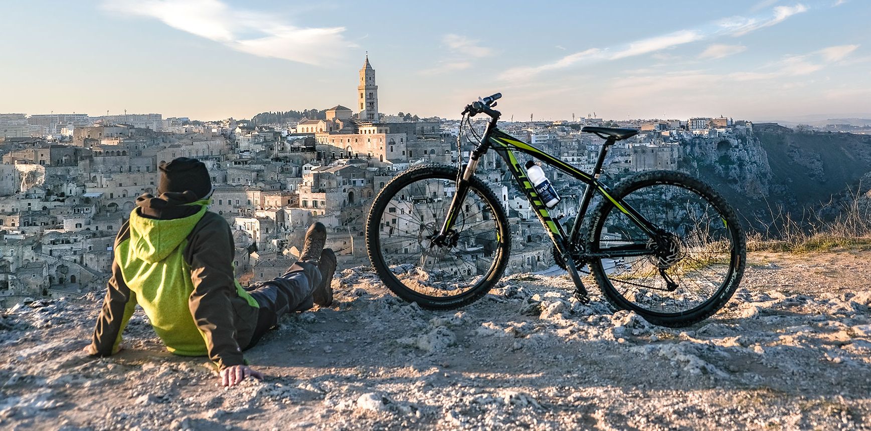
Between unspoilt nature and millenary history — Italy’s Basilicata by bike
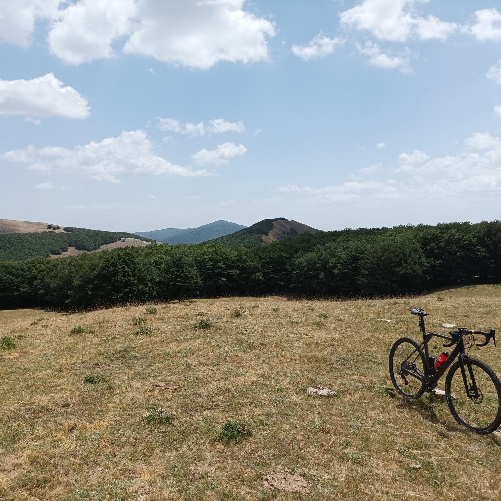
アペニン・ルカーノ-ヴァル・ダグリ-ラゴネグレス国立公園のMTBトレイル
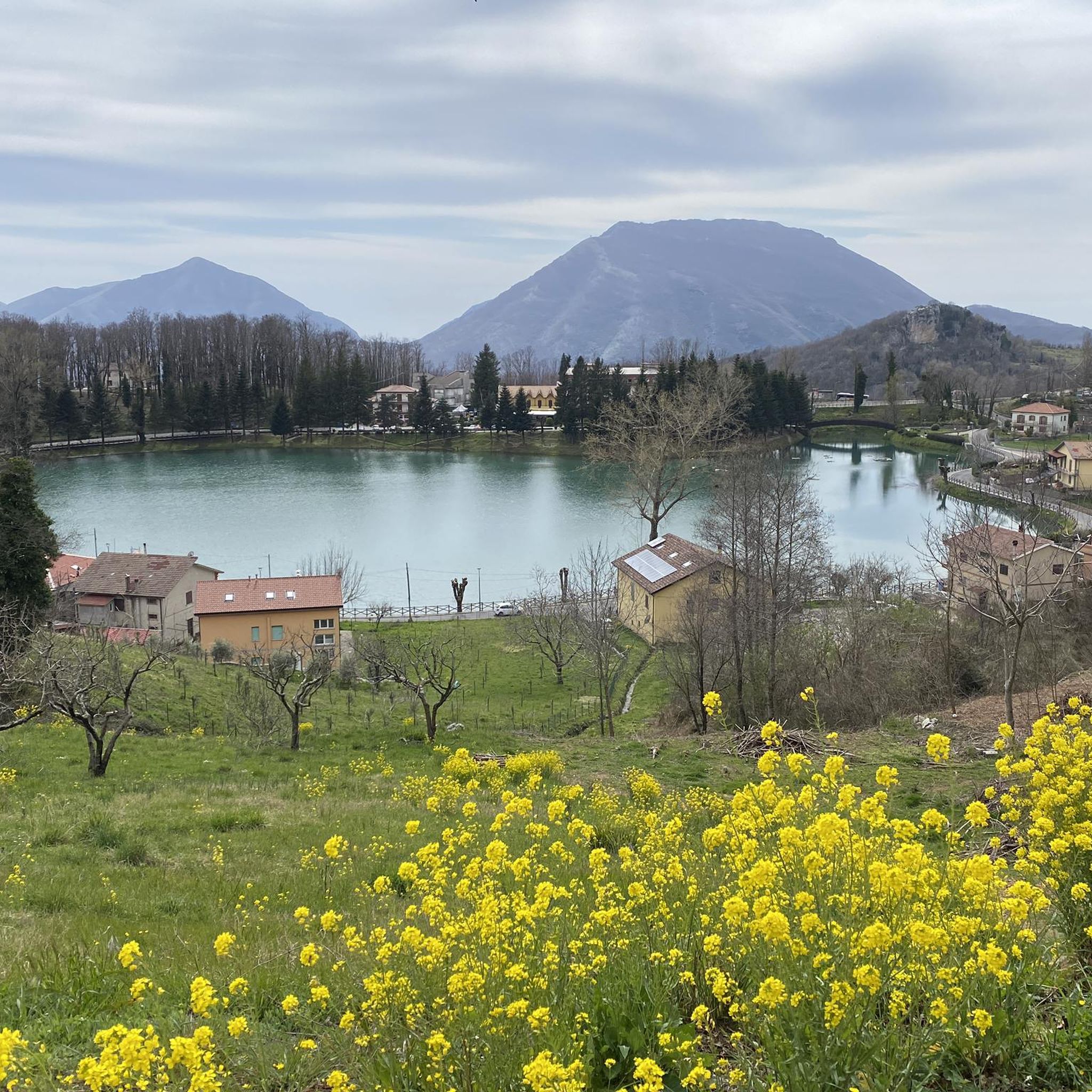
アペニン・ルカーノ-ヴァル・ダグリ-ラゴネグレス国立公園でのサイクリング
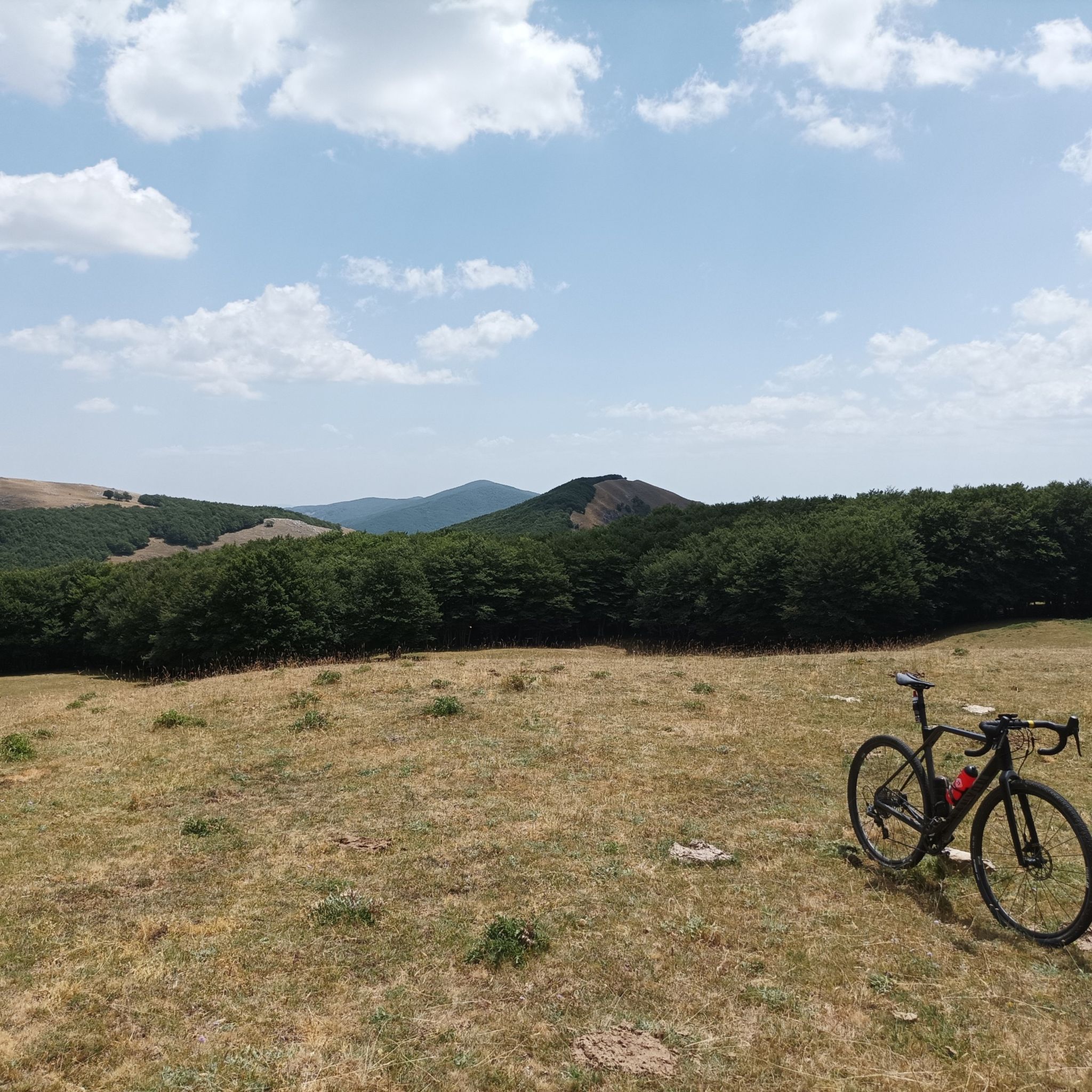
アペニン・ルカーノ-ヴァル・ダグリ-ラゴネグレス国立公園のロードバイクルート
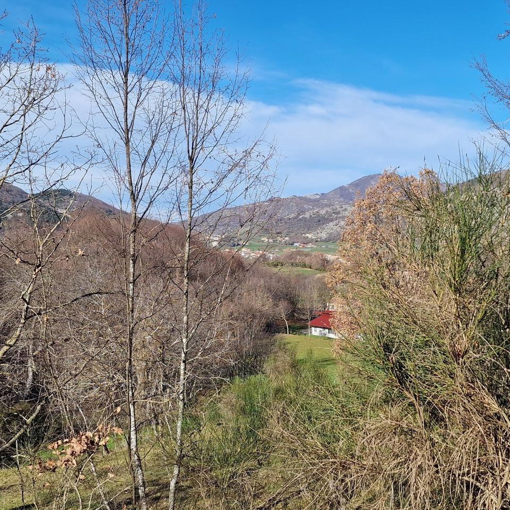
アペニン・ルカーノ-ヴァル・ダグリ-ラゴネグレス国立公園のランニングコース

アペニン・ルカーノ-ヴァル・ダグリ-ラゴネグレス国立公園でののグラベルライド

アペニン・ルカーノ-ヴァル・ダグリ-ラゴネグレス国立公園でのの他の冒険

古い村と豊かな森の中で – Sentiero Italia

ハイキングのコレクション によって

Marika Abbà

コミュニティからのヒント

Giuseppina
6月 8, 2025, Sanctuary of the Black Madonna of Viggiano

the hike is marked but not enough, but let's say it's very easy to orient yourself just go straight. it's a fairly open path, only a small stretch covered by trees, so when it's hot it's better to bring a hat. bring something to eat because I don't think there were any refreshment points. fantastic place with a peaceful atmosphere. the day I went, which was June, there were a few insects, but they were harmless.

Google翻訳による翻訳

0

0

Chiara
8月 20, 2024, Monte Arioso

A quiet walk to combine with a picnic at Fontana delle Brecce. Above you can see the abandoned ski lifts

Google翻訳による翻訳

0

0

It is the Sacro Monte of Viggiano, at 1725 m above sea level, the place where the most important Marian sanctuary in the region stands, the one dedicated to the Black Madonna, queen of Viggiano, officially proclaimed "Protector" of Basilicata in 1991 by Pope John Paul II. Holiday The celebrations in honor of the Black Madonna are divided into two moments of the year: on the first Sunday of May the statue is brought, inside a shrine, from the center of Viggiano to the sanctuary of the mountain. On the first Sunday of September, the statue does the reverse route. This celebration is preceded by a procession (of the pilgrim) held on the previous Saturday.

Google翻訳による翻訳

1

0

Edus Edus
3月 4, 2024, Monte Arioso

Relatively easy to reach, even from the city of Potenza, through beautiful paths in the woods. Absolutely worth doing!

Google翻訳による翻訳

0

0

Panoramic peak located at 1699 meters in the Lucano-Val d'Agri-Lagonegrese Apennine National Park.

Google翻訳による翻訳

1

0

A mountain that offers a wonderful view, it belongs to the Lucano-Val d'Agri-Lagonegrese Apennine National Park and is certainly one of the reference mountains for lovers of trekking and Mtb in the area.

Google翻訳による翻訳

0

0

A stupendous mountain that offers a panoramic view.

Google翻訳による翻訳

1

0

The perfect place for a ride with a panoramic view over the whole valley, a marvel.

Google翻訳による翻訳

1

0

アペニン・ルカーノ-ヴァル・ダグリ-ラゴネグレス国立公園でのの人気ルート

アペニン・ルカーノ-ヴァル・ダグリ-ラゴネグレス国立公園のファミリーハイキング

アペニン・ルカーノ-ヴァル・ダグリ-ラゴネグレス国立公園でのの人気観光スポット

Places to see

Store rating

komootモバイルアプリでインスピレーションを得よう

無料のkomootアカウントがあれば、無限のアウトドアコースを簡単に見つけてカスタマイズし、ナビで案内できます。

または

今すぐkomootに参加しよう

Store rating

さらに探索

他の地域の最高のハイキングを見てみましょう。

ポッリーノ国立公園パルコナツィオナーレデルポリーノファルデラヴィッジャネッロアブリオラカルヴェッロサンセヴェリーノルカノカンポマッジョーレマルシコ・ヌオーヴォネモリラゴネグロモリテルノグルメント・ノーヴァアルバーノディルカニアラウレンツァーナサンキーリコラパロマラテアモンテムロサルコーニキアロモンテアンジパテルノトリヴィーニョカステルメッツァーノリヴェッロInvaso di CogliandrinoカーボンSic Monte Alpi - Malboschetto Di Latronicoヴィッジャーノスピノソラトローニコカステルサラチェーノジェンツァーノディルカニアサンコスタンティーノアルバネーゼエニシダテッラノーヴァ・ディ・ポリーノZsc Monte Vultureラウリアカステッルッチョインフェリオーレオファントトラムートラピチェルノリパカンディダマルシコヴェーテレコルレート・ペルティカラサンマルティーノダグリティトカステッルッチョスーペリアアテッラアチェレンツァフォレンザトレッキナルーヴォデルモンテサンフェーレパラッツォサンゲルヴァシオバンジピニョーラピニョーラ湖デルパンターノペスコパガーノロトンダフランカヴィッラインシンニエピスコピーアBosco Dell'AquilaピエトラガッラZsc Grotticelle Di Monticchioサッソディカスタルダリオネーロ・イン・ハゲタカカステルグランデピエトラペルトーサカンチェラーラメルフィラポッラトルヴェブリンディジモンターニャルオーティバリレサンタルカンジェロサトリアーノディルカニアベラアルメントサヴォイア・ディ・ルカニアサンタンジェロ・ル・フラッテテアーナBosco Di Castiglioneロッカノーヴァサンパオロアルバネーゼアヴィリアーノミッサネッロモンテミローネヴィエトリディポテンツァヴェノーザヴァーリオ・バジリカータバルヴァーノラヴェッロブリエンツァガッリッキオノエーポリマスキートフィリアーノセニーゼセルソシモSic Lago Del Rendina

近くのアドベンチャーガイド

ヴィッジャーノでやるべきこと

background

新しいピークを征服する準備をしよう

無料でサインアップ

探検する
ルートルートプランナー機能ハイキングMTBトレイルロードバイクルートバイクパッキングサイトマップ
アプリをダウンロード
SNSでフォローする

© komoot GmbH

プライバシーポリシー