スタットワルドエットリンゲン周辺のアトラクション&必見スポット - トップ20
スタットワルドエットリンゲンには必見のスポットがたくさんあります。ハイキング愛好家やサイクリング愛好家の方は、ぜひスタットワルドエットリンゲンを探索してこのエリアにある20
の隠れたスポットを訪れてみてください。このエリアの必見スポットを確認し、次の冒険に出かける計画を立てましょう。
最終更新日: 9月 12, 2026
From Dachs Till Dawn トレイル
ハイライト (セグメント) • MTBパーク
翻訳者 Google •
役立つ情報 は

ベアラウホ・トレイル
ハイライト • トレイル
翻訳者 Google •
役立つ情報 は

今すぐサインアップして、こんな場所を発見しよう
最高のシングルトラック、ピーク、その他のエキサイティングなアウトドアスポットのおすすめを受け取ろう。
ストロムマステン・ダウンヒル・トレイル
ハイライト (セグメント) • MTBパーク
翻訳者 Google •
役立つ情報 は

カールスルーエのイノシシ囲い
ハイライト • 構造物
翻訳者 Google •
役立つ情報 は

ヴァットコップのパノラマ道
ハイライト (セグメント) • トレイル
翻訳者 Google •
役立つ情報 は

無料でサインアップして、さらに多くの観光スポットを発見しましょう スタットワルドエットリンゲンでの。
すでにアカウントをお持ちですか?
無料アカウントで今日から始めよう
次の冒険が待っています。

コミュニティからのヒント

昨日、行者ニンニクの花が満開の時期に、またしてもこのトレイルをとても楽しみにしていました。しかし残念ながら、大部分は林業作業の犠牲になってしまいました。来年までには回復することを願っています。
1
0

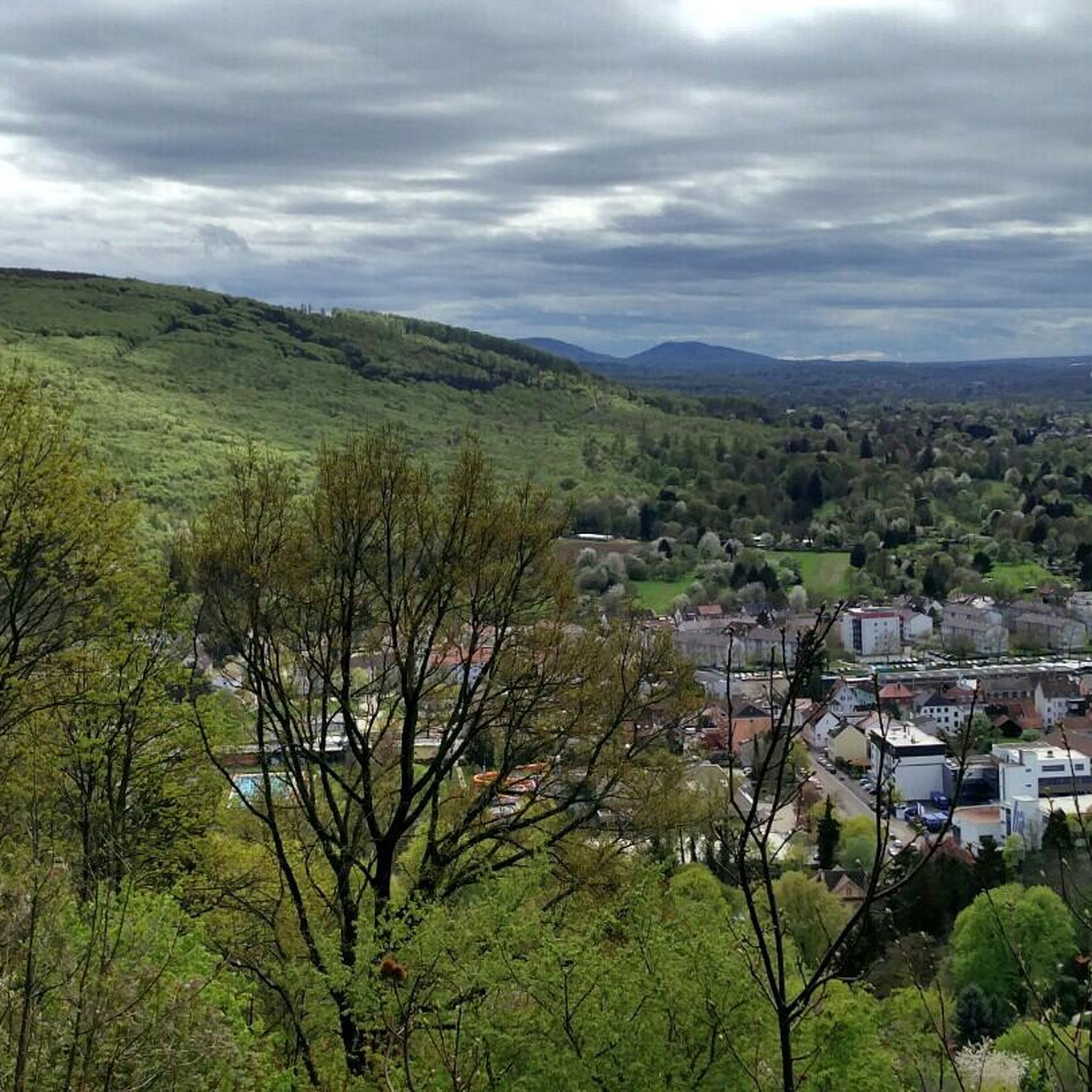
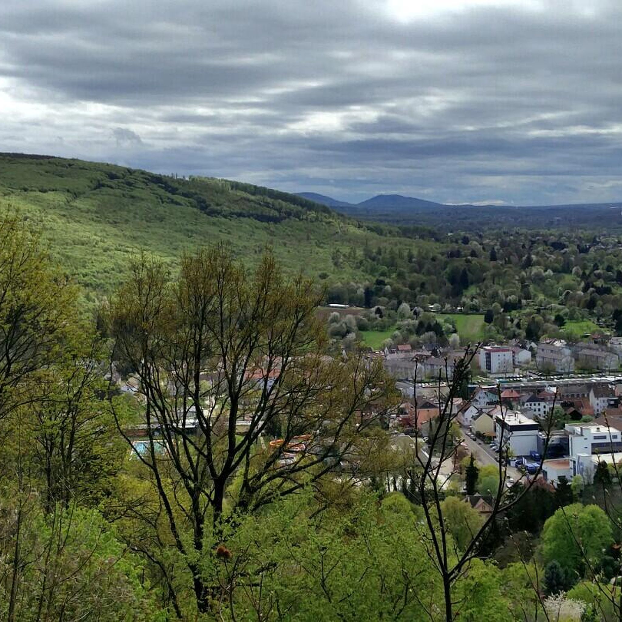
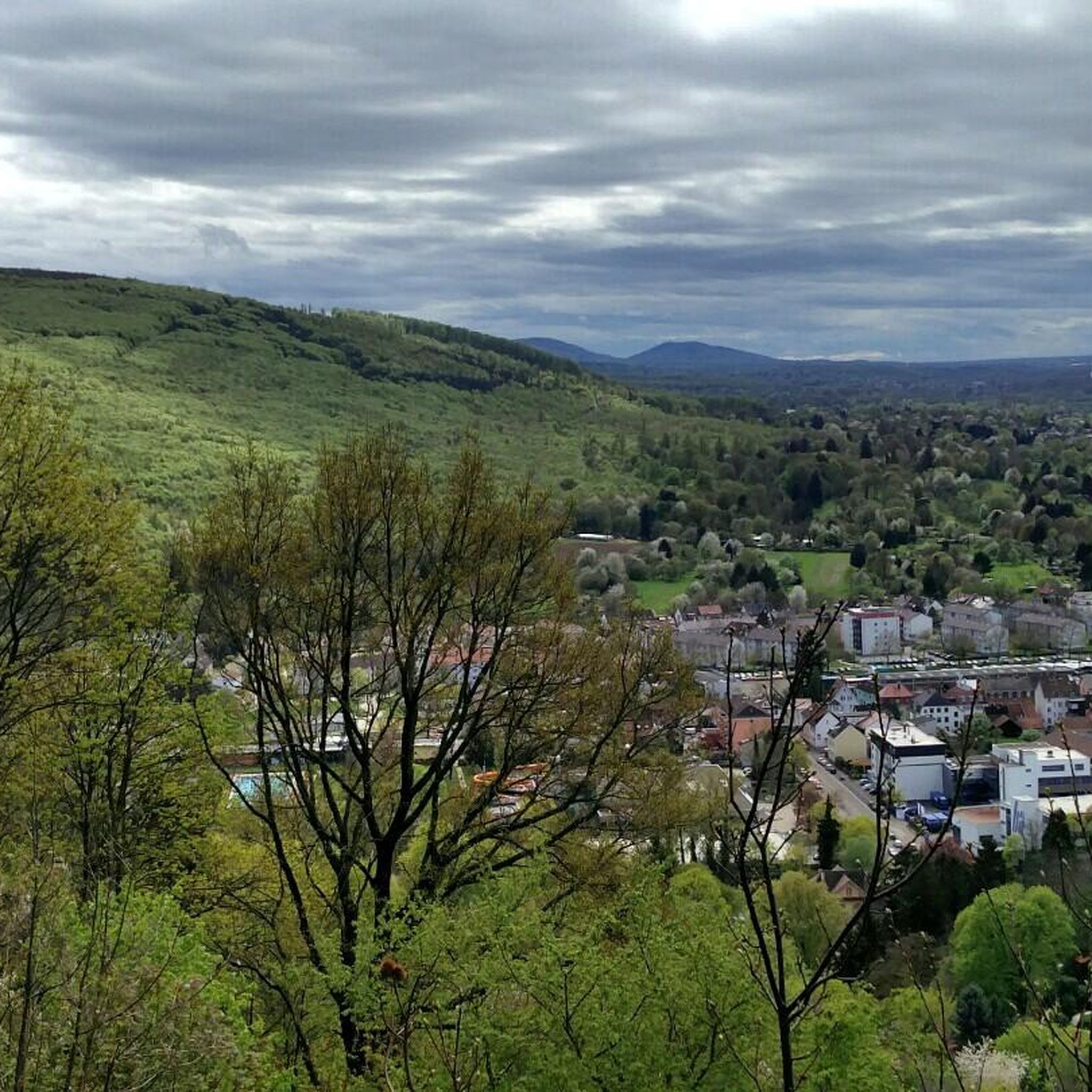
Beautiful path with fantastic views over Ettlingen, the Alb Valley, and the Rhine plain to the Vosges Mountains. The best view is in the middle section around the White House, where there are also very pretty and individually designed garden plots on both sides of the path, often with beautiful natural stone walls.
7
0

The panoramic trail at Wattkopf is a scenic contribution from the portal municipality of Ettlingen to the Central/Northern Black Forest Nature Park. It is around 2.5 km long and takes around an hour and a half to walk over the Robberg and parts of the city forest, past various viewpoints and sights. The walk offers walkers and hikers impressive views of the city, the front Alb valley and the Rhine plain as far as the Palatinate mountains and the Vosges in Alsace. At 17 stations there are information boards about scenic features and cultural and historical sights.
3
0

Beautiful hike with lot of hidden paths .. good workout.
2
0

The panoramic trail is around 2.5 km long and takes around an hour and a half to walk over the Robberg and parts of the city forest, past various viewpoints and sights. The tour offers us - especially from the Bismarck Tower - impressive views of the city, the front Alb valley and the Rhine plain as far as the Palatinate mountains and the Vosges in Alsace. There are information boards at 17 stations about special landscape features and cultural and historical sights. Two starting points are recommended for the tour: the car park at the end of Bismarckstrasse by the old water reservoir or the car park on the upper Vogelsangweg by the wayside cross at the "Kaisereiche". Source and further information: https://www.albtal-tourismus.de/tour/panoramaweg-am-wattkopf-e63331fa0f
2
0

There were no wild boars to be seen today. But the smell indicated that they were there. Mallards and colorful mandarin ducks swam in the pond.
1
0

Well-guided hiking route with several stations and information boards. There are many opportunities to enjoy the magnificent view of the valley.
8
2

As a reward after the uphill you can watch the happy pigs :-)
3
0
スタットワルドエットリンゲンでのの人気ルート
スタットワルドエットリンゲンでのの人気観光スポット

komootモバイルアプリでインスピレーションを得よう


さらに探索
まだ探しているハイライトが見つかりませんか?他の地域のトップアトラクションのガイドを見てみましょう:
