ペグニッツのおすすめウォーキング&ハイキングルート
4.5
(3041)
10,225
ハイカー
354
ハイキング
ペグニッツ 周辺でおすすめのハイキングやウォーキングを楽しんでいただけるように、このエリアの小径やルートを集めたkomootコレクション全体を見直しました。 以下で各ルートの詳細をご覧になり、ペグニッツ周辺の大自然を満喫する際の参考にしてください。
最終更新日: 10月 10, 2026
4.7
(155)
520
ハイカー
18.0km
05:01
350m
350m
難しいハイキング. 標準以上のフィットネスレベルが必要です。 進みやすいルートです。あらゆるスキルレベルに適しています。
4.8
(175)
580
ハイカー
12.9km
03:40
240m
240m
難しいハイキング. ある程度のフィットネスレベルが必要です。 安定して歩行できる技術、丈夫な靴、高標高地での登山経験が必要です。

4.8
(565)
1,715
ハイカー
9.83km
02:36
90m
90m
中程度のハイキング. ある程度のフィットネスレベルが必要です。 進みやすいルートです。あらゆるスキルレベルに適しています。
4.7
(194)
661
ハイカー
12.4km
03:19
140m
140m
中程度のハイキング. ある程度のフィットネスレベルが必要です。 進みやすいルートです。あらゆるスキルレベルに適しています。
4.6
(59)
217
ハイカー
15.4km
04:26
340m
340m
中程度のハイキング. ある程度のフィットネスレベルが必要です。 全般的に進みやすいルートです。安定して歩行できる技術が必要です。
さらに多くのルートや他のユーザーのおすすめ情報を確認できます。
すでにアカウントをお持ちですか?
おすすめのツアーは他のkomootユーザーが実際に経験した何千ものアクティビティに基づいています。
無料アカウントで今日から始めよう
次の冒険が待っています。
ペグニッツ周辺で人気
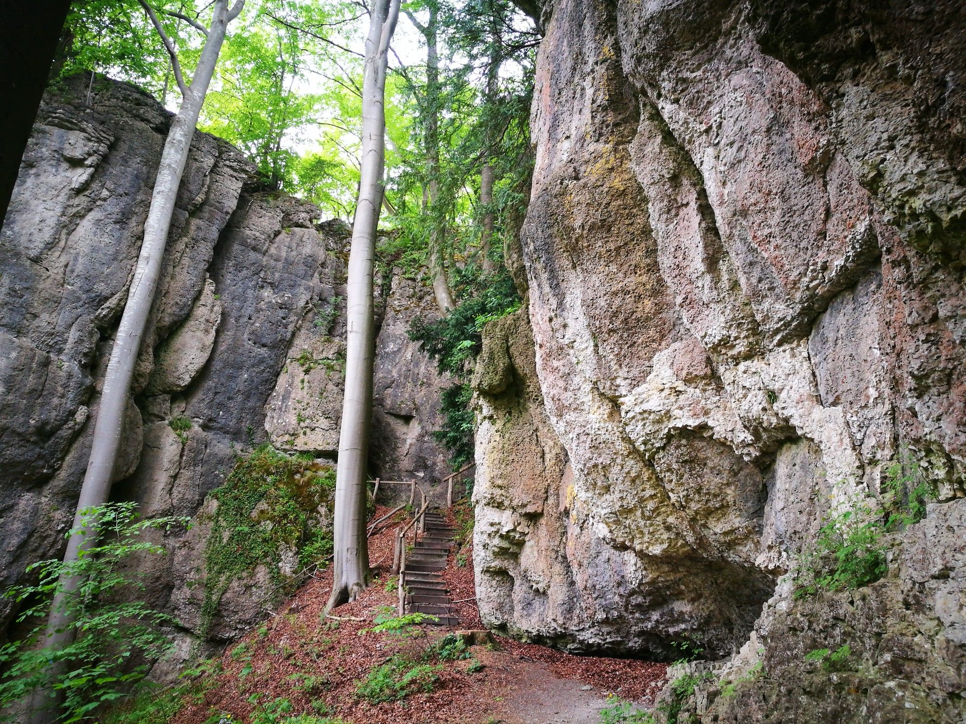
森、岩、城 – フランクン・シュワイツの5日間ルート
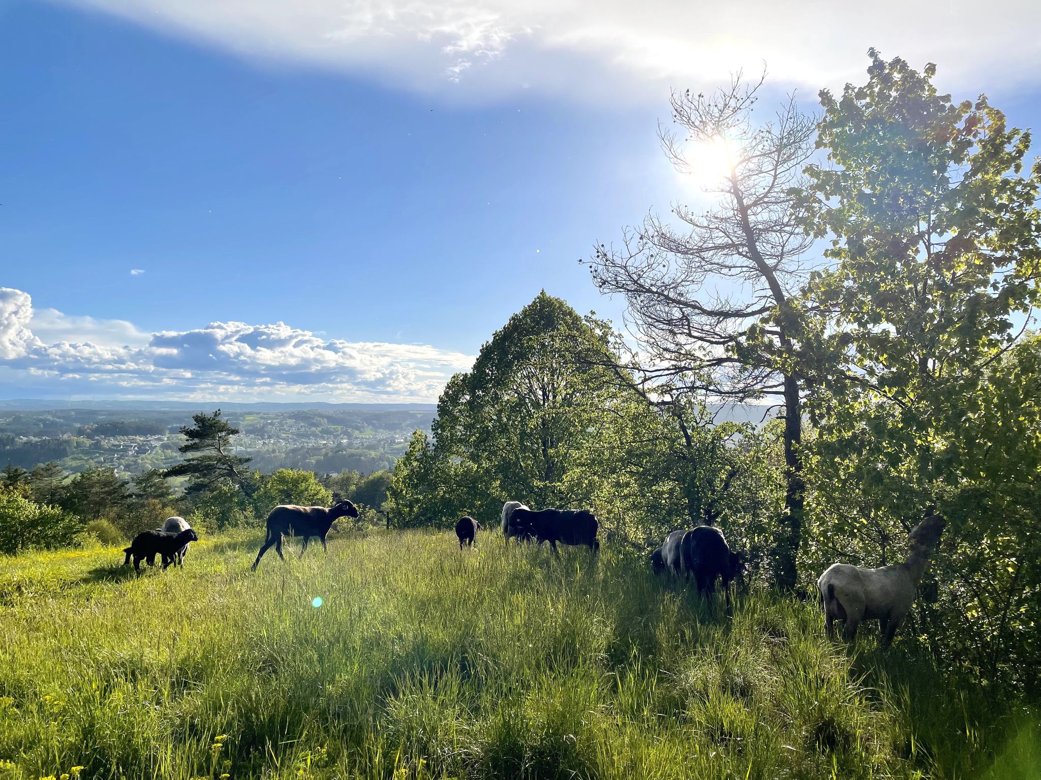
エルツヴェグ品質ハイキングトレイルで11日

Thousands of kilometres of hiking fun – long-distance hiking trails in Bavaria
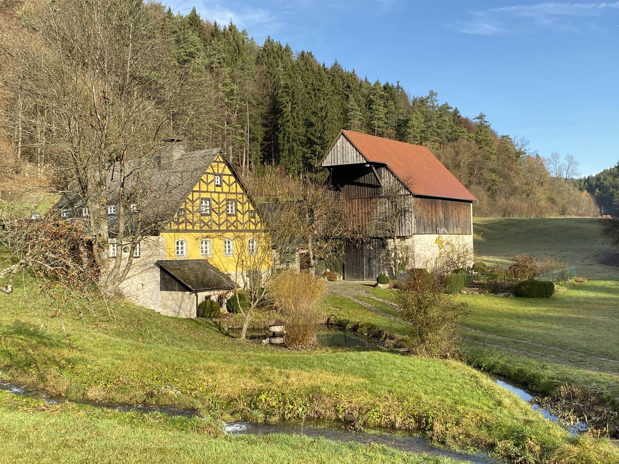
視点からセイドラへ – フレンキシェ・シュヴァイツの自然とビールの楽しみ
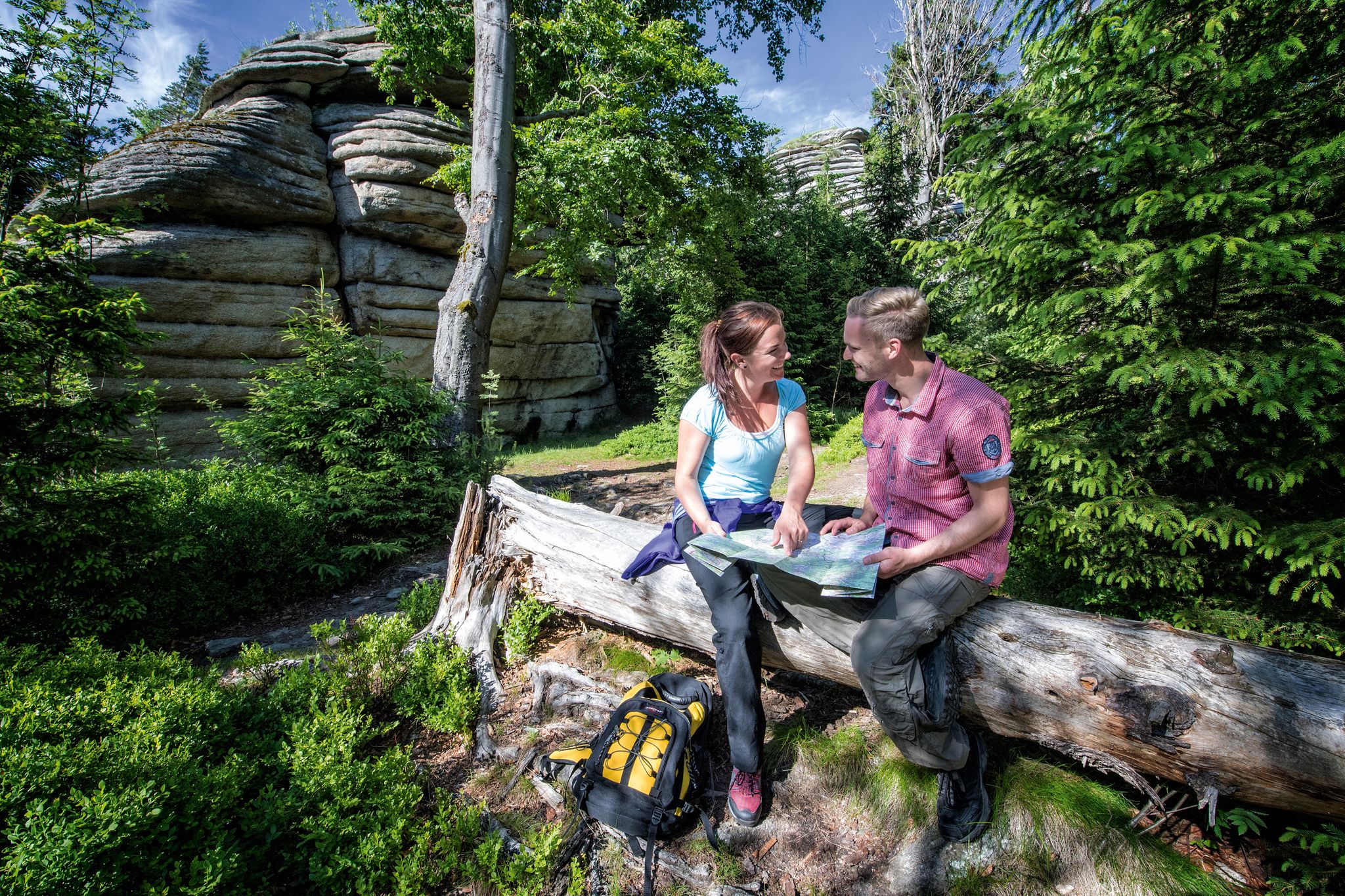
フランコニアン・マウンテン・トレイル - 21のステージで至福の山頂へ

Winter won't stop us – VGN tips for exploring Germany’s Franconia in the cold
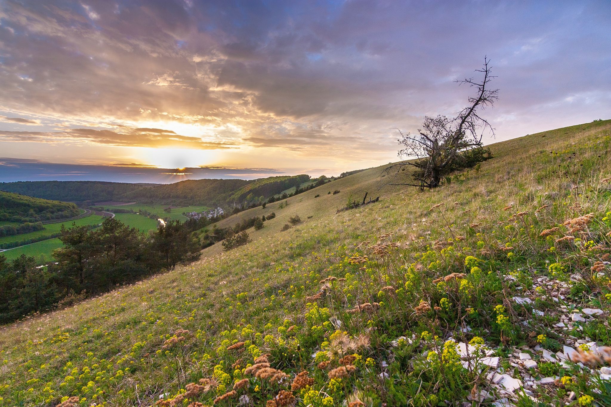
Looking for a small adventure? Your summer in the VGN
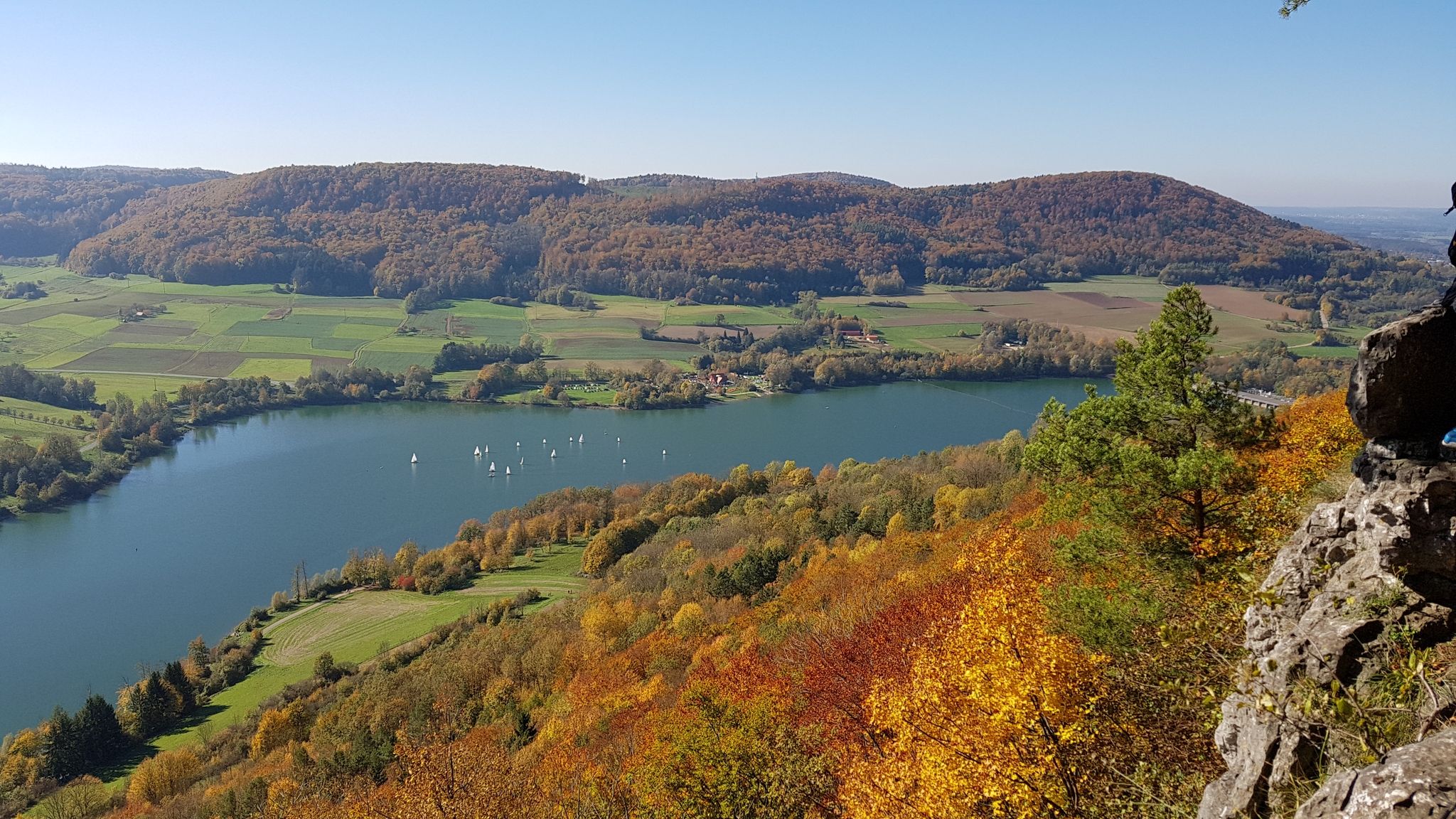
Colourful leaves & gentle hills – hiking in autumn in Franconia
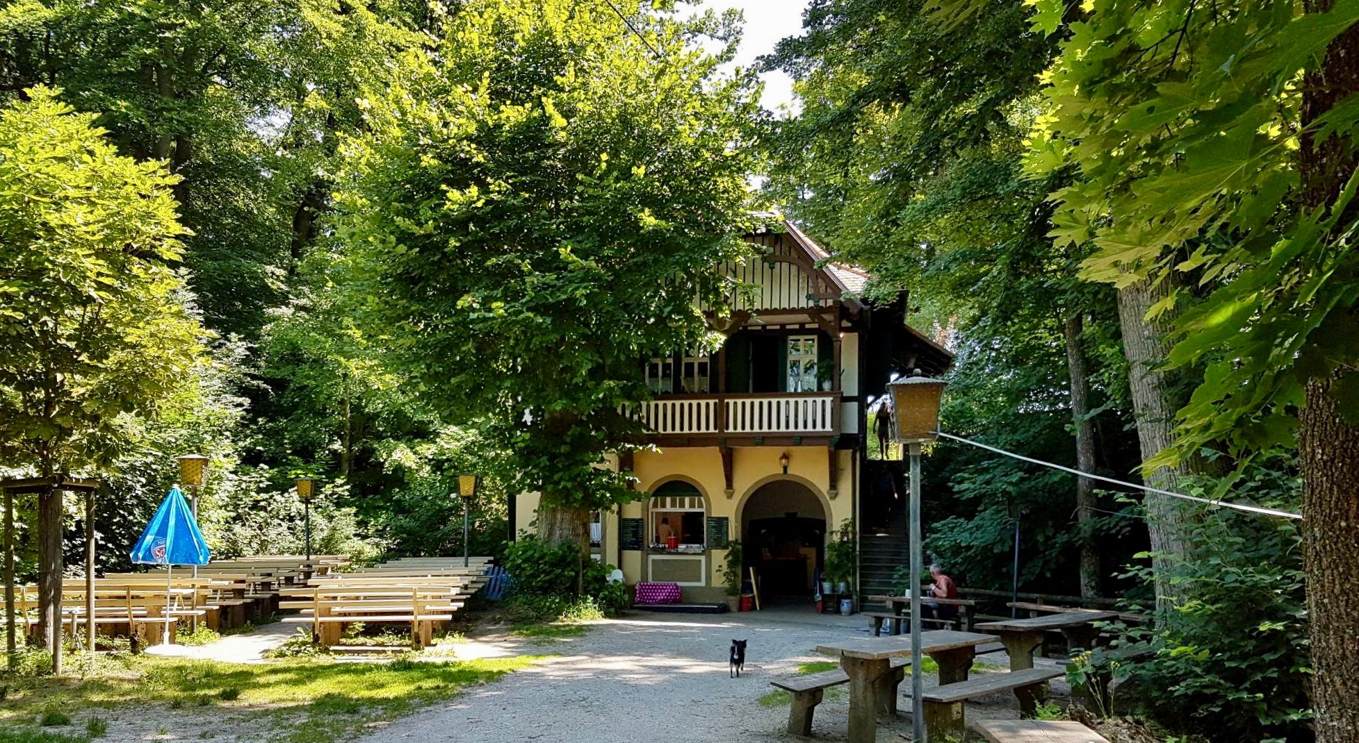
フランコニアスイツランド — 純度法の跡を追う
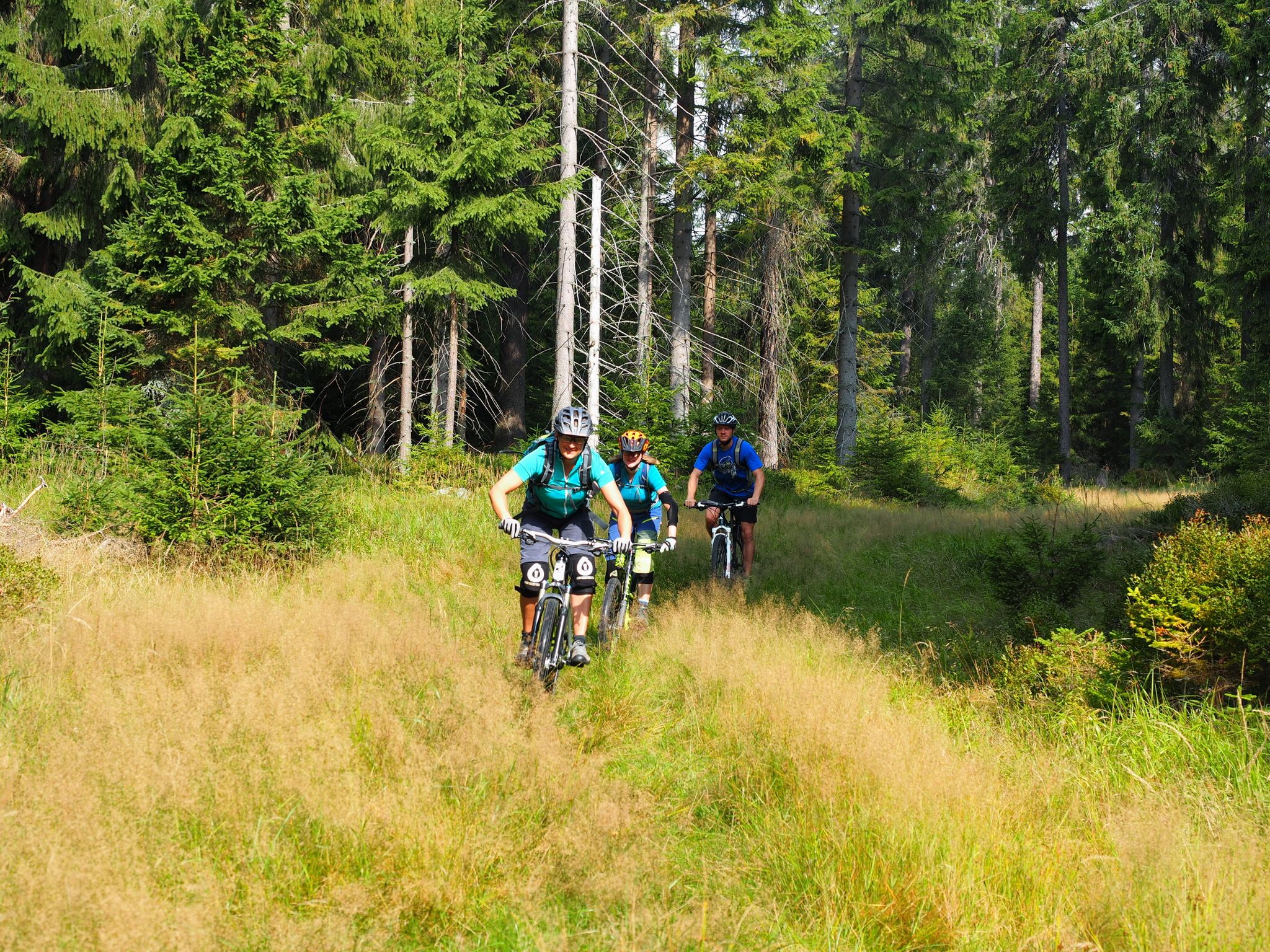
The best bike Tours around Nuremberg – MTB microadventures with the VGN
ペグニッツでのの他の冒険


コミュニティからのヒント

ベルクヴァハトクロイツ(Bergwachtkreuz)は、マリエンタール(Mariental)とオーバーレス・ピュトラハタール(Oberes Püttlachtal)を隔てる尾根であるプリュルスライテ(Prüllsleite)の標高440メートルの地点にあります。この十字架は、1989年に亡くなったすべての山岳警備隊員を追悼して建てられたもので、今日では素晴らしい展望台であり、静思の場所となっています。ここからは、印象的な岩石の形成、ザンガーヘュスヒェン(Sängerhäuschen)、クロイツカペレ(Kreuzkapelle)、城、そしてその全容を美しく広げるフェルゼンシュテットヒェン(Felsenstädtchen)までの息をのむような眺めが楽しめます。アクセスはオーバーレス・ピュトラハタールから、山岳警備隊の小屋(Bergwachthütte)への道を進みます。小屋周辺のエリアは、小休憩を取り、自然を楽しむのに最適です。
3
0


A magnificent river landscape meanders through a deep valley. The Kneipp facility is a wonderful place to cool off, especially on hot summer days.
1
0

You will pass by here as part of the HINTERINDIEN.DE tour no. 122.
0
0

This wooden bridge over the Püttlach River is located in the upper Püttlach Valley. The bridge offers a charming view of the stream banks, especially in spring. Several hiking trails branch off from here.
2
0
From Pottenstein, you can hike along two trails, one on the left and one on the right, along the Püttlach. The left is the easier and gentler forest path, while the right is a narrow but beautiful path that gently climbs and descends along the Püttlach. Both trails are recommended as part of a circular hike through the Püttlach Valley; there are several bridge crossings along the way.
1
1

Good paths, easy even for beginners and good to walk
0
0

Very good beer 🍺 and the snack was also great I like the ambience
0
0

komootモバイルアプリでインスピレーションを得よう


さらに探索
他の地域の最高のハイキングを見てみましょう。
