ノルデンハムのおすすめウォーキング&ハイキングルート
4.3
(235)
1,476
ハイカー
157
ハイキング
ノルデンハム 周辺でおすすめのハイキングやウォーキングを楽しんでいただけるように、このエリアの小径やルートを集めたkomootコレクション全体を見直しました。 以下で各ルートの詳細をご覧になり、ノルデンハム周辺の大自然を満喫する際の参考にしてください。
最終更新日: 10月 17, 2026
4.6
(20)
93
ハイカー
5.97km
01:30
10m
10m
初級者向けハイキング. あらゆるフィットネスレベルに適しています。 進みやすいルートです。あらゆるスキルレベルに適しています。
4.8
(21)
94
ハイカー
3.70km
00:56
0m
0m
初級者向けハイキング. あらゆるフィットネスレベルに適しています。 進みやすいルートです。あらゆるスキルレベルに適しています。

4.4
(16)
74
ハイカー
7.57km
01:55
10m
10m
初級者向けハイキング. あらゆるフィットネスレベルに適しています。 進みやすいルートです。あらゆるスキルレベルに適しています。
5.0
(13)
45
ハイカー
初級者向けハイキング. あらゆるフィットネスレベルに適しています。 進みやすいルートです。あらゆるスキルレベルに適しています。
4.7
(10)
37
ハイカー
7.42km
01:52
10m
10m
初級者向けハイキング. あらゆるフィットネスレベルに適しています。 進みやすいルートです。あらゆるスキルレベルに適しています。
さらに多くのルートや他のユーザーのおすすめ情報を確認できます。
すでにアカウントをお持ちですか?
おすすめのツアーは他のkomootユーザーが実際に経験した何千ものアクティビティに基づいています。
無料アカウントで今日から始めよう
次の冒険が待っています。
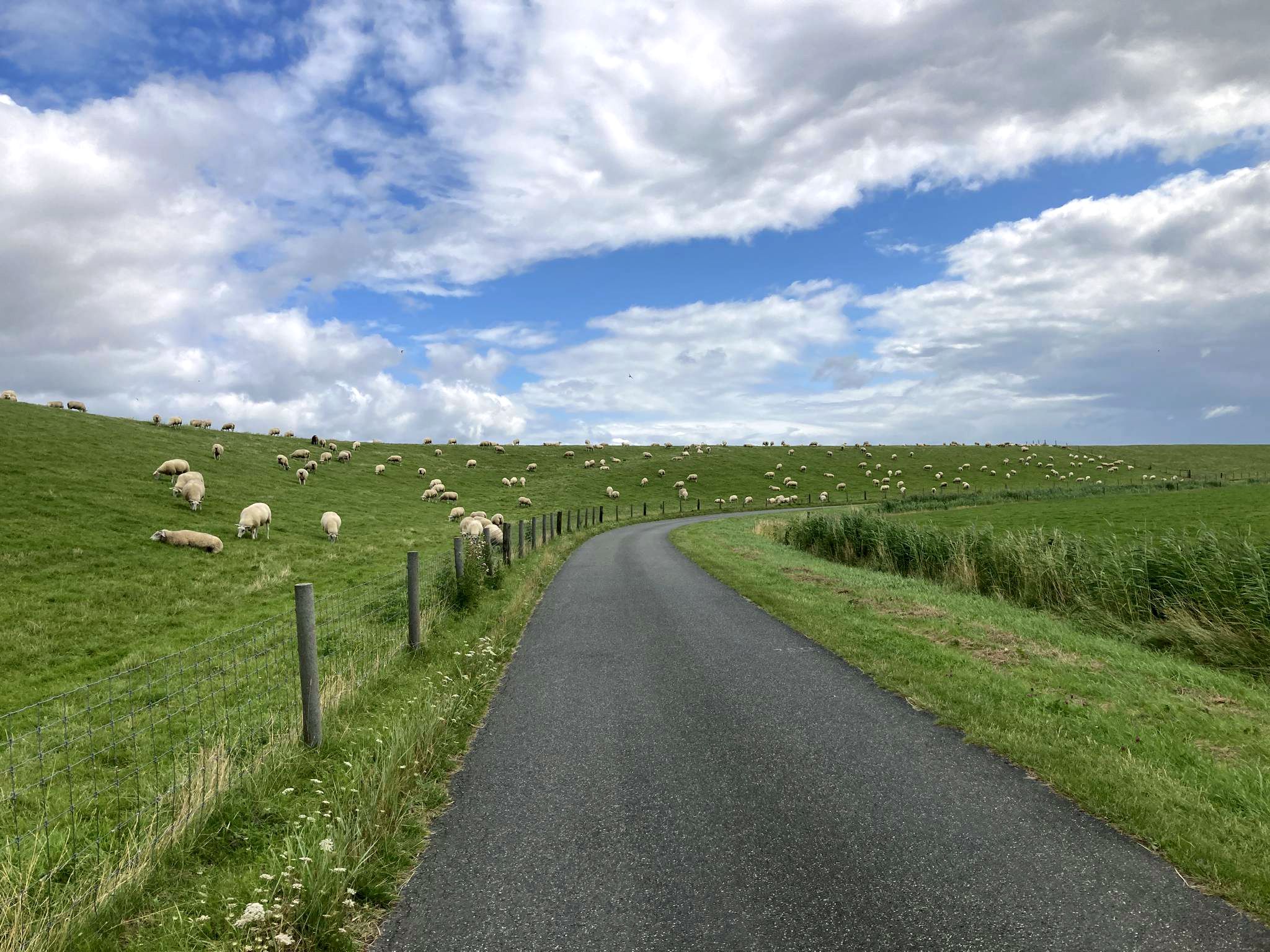
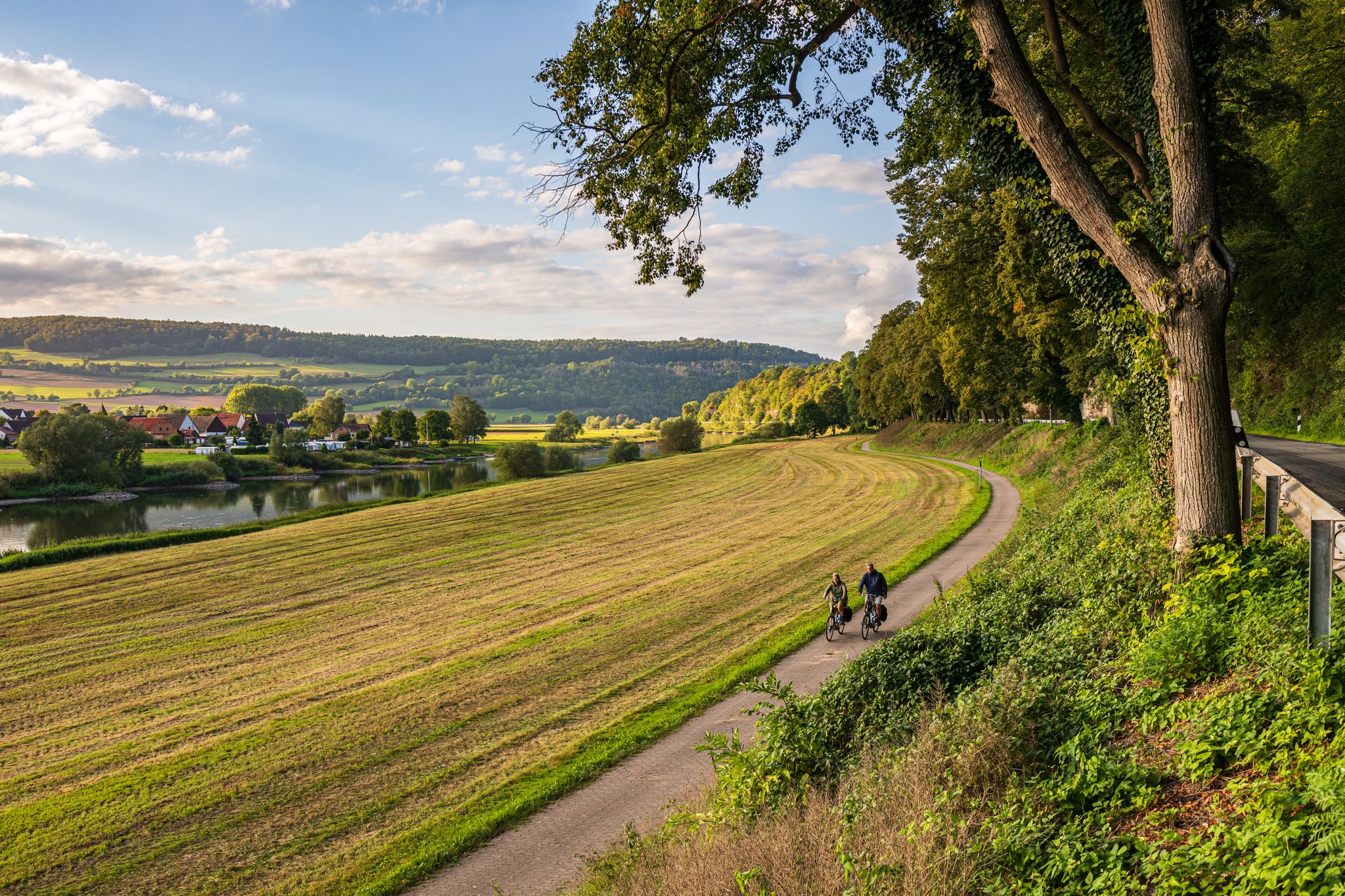
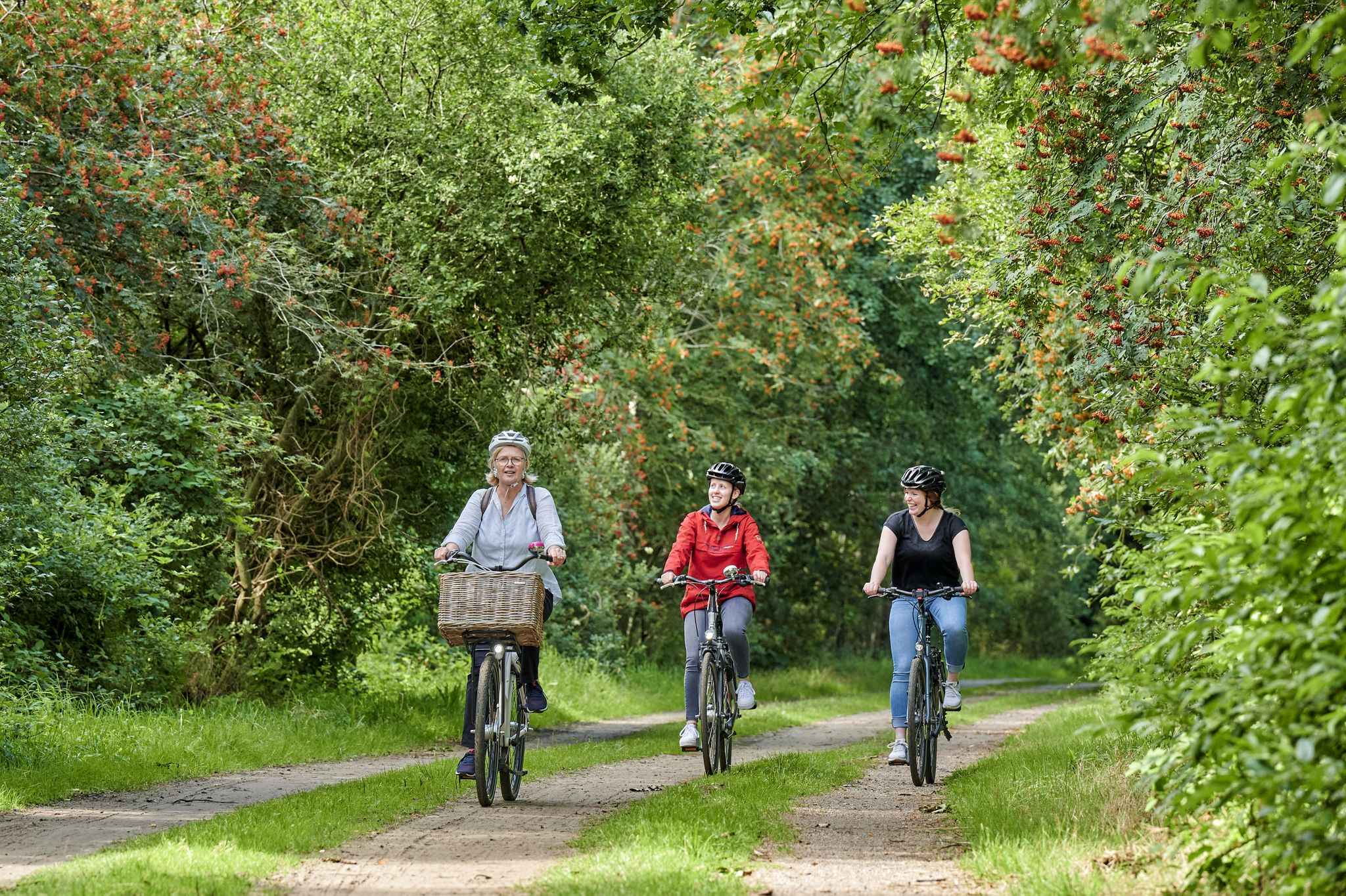
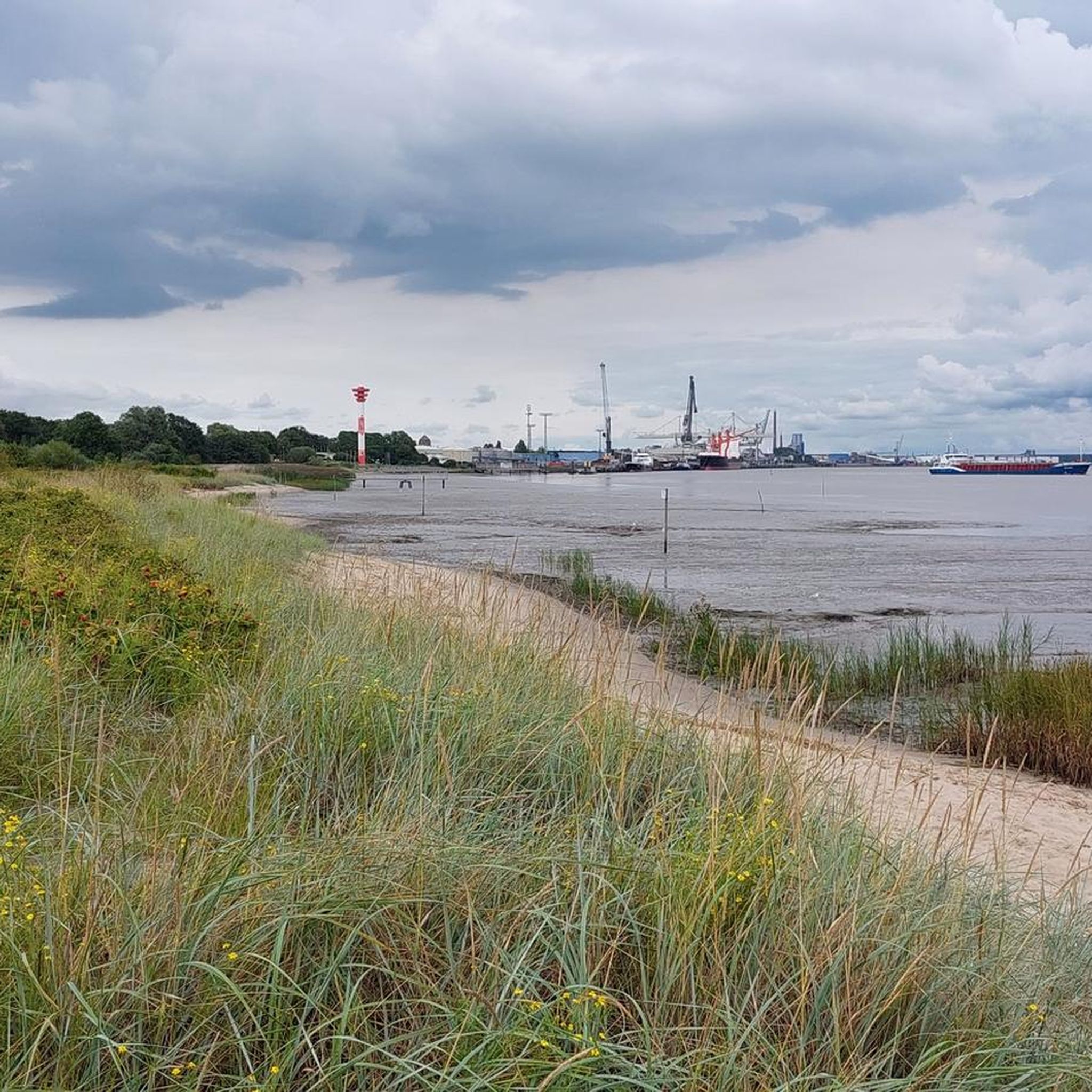
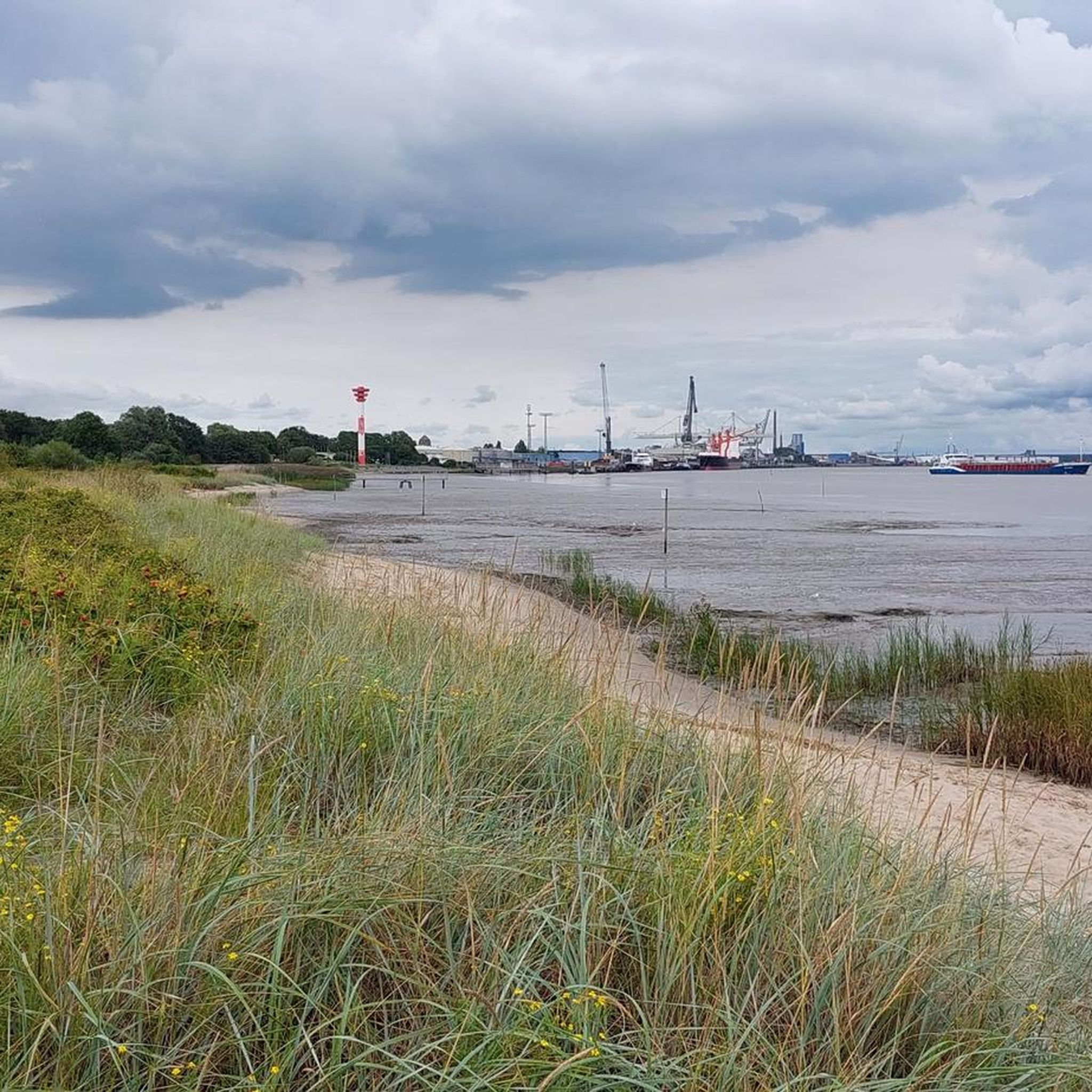
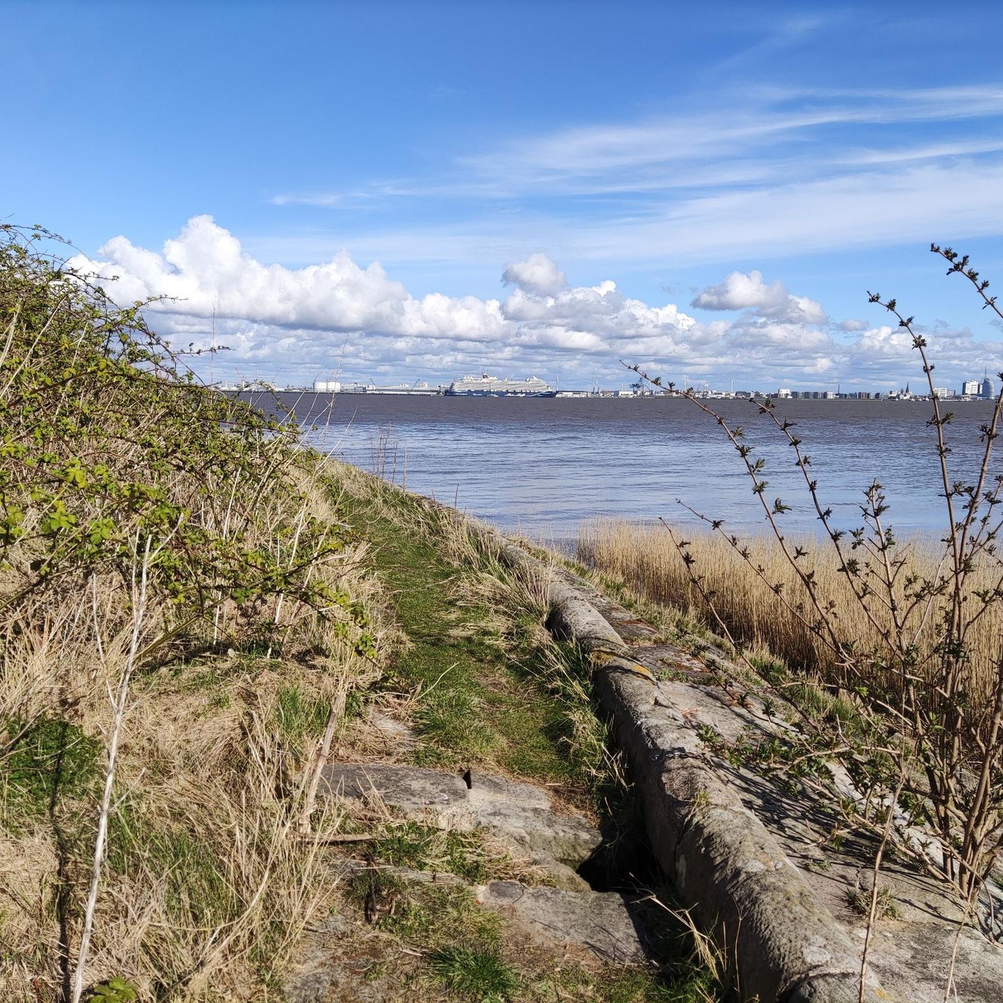
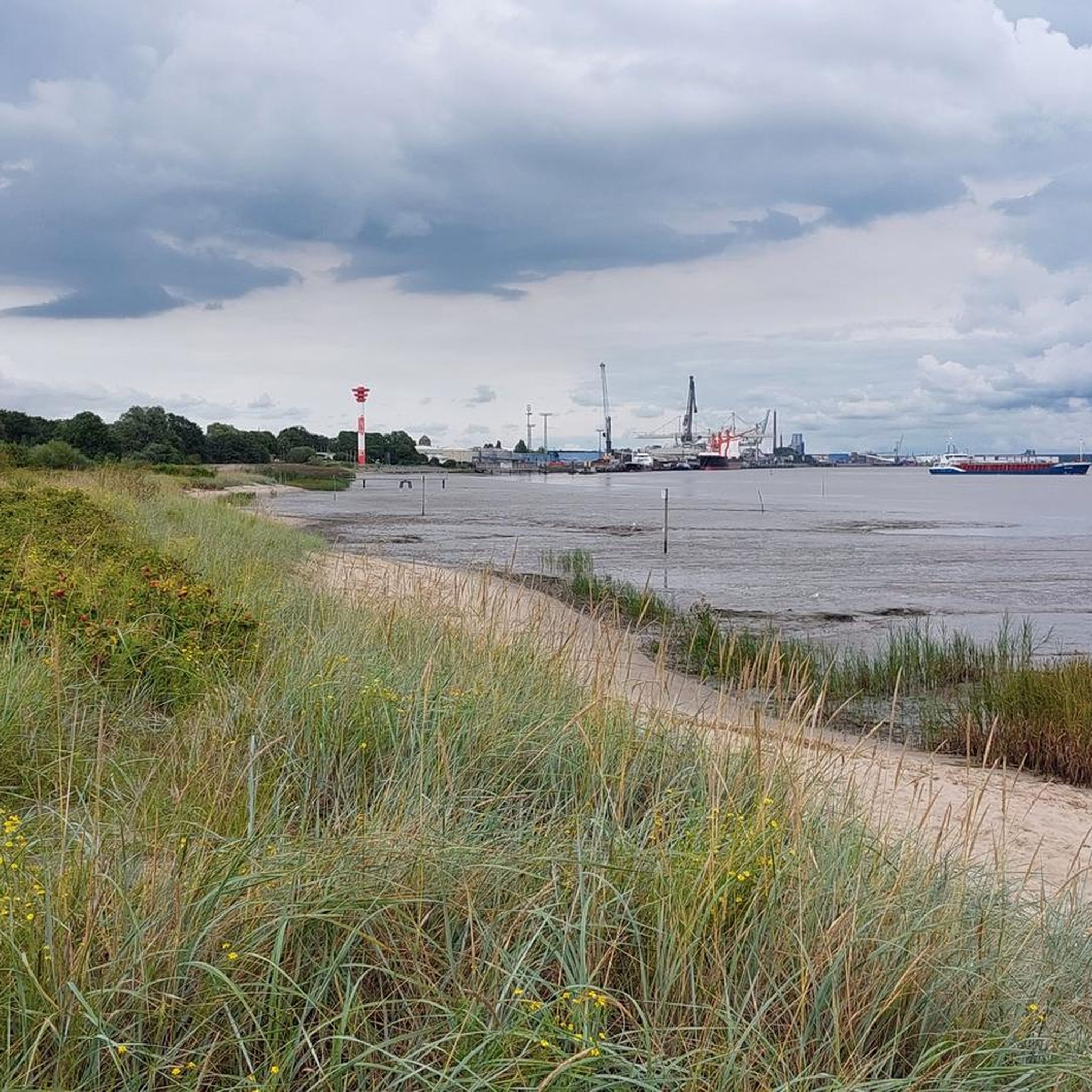
ノルデンハムでのの他の冒険


コミュニティからのヒント


Very bad path to the island and the radar tower in places. (Push the bike in places) Didn't see any prohibition signs or information signs. (And wasn't alone on the island either) But there was a fantastic view towards the cruise terminal.
0
0
Radar tower on the former fortress island of Langlütjen 1. Height 55 meters. There is a radio antenna on the top. P.S. We saw neither barriers nor signs.
1
0

Often drove past it 😊
3
0

Radar tower for the port entrance to Bremerhaven
0
0

A walk along the dyke with a view of the yellow radar tower, over the fortified dam to the mudflat island of Langlütjen I, is worthwhile for all nature lovers. For a cup of tea!
3
0
From 1869 to 1870, the Langlütjensand dune in the mudflats north of Blexen was surrounded by earthen ramparts by the Prussian Navy and converted into a fortified coastal fort (Langlütjen I). Due to the tidal conditions, the 300 workers could only continue construction in the summer and at low tide. A 1.6-kilometer-long dam connected the fort to the mainland. In 1870/71, the fort received nine 21-cm guns in armored casemates. During World War II, Langlütjen I served as an anti-aircraft position and was blown up after the end of the war, later covered with sand. In 1983, a radar tower was built on the site. Langlütjen II, however, still exists today. The public discussion about the future use of this property, which is under federal control, is not yet complete. (SOURCE: https://www.bremerhaven.de/de/tourismus/architektur-denkmaeler/stadtgeschichte/ueberseehaefen/forts-langluetjen-i-und-ii.59169.html)
3
0
ノルデンハムでのの人気観光スポット

komootモバイルアプリでインスピレーションを得よう


さらに探索
他の地域の最高のハイキングを見てみましょう。
