ムッテンのおすすめウォーキング&ハイキングルート
4.6
(256)
1,705
ハイカー
12
ハイキング
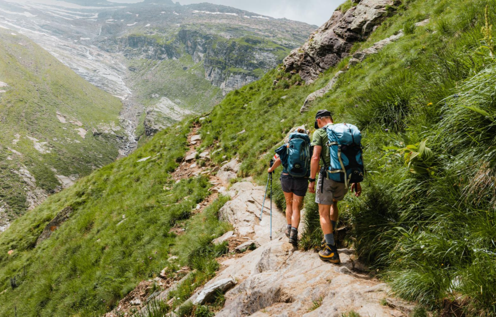
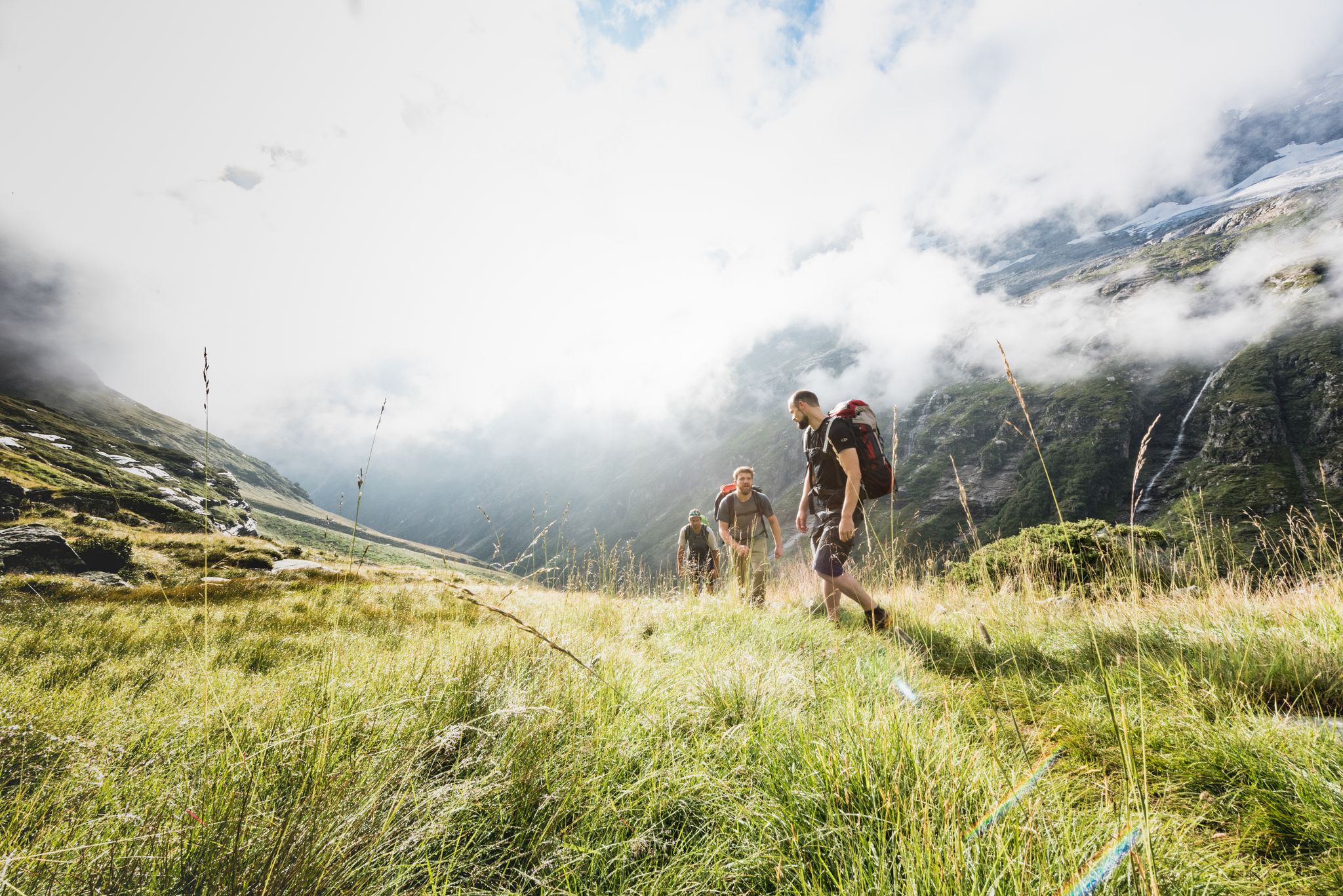
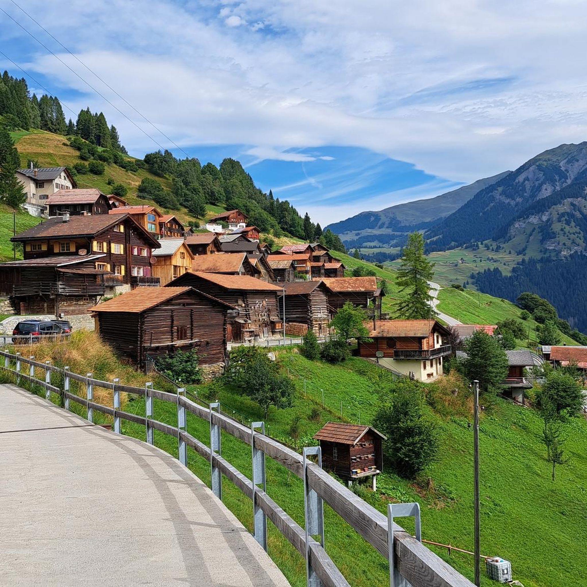
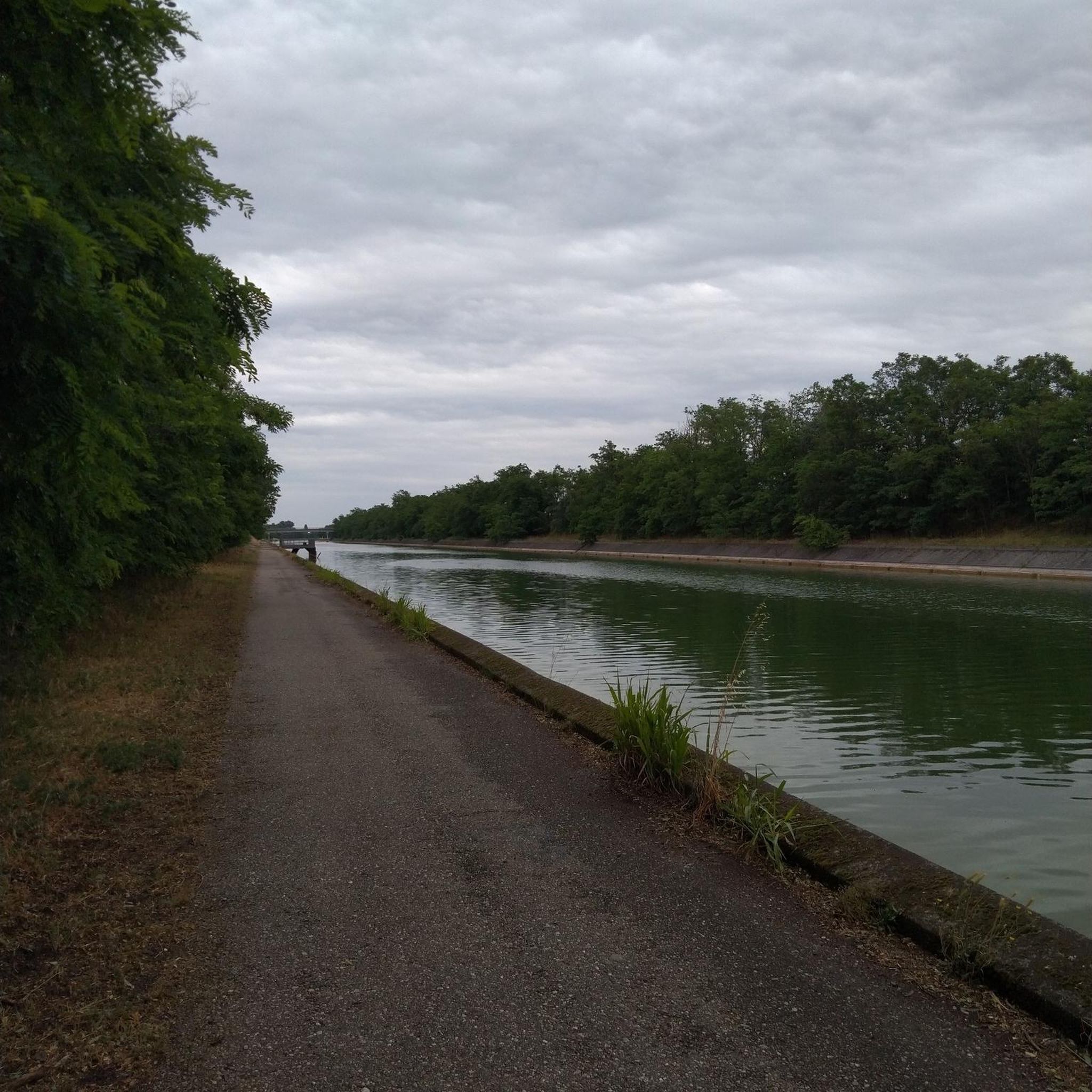
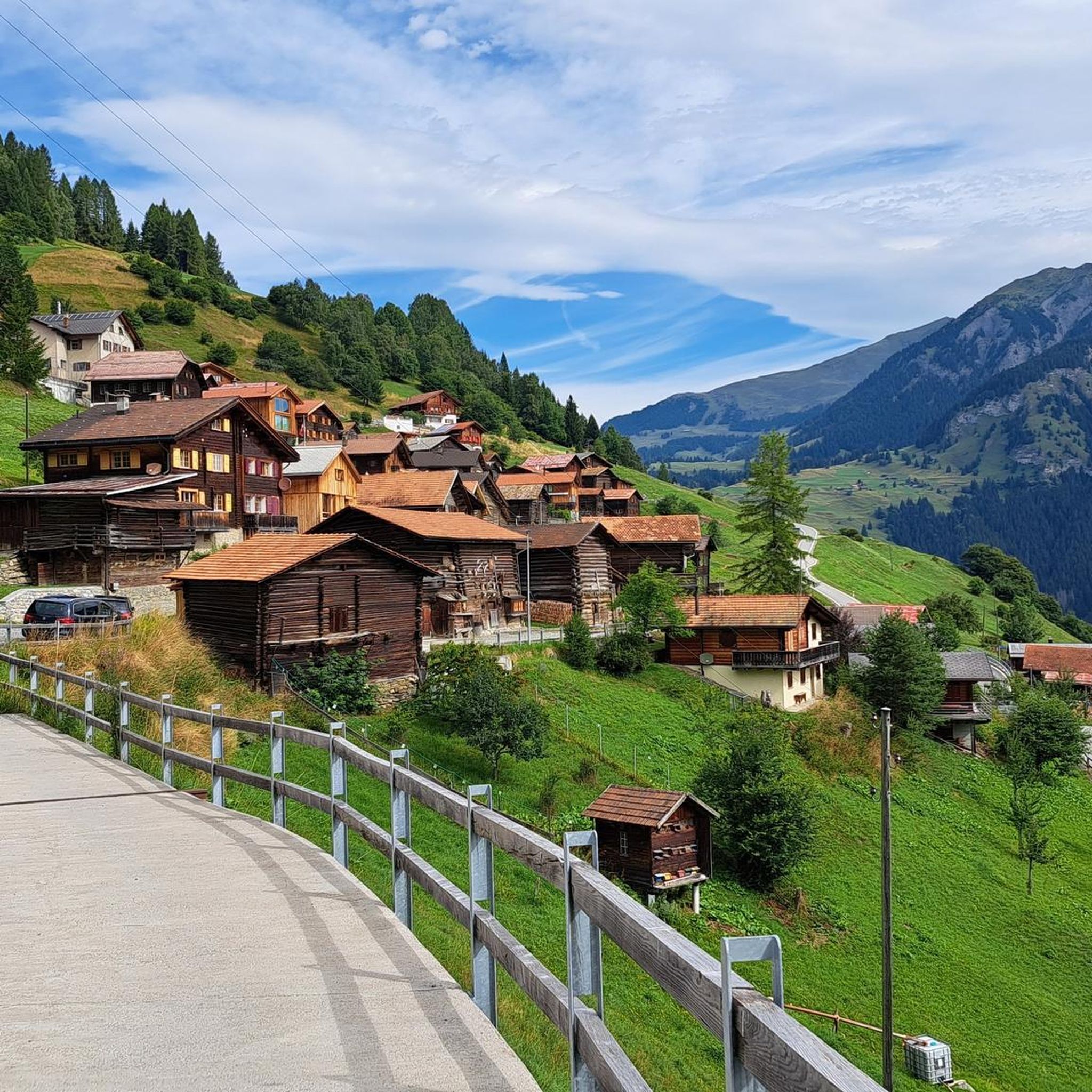
ムッテン周辺でのハイキングは、景色を満喫するのに最適な手段のひとつですが、適切なハイキングルートを見つけることは簡単ではありません。 ムッテン周辺の人気ハイキング&ウォーキングコースを参考にすれば、行きたいルートをすぐに見つけられます。
最終更新日: 10月 11, 2026
4.8
(4)
34
ハイカー
2.26km
00:46
120m
120m
初級者向けハイキング. あらゆるフィットネスレベルに適しています。 進みやすいルートです。あらゆるスキルレベルに適しています。
4.7
(13)
75
ハイカー
8.25km
03:12
510m
510m
中程度のハイキング. ある程度のフィットネスレベルが必要です。 全般的に進みやすいルートです。安定して歩行できる技術が必要です。

5.0
(2)
8
ハイカー
18.5km
06:10
790m
790m
難しいハイキング. 標準以上のフィットネスレベルが必要です。 全般的に進みやすいルートです。安定して歩行できる技術が必要です。
4.5
(2)
15
ハイカー
5.08km
02:04
310m
310m
中程度のハイキング. ある程度のフィットネスレベルが必要です。 全般的に進みやすいルートです。安定して歩行できる技術が必要です。
5.0
(3)
11
ハイカー
18.1km
06:23
890m
900m
難しいハイキング. 標準以上のフィットネスレベルが必要です。 全般的に進みやすいルートです。安定して歩行できる技術が必要です。
さらに多くのルートや他のユーザーのおすすめ情報を確認できます。
すでにアカウントをお持ちですか?
おすすめのツアーは他のkomootユーザーが実際に経験した何千ものアクティビティに基づいています。

コミュニティからのヒント


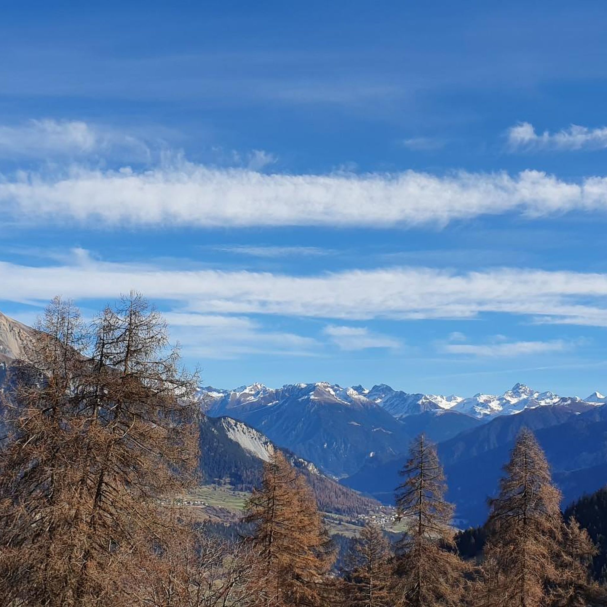
Fantastic panoramic point also easily reachable by mountain bike from Obermutten.
1
0


Here in Ziteil, on the eastern slope of the Piz Curvér, is the highest pilgrimage site in Switzerland at 2,429 meters above sea level. The pilgrimage chapel is not always open. If you're lucky enough to have it open, I recommend checking it out inside.
2
1
Stierva is a village in the canton of Graubünden on the left bank of the Albula. More precisely, on the eastern slope of a mountain range whose highest peaks are the Curvér Pintg da Taspegn (2,731 metres) and the Muttner Horn (2,401 metres).
0
0


Unfortunately there is no water outside of opening hours. So it is better to fill up at the fountain in Munter and then carry it up if necessary.
0
1

Park your car at the Mutten Unterdorf stop and take the Postbus to Obermutten. (Reservation required). The fireplace can be reached after a short hike and is ideal for small children.
0
0

komootモバイルアプリでインスピレーションを得よう


さらに探索
他の地域の最高のハイキングを見てみましょう。
