モーザーのおすすめライド
4.3
(29)
567
ライダー
25
ライド
モーザー周辺でのロードバイクライドをお考えですか?komootはモーザー周辺のあらゆるロードバイクライドを評価し、人気ルートを厳選しました。モーザー周辺の各ロードバイクルートの詳細をご覧になり、自分に合ったルートを見つけてください。
最終更新日: 10月 13, 2026
4.4
(9)
122
ライダー
54.0km
02:17
140m
140m
中程度のロードライド. ある程度のフィットネスレベルが必要です。 ツアーの一部に、未舗装のため走行が難しい箇所があるかもしれません。
4.0
(3)
63
ライダー
52.5km
02:08
130m
130m
中程度のロードライド. ある程度のフィットネスレベルが必要です。 ツアーの一部に、未舗装のため走行が難しい箇所があるかもしれません。

5.0
(2)
46
ライダー
51.3km
02:09
180m
180m
中程度のロードライド. ある程度のフィットネスレベルが必要です。 全般的に舗装状態が良好で走行しやすい道です。
4.4
(5)
38
ライダー
26.5km
01:10
70m
70m
初級者向けロードバイクライド. あらゆるフィットネスレベルに適しています。 全般的に舗装状態が良好で走行しやすい道です。
28
ライダー
32.3km
01:23
110m
110m
中程度のロードライド. あらゆるフィットネスレベルに適しています。 ツアーの一部に、未舗装のため走行が難しい箇所があるかもしれません。
さらに多くのルートや他のユーザーのおすすめ情報を確認できます。
すでにアカウントをお持ちですか?
おすすめのツアーは他のkomootユーザーが実際に経験した何千ものアクティビティに基づいています。
無料アカウントで今日から始めよう
次の冒険が待っています。

コミュニティからのヒント

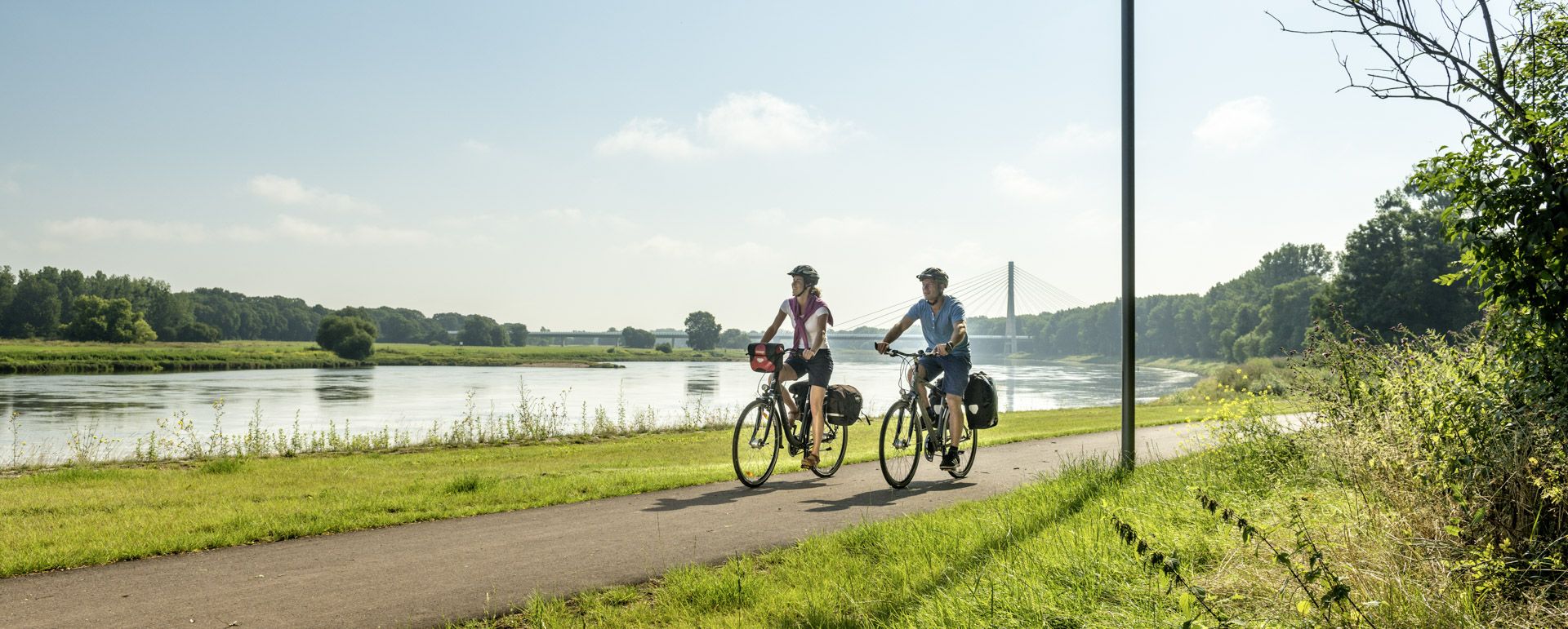
The cycle path is very narrow and sometimes a bit difficult to navigate on a road bike due to roots and slight ruts. Always ride slowly here. A gravel bike is actually much better here.
0
0

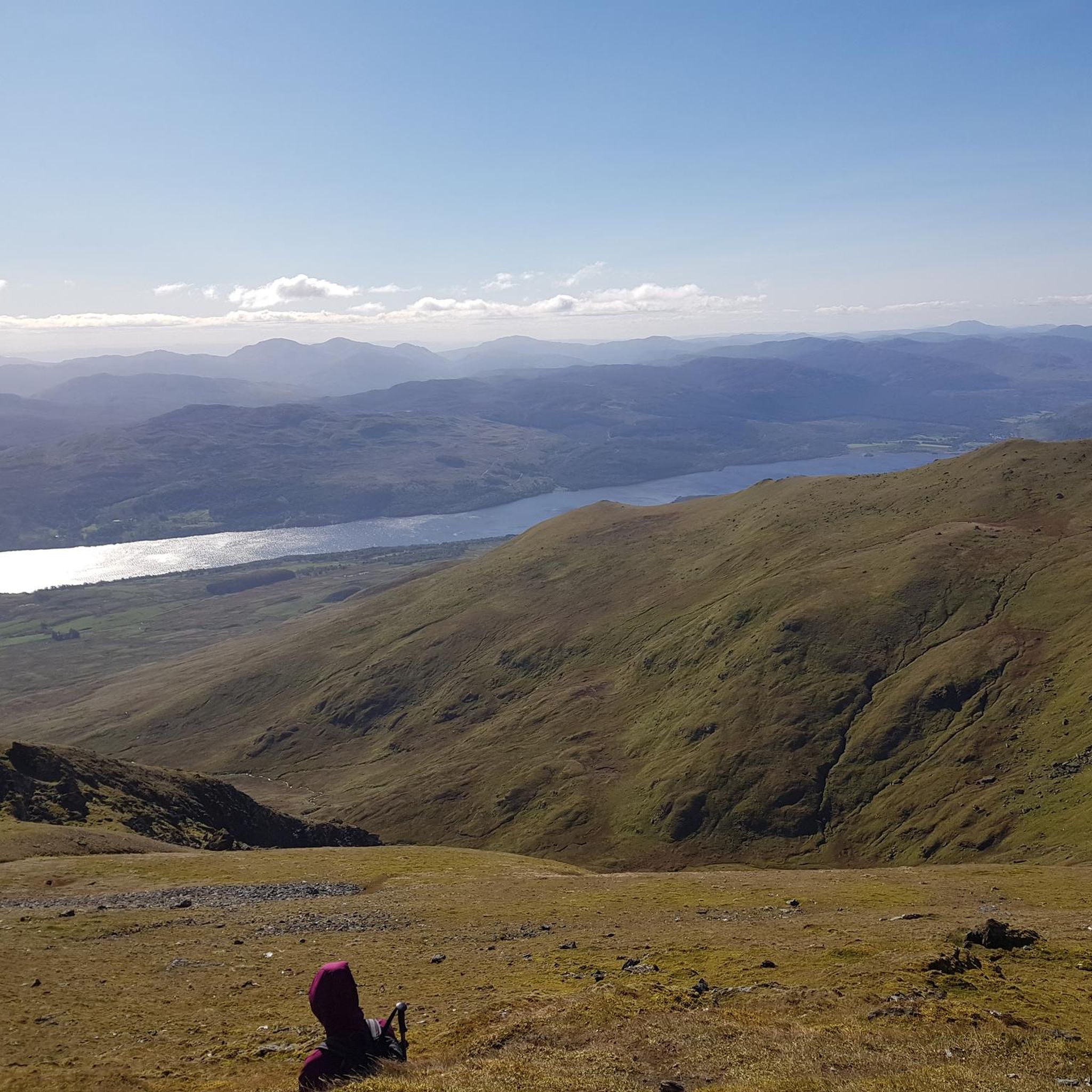
Climb the highest peak between Magdeburg and the Baltic Sea During this mountain hike, you'll cover a roughly 6 km long trail with gradients of up to 16%. It takes two to three hours and is led by expert mountain guides from the Zielitz Miners' Association. During the tour, the mountain guides will provide information about local mining – from the raw salt extracted underground to the finished product – and scenic attractions. After the approximately 3 km climb, you'll reach the summit plateau. From here, you'll enjoy impressive views of the surrounding villages, Europe's largest waterway junction, and the largest continuous linden forest. With a bit of luck, the weather will be clear, so the view even extends as far as the Brocken (Harz) Mountains. Source: https://www.kpluss.com/de-de/ueber-ks/standorte/europa/zielitz/kalimandscharo/#bergtour The mountain tours take place every Saturday at 3:00 PM from the beginning of May to October. No registration is required.
0
0

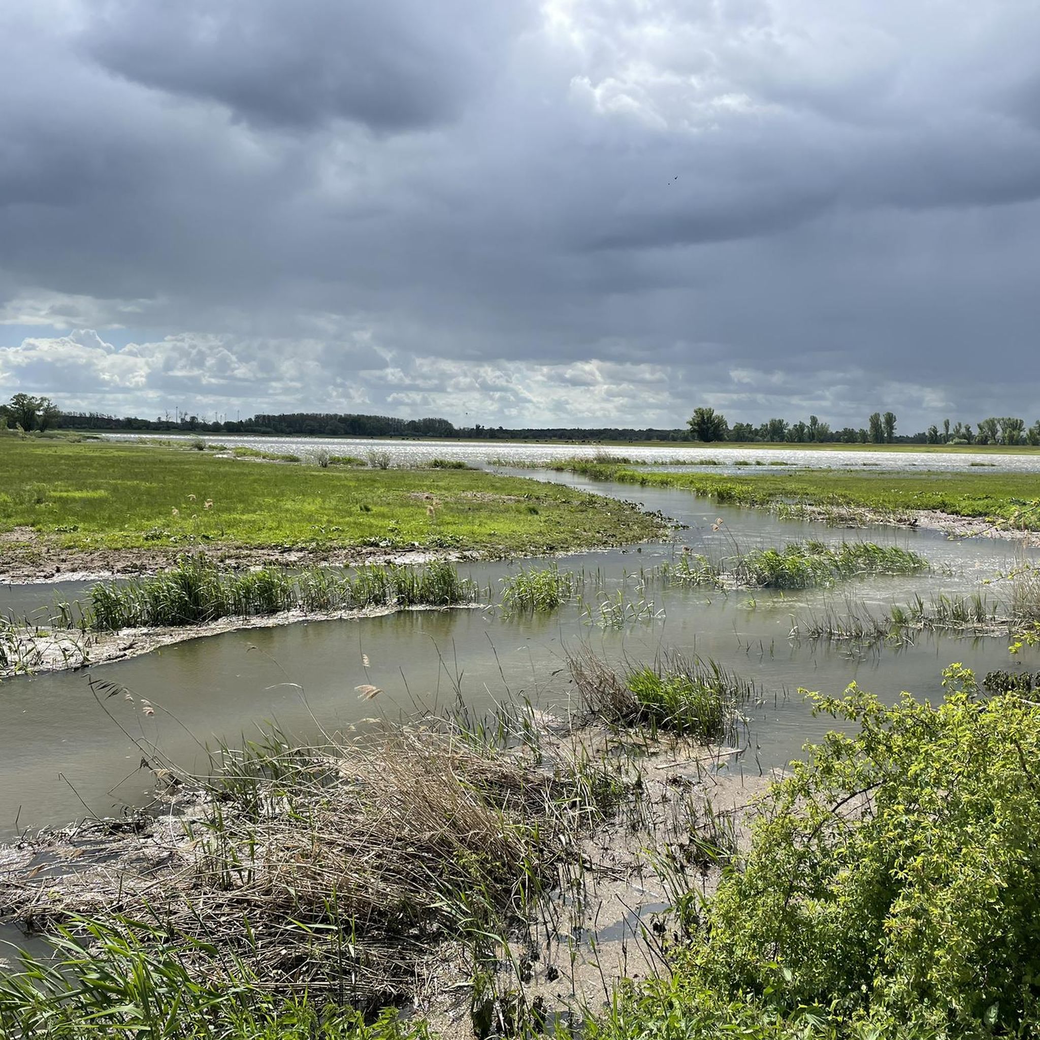
Beautiful bathing area on the Ehle with a sandy beach.
0
0

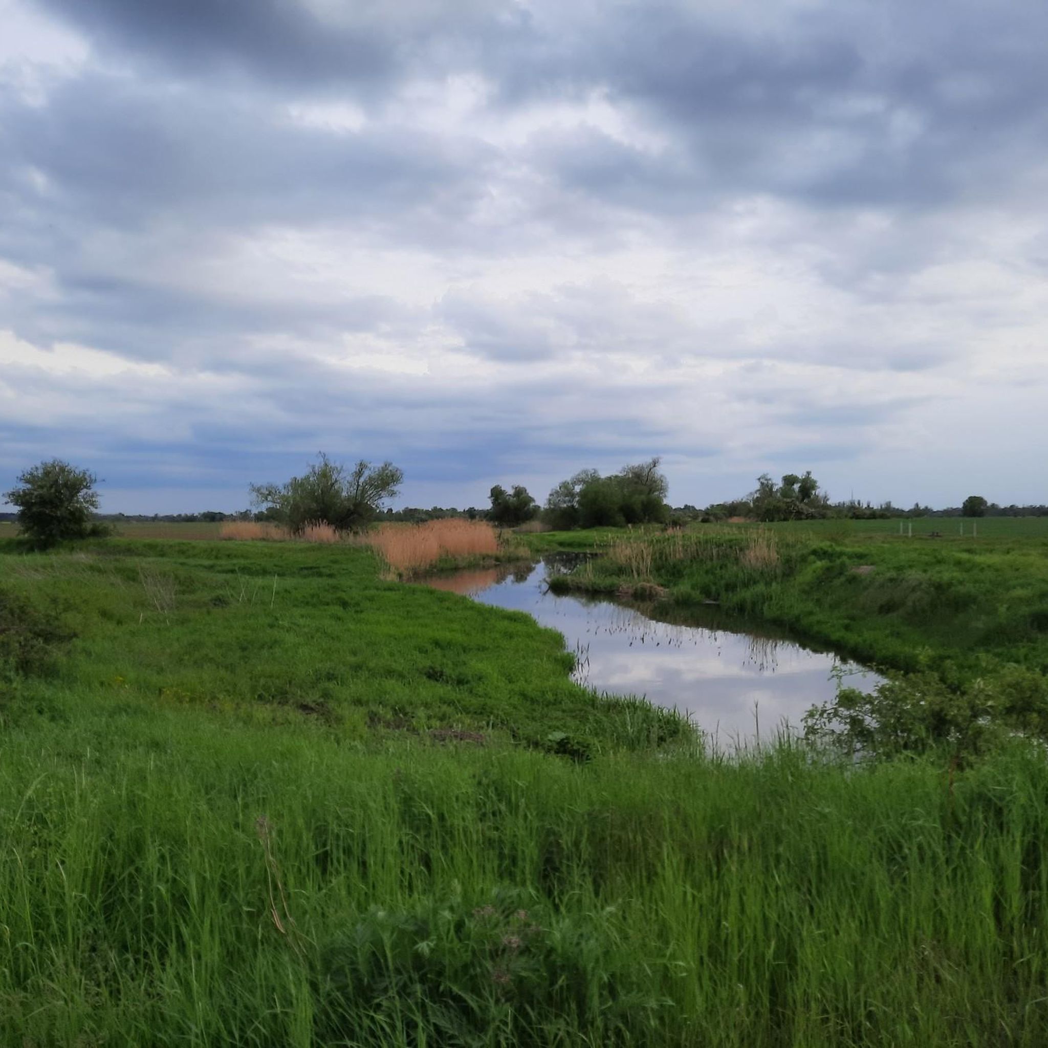
It's a very pleasant ride. There are no gaps between the concrete slabs. Untouched nature, wild meadows, and the occasional large, gnarled tree.
0
0

In the Herrenkrug and Biederitzer Busch areas, numerous distinctive old oak trees can be found. A paradise for all kinds of wildlife.
1
0

Great surface for cycling.
0
0

Great section - puts you in a good mood!
0
0

Church from 2006 on the site of a previous building from 1979. Church in the shape of an ark. Free-standing bell tower in the shape of a towering stern
0
0
モーザーでのの人気観光スポット

komootモバイルアプリでインスピレーションを得よう


さらに探索
他の地域の最高のロードサイクリングルートを見てみましょう。
