ジェリホーファーランドのおすすめライド
4.4
(247)
3,491
ライダー
169
ライド
このガイドでご紹介するのは、komootがジェリホーファーランドでのロードバイクルートのコレクション全体を評価して選び抜いた、このエリアの人気バイクライドです。あなたに合ったものを見つけるには、以下のルートをクリックして標高データや舗装状態の分析などの細かな情報を把握し、さらにkomootコミュニティのメンバーが投稿した役立つ情報や写真も閲覧しましょう。
最終更新日: 10月 14, 2026
4.1
(25)
264
ライダー
66.0km
02:53
200m
200m
中程度のロードライド. ある程度のフィットネスレベルが必要です。 ツアーの一部に、未舗装のため走行が難しい箇所があるかもしれません。
4.5
(27)
315
ライダー
36.9km
01:36
70m
70m
初級者向けロードバイクライド. あらゆるフィットネスレベルに適しています。 全般的に舗装状態が良好で走行しやすい道です。

4.6
(48)
600
ライダー
54.8km
02:14
90m
90m
中程度のロードライド. ある程度のフィットネスレベルが必要です。 ツアーの一部に、未舗装のため走行が難しい箇所があるかもしれません。
4.4
(9)
122
ライダー
54.0km
02:17
140m
140m
中程度のロードライド. ある程度のフィットネスレベルが必要です。 ツアーの一部に、未舗装のため走行が難しい箇所があるかもしれません。
5.0
(5)
94
ライダー
54.8km
02:09
90m
90m
中程度のロードライド. ある程度のフィットネスレベルが必要です。 ツアーの一部に、未舗装のため走行が難しい箇所があるかもしれません。
3.8
(4)
52
ライダー
53.1km
02:13
130m
130m
中程度のロードライド. ある程度のフィットネスレベルが必要です。 ツアーの一部に、未舗装のため走行が難しい箇所があるかもしれません。
4.0
(3)
63
ライダー
52.5km
02:08
130m
130m
中程度のロードライド. ある程度のフィットネスレベルが必要です。 ツアーの一部に、未舗装のため走行が難しい箇所があるかもしれません。
4.6
(5)
69
ライダー
46.7km
02:10
80m
80m
中程度のロードライド. ある程度のフィットネスレベルが必要です。 ツアーの一部に、未舗装のため走行が難しい箇所があるかもしれません。
5.0
(1)
46
ライダー
105km
04:12
280m
280m
中程度のロードライド. ある程度のフィットネスレベルが必要です。 ツアーの一部に、未舗装のため走行が難しい箇所があるかもしれません。
5.0
(2)
46
ライダー
51.3km
02:09
180m
180m
中程度のロードライド. ある程度のフィットネスレベルが必要です。 全般的に舗装状態が良好で走行しやすい道です。
さらに多くのルートや他のユーザーのおすすめ情報を確認できます。
すでにアカウントをお持ちですか?
おすすめのツアーは他のkomootユーザーが実際に経験した何千ものアクティビティに基づいています。



ジェリホーファーランドでのの他の冒険


コミュニティからのヒント

このフェリーは、フェルヒラントとグリーベンを結び、イェリホーファー・ラント郡とシュテンダル郡の間の接続を創出します。町の近くに接続されているため、すぐにアクセスでき、エルベ川を渡る快適な方法を提供します。 フェリーに関するその他の情報は、こちらをご覧ください。 https://www.elberadweg.de/Faehre/motorfaehre-ferchland-grieben/
2
0

The cycle path is very narrow and sometimes a bit difficult to navigate on a road bike due to roots and slight ruts. Always ride slowly here. A gravel bike is actually much better here.
0
0

Wonderful ride on the easy side of the Elbe and a great view.
1
0

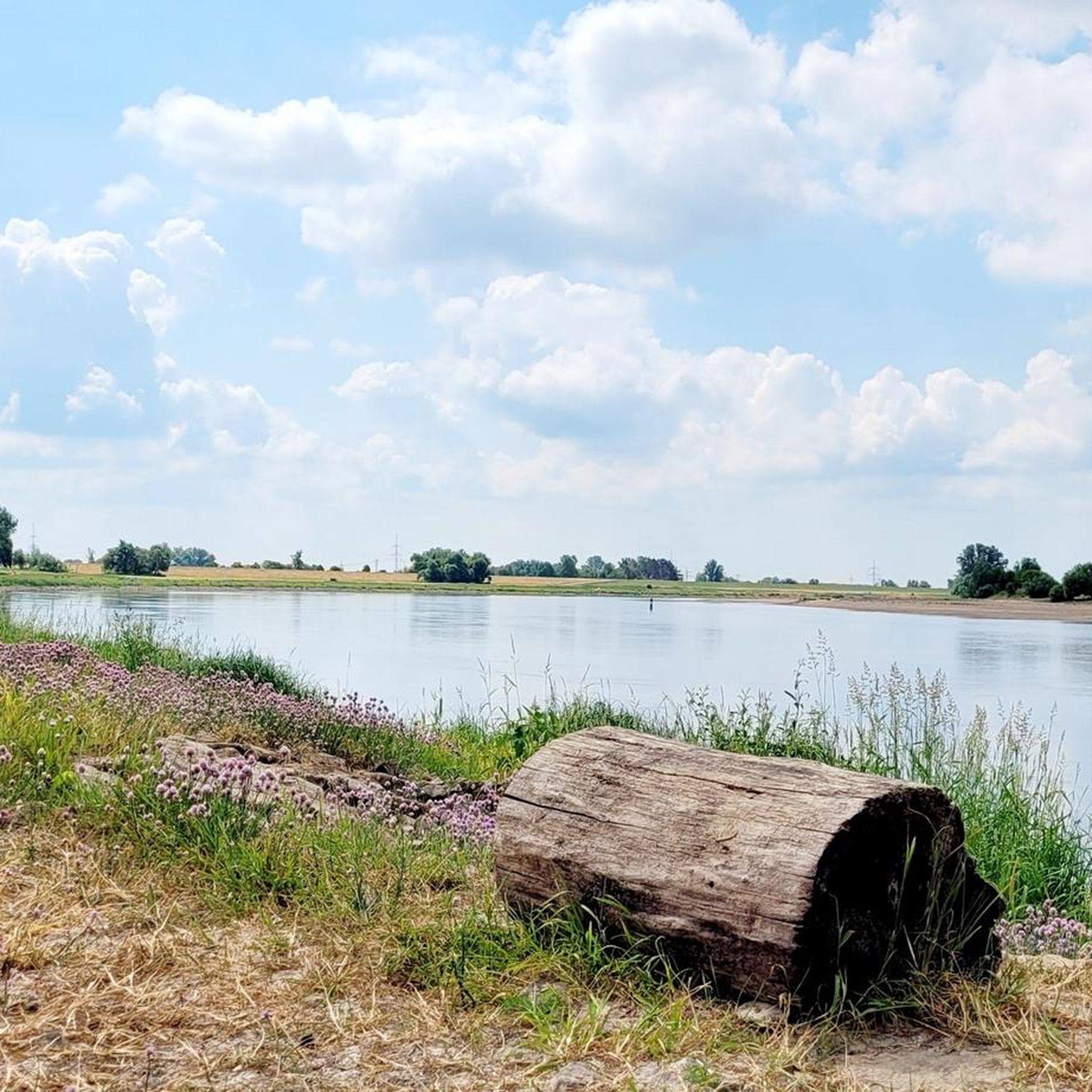
A lovely place to stop for a while along the Elbe River. Several benches with views of the Elbe are available.
0
0
Good connection along the road. But be careful, the path isn't perfect in every area due to roots. Only conditionally recommended for road bikes.
0
0
A lovely spot for a photo or a short break by the Elbe. Whether cycling or hiking.
0
0

Climb the highest peak between Magdeburg and the Baltic Sea During this mountain hike, you'll cover a roughly 6 km long trail with gradients of up to 16%. It takes two to three hours and is led by expert mountain guides from the Zielitz Miners' Association. During the tour, the mountain guides will provide information about local mining – from the raw salt extracted underground to the finished product – and scenic attractions. After the approximately 3 km climb, you'll reach the summit plateau. From here, you'll enjoy impressive views of the surrounding villages, Europe's largest waterway junction, and the largest continuous linden forest. With a bit of luck, the weather will be clear, so the view even extends as far as the Brocken (Harz) Mountains. Source: https://www.kpluss.com/de-de/ueber-ks/standorte/europa/zielitz/kalimandscharo/#bergtour The mountain tours take place every Saturday at 3:00 PM from the beginning of May to October. No registration is required.
0
0

Very nice view of the Hanseatic city of Tangermünde
0
0
ジェリホーファーランドでのの人気観光スポット

komootモバイルアプリでインスピレーションを得よう


探していたものは見つかりませんでしたか?
ジェリホーファーランドの下にある他のロードサイクリングルートをチェックして、目的地で完璧なルートを見つけましょう。
さらに探索
他の地域の最高のロードサイクリングルートを見てみましょう。
