澪のおすすめツーリングルート
4.3
(83)
1,896
ライダー
210
ライド
澪でサイクリングを楽しめば、スールのこのエリアをより深く知ることができます。あなたにぴったりの澪でのバイクライドが見つかるように、komootがサイクリングルートのコレクション全体を評価して選び抜いたルートをご紹介します。以下のルートをクリックして標高データや舗装状態の分析などの細かな情報を把握し、さらにkomootコミュニティのメンバーがアップロードした役立つ情報や写真も閲覧しましょう。
最終更新日: 10月 10, 2026
53
ライダー
59.1km
03:52
590m
590m
難しい自転車ライド. 標準以上のフィットネスレベルが必要です。 全般的に舗装された状態です。あらゆるスキルレベルに適しています。
5.0
(1)
2
ライダー
14.8km
01:03
270m
270m
中程度の自転車ライド. ある程度のフィットネスレベルが必要です。 全般的に舗装された状態です。あらゆるスキルレベルに適しています。

7
ライダー
33.7km
02:25
550m
550m
難しい自転車ライド. 標準以上のフィットネスレベルが必要です。 全般的に舗装された状態です。あらゆるスキルレベルに適しています。
5.0
(2)
2
ライダー
46.2km
02:57
380m
380m
中程度の自転車ライド. ある程度のフィットネスレベルが必要です。 全般的に舗装された状態です。あらゆるスキルレベルに適しています。
3
ライダー
61.7km
04:11
960m
960m
難しい自転車ライド. 標準以上のフィットネスレベルが必要です。 ツアーの一部で自転車を押して歩く必要があるかもしれません。
7.73km
00:33
100m
100m
初級者向けバイクライド. あらゆるフィットネスレベルに適しています。 全般的に舗装された状態です。あらゆるスキルレベルに適しています。
1
ライダー
53.5km
03:43
960m
960m
難しい自転車ライド. 標準以上のフィットネスレベルが必要です。 全般的に舗装された状態です。あらゆるスキルレベルに適しています。
43.4km
03:07
870m
870m
難しい自転車ライド. 標準以上のフィットネスレベルが必要です。 ツアーの一部に、未舗装のため走行が難しい箇所があるかもしれません。
4.0
(1)
35
ライダー
59.9km
04:22
1,150m
1,150m
難しい自転車ライド. 標準以上のフィットネスレベルが必要です。 全般的に舗装された状態です。あらゆるスキルレベルに適しています。
67
ライダー
52.4km
03:19
550m
550m
難しい自転車ライド. 標準以上のフィットネスレベルが必要です。 全般的に舗装された状態です。あらゆるスキルレベルに適しています。
さらに多くのルートや他のユーザーのおすすめ情報を確認できます。
すでにアカウントをお持ちですか?
おすすめのツアーは他のkomootユーザーが実際に経験した何千ものアクティビティに基づいています。
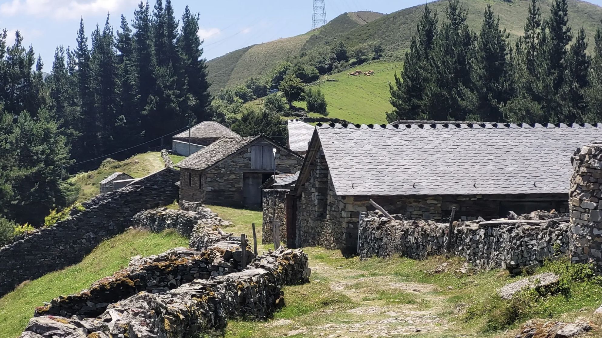
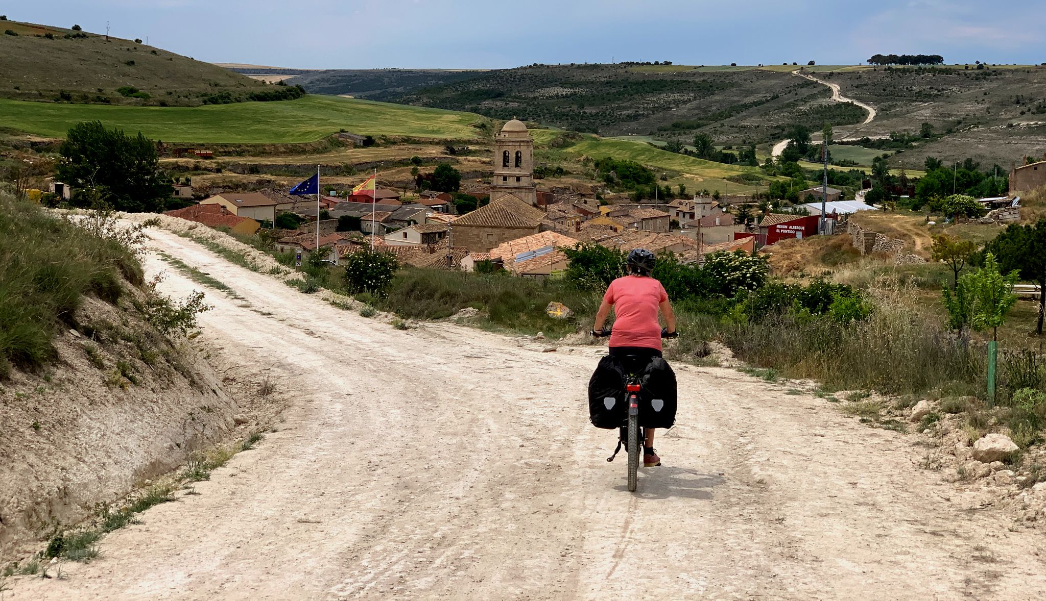
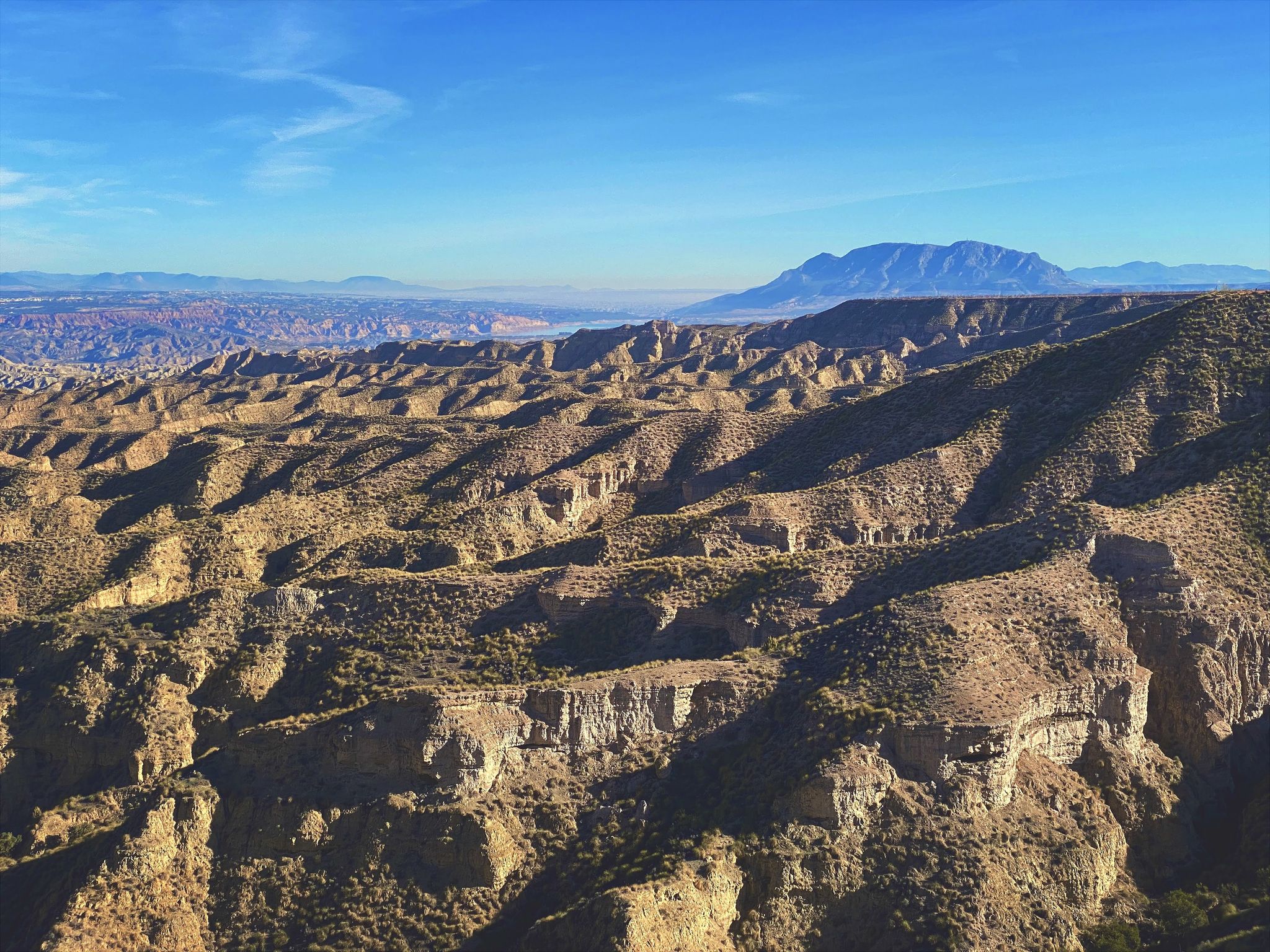
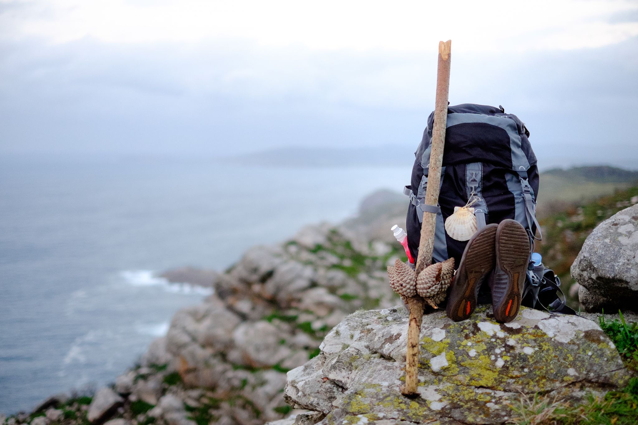


コミュニティからのヒント


General tourist information, free maps and brochures, cultural events calendar, details on accommodation and restaurants, guided tours, and train and bus timetables. Assistance with provincial plans, ecotourism, and sustainable tourism recommendations. Provides maps, brochures, and guidance for discovering Ourense and its surroundings.
1
0
Ourense's Plaza Mayor is one of the most emblematic spaces in the historic center: It's a porticoed square with a slight incline, making it unique in Galicia. The slope is used to create a very photogenic perspective. Since the Middle Ages, it has been the city's administrative and social center. Markets, public events, and neighborhood meetings were held here. Notable buildings: City Hall: a 19th-century neoclassical building with an elegant façade and balconies. Palaces and noble houses: several properties with heraldic shields and typical Galician galleries.
2
0
They are located in the historic center of Ourense, on Rúa das Burgas / Praza das Burgas, next to the Barbaña River. They are perfectly integrated into the urban environment, near the Cathedral and the Roman Bridge. Explored since Roman times, these waters were the origin of the city (Aquis Auriensis), and the remains include a 1st-century AD pool-sanctuary and votive stones dedicated to an indigenous deity. The water flows at approximately 64–68°C, with a flow rate of about 300 liters per minute. Rich in minerals such as metasilicates, fluoride, lithium, bicarbonate, and sodium, they are recommended for pruritic skin conditions and rheumatism. Recent studies support their beneficial effect on acne after washing with thermal water.
2
0
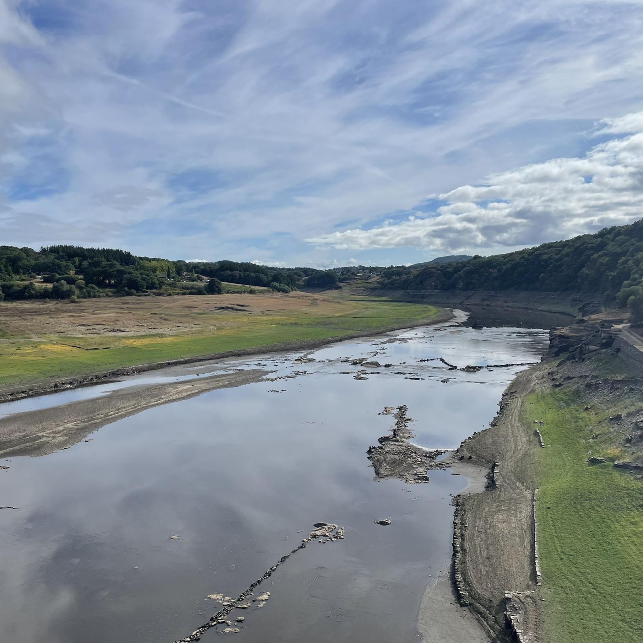
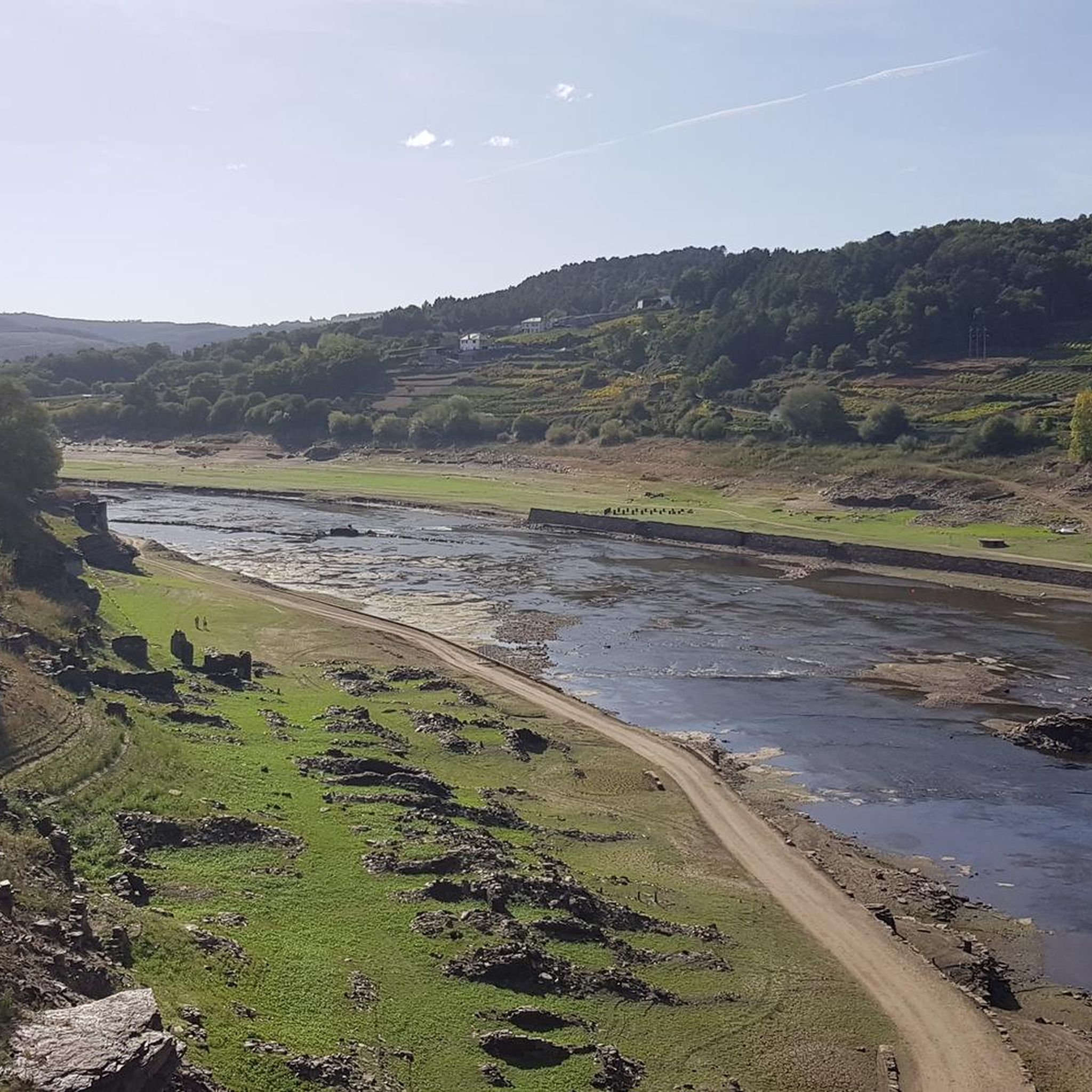
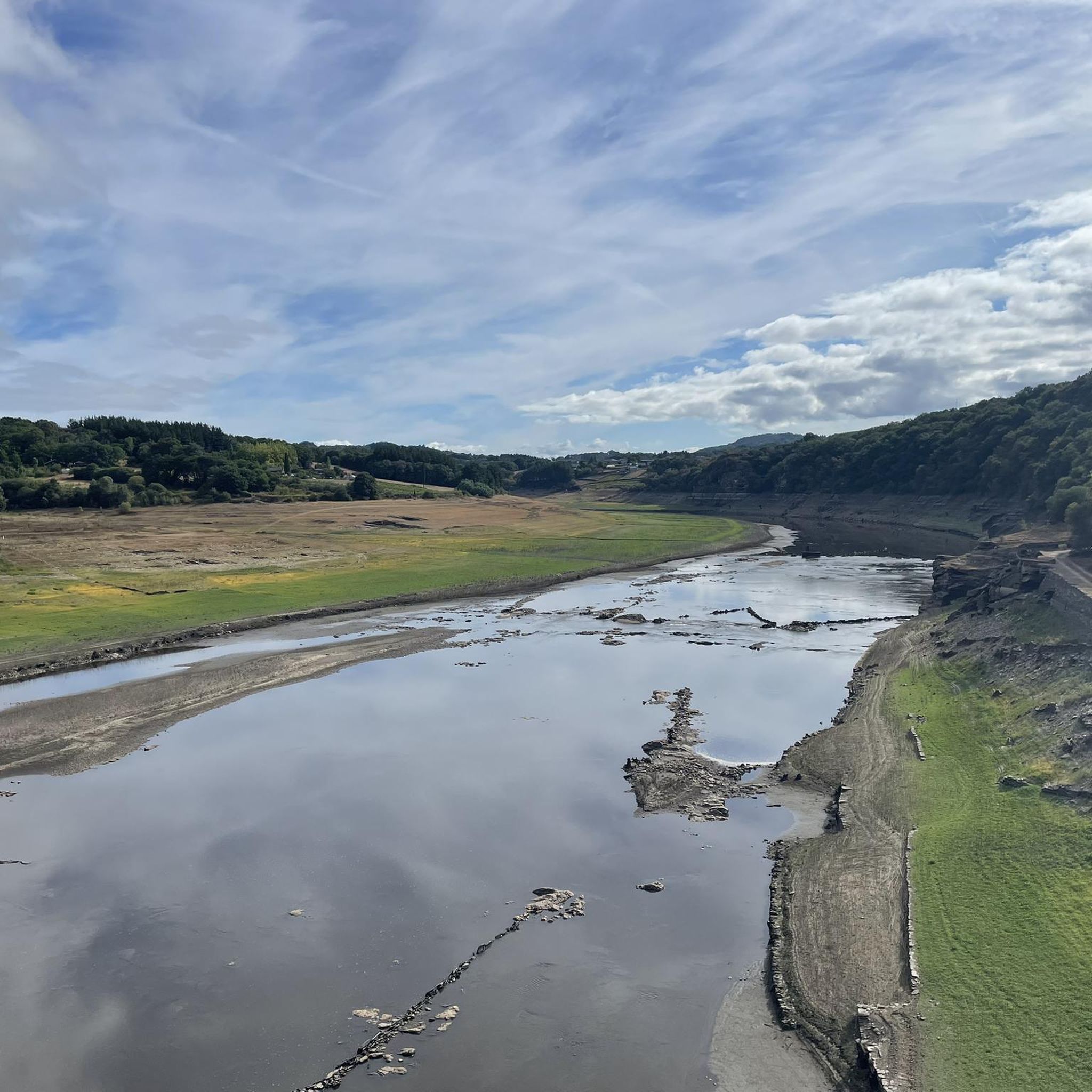
Location: in the municipality of Pereiro de Aguiar (Ourense), on the Loña River, a tributary of the Miño. Uses: water supply, irrigation, hydroelectric power generation, fishing; it is not navigable or suitable for swimming. Circular walk: approximately 4 km (3.7 km to be exact), easy difficulty, ideal for families and dogs—although they must be kept on a leash—offering shade, rest areas, and beautiful views.
1
0
Located on the banks of the Miño River, in the Outariz area, west of Ourense, right on the city's "Thermal Promenade." Parking: The Outariz/Reza parking lot (on the opposite bank) is available, as the Muiño da Veiga parking lot is closed for renovations. Public transport: City bus line 5; the unique Thermal Train, which stops at the facility.
1
0
It spans the Miño River, linking the historic center of Ourense with the A Ponte neighborhood. It was built in the 1st century AD as a branch of the Via Nova (Via XVIII), connecting Bracara Augusta (Braga) with Asturica Augusta (Astorga). Only traces of the original Roman phase remain, such as rusticated stonework at the ends near the banks. It suffered damage during the Middle Ages; in 1228, under Bishop Lorenzo and with the support of Ferdinand III, it was rebuilt with pointed arches and renovated approaches. Until the 17th century, the bridge repeatedly collapsed. The final work was directed by Melchor de Velasco Agüero around 1660, establishing its current appearance.
1
0

These sculpture posters have become fashionable
0
0
澪でのの人気観光スポット

komootモバイルアプリでインスピレーションを得よう


さらに探索
他の地域の最高のサイクリングルートを見てみましょう。
