澪のおすすめウォーキング&ハイキングルート
4.5
(698)
5,156
ハイカー
171
ハイキング
澪でのハイキングに出かけて、スールのこのエリアを探索してみませんか?このガイドでご紹介するのは、komootが澪でのハイキング・ウォーキングルートのコレクション全体を評価して選び抜いた、このエリアの人気ハイキングルートです。あなたに合った でのハイキングを見つけるには、他のユーザーがアップロードした役立つ情報や写真を閲覧し、各ルートに関するみんなの意見やコメントを参考にしましょう。
最終更新日: 10月 10, 2026
4.4
(40)
164
ハイカー
11.1km
02:55
100m
100m
Hike a moderate 6.9-mile loop in Ourense, exploring San Lázaro Park and enjoying historical views from the Ponte Romana.
4.8
(21)
98
ハイカー
4.92km
01:29
170m
170m
初級者向けハイキング. あらゆるフィットネスレベルに適しています。 進みやすいルートです。あらゆるスキルレベルに適しています。

4.3
(6)
46
ハイカー
12.0km
03:13
130m
130m
中程度のハイキング. ある程度のフィットネスレベルが必要です。 進みやすいルートです。あらゆるスキルレベルに適しています。
4.5
(6)
16
ハイカー
13.2km
03:30
130m
130m
Hike the moderate 8.2-mile Camiño do Miño Trail in Terras do Miño, featuring river views, historical bridges, and diverse landscapes.
4.5
(4)
21
ハイカー
12.1km
03:22
220m
220m
中程度のハイキング. ある程度のフィットネスレベルが必要です。 全般的に進みやすいルートです。安定して歩行できる技術が必要です。
4.5
(2)
10
ハイカー
15.2km
04:16
300m
300m
中程度のハイキング. ある程度のフィットネスレベルが必要です。 全般的に進みやすいルートです。安定して歩行できる技術が必要です。
5.0
(1)
3
ハイカー
15.4km
04:22
330m
330m
中程度のハイキング. ある程度のフィットネスレベルが必要です。 進みやすいルートです。あらゆるスキルレベルに適しています。
4.5
(42)
343
ハイカー
7.03km
01:52
70m
70m
初級者向けハイキング. あらゆるフィットネスレベルに適しています。 進みやすいルートです。あらゆるスキルレベルに適しています。
4.7
(31)
265
ハイカー
8.21km
02:09
70m
70m
中程度のハイキング. ある程度のフィットネスレベルが必要です。 進みやすいルートです。あらゆるスキルレベルに適しています。
4.9
(23)
189
ハイカー
19.7km
05:34
420m
420m
難しいハイキング. 標準以上のフィットネスレベルが必要です。 進みやすいルートです。あらゆるスキルレベルに適しています。
さらに多くのルートや他のユーザーのおすすめ情報を確認できます。
すでにアカウントをお持ちですか?
おすすめのツアーは他のkomootユーザーが実際に経験した何千ものアクティビティに基づいています。


コミュニティからのヒント

ミサのために隔週日曜日に開いている教会。それ以外は閉まっています。
0
0

Ourense's Plaza Mayor is one of the most emblematic spaces in the historic center: It's a porticoed square with a slight incline, making it unique in Galicia. The slope is used to create a very photogenic perspective. Since the Middle Ages, it has been the city's administrative and social center. Markets, public events, and neighborhood meetings were held here. Notable buildings: City Hall: a 19th-century neoclassical building with an elegant façade and balconies. Palaces and noble houses: several properties with heraldic shields and typical Galician galleries.
2
0
Location: in the municipality of Pereiro de Aguiar (Ourense), on the Loña River, a tributary of the Miño. Uses: water supply, irrigation, hydroelectric power generation, fishing; it is not navigable or suitable for swimming. Circular walk: approximately 4 km (3.7 km to be exact), easy difficulty, ideal for families and dogs—although they must be kept on a leash—offering shade, rest areas, and beautiful views.
1
0
It spans the Miño River, linking the historic center of Ourense with the A Ponte neighborhood. It was built in the 1st century AD as a branch of the Via Nova (Via XVIII), connecting Bracara Augusta (Braga) with Asturica Augusta (Astorga). Only traces of the original Roman phase remain, such as rusticated stonework at the ends near the banks. It suffered damage during the Middle Ages; in 1228, under Bishop Lorenzo and with the support of Ferdinand III, it was rebuilt with pointed arches and renovated approaches. Until the 17th century, the bridge repeatedly collapsed. The final work was directed by Melchor de Velasco Agüero around 1660, establishing its current appearance.
1
0

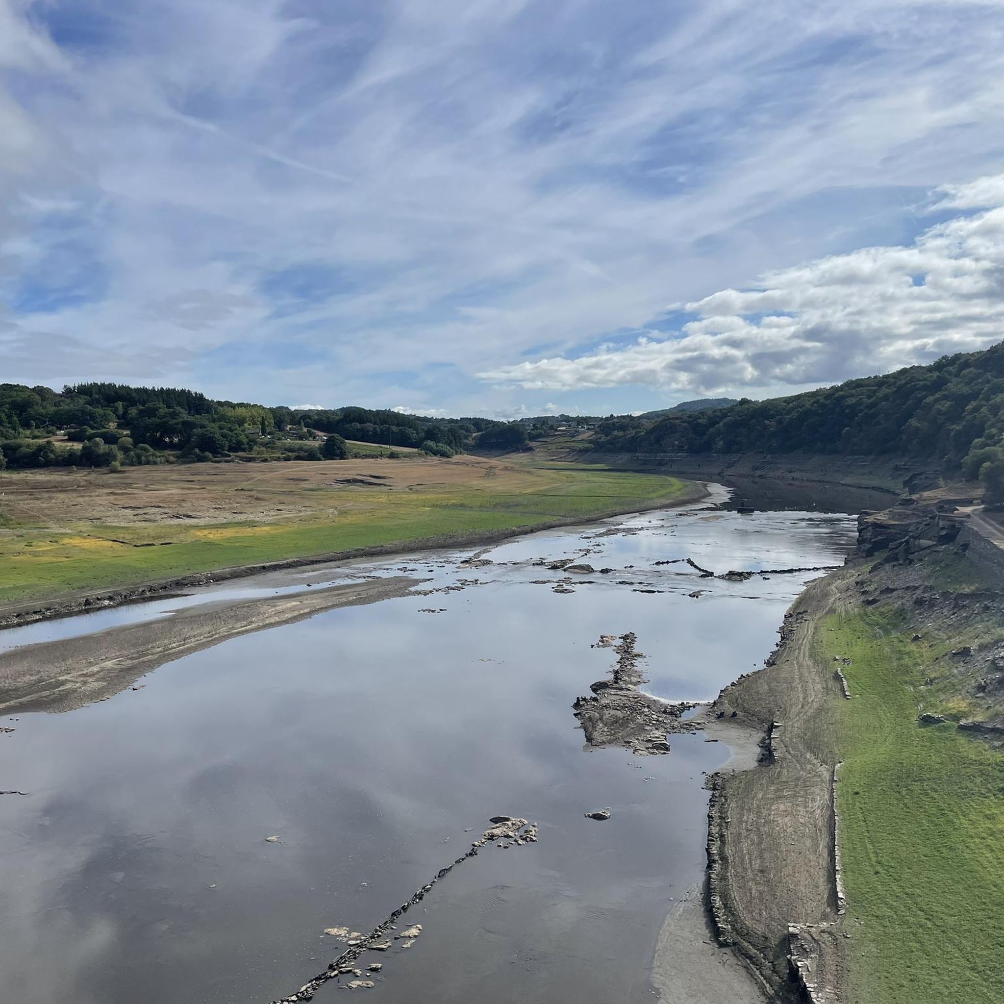
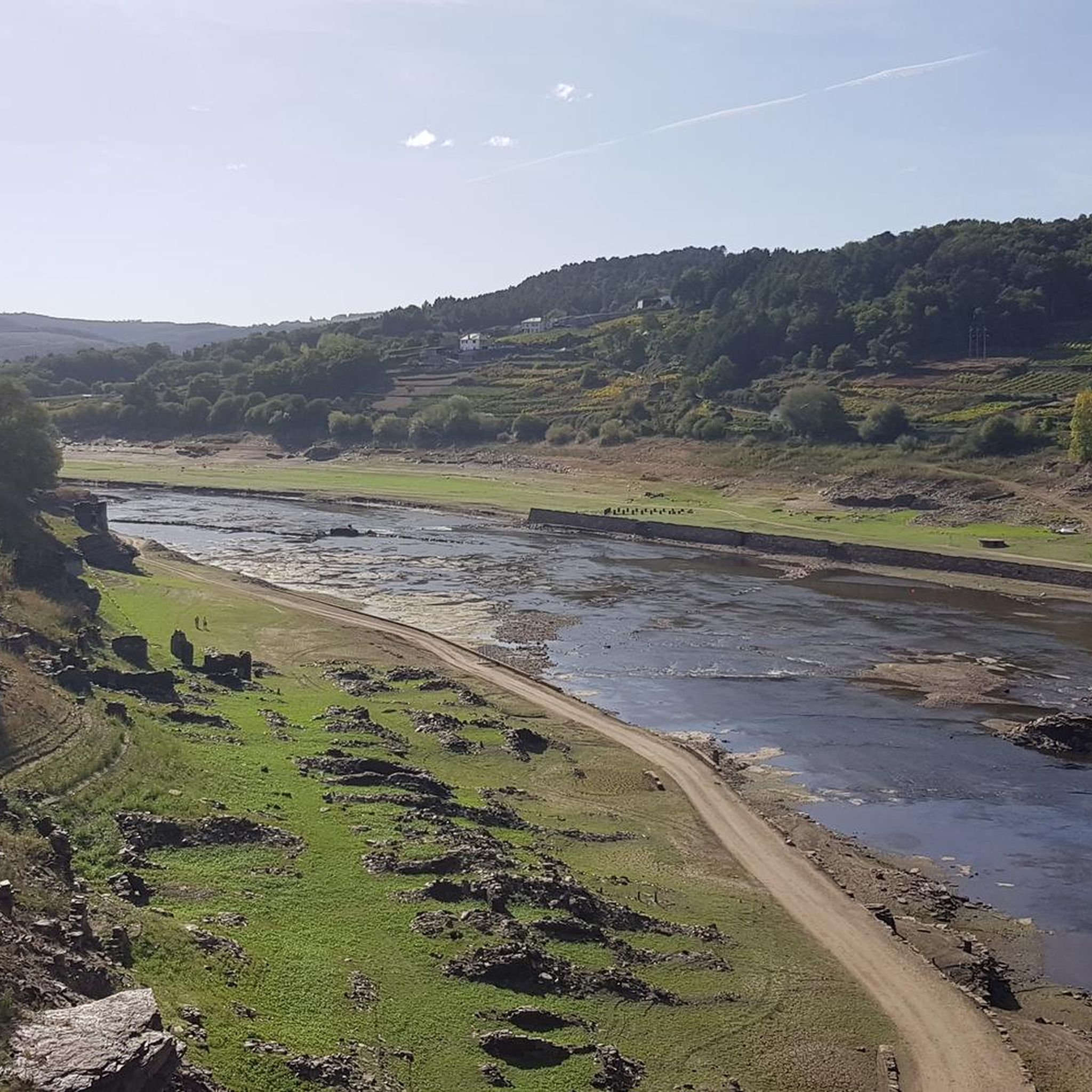
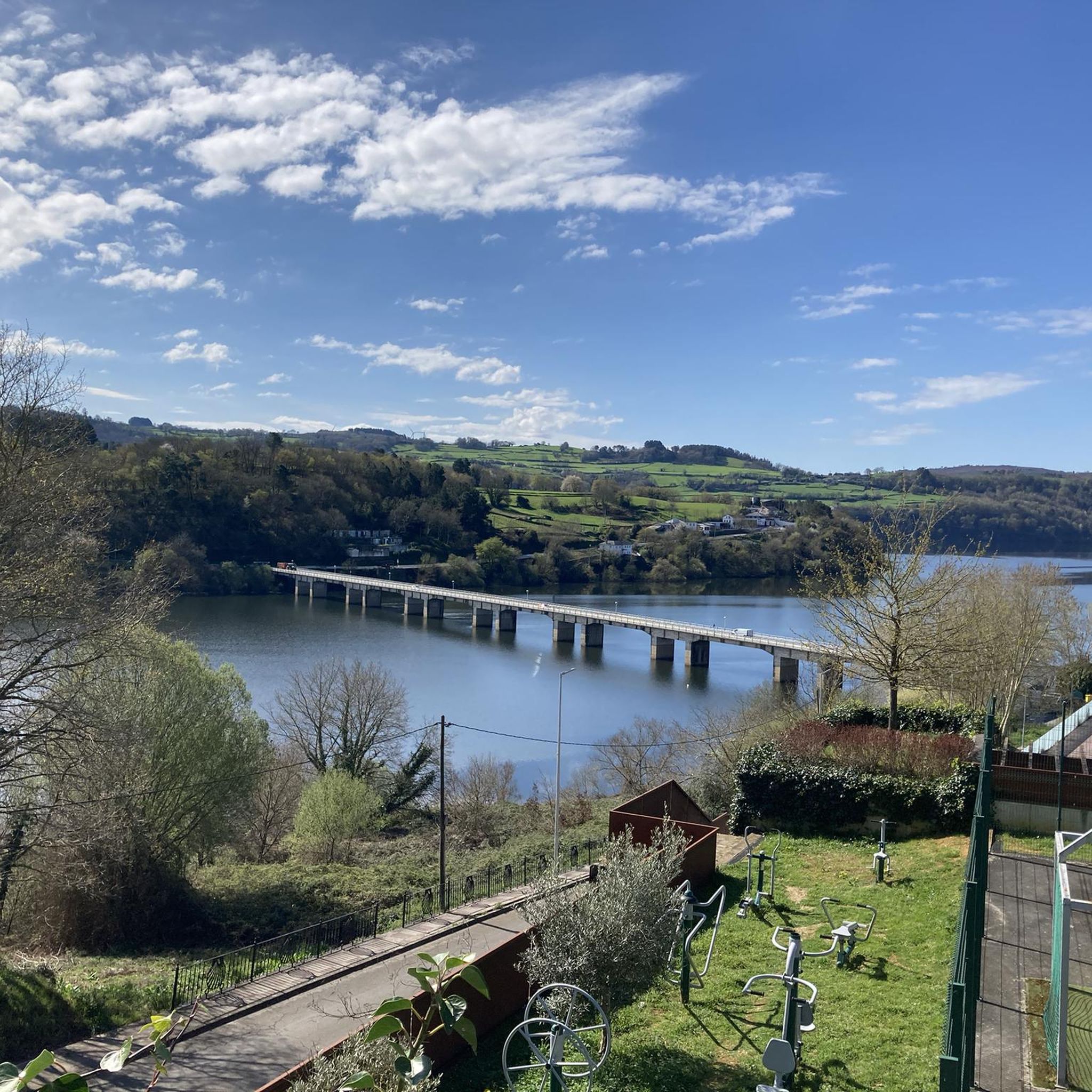
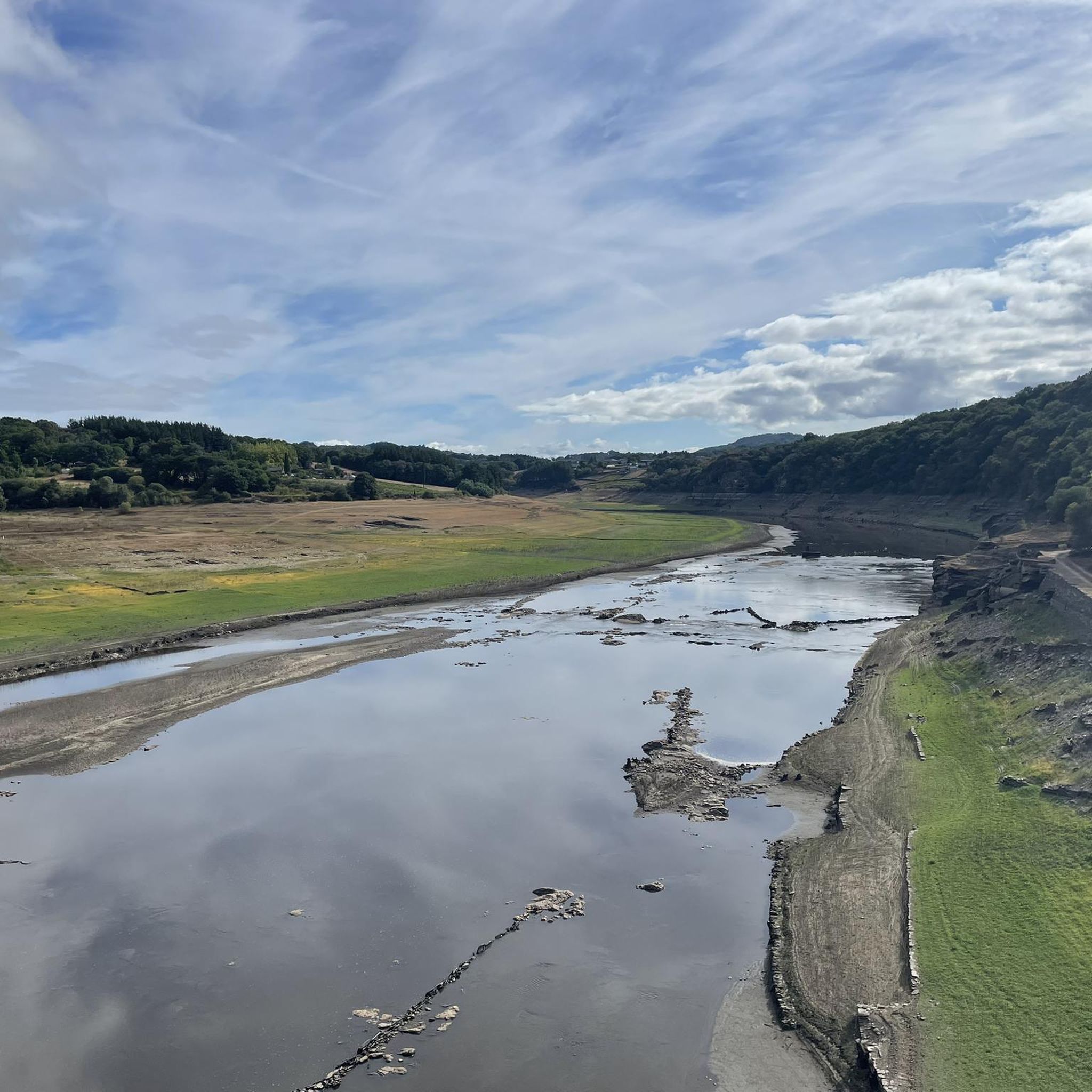
To get to Portomarin, you have to cross this bridge. At low tide, you can see the remains of the old Portomarin.
2
0
If you choose to explore this route, you'll be surrounded by nature, history, and breathtaking views. Enjoy your hike! 🏞️🚶♂️🥾🚵🌞
4
0

Magnificent mystical views on the Ferreiros to Castromajor stage, at 7:00 a.m.
1
0

Very old chapel. Unfortunately closed.
1
1
澪でのの人気観光スポット

komootモバイルアプリでインスピレーションを得よう


さらに探索
他の地域の最高のハイキングを見てみましょう。
