マルクドルフのおすすめウォーキング&ハイキングルート
4.5
(13366)
62,988
ハイカー
200
ハイキング
マルクドルフ 周辺でおすすめのハイキングやウォーキングを楽しんでいただけるように、このエリアの小径やルートを集めたkomootコレクション全体を見直しました。 以下で各ルートの詳細をご覧になり、マルクドルフ周辺の大自然を満喫する際の参考にしてください。
最終更新日: 10月 20, 2026
4.8
(289)
1,025
ハイカー
14.7km
04:14
350m
350m
中程度のハイキング. ある程度のフィットネスレベルが必要です。 進みやすいルートです。あらゆるスキルレベルに適しています。
4.5
(39)
152
ハイカー
6.20km
01:44
120m
120m
初級者向けハイキング. あらゆるフィットネスレベルに適しています。 進みやすいルートです。あらゆるスキルレベルに適しています。

4.6
(45)
209
ハイカー
9.40km
02:46
270m
270m
中程度のハイキング. ある程度のフィットネスレベルが必要です。 進みやすいルートです。あらゆるスキルレベルに適しています。
4.6
(57)
216
ハイカー
12.1km
03:11
100m
100m
中程度のハイキング. ある程度のフィットネスレベルが必要です。 進みやすいルートです。あらゆるスキルレベルに適しています。
4.6
(49)
150
ハイカー
6.53km
02:02
240m
240m
中程度のハイキング. ある程度のフィットネスレベルが必要です。 進みやすいルートです。あらゆるスキルレベルに適しています。
さらに多くのルートや他のユーザーのおすすめ情報を確認できます。
すでにアカウントをお持ちですか?
おすすめのツアーは他のkomootユーザーが実際に経験した何千ものアクティビティに基づいています。
無料アカウントで今日から始めよう
次の冒険が待っています。
マルクドルフ周辺で人気
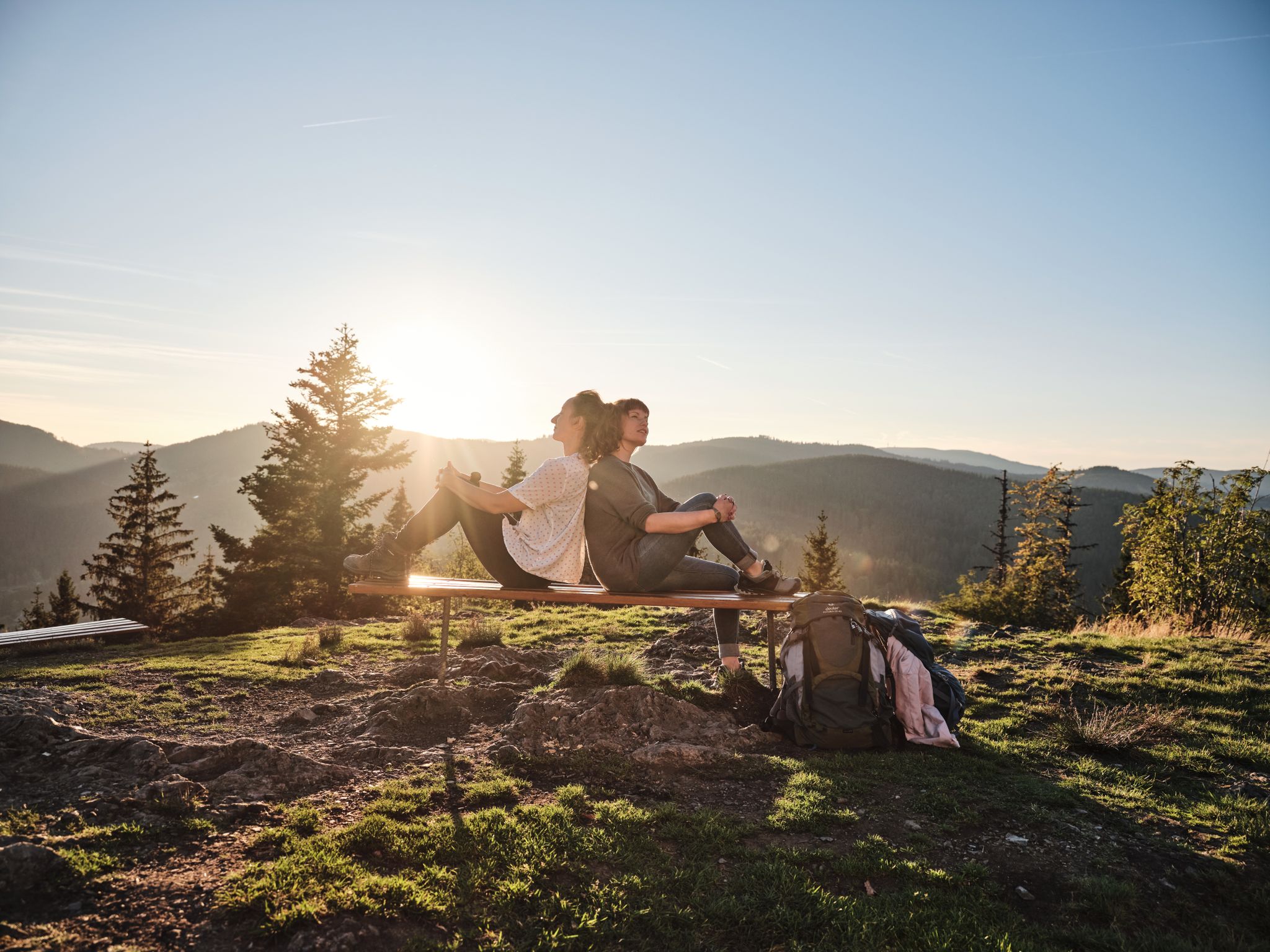
Hiking the Süden – between Black Forest, Lake Constance and Swabian Alb

ボーデンゼークライスのユビラウムスヴェグでコンスタンツ湖を探索する
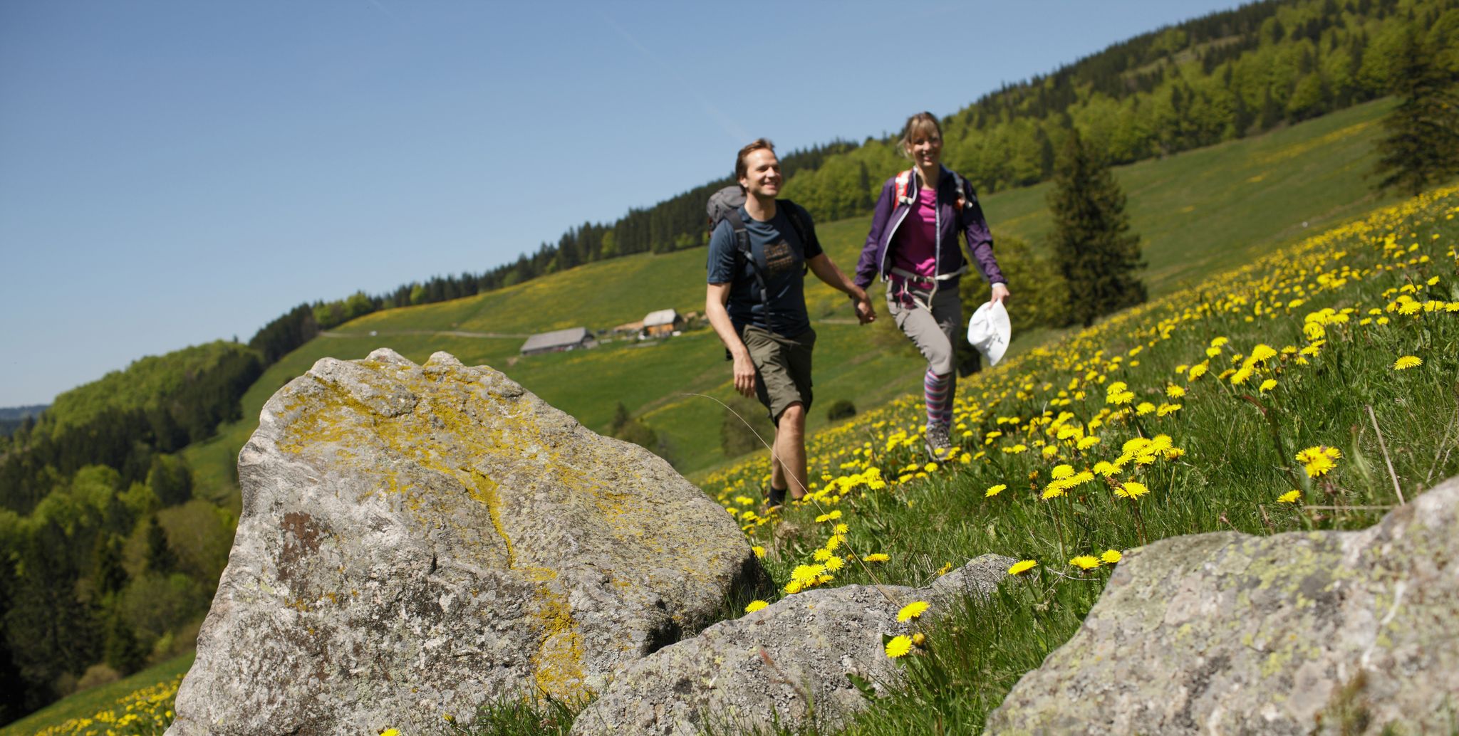
Spring in Germany’s Southwest – where hiking is best!
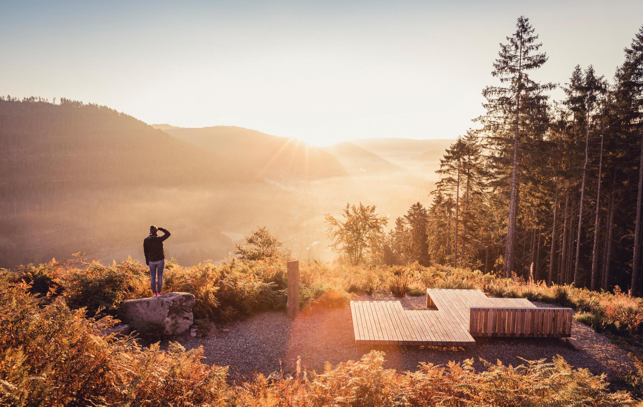
Autumn magic in the southwest – vibrant hiking in Baden-Württemberg
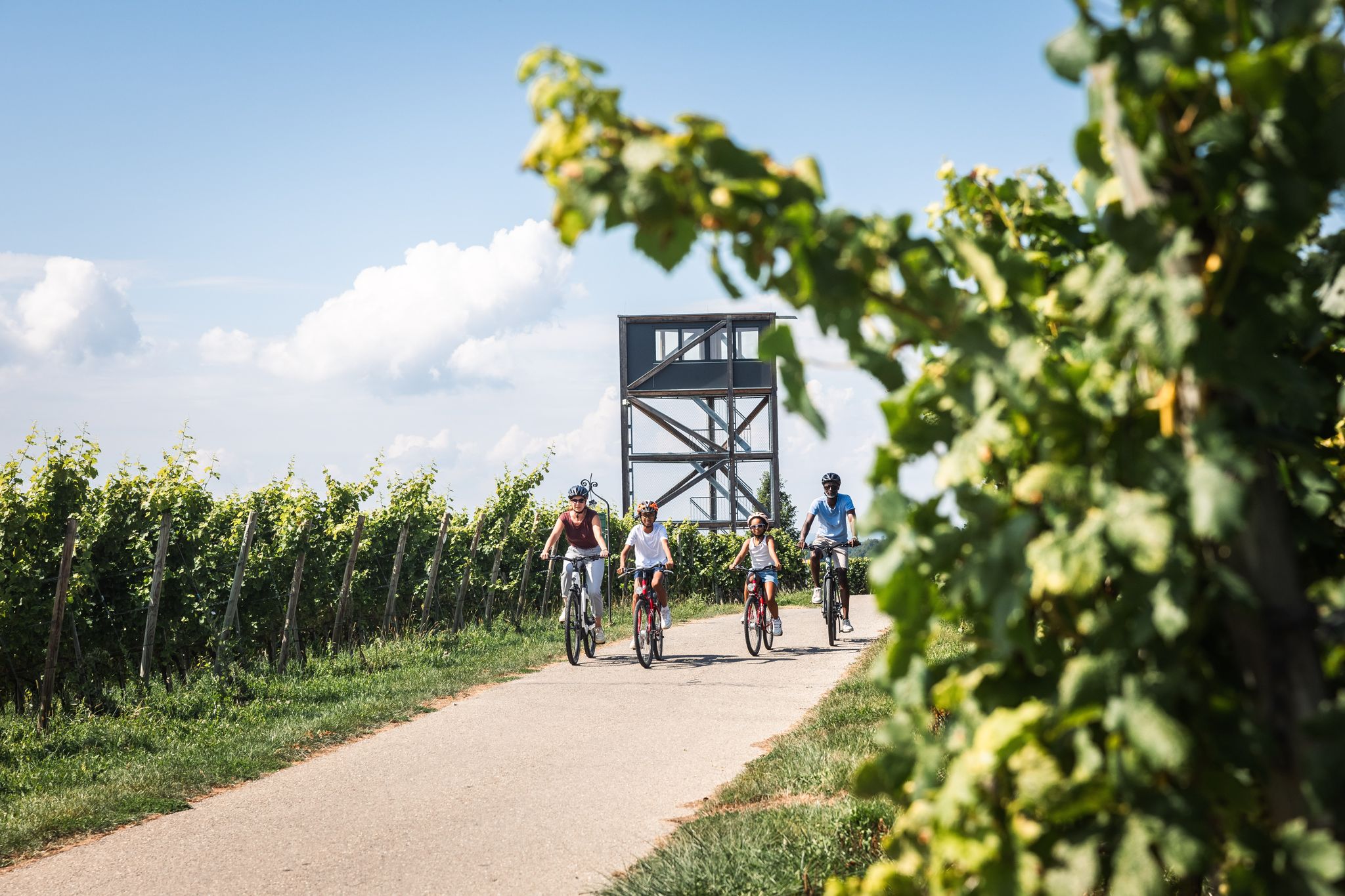
Lake Constance for young & old: cycling, swimming, picnicking, enjoying
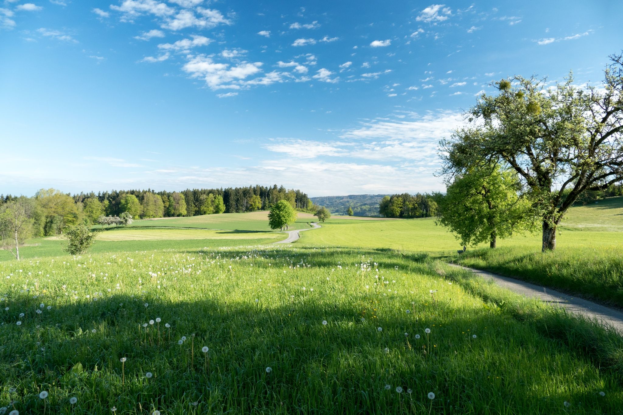
Hügel, Hochmoore und Hochbarock – der Oberschwaben-Allgäu-Radweg
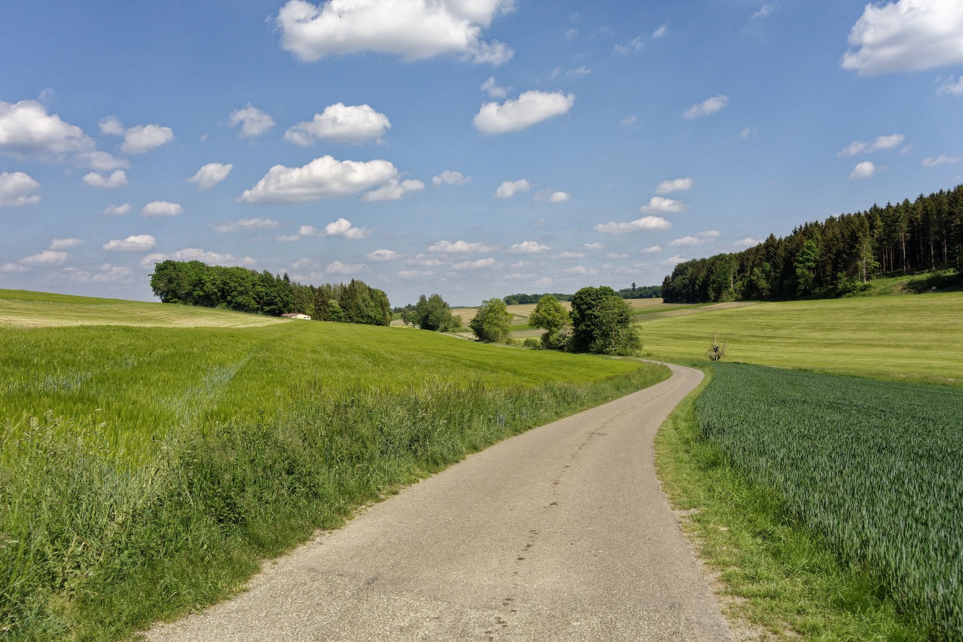
ドイツのOberschwaben-Allgäu CYCLE PATHを発見
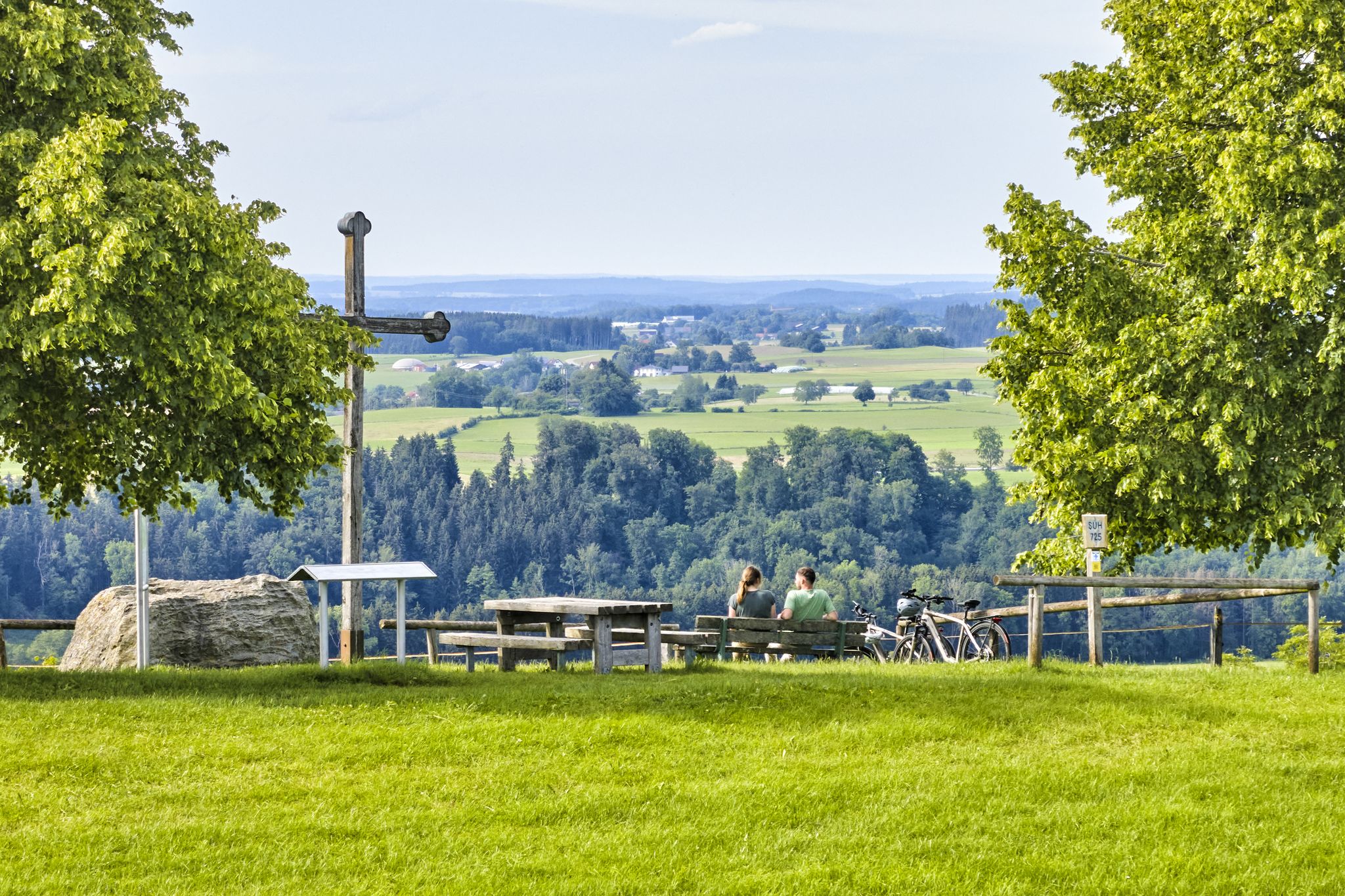
Cycling through Upper Swabia in Germany – beautiful paths & landscapes
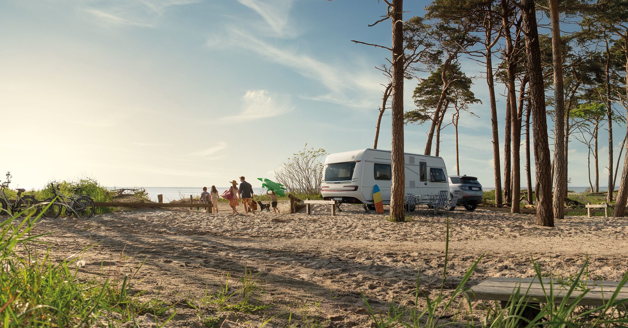
Dein Caravaning-Abenteuer – Touren direkt ab dem Campingplatz
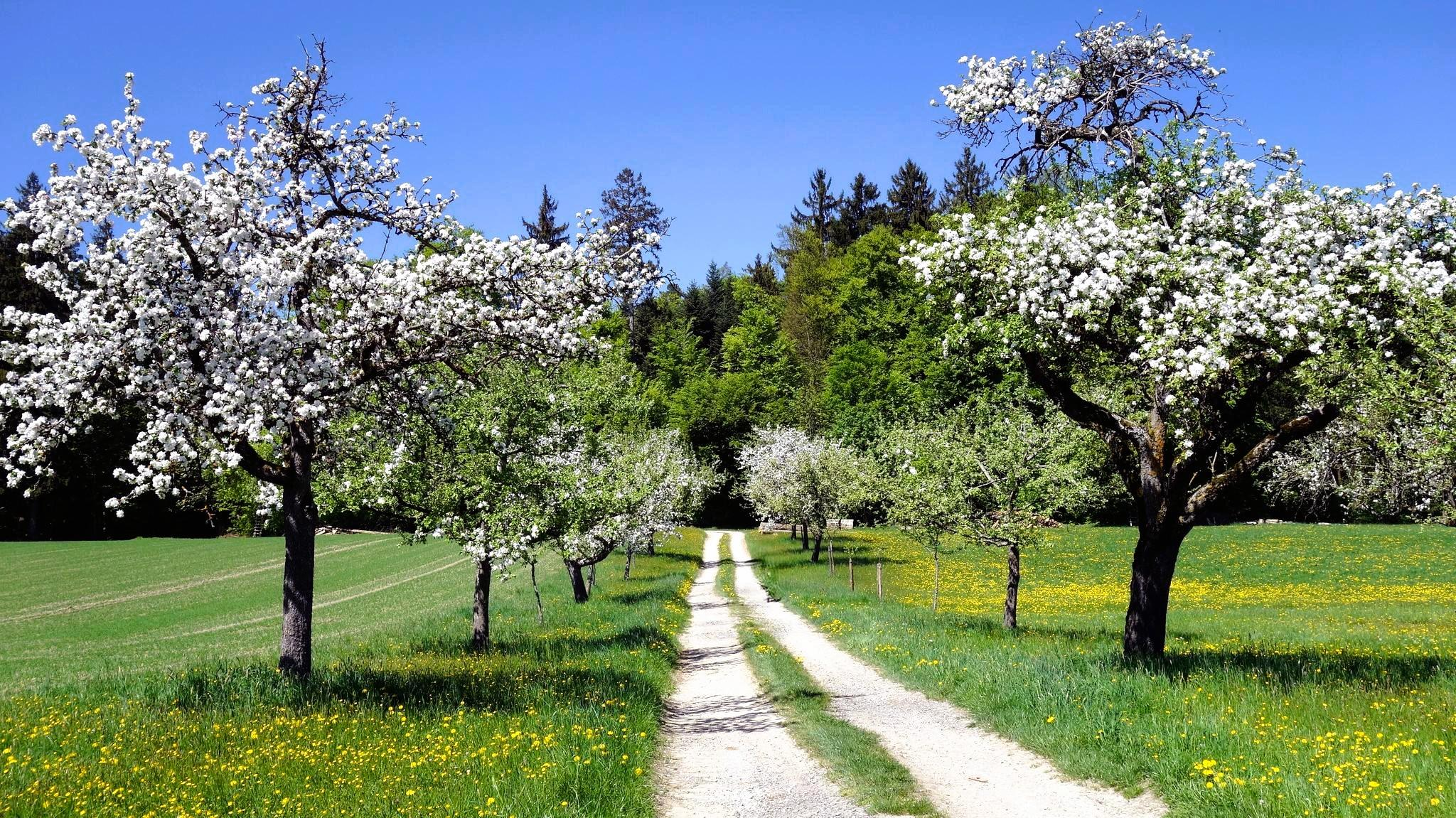
Aktiv in die längeren Tage – Frühlingswandern im Allgäu und Oberschwaben
マルクドルフでのの他の冒険


コミュニティからのヒント

Mega view from up here
0
0

You can find it right next to the parking lot next to the entrance to the Geographical Center of the Bodensee region
0
0
A great place to leave the car and hit the trails, plenty of space, and a place to rest after a hike or bike ride.
0
0
Entrance from the lower parking lot, or the parking lot next door, or on foot from the observation tower.
2
0
Parking lot with trail information and rest areas.
1
0


You can walk all the way around the reservoir. Its front is very beautiful, but you can also enjoy a view from the top, from an elevated position, towards Lake Constance.
6
0

komootモバイルアプリでインスピレーションを得よう


さらに探索
他の地域の最高のハイキングを見てみましょう。
