パルコナチュラルリージョナルデッレプレアルピジュリー周辺のアトラクション&必見スポット - トップ20
パルコナチュラルリージョナルデッレプレアルピジュリーには必見のスポットがたくさんあります。ハイキング愛好家やサイクリング愛好家の方は、ぜひパルコナチュラルリージョナルデッレプレアルピジュリーを探索してこのエリアにある20
の隠れたスポットを訪れてみてください。このエリアの必見スポットを確認し、次の冒険に出かける計画を立てましょう。
最終更新日: 8月 31, 2026
エリオ・フランツ避難小屋
ハイライト • 山小屋
翻訳者 Google •
役立つ情報 は

リコヴェーロ・カセーラ・ニシュキウアルク(避難小屋)
ハイライト • 山小屋
翻訳者 Google •
役立つ情報 は

今すぐサインアップして、こんな場所を発見しよう
最高のシングルトラック、ピーク、その他のエキサイティングなアウトドアスポットのおすすめを受け取ろう。
無料新規登録
レシア渓谷のサイクリングロード
ハイライト (セグメント) • サイクリングロード
翻訳者 Google •
役立つ情報 は

レサルティコ避難小屋(鉱山の集落)
ハイライト • 山小屋
翻訳者 Google •
役立つ情報 は

セッラ・グルビア
ハイライト • 山道
翻訳者 Google •
役立つ情報 は

無料でサインアップして、さらに多くの観光スポットを発見しましょう パルコナチュラルリージョナルデッレプレアルピジュリーでの。
無料新規登録
すでにアカウントをお持ちですか?
無料アカウントで今日から始めよう
次の冒険が待っています。
ログインまたは登録

コミュニティからのヒント

Hello! And welcome to the Julian Prealps Natural Park. To enjoy your experience to the fullest and with respect, we invite you to follow a few simple rules—they're our way of saying "thank you" to this extraordinary environment: - Bring home memories, not flowers: take all the photos you want, but leave plants, fossils, and any natural artifacts intact. - Dogs are welcome, but always on a leash: this way you protect the wildlife and themselves. - No wild camping: nature rests here at night, just like you! - Silence, the mountains speak: no loud music, shouting, or bright lights—let the sounds of the forest be your soundtrack. - Stay on the trail: walking off-trail damages delicate habitats. - Hunting is prohibited: animals live peacefully here, as they should everywhere. - Watch out for ticks: ticks are present throughout the Friuli Venezia Giulia region, so it's important to learn about prevention and protection techniques! Don't throw away your trash: everything you bring with you (snacks, bottles, tissues, etc.), take it home. The mountain is not a trash can. Nature thanks you! And if you need information, write to us at info@parcoprealpigiulie.it
0
0
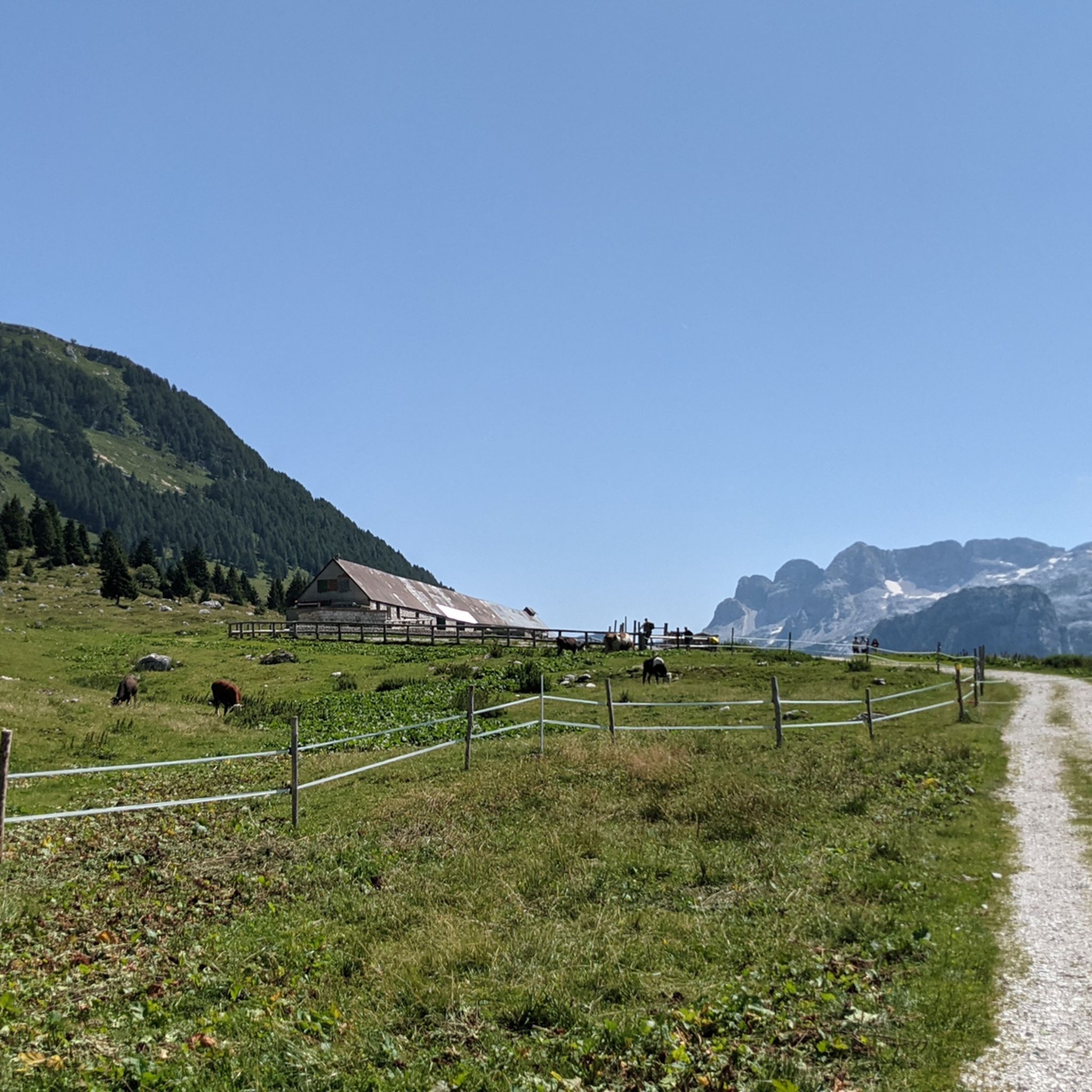
The Nischiuarch Alpine Hut is located in a beautiful grassy valley west of the mountain of the same name. Located at just under 1,200 meters above sea level, it is a convenient base at the eastern end of the long Musi mountain range. Completely renovated, the hut consists of two buildings: the one that is always open has a ground-floor room with a stove, table, bench, and adjoining cellar, while upstairs there are a couple of bed frames with mattresses. It can be reached from S. Anna di Carnizza in about an hour, or via CAI trail no. 739, Passo Tanamea, in the municipality of Lusevera, S.S. 646, in about an hour and a half. Useful Information - Water: Non-potable, but available depending on seasonal weather conditions - Beds: 6 - Wood-burning stove, some dishes, small pantry with basic necessities - Firewood: A small supply is available at the facility or easily found in the surrounding woods The facility also has 14 additional beds in the area reserved for recognized institutions and associations. Keys can be requested by emailing info@parcoprealpigiulie.it Shelters are a valuable asset to our area, providing hikers with a valuable base for trekking. When using them, it is important not to leave any traces of your presence, so we recommend: - Do not leave food easily accessible to mice and other animals; - Clean common areas; - Take all waste down to the valley. This facility is always open and unmanaged; maintenance is handled by the Park Authority with the essential contribution of local volunteers and all users! More info at: https://www.parcoprealpigiulie.it/it/principale/attivita/ricoveri-montani/ricovero-casera-nischiuarch
0
0
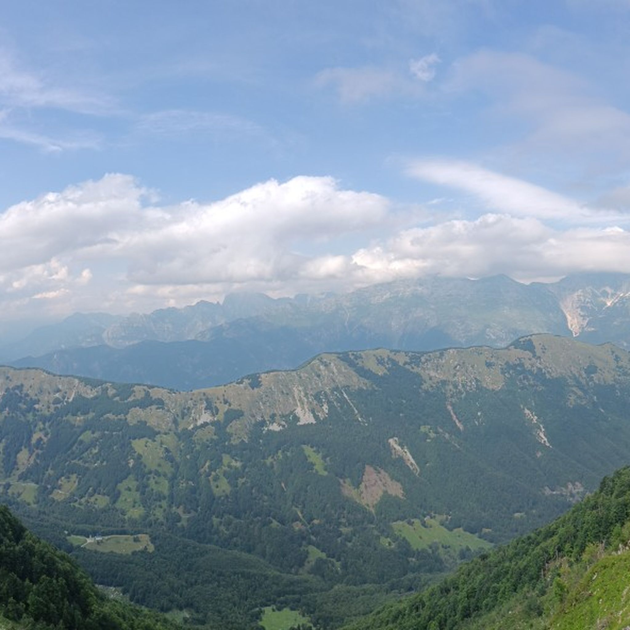
ATTENTION Hikers are advised that the Franz Shelter in the municipality of Venzone will be closed until the ongoing extraordinary maintenance work is completed! The Franz Shelter is located in the Cuel de Frate area. It is a modest but well-equipped structure, complete with a stove, tables, and a bench. It can be easily reached via the CAI trail no. 701 from Tugliezzo in just over an hour. Alternatively, it can be reached on foot via the forest road (closed to vehicles) that ends right next to the shelter, also starting from Tugliezzo. It is a popular destination in all seasons as a starting point for hikes to Mount Plauris or the Cjariguart Valley. Beds: 4 Water: non-potable, but available depending on seasonal weather conditions. It is always open and unmanaged. Maintenance is handled by the Park Authority with the essential contribution of local volunteers and all users! More info at: https://www.parcoprealpigiulie.it/it/principale/attivita/ricoveri-montani/ricovero-franz
1
0

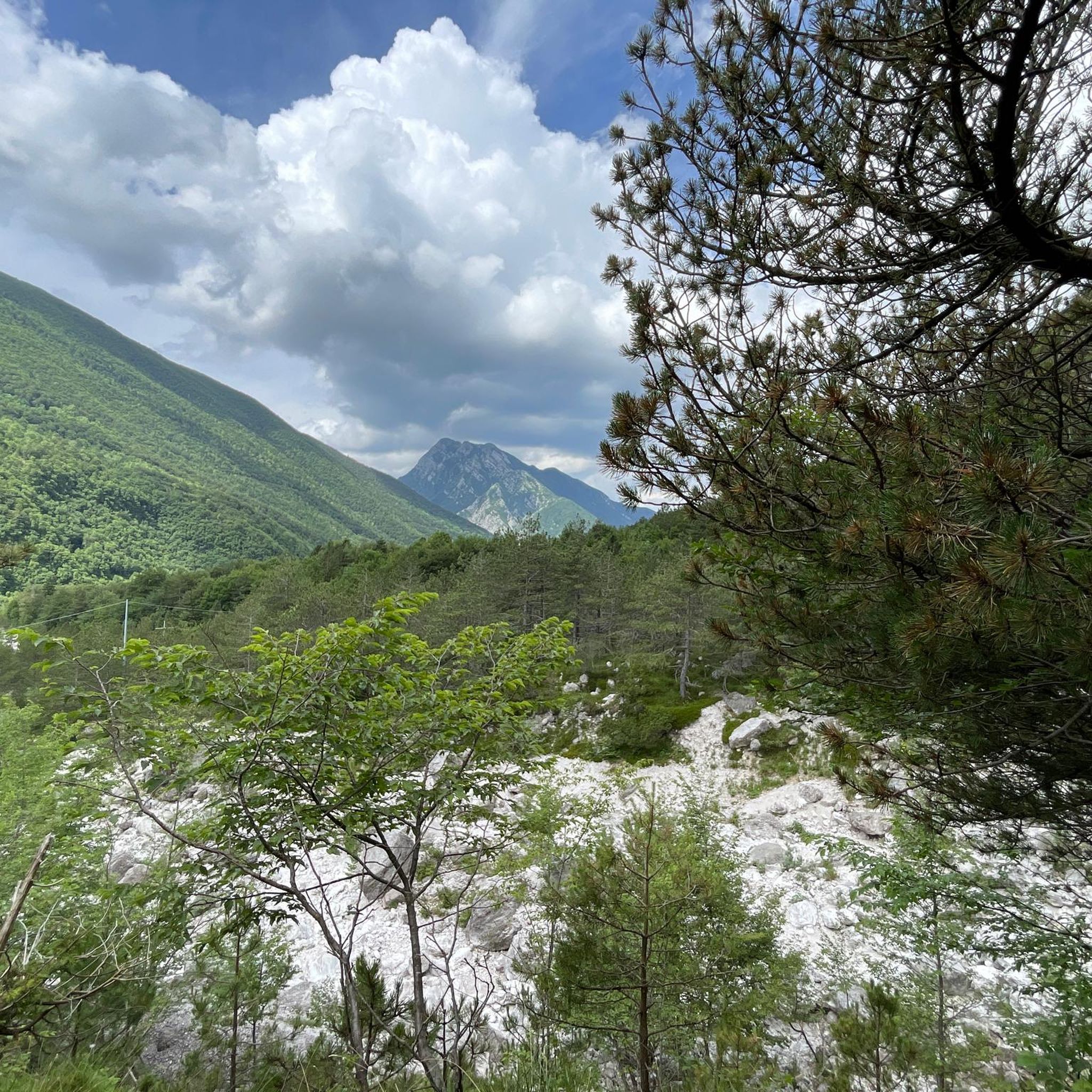
Bike paths like this one are built to top-notch quality in Italy, nothing to complain about. The route runs to San Giorgio and has the feel of a paved surface, covered in white concrete in many places and covered with soft, white gravel: like a Strade Bianchi up the mountain. It's a rather unique bike path with two river crossings over small bridges. It blends beautifully into the natural surroundings and provides a little adventure.
0
0

Beautiful dirt cycle path to San Giorgio di Resia
0
0

Dirt path with some ups and downs along the Resia stream
0
0
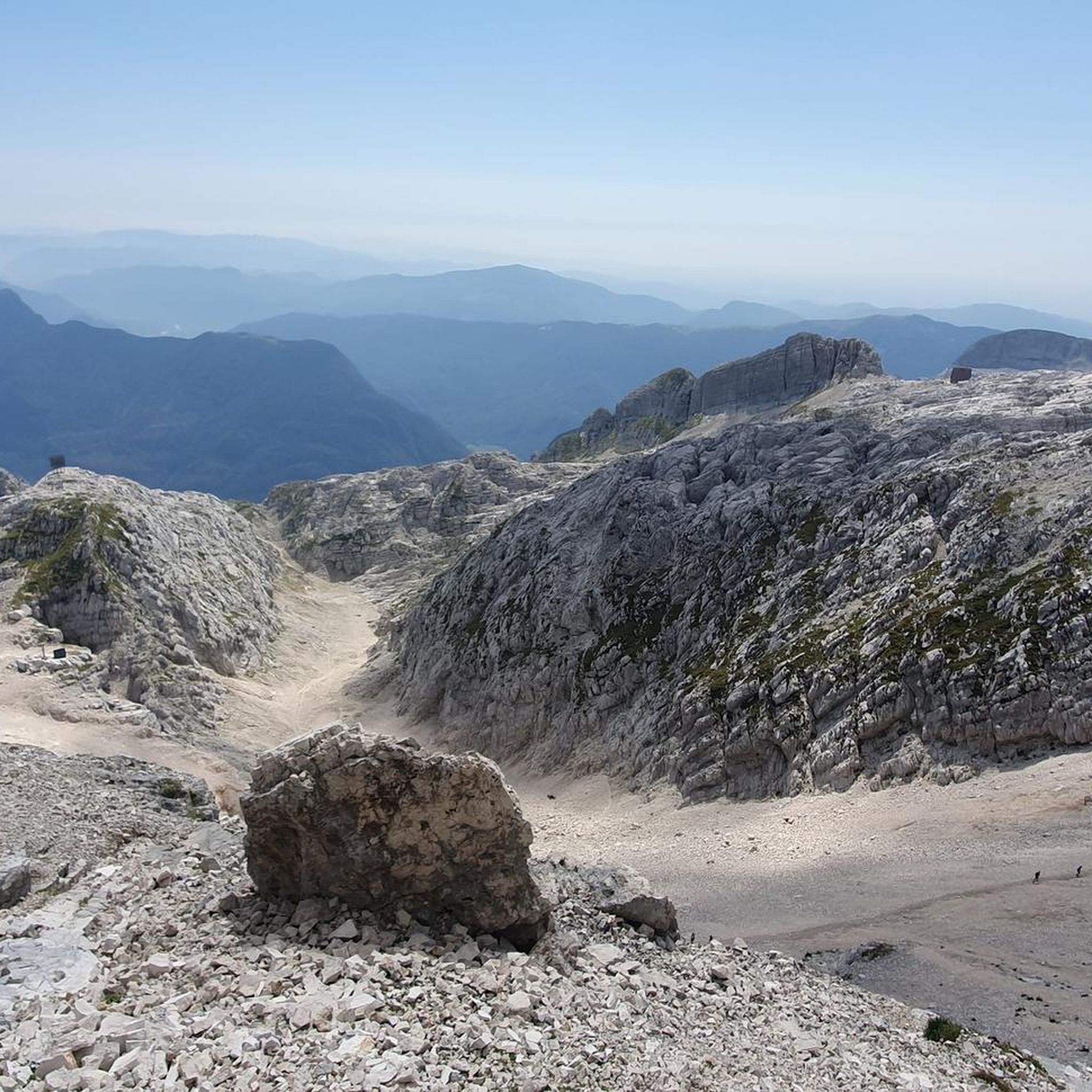
The Ricovero Resartico is located in the old miners' village, in the municipality of Resiutta in the upper valley of the Rio Resartico, on the northern slopes of Mount Lavara and Plauris. The refuge is an excellent starting point towards Forca Slips or for a guided tour of the mine entrance, accessible in the summer. The refuge can be reached via the CAI path no. 702 with an hour and a half's walk from the car park located after the Povici di Sopra locality at the entrance to the valley. Useful information Beds: 4-6 Water: non-potable It is a structure that is always open and not managed, maintenance is taken care of by the Park Authority with the fundamental contribution of local volunteers and all users! The huts are a precious asset for our territory, guaranteeing hikers a valid support point for trekking. In case of use it is important not to leave traces of your passage, therefore we recommend: Put out the fire; Do not leave food easily accessible to mice and other animals; Clean common areas; Take all types of waste down the valley
5
0

Unpaved, but well-beaten cycle path. Suitable for any type of bicycle. has slight climbs, around 7/8% and smooth descents. In case of rain, be careful of a ford with a stony bottom. At the end of the route you have to cross a wooden bridge, passing over a piece of wood not too wide, so be careful Eng: Unpaved, but well-beaten cycle path. Suitable for any type of bicycle. has slight climbs, around 7/8% and smooth descents. In case of rain, be careful of a ford with a stony bottom. At the end of the route you have to cross a wooden bridge, passing over a piece of wood not too wide, so be careful
1
0
パルコナチュラルリージョナルデッレプレアルピジュリーでのの人気ルート
パルコナチュラルリージョナルデッレプレアルピジュリーでのの人気観光スポット

komootモバイルアプリでインスピレーションを得よう


さらに探索
まだ探しているハイライトが見つかりませんか?他の地域のトップアトラクションのガイドを見てみましょう:
