トゥーン周辺のおすすめバス停からハイキング&ウォーキング
4.6
(2927)
21,340
ハイカー
549
ハイキング
Bus station hiking trails around Verwaltungskreis Thun are characterized by diverse landscapes, including the expansive Lake Thun, the Bernese Alps, and the Zulg Valley. The region features prominent peaks like Niesen Mountain and Stockhorn, offering varied elevations and panoramic viewpoints. Hikers can explore a mix of forested areas, open meadows, and river trails, alongside impressive gorges. This terrain provides a range of experiences from lakeside paths to more demanding alpine ascents.
Best bus station hiking trails around Verwaltungskreis Thun
- The…
最終更新日: 9月 3, 2026
4.8
(98)
796
ハイカー
11.9km
05:32
960m
960m
Hike the difficult 7.4-mile Sigriswil Rothorn Panorama Trail (Route 326) for alpine views and a challenging ascent.
4.6
(77)
285
ハイカー
6.10km
02:04
310m
310m
中程度のハイキング. ある程度のフィットネスレベルが必要です。 進みやすいルートです。あらゆるスキルレベルに適しています。

4.6
(47)
200
ハイカー
12.5km
04:15
640m
640m
中程度のハイキング. ある程度のフィットネスレベルが必要です。 全般的に進みやすいルートです。安定して歩行できる技術が必要です。
4.6
(42)
378
ハイカー
11.3km
02:51
20m
20m
中程度のハイキング. ある程度のフィットネスレベルが必要です。 進みやすいルートです。あらゆるスキルレベルに適しています。
4.5
(36)
109
ハイカー
13.3km
04:55
830m
830m
中程度のハイキング. ある程度のフィットネスレベルが必要です。 全般的に進みやすいルートです。安定して歩行できる技術が必要です。
さらに多くのルートや他のユーザーのおすすめ情報を確認できます。
すでにアカウントをお持ちですか?
おすすめのツアーは他のkomootユーザーが実際に経験した何千ものアクティビティに基づいています。
無料アカウントで今日から始めよう
次の冒険が待っています。
トゥーン周辺で人気
トゥーン湖のバス停からハイキング
アムソルディンガー湖のバス停からハイキング
ウエーベシ湖のバス停からハイキング
ホムベルクのバス停からハイキング
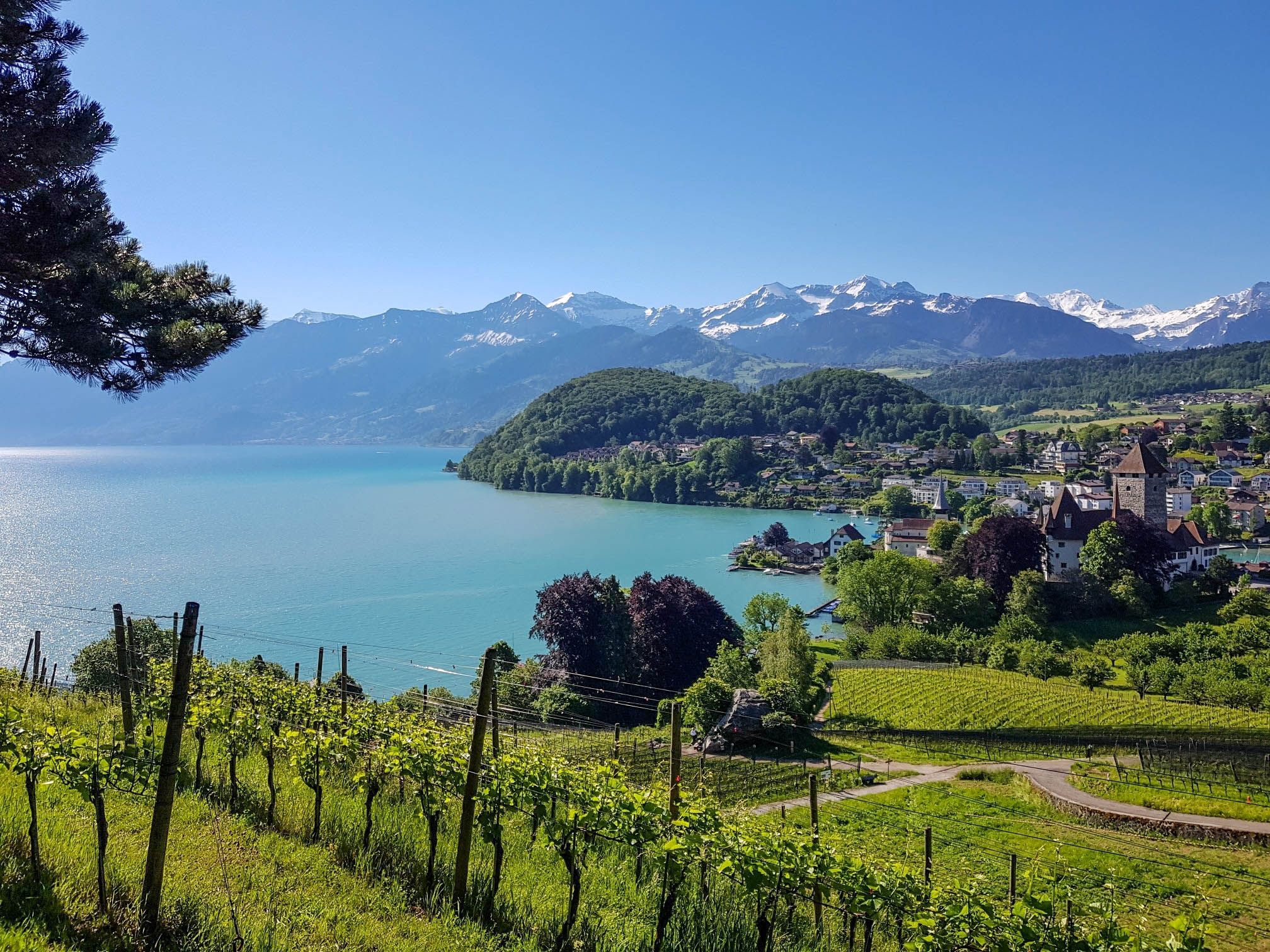
スイスのスーン湖を囲むパノラマ帯状トレイル - レイクビューがたまにならない
Mighty peaks and turquoise lakes – hiking in Interlaken in Switzerland
Let it snow! Winter hikes in the Bernese Oberland
Magnificent Bernese Oberland – Hiking around Interlaken
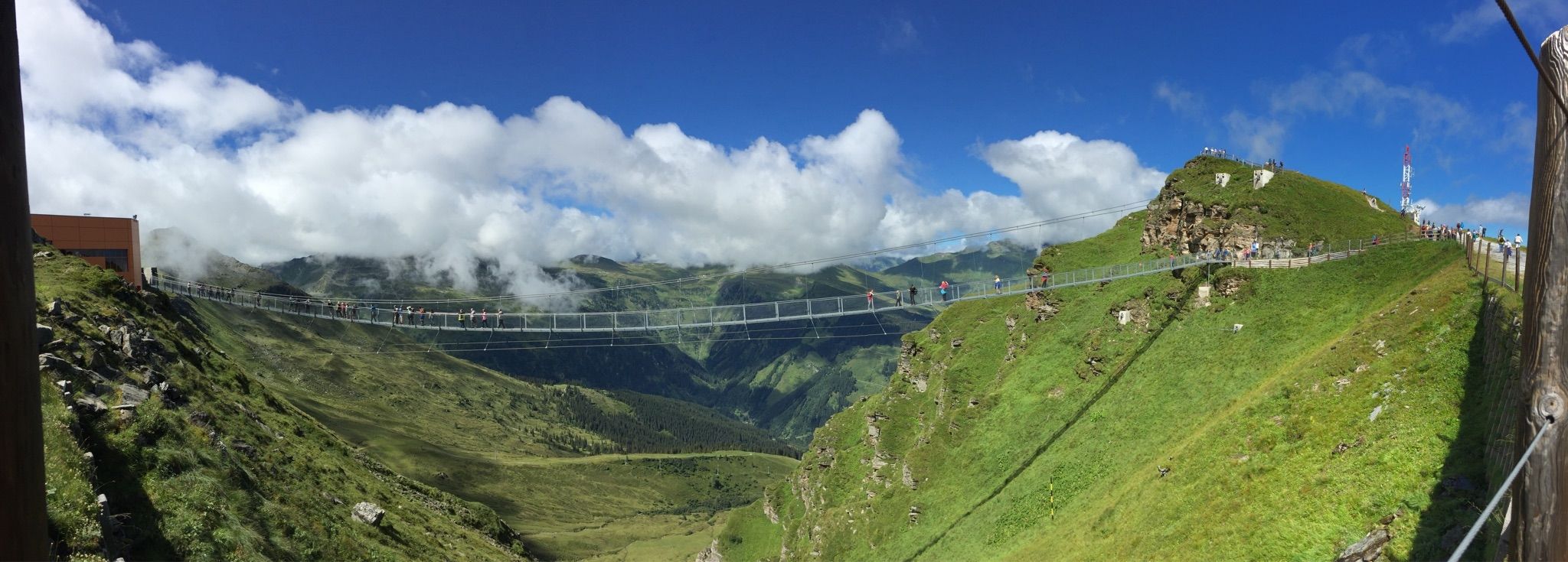
Spectacular suspension bridges
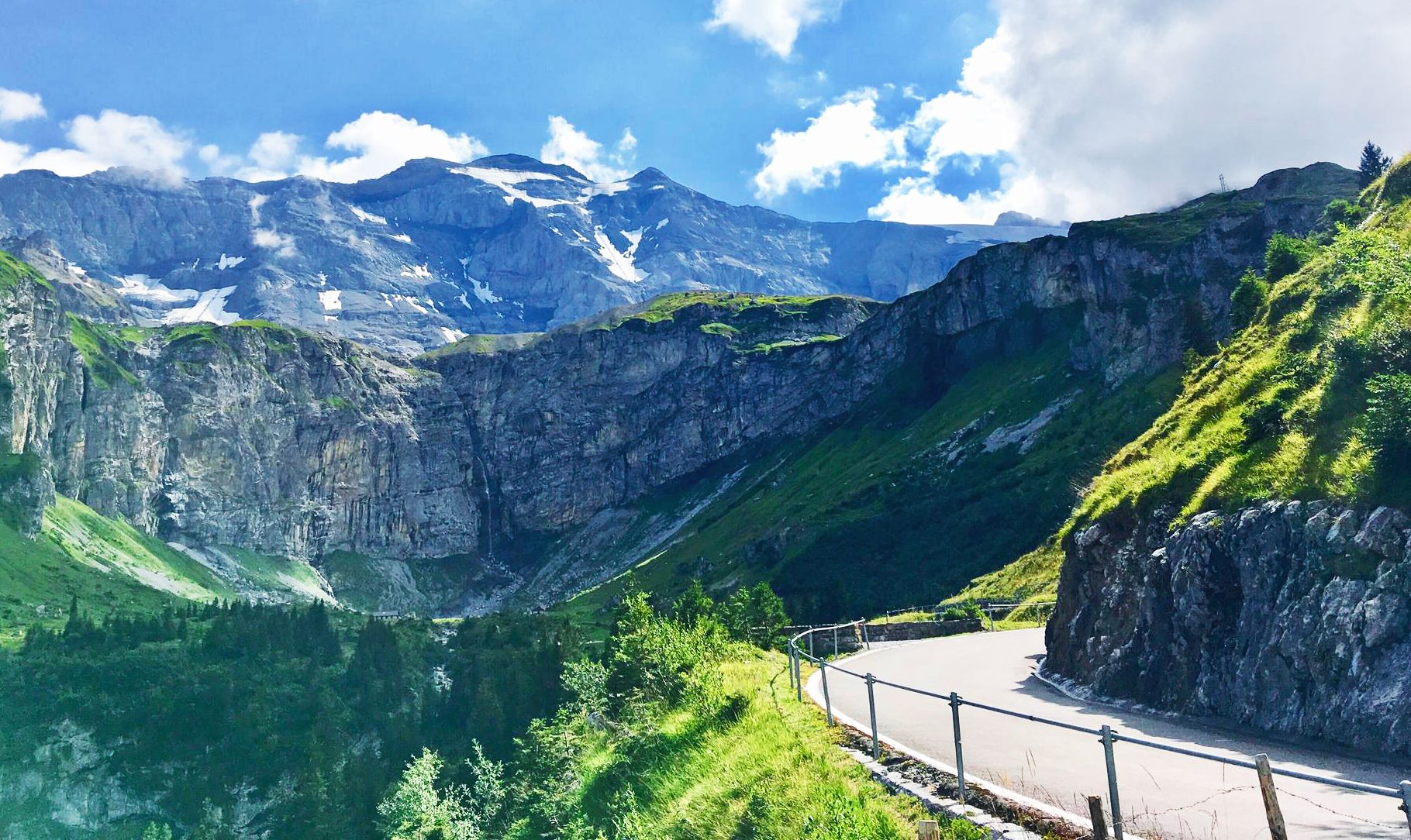
8 アルプスの麓を通るステージ — アルプスパノラマルート
トゥーンでのの他の冒険


コミュニティからのヒント

The hiking trail to the Sigriswiler Rothorn comes close to the tunnel entrance. However, the trail turns left 50 meters before that.
8
0
Beautiful and little-frequented summit with panoramic views
7
0

Difficult ascent including easy climbing but at the top everything is forgotten, the effort was worth it, the view is amazing.
0
1

The Sigriswiler Rothorn (2,051 m) is an impressive vantage point high above Lake Thun ⛰️🌊. The ascent is mostly along the ridge and requires surefootedness and a head for heights ⚠️🥾 – caution is advised, especially in wet conditions. At the top, you'll be rewarded with a fantastic 360° panorama: views of the Eiger, Mönch, and Jungfrau, the Mittelland, and Lake Brienz and Lake Thun 🏔️👀 – ideal for a summit rest and impressive photos 📸. Equipment: Sturdy hiking boots, weather protection 🧥, provisions 🥪, water 💧. No food or drink options along the way. Recommendation: Set off early ⏰, and avoid the ridge in uncertain weather. An absolutely worthwhile summit for experienced hikers!
1
0
The western entrance to the Schafloch is located slightly below the ridge and is easy to miss 👀 – pay attention to the trail markings! The entrance is via a short, steep path that can be slippery when wet ⚠️🥾. From here, the natural rock tunnel leads about 20m through the mountain – a fascinating experience 🪨⛰️. View: Right at the western portal, there is a magnificent view of Lake Thun and the Mittelland 🌄🌊 – be sure to pause for a moment and enjoy! Equipment: Sturdy hiking boots 🥾, possibly poles 🦯. A headlamp 🔦 is useful, as it is quite dark inside the tunnel. A cell phone 📱light will not suffice 😉. Safety: Not suitable in heavy rain or snow – the tunnel floor can become slippery. Recommended only for sure-footed hikers with a head for heights ⚠️. Special feature: The tunnel was formed by geological processes and is a rare natural phenomenon in Switzerland. It is one of the highlights of the Sigriswil ridge hike 🏞️.
1
0
A beautiful spot with stunning views of the Bernese Oberland! ⛰️🌲. The trail is well marked, but surefootedness is required, especially in wet conditions ⚠️. Recommendation: Start early ⏰ to enjoy the peaceful morning atmosphere! Equipment: Sturdy hiking boots 🥾, weatherproof clothing 🧥, and poles 🦯 if needed. Note: No refreshment stops – bring plenty of water 💧 and provisions 🥪.
2
0

Simple, all flat and very easy to walk on
0
0

they are usually in the field on the path towards the lake
0
0
よくある質問
Verwaltungskreis Thunでは、バスでアクセス可能なハイキングコースはいくつありますか?
Verwaltungskreis Thunには、500以上のルートがある広大なバスアクセス可能なハイキングコースネットワークがあります。簡単な散策から挑戦的な山の登りまで幅広く、あらゆるハイカーに適したオプションが用意されています。
Verwaltungskreis Thunでは、バスでアクセス可能な家族向けのハイキングコースはありますか?
はい、多くのルートが家族に適しています。景色の良い中程度のオプションとしては、トゥーン湖からのトゥーン湖 – グラベンミューレ・ジグリスヴィル周回コースをご検討ください。このコースは、美しい湖畔の景色と、家族での外出に適した管理しやすい地形を提供します。
この地域で最高のパノラマビューを楽しめる、バスでアクセス可能なトレイルはどれですか?
息をのむようなパノラマビューをお探しなら、この地域は格別です。ジグリスヴィルからのブルーメ展望台 – トゥーン湖の眺め周回コースは素晴らしい選択肢で、16メートルの高さのブルーメ展望台へと続き、ジュラ山脈からトゥーン湖、そしてベルナーアルプスまで見渡せます。もう一つのオプションは、オーバーホーフェンからのブルーメ展望台 – トゥーン湖の眺め周回コースで、こちらも素晴らしい景色を提供します。
経験豊富なトレッカー向けの、挑戦的なバスアクセス可能なハイキングコースはありますか?
もちろんです。経験豊富なハイカーで挑戦を求めている方には、ジグリスヴィラー・ロートホルン・パノラマトレイルがおすすめです。この難易度の高いルートは、約12kmの距離にかなりの標高差があり、厳しい登山ルートと壮大なアルプスの風景を提供します。
バス停から出発して同じ場所に戻る周回ハイキングコースを見つけることはできますか?
Verwaltungskreis Thunのバスアクセス可能なルートの多くは周回コースになっており、バス停の近くで出発点と同じ場所に戻ることができます。シュタディオン・ラーヘンからのトゥーン湖 – シャダウ城周回コースは、湖畔を散策したり史跡を巡ったりするのに適した、中程度の難易度の周回コースです。
これらのトレイル沿いで、どのような自然の魅力を見ることができますか?
この地域は豊かな自然美に恵まれています。広大なトゥーン湖、雄大なベルナーアルプス、そしてズュルク川のような絵のように美しい谷などを見ることができます。一部のトレイルは、激しい水流と滝で知られるコホレンシュルフトのような印象的な渓谷にも続いています。ニーダーホルン山頂は、アイベックスやシャモアなどの野生動物でも知られています。
バス停からアクセスできるハイキングトレイルには、歴史的建造物や城はありますか?
はい、Verwaltungskreis Thunには歴史的建造物が点在しています。トゥーン湖沿いの多くのトレイルは、壮大な城のそばを通っています。例えば、トゥーン旧市街と城、シャダウ城、またはオーバーホーフェン城などを探索できます。これらは、自然の美しさと文化的な探求を組み合わせて楽しめます。
他のハイカーは、Verwaltungskreis Thunでのハイキングで最も楽しんでいる点は何ですか?
この地域はkomootコミュニティから高く評価されており、平均スコアは4.6つ星です。レビューでは、穏やかな湖畔の道から挑戦的なアルプスの登りまで、多様な景観と、公共交通機関で幅広いトレイルにアクセスできる利便性がしばしば称賛されています。トゥーン湖とベルナーアルプスの素晴らしい眺めも頻繁にハイライトされています。
吊り橋のようなユニークな構造物があるトレイルはありますか?
はい、この地域にはハイキング体験を豊かにするユニークな構造物があります。グムミシュルフトを横断する全長340メートルのジグリスヴィル吊り橋は、トゥーン湖地域とベルナーアルプスの印象的な眺めを提供し、いくつかのパノラマ周回ハイキングコースに組み込まれています。
Verwaltungskreis Thunでのバスアクセス可能なハイキングに最適な季節は何ですか?
Verwaltungskreis Thunでは年間を通じてハイキングの機会がありますが、最適な季節は求めるハイキングの種類によって大きく異なります。春と秋は、低地のトレイルや湖畔のトレイルに快適な気温と鮮やかな景色を提供します。夏は高山のルートに最適ですが、一部のトレイルは冬のハイキングにもアクセス可能で、異なる、しばしばより静かな体験を提供します。
バス停から出発できる、簡単で初心者向けのハイキングオプションはありますか?
もちろんです。この地域は初心者を含むすべてのレベルに対応しています。トゥーン湖沿いやズュルク渓谷の多くのトレイルは、緩やかな標高変化と整備された道を提供しており、ゆったりとした散策に最適です。これらのルートは通常、バス停によく接続されており、ハイキング初心者でも簡単にアクセスできます。

komootモバイルアプリでインスピレーションを得よう


探していたものは見つかりませんでしたか?
トゥーンの下にある他のハイキングをチェックして、目的地で完璧なルートを見つけましょう。
