4.5
(1315)
8,557
ライダー
321
ライド
トゥーンでマウンテンバイクを楽しめば、ベルナーオーバーラントのこのエリアをより深く知ることができます。このエリアを最大限に満喫できるように、komootがマウンテンバイクルートのコレクション全体を評価して選び抜いた人気ルートをご紹介します。次の冒険にぴったりのマウンテンバイクルートを見つけるには、以下のルートをクリックしてkomootのマウンテンバイクコミュニティのメンバーが投稿した役立つ情報や写真を閲覧し、各ルートに関してみんなが気に入った点などを参考にしましょう。
最終更新日: 7月 12, 2026
4.4
(49)
312
ライダー
30.7km
02:52
920m
920m
難しいマウンテンバイクライド. 標準以上のフィットネスレベルが必要です。 高度なライディングスキルが必要です。
4.4
(47)
233
ライダー
43.1km
03:11
750m
750m
中程度のマウンテンバイクライド. ある程度のフィットネスレベルが必要です。 高度なライディングスキルが必要です。

無料新規登録
4.3
(20)
292
ライダー
32.8km
02:58
870m
870m
難しいマウンテンバイクライド. ある程度のフィットネスレベルが必要です。 高度なライディングスキルが必要です。ツアーの一部で自転車を押して歩く必要があるかもしれません。
4.6
(30)
238
ライダー
36.9km
02:35
300m
300m
中程度のマウンテンバイクライド. ある程度のフィットネスレベルが必要です。 あらゆるスキルレベルに適しています。
4.3
(16)
169
ライダー
41.3km
03:45
1,100m
1,100m
難しいマウンテンバイクライド. 標準以上のフィットネスレベルが必要です。 あらゆるスキルレベルに適しています。
4.8
(13)
183
ライダー
16.2km
01:27
460m
460m
中程度のマウンテンバイクライド. ある程度のフィットネスレベルが必要です。 あらゆるスキルレベルに適しています。
4.7
(35)
137
ライダー
35.8km
03:31
1,010m
1,010m
難しいマウンテンバイクライド. 標準以上のフィットネスレベルが必要です。 高度なライディングスキルが必要です。ツアーの一部で自転車を押して歩く必要があるかもしれません。
4.2
(16)
70
ライダー
37.9km
02:32
410m
410m
中程度のマウンテンバイクライド. ある程度のフィットネスレベルが必要です。 あらゆるスキルレベルに適しています。
4.4
(38)
254
ライダー
45.1km
04:08
1,230m
1,230m
難しいマウンテンバイクライド. 標準以上のフィットネスレベルが必要です。 高度なライディングスキルが必要です。
4.2
(27)
121
ライダー
61.7km
04:44
890m
890m
中程度のマウンテンバイクライド. ある程度のフィットネスレベルが必要です。 高度なライディングスキルが必要です。
さらに多くのルートや他のユーザーのおすすめ情報を確認できます。
無料新規登録
すでにアカウントをお持ちですか?
おすすめのツアーは他のkomootユーザーが実際に経験した何千ものアクティビティに基づいています。
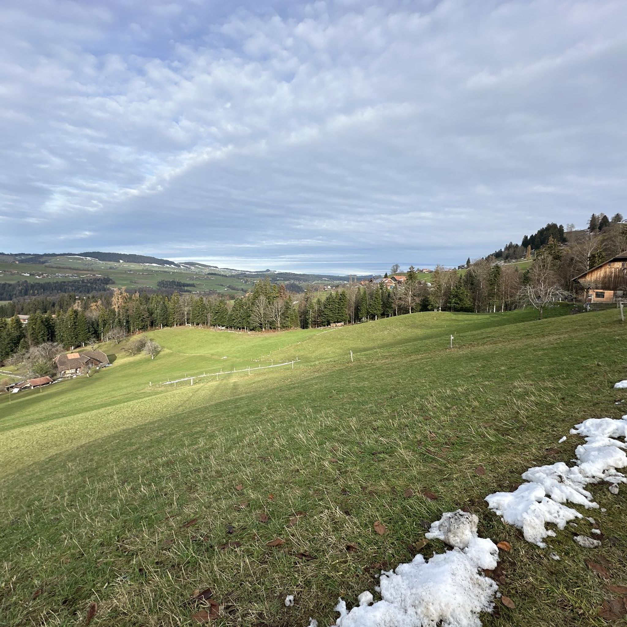
A popular promenade when the sun is shining.
0
0
The ruins sit atop a wooded hill above Niederstocken and are a quiet, historic spot with beautiful views of the Stockental valley and the Stockhorn mountain range. Highlights: ✅ Remains of the medieval castle complex from the 13th century. ✅ Beautiful vantage point over the valley and into the Bernese Oberland. ✅ A short, exciting detour during hikes or bike tours.
0
0
An unknown but beautiful high-altitude trail between the striking Falkenfluh (approx. 1,400 m) and Aeschlenalp. The route runs along an open ridge with meadows, forests, and magnificent views of the Bernese Oberland and Emmental valleys. Route: From the summit of Falkenfluh (accessible on foot or by bike), follow the partly wooded ridge westward to Aeschlenalp. The trail is unmarked but clearly visible – mostly a path or alpine trail. Character: 🔸 Easy to moderate 🔸 Quiet & quiet 🔸 Consistently beautiful views of the Niesen, the Aare Valley, and Lake Thun 👀🌤️ 🔸 Ideal as a circular tour (e.g., from Schwarzenegg or Heimenschwand) Highlights: ✅ Wide, open ridge sections ✅ Alpine meadows, animals, and typical foothill landscapes ✅ Ideal for sunset or a picnic along the way 🌅🥪
1
0
The Schindelberg above Schwarzenegg is a little-visited viewpoint, nestled between Aeschlenalp, Falkenfluh, and the Eriz Valley. The rolling meadows and unobstructed views of the Mittelland and the Bernese Alps make it a real insider tip 🌾👀. Highlights: ✅ Expansive views extending to Lake Thun and the Niesen ✅ Peaceful alpine meadows and forests – ideal for nature lovers ✅ Perfect as a stopover on biking or hiking trails ✅ With luck, spotting wildlife or alpine cattle 🦌🐄 Accessibility: Easily accessible from Heimenschwand, Schwarzenegg, or Innereriz via forest and alpine paths. Ideal as a circular tour, e.g., combining it with Aeschlenalp and Falkenfluh.
0
0
The Aeschlenalp above Heiligenschwendi/Schwarzenegg is a real insider tip for anyone seeking peace, nature, and views 🌿🐄. Surrounded by rolling hills, forests, and mountain meadows, it offers an idyllic alpine landscape with panoramic views of the Aare Valley, Lake Thun, and, on clear days, even as far as the Eiger, Mönch, and Jungfrau ⛰️👀. Accessibility: On foot or by bike from Heimenschwand, Schwarzenegg (approx. 1.5–2.5 hours, depending on the route). Easily accessible via forest paths – ideal for hikers and mountain bikers 🥾🚵♂️. Highlights: ✅ Peace & quiet ✅ Grazing cows & typical alpine atmosphere 🐮 ✅ Views of the Bernese Oberland & Emmental ✅ In summer: Fresh alpine cheese directly from the alp (depending on the season) 🧀 Recommendation: Perfect for a half-day or after-work hike, with a picnic on the meadow and sunset over Lake Thun 🌅.
1
0
Start, for example, in Heimenschwand or Steffisburg, first on paved and forest paths to Aeschlenalp. From there, it gets steeper and more challenging – the ascent to Falkenfluh (approx. 1,400 m) requires stamina and solid riding technique. Highlights: ✅ Idyllic Aeschlenalp with meadows and an Alpine panorama ✅ Fantastic view from Falkenfluh over the Aare Valley and Lake Thun ✅ Quiet, natural route away from the hustle and bustle ✅ Some trail sections on the descent (depending on the route) Terrain: 80% natural paths and alpine roads, 20% paved. Only partially suitable for gravel bikes. Equipment: MTB or e-MTB 🚵♀️, helmet ⛑️, plenty of water 💧, snacks (possibly), sun/rain protection 🧢🧥
0
0
Cooler smaller trail…(but turn right back up to the road in time)
0
0


トゥーンの下にある他のMTBトレイルをチェックして、目的地で完璧なルートを見つけましょう。
他の地域の最高のMTBトレイルを見てみましょう。