ルート

プランナー

機能

アップデート

App

ログインまたはサインアップ

アプリを入手

ログインまたはサインアップ

ルート
Places to see
Mountain passes
ドイツ
ラインラントプファルツ州
プファルツの森
バートデュルクハイム

ヴァイデンタール

ヴァイデンタールの峠・トップ5

風景を楽しんだり、上りや下りを満喫したり、峠には楽しみ方がたくさんあります。ヴァイデンタールの素晴らしい峠の一覧を参照して、思い出に残るアドベンチャーに出かけましょう。コミュニティのメンバーがコミュニティのために投稿した峠のハイライトは、他のユーザーが実際におすすめする情報なので、どれも信頼できるものです。気に入った峠にさっそく向かってみましょう。

最終更新日: 7月 8, 2026

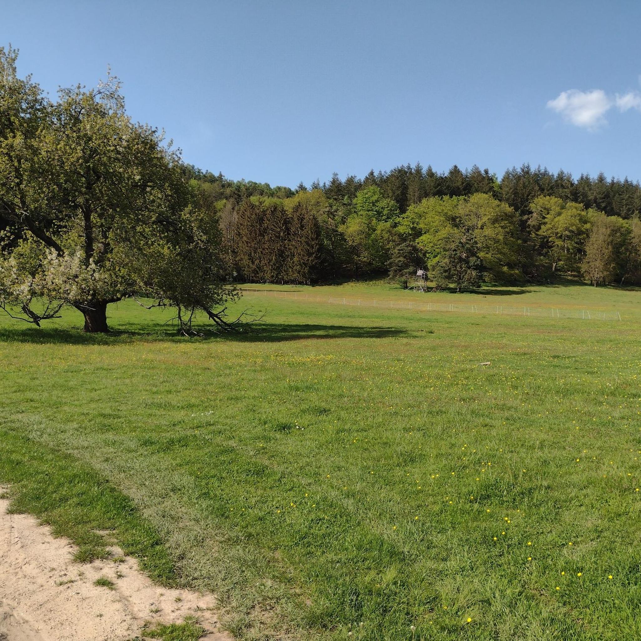
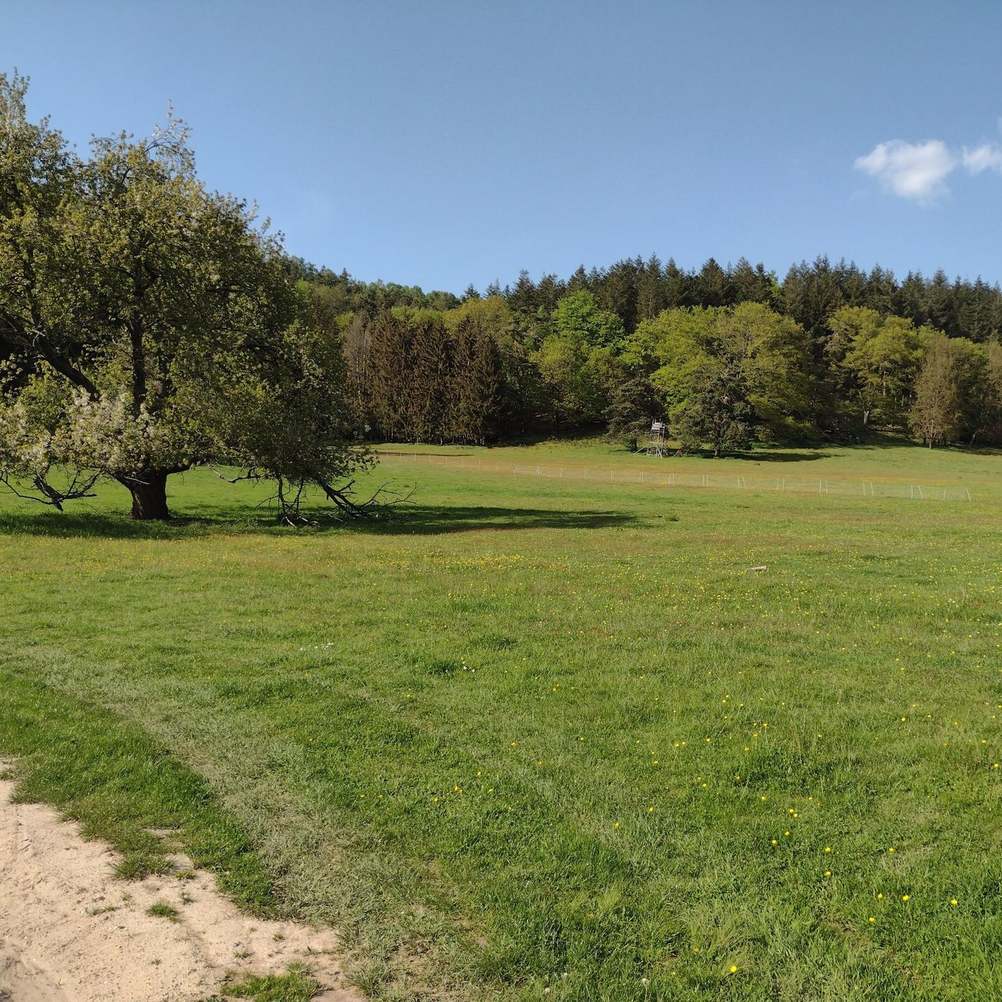
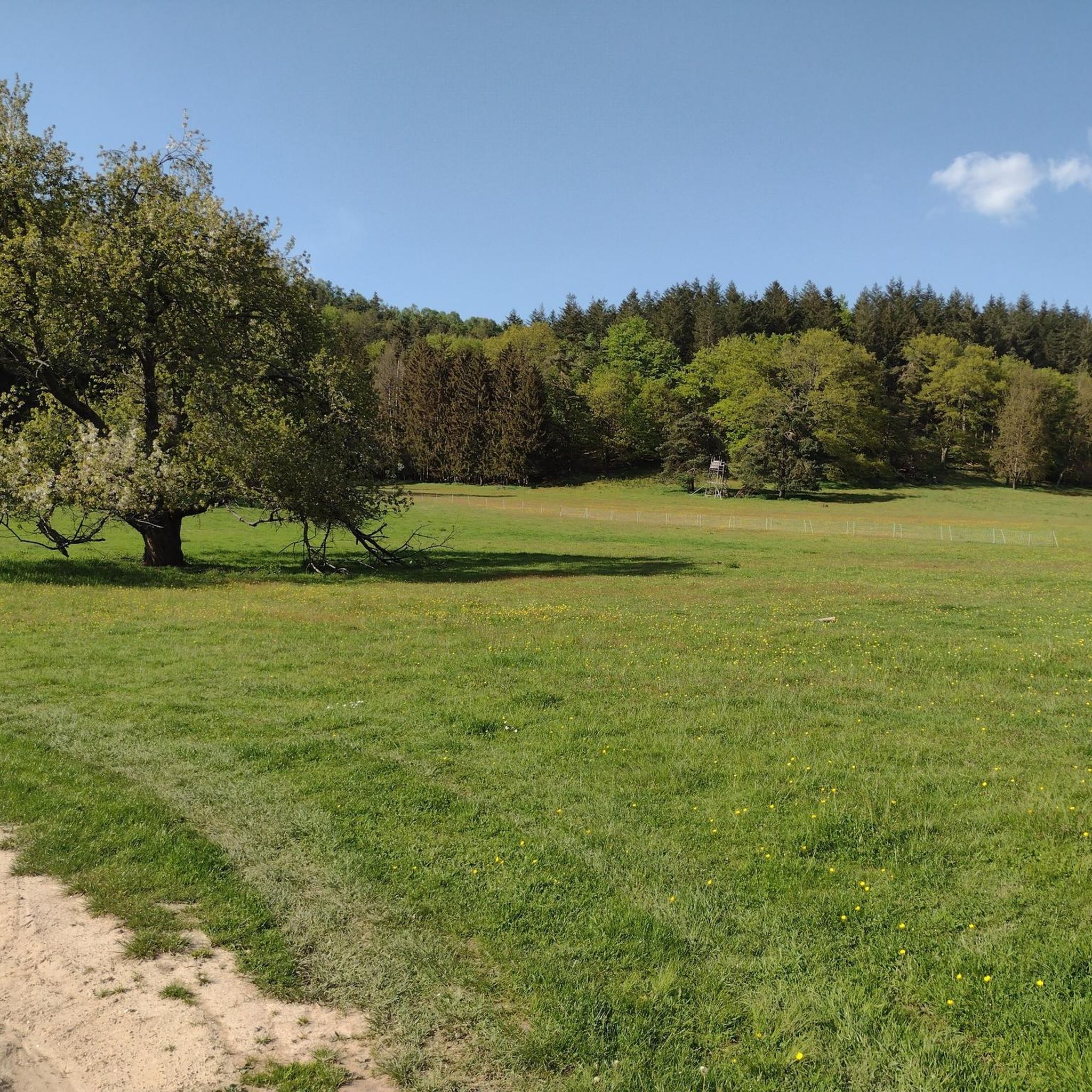
Hahnenschritt峠の駐車場(標高565 m)

ハイライト • 駐車場

A detour is not really worth .. but is a very good starting point

翻訳者 Google •

役立つ情報

によるものです

ここでのハイキングを見る

スマートフォンに送信

保存

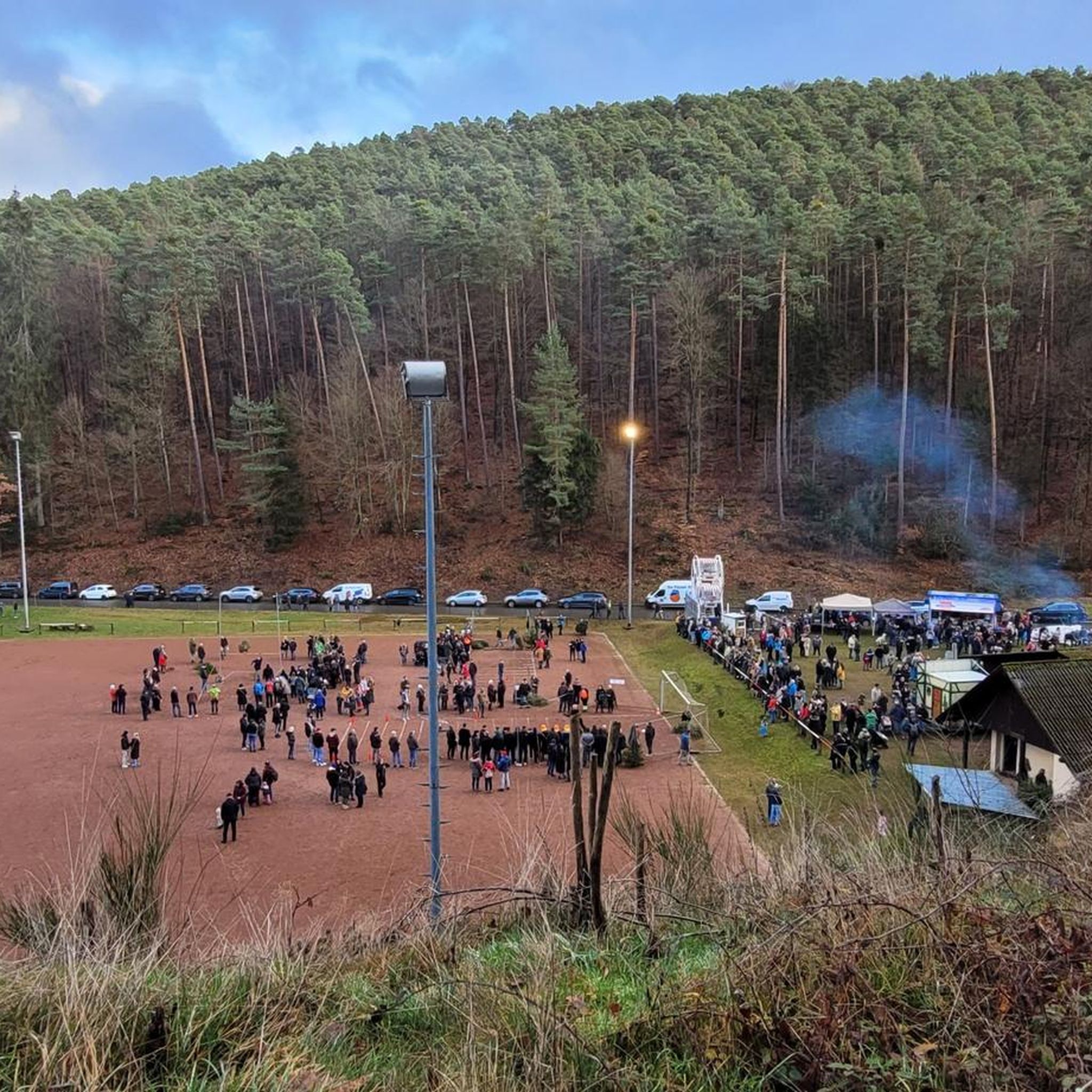
トーテンコプフ通り

ハイライト (セグメント) • 山道

Extremely beautiful, narrow road right through the Palatinate Forest. Perfect in conjunction with the Kalmit increase. Fortunately for motorcycles locked in the summer but she can be quite busy at …

翻訳者 Google •

役立つ情報

によるものです

保存

今すぐサインアップして、こんな場所を発見しよう

最高のシングルトラック、ピーク、その他のエキサイティングなアウトドアスポットのおすすめを受け取ろう。

無料新規登録

ロートシュタイク峠(340m)

ハイライト • 山道

The climb from both sides is very nice to drive and certainly a challenge on a tour, but on sunny days there is absolute traffic chaos at the parking lots and wild parking

翻訳者 Google •

役立つ情報

によるものです

保存

Knoppenweth サドル(標高450m)

ハイライト • 山道

Is really just a crossroads of hiking trails. No benches to stay.

翻訳者 Google •

役立つ情報

によるものです

保存

Totenkopfstraßeの下り坂

ハイライト (セグメント) • 山道

Even slope, no sharp turns and great road surface

翻訳者 Google •

役立つ情報

によるものです

保存

無料でサインアップして、さらに多くの山道を発見しましょう ヴァイデンタールでの。

無料新規登録

すでにアカウントをお持ちですか?

無料アカウントで今日から始めよう

次の冒険が待っています。

ログインまたは登録

ヴァイデンタール周辺で人気

ヴァイデンタールでのハイキング

ヴァイデンタールのロードバイクルート

ヴァイデンタールのMTBトレイル

ヴァイデンタールでのサイクリング

ヴァイデンタールでののグラベルライド

ヴァイデンタールのランニングコース

ヴァイデンタールでの登山&山歩き

コミュニティからのヒント

PfalzGraveller
4月 14, 2024, Totenkopfstraße Descent

Nice descent on good road surface.

Google翻訳による翻訳

1

3

The majority of the route is part of the Totenkopfstraße (Skull Road). The Totenkopfstraße (Skull Road) is a 13.6 km long mountain pass road in the Palatinate Forest in the Rhineland-Palatinate districts of Southern Wine Route and Bad Dürkheim.

Google翻訳による翻訳

4

0

The Totenkopfstraße is a 13.6 km long mountain pass road in the Palatinate Forest in the Rhineland-Palatinate districts of Southern Wine Route and Bad Dürkheim. As part of State Road 514, it runs from St. Martin through the Haardt, a mountain range on the eastern edge of the Palatinate Forest, northwest into the Central Palatinate Forest, and finally to Breitenstein. It reaches its highest point at 513.7 m above sea level on the Totenkopf mountain saddle, after which the road is named. The Totenkopfhütte (Totenkopf Hut) is located there. Source: Wikipedia

Google翻訳による翻訳

5

0

The Knoppenweth (hist. Waldweide) is a mountain saddle between Stabenberg and Mittelberg. The historic donkey path passes the Knoppenweth.

Google翻訳による翻訳

5

1

One of the numerous crossroads in the Palatinate Forest

Google翻訳による翻訳

4

1

Fun in dry weather.

Google翻訳による翻訳

1

1

A cult route in the Palatinate Forest.

Google翻訳による翻訳

7

1

The “Rotsteig” is at an altitude of 340 m. It can be reached from three entrances: -Northeast driveway from Wachenheim (approx. 7 km / approx. 216 m) -Southwest driveway from Lindenberg (approx. 5 km / approx. 231 m) -Southeast driveway from Gimmeldingen (approx. 6.4 km / approx. 171 m) - note the closure!

Google翻訳による翻訳

3

0

ヴァイデンタールでのの人気ルート

ヴァイデンタールでのハイキング

ヴァイデンタールでのの人気観光スポット

Places to see

Store rating

komootモバイルアプリでインスピレーションを得よう

無料のkomootアカウントがあれば、無限のアウトドアコースを簡単に見つけてカスタマイズし、ナビで案内できます。

または

今すぐkomootに参加しよう

Store rating

さらに探索

これらのガイドでさらに壮大な山道を見てみましょうヴァイデンタールでの:

エスタールエルムシュタインランブレヒト(プファルツ)フランケンエックナイデンフェルスルッパーツベルクWachenheimanderWeinstraßeダイデスハイム

近くのアドベンチャーガイド

エスタールでやるべきこと

background

新しいピークを征服する準備をしよう

無料でサインアップ

探検する
ルートルートプランナー機能ハイキングMTBトレイルロードバイクルートバイクパッキングサイトマップ
アプリをダウンロード
SNSでフォローする

© komoot GmbH

プライバシーポリシー