フランケンエックの峠・トップ10
風景を楽しんだり、上りや下りを満喫したり、峠には楽しみ方がたくさんあります。フランケンエックの素晴らしい峠の一覧を参照して、思い出に残るアドベンチャーに出かけましょう。コミュニティのメンバーがコミュニティのために投稿した峠のハイライトは、他のユーザーが実際におすすめする情報なので、どれも信頼できるものです。気に入った峠にさっそく向かってみましょう。
最終更新日: 9月 14, 2026
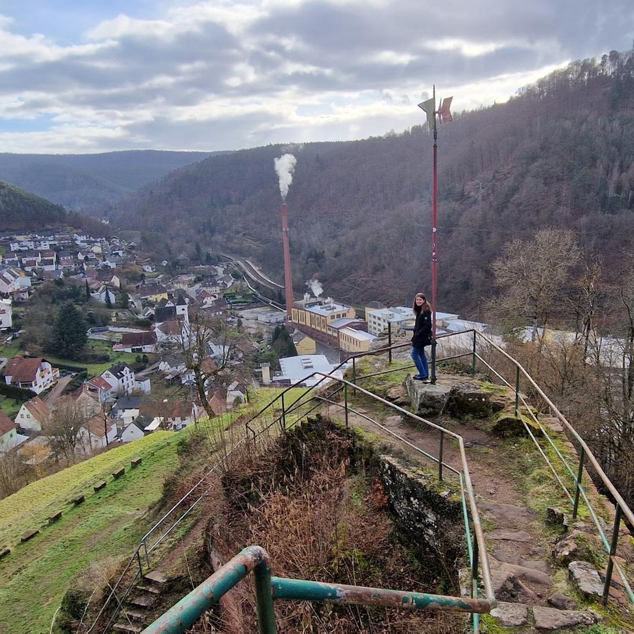
Hahnenschritt峠の駐車場(標高565 m)
ハイライト • 駐車場
翻訳者 Google •
役立つ情報 は

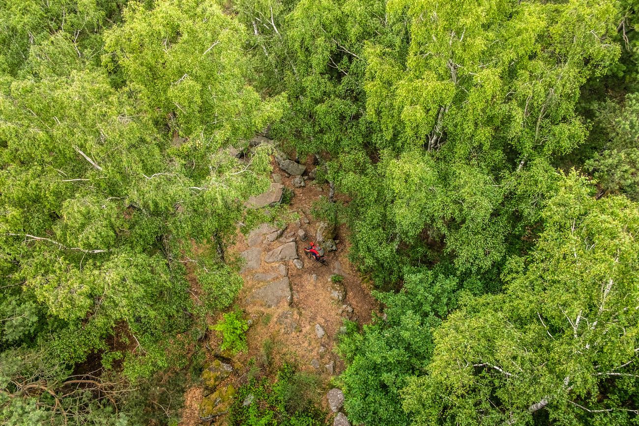
ロロスルーエ峠
ハイライト • 山道
翻訳者 Google •
役立つ情報 は

今すぐサインアップして、こんな場所を発見しよう
最高のシングルトラック、ピーク、その他のエキサイティングなアウトドアスポットのおすすめを受け取ろう。
コールプラッツ峠とリッタースタイン第69号
ハイライト • 山道
翻訳者 Google •
役立つ情報 は

トーテンコプフ通り
ハイライト (セグメント) • 山道
翻訳者 Google •
役立つ情報 は

ロートシュタイク峠(340m)
ハイライト • 山道
翻訳者 Google •
役立つ情報 は

無料でサインアップして、さらに多くの山道を発見しましょう フランケンエックでの。
すでにアカウントをお持ちですか?
無料アカウントで今日から始めよう
次の冒険が待っています。

コミュニティからのヒント

You can find a list of knight stones here: https://de.m.wikipedia.org/wiki/Liste_der_Rittersteine
2
1

The Totenkopfstraße is a 13.6 km long mountain pass road in the Palatinate Forest in the Rhineland-Palatinate districts of Southern Wine Route and Bad Dürkheim. As part of State Road 514, it runs from St. Martin through the Haardt, a mountain range on the eastern edge of the Palatinate Forest, northwest into the Central Palatinate Forest, and finally to Breitenstein. It reaches its highest point at 513.7 m above sea level on the Totenkopf mountain saddle, after which the road is named. The Totenkopfhütte (Totenkopf Hut) is located there. Source: Wikipedia
6
0
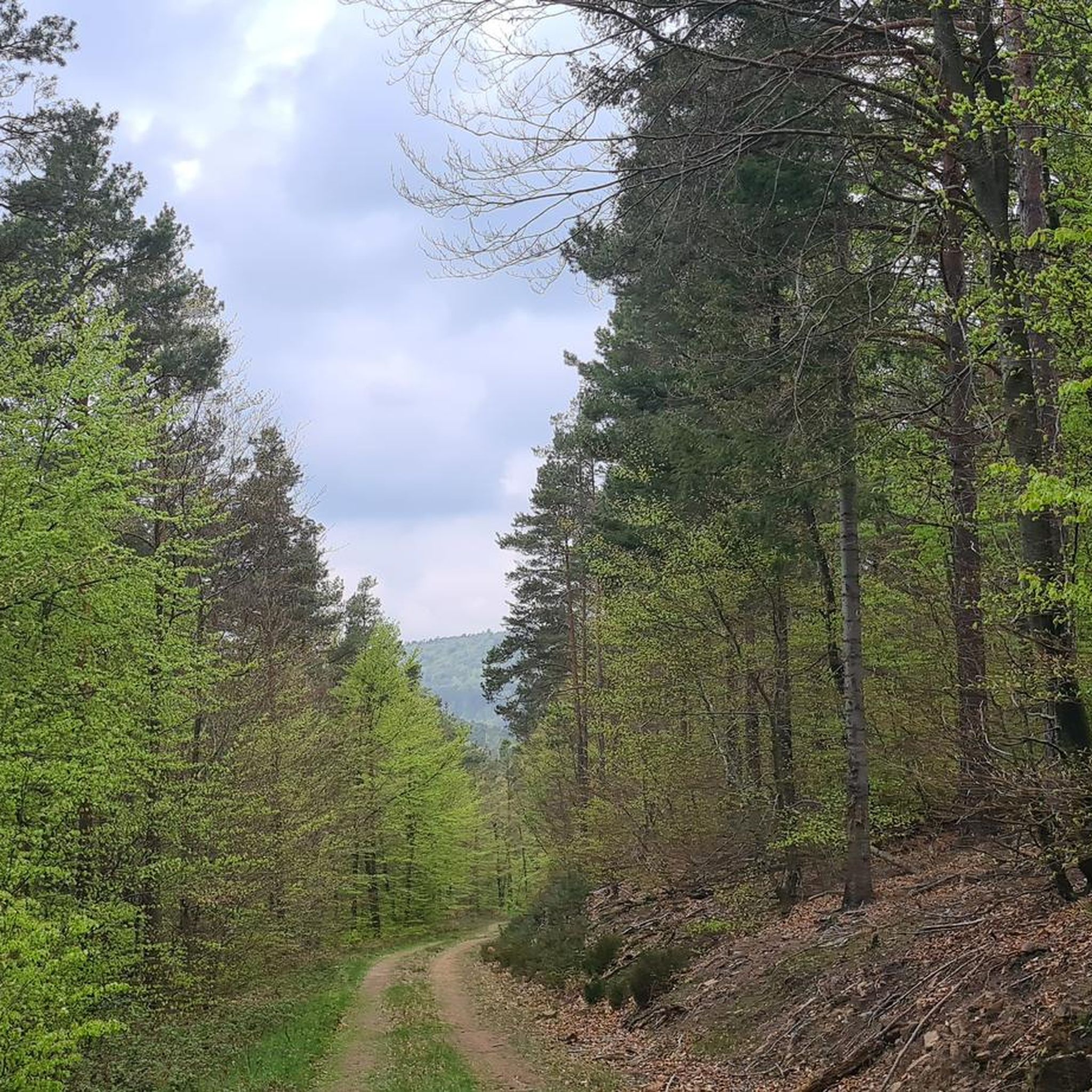
When you're here, you've made the ascent and can happily destroy the altitude you've worked up. C'est tout. You don't necessarily have to stop here.
4
0

There is also a large rest area with a few benches and tables in the shade.
3
1

You have to find the shelter first. It's a bit hidden and then without a seat. But the parking lot is spacious and suitable for several vehicles
4
0

Here stands one of the more than 300 knight stones of the Palatinate Forest Association (PWV). Its full inscription reads: "Kohlplatz - retreat battle of the Battalion von Schladen under Major von Borck on July 13, 1794." It indicates the following: "In the First Coalition War, there were repeated battles at Steigerkopf in 1794 and 1795. [...] After the death of the Prussian General von Pfau on July 13, 1794, there were retreat battles by the Prussian troops. The retreat of the Battalion von Schladen under Major von Borck led from Schänzel via Benderplatz and Kohlplatz to the Rhine plain. The defeat of the coalition troops at Schänzel resulted in a retreat to and across the Rhine. As a result, Prussia withdrew from the war after an armistice with France." Source (quoted verbatim) and further information: https://www.kuladig.de/Objektansicht/KLD-272287
4
0


The “Rotsteig” is at an altitude of 340 m. It can be reached from three entrances: -Northeast driveway from Wachenheim (approx. 7 km / approx. 216 m) -Southwest driveway from Lindenberg (approx. 5 km / approx. 231 m) -Southeast driveway from Gimmeldingen (approx. 6.4 km / approx. 171 m) - note the closure!
3
0

komootモバイルアプリでインスピレーションを得よう


さらに探索
これらのガイドでさらに壮大な山道を見てみましょうフランケンエックでの:
