ダライムの天然記念物・トップ20
ダライムが誇る美しい風景を見てみたいなら、ダライムの素晴らしい天然記念物・トップ20
に行ってみましょう。あなたにぴったりの場所が見つかるよう、素晴らしい天然記念物を探索するために必要なすべての情報を集めました。次のアウトドアの冒険に出かける計画の参考にしましょう。
最終更新日: 10月 11, 2026
ランドスクロン城跡
ハイライト • 城
翻訳を表示中
役立つ情報 は

オッペンハイマー・クローテンブルンネン
ハイライト • 記念碑
The Oppenheim Toad …
翻訳者 Google •
役立つ情報 は

今すぐサインアップして、こんな場所を発見しよう
最高のシングルトラック、ピーク、その他のエキサイティングなアウトドアスポットのおすすめを受け取ろう。
ツォルンハイマー・ルークロイツ
ハイライト • 展望台
翻訳者 Google •
役立つ情報 は

リートゼー
ハイライト • 湖
A bike path separates the two waters from each other.
翻訳者 Google •
役立つ情報 は

シュヴェーデンザオイレ(スウェーデンの柱)
ハイライト • 記念碑
We are standing on historical ground: a military masterpiece for the time.
Last but not least, the course of the Rhine has also …
翻訳者 Google •
役立つ情報 は

無料でサインアップして、さらに多くの自然記念物を発見しましょう ダライムでの。
すでにアカウントをお持ちですか?
無料アカウントで今日から始めよう
次の冒険が待っています。

コミュニティからのヒント

2つの「Riedseen」があります。南側のRiedseeは自由にはアクセスできません。北側のRiedseeには公共の海水浴場もあります。
2
0

Always try to include the passage in the tours. Unique composition.
0
0

The Swedish Column is a monument in the Kühkopf-Knoblochsaue nature reserve in Hesse. It commemorates the crossing of the Rhine by the Swedish King Gustav Adolf and his troops during the Thirty Years' War at Hahnensand near Erfelden on December 21, 1631. The twelve-meter-high column was erected in 1632 on the orders of Gustav Adolf by the fortress builder Matthäus Staud. Ludwig Bechstein describes it in his German Book of Legends, published in 1853, as "a tall column resting on four balls that support the pedestal, in the shape of an obelisk. On top it bore the seated Swedish heraldic lion with a helmeted and crowned head, holding a sword and orb in its front paws." This is how the column still appears today. The lion is looking in the direction in which the crossing took place, the battlefield and the Swedish cemetery. However, the Swedish Column is no longer in its original location. It was built in the 18th century due to the threat of erosion
11
0
The Swedish Column is a monument in the Kühkopf-Knoblochsaue nature reserve in Hesse. It commemorates the crossing of the Rhine by the Swedish King Gustav Adolf and his troops during the Thirty Years' War at Hahnensand near Erfelden on December 21, 1631. The twelve-meter-high column was erected in 1632 on the orders of Gustav Adolf by the fortress builder Matthäus Staud. Ludwig Bechstein describes it in his German Book of Legends, published in 1853, as "a tall column resting on four balls that support the pedestal, in the shape of an obelisk. On top it bore the seated Swedish heraldic lion with a helmeted and crowned head, holding a sword and orb in its front paws." This is how the column still appears today. The lion is looking in the direction in which the crossing took place, the battlefield and the Swedish cemetery. However, the Swedish Column is no longer in its original location. It was moved inland in the 18th century because of the threat of erosion. Bechstein also reports that the Swedish king and four companions sailed down the Rhine in a small boat and spotted Spanish units entrenched near Oppenheim on the left bank of the Rhine. In any case, the Spaniards had taken up positions on the Kühkopf peninsula, which was then on the left bank of the Rhine, to protect Oppenheim as a military outpost. In order to cross the river with his troops from the right bank of the Rhine, Gustav Adolf had the barn doors of the local farmers pried open and mounted on the few boats available. In this way, his troops, several thousand infantry men, as well as cavalry and artillery of unknown strength, crossed to the other bank. The crossing of the Rhine, which was then around 300 m wide, took place in two places. The Swedes managed to take Oppenheim by storm. This crossing of the Rhine is considered one of the outstanding military achievements of the Thirty Years' War. One immediate consequence was that Mainz fell into the hands of the Swedes. For this reason, another monument was erected. After the Second World War, when people were considering what motif the new windows of the Protestant church in Stockstadt am Rhein should have (the old windows were destroyed in a bombing raid), one of the motifs chosen was Gustav II Adolf, because he was welcomed in Stockstadt as a liberator and savior.
12
1

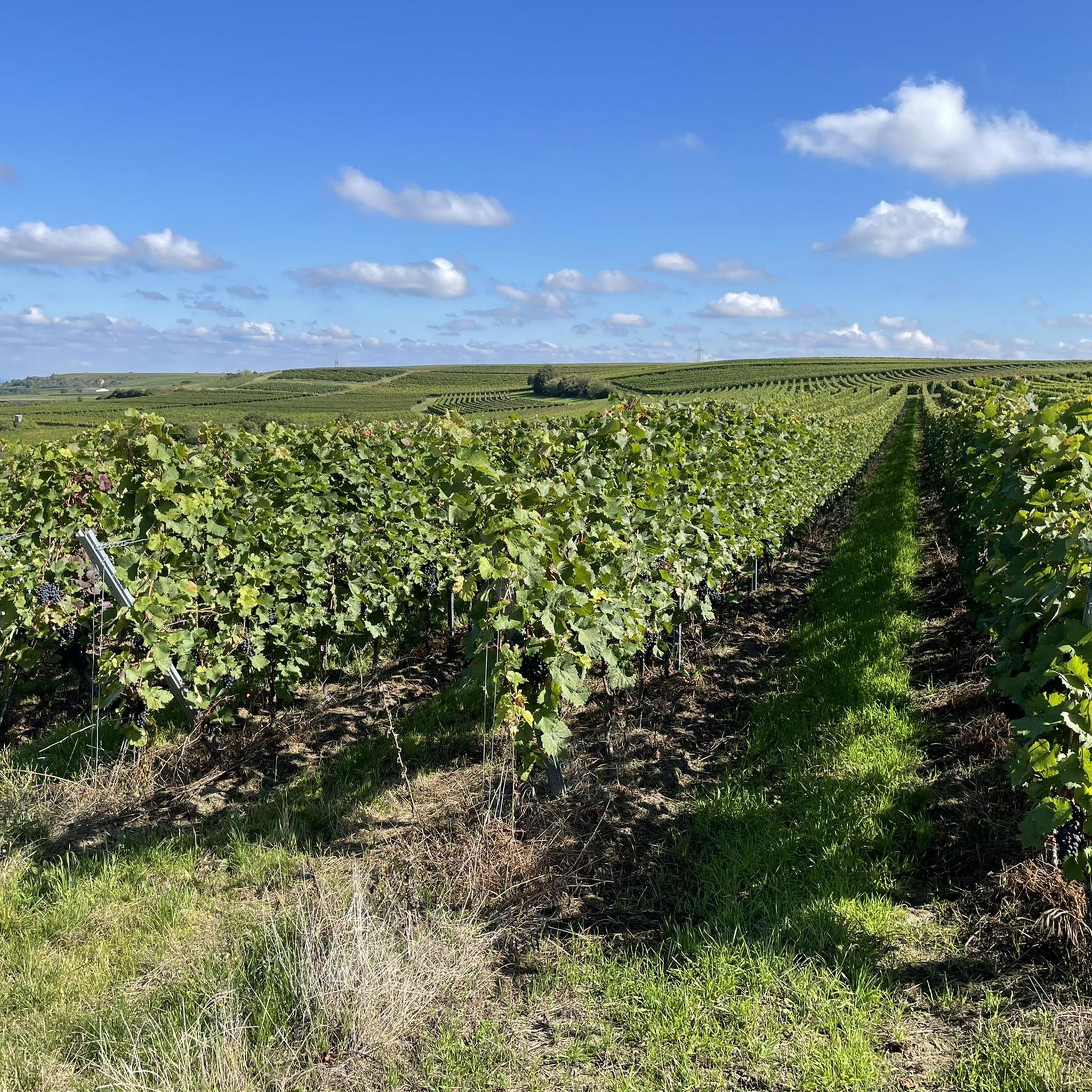
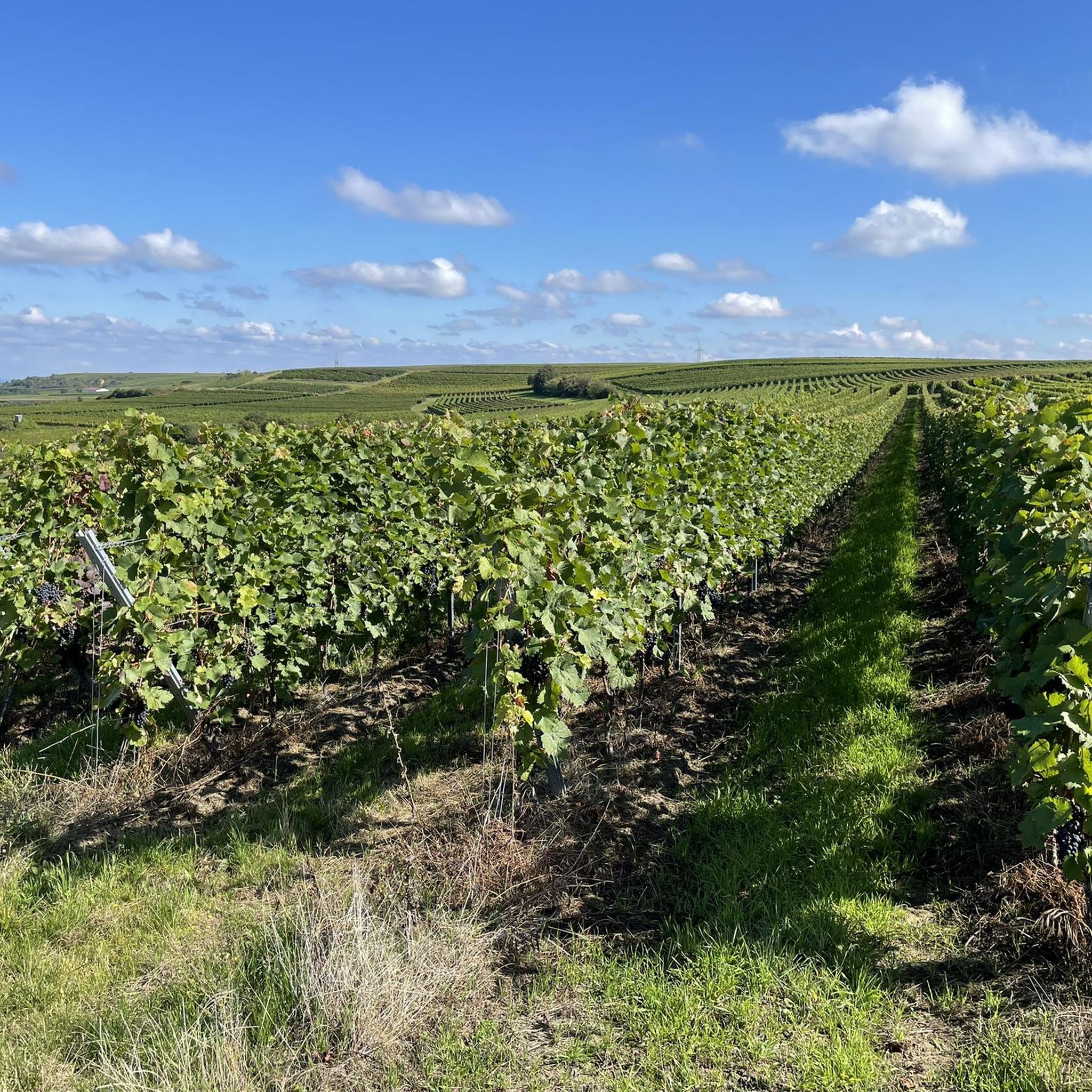
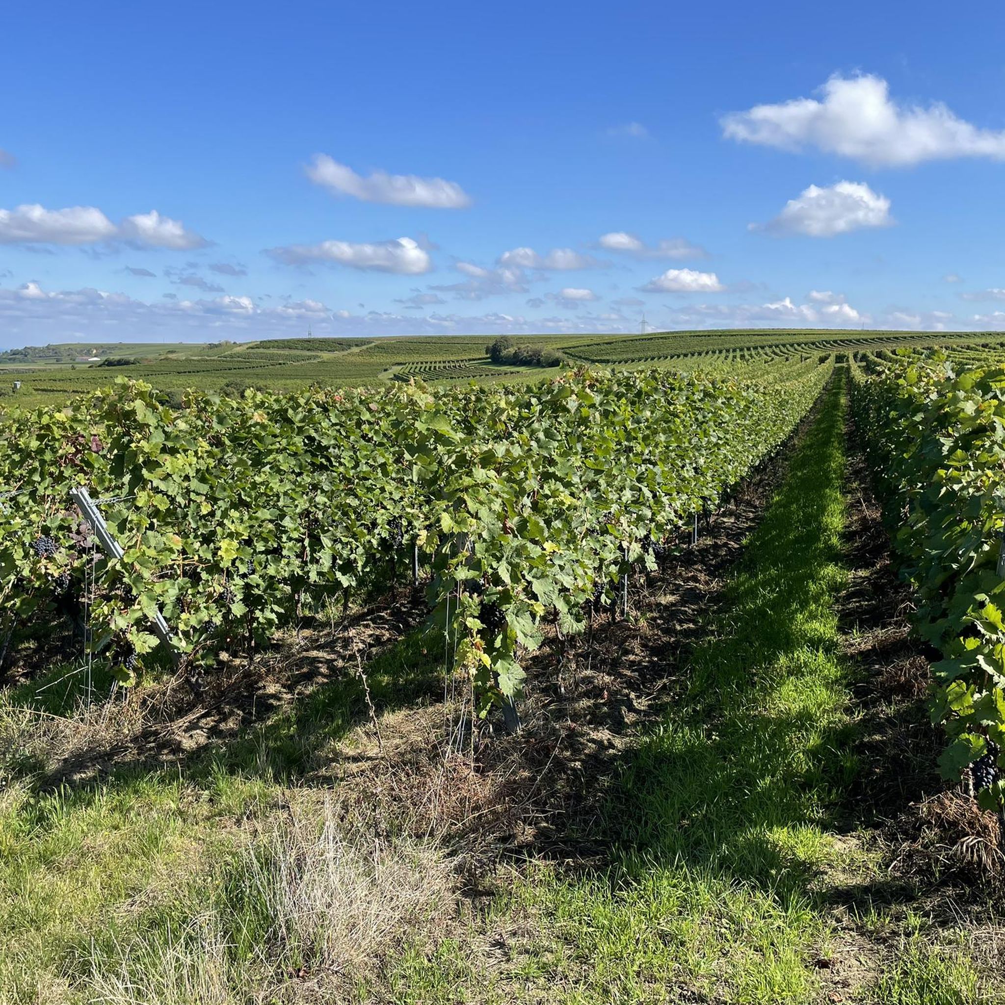
Zornheim is the perfect detour if you want to escape the hustle and bustle of Mainz. Right at the beginning of the Hiwweltour Zornheimer Berg, the Ruhkreuz awaits with a real surprise. The Frankfurt skyline is very visible on a clear day and shows how close Rheinhessen is to the Rhein-Main area. If you prefer not to see any skyscrapers, just turn around and look at the renatured Selz and the endless Reebenmeer. It is not for nothing that the Ruhkreuz near Zornheim was voted the "Most Beautiful Wine View 2020" this year. Definitely plan a trip to the place. The Lindenplatz with the Three Graces fountain and the church is one of the most beautiful squares in Rheinhessen.
1
0

A very beautiful lake for a relaxing break. The water is perfect for swimming.
1
0
Beautiful view from the Toad Fountain over the vines to Oppenheim.
4
0
ダライムでのの人気観光スポット

komootモバイルアプリでインスピレーションを得よう


さらに探索
これらのガイドで、最高の洞窟を探す範囲を広げましょうダライムでの:
