フライゼンの天然記念物・トップ20
フライゼンが誇る美しい風景を見てみたいなら、フライゼンの素晴らしい天然記念物・トップ20
に行ってみましょう。あなたにぴったりの場所が見つかるよう、素晴らしい天然記念物を探索するために必要なすべての情報を集めました。次のアウトドアの冒険に出かける計画の参考にしましょう。
最終更新日: 10月 11, 2026
ティーフェンバッハ・パート
ハイライト • トレイル
翻訳を表示中
役立つ情報 は

ウアヴァイラー採石場
ハイライト • 自然記念物
最初の知られている賃貸契約は19世紀半ばのものです。1975年までここで石が採掘されていました。岩盤から石を切り出す作業は、石工の仕事でした。20世紀まで、これは割楔、ハンマー、黒色火薬の助けを借りてのみ行われる、極めて骨の折れる危険な仕事でした。日雇い労働者やウルヴァイラーの農民が補助作業員として雇われ、春から秋にかけての運搬作業で収入を補っていました。冬は雪、氷、滑りやすい危険のため、採石場での作業は不可能でした。出典:インフォメーションボードのテキスト
翻訳を表示中
役立つ情報 は

今すぐサインアップして、こんな場所を発見しよう
最高のシングルトラック、ピーク、その他のエキサイティングなアウトドアスポットのおすすめを受け取ろう。
ボスタル湖の彫刻の道にある「Liebesthron(リーベストローン)」
ハイライト • 記念碑
翻訳者 Google •
役立つ情報 は

ベルクマンの泉
ハイライト • 自然記念物
The first evidence of coal mining in this area comes from 1780. The coal was close to the surface and could be extracted in open-cast mining. From 1820, …
翻訳者 Google •
役立つ情報 は
ベーレンフェルスの岩場
ハイライト • 自然記念物
翻訳者 Google •
役立つ情報 は

無料でサインアップして、さらに多くの自然記念物を発見しましょう フライゼンでの。
すでにアカウントをお持ちですか?




コミュニティからのヒント

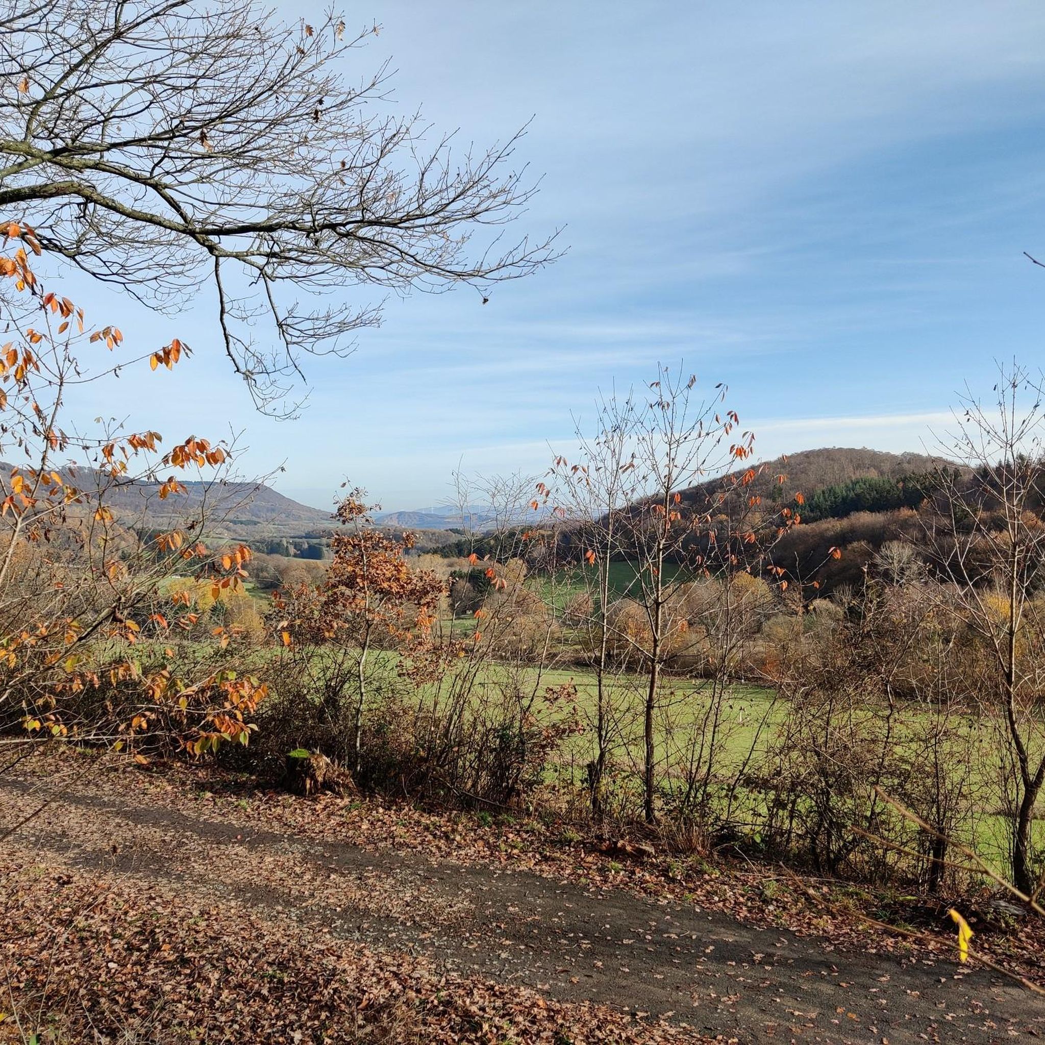
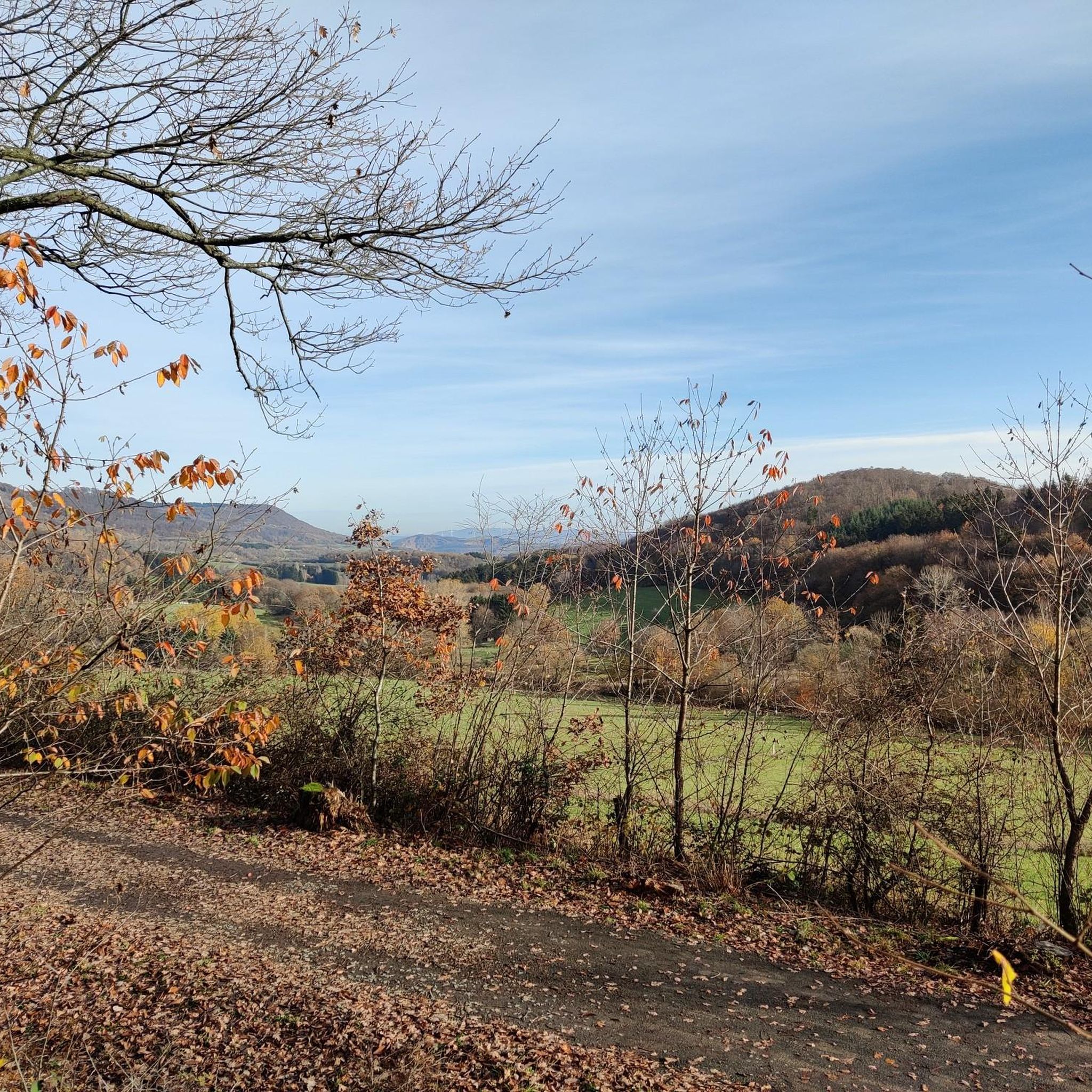
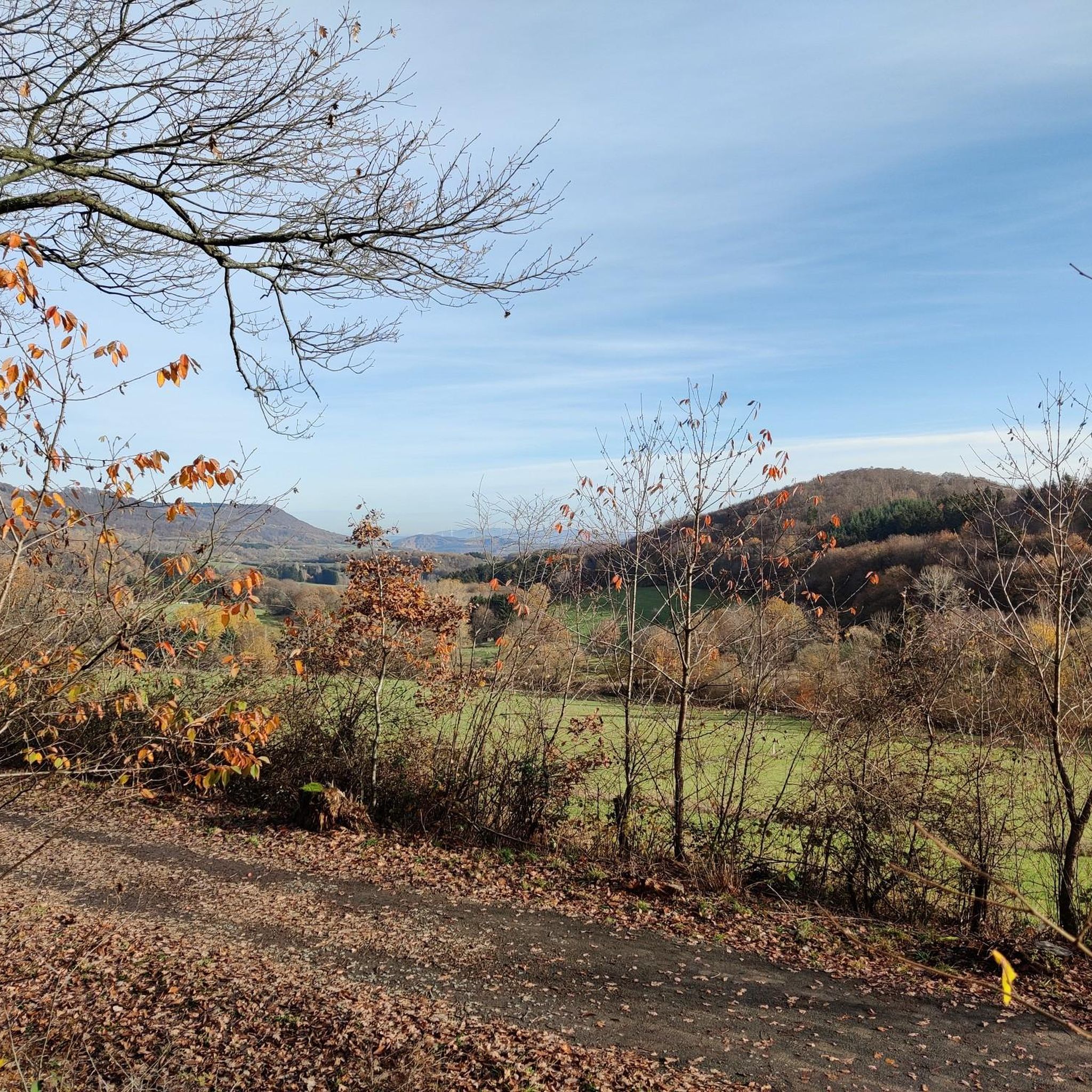
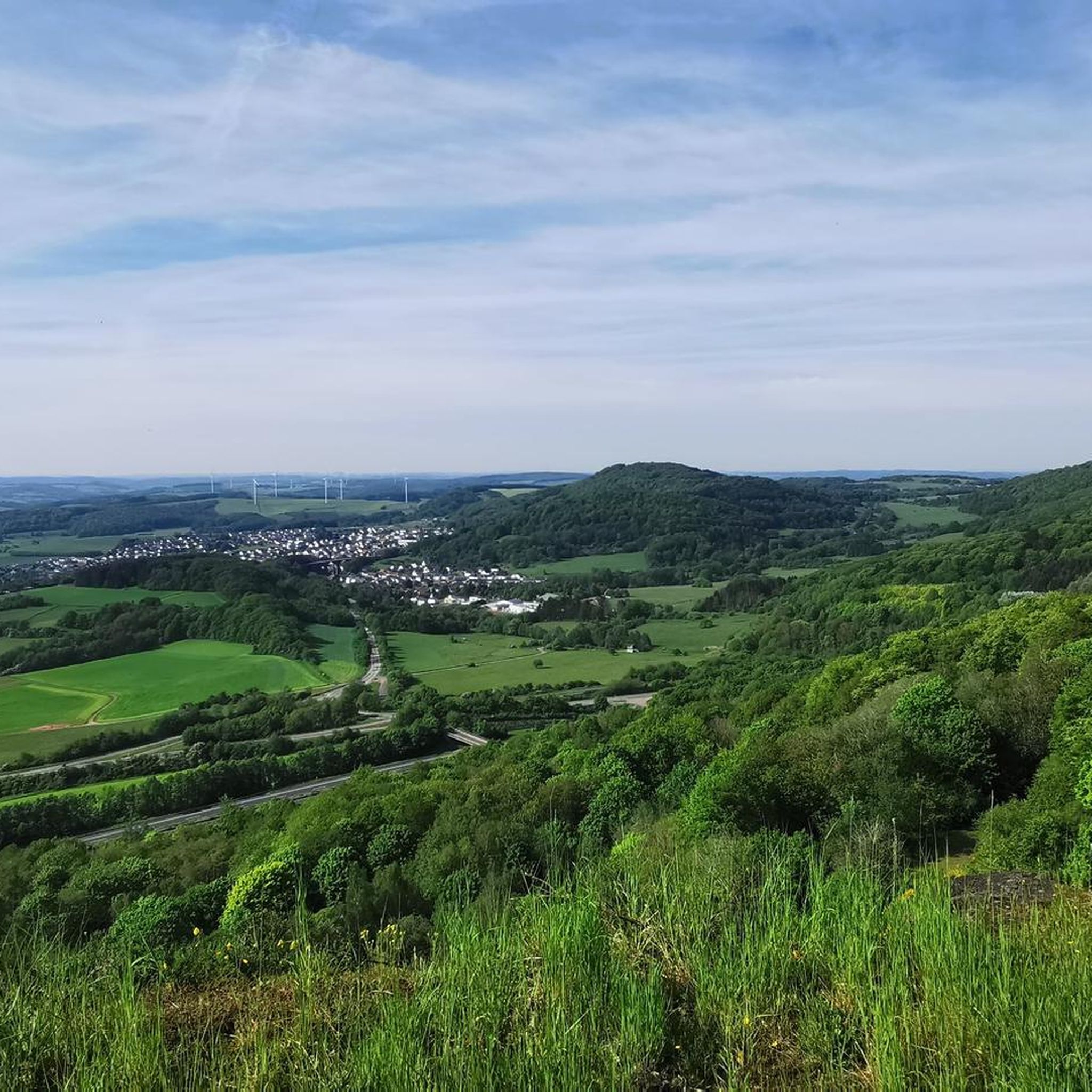
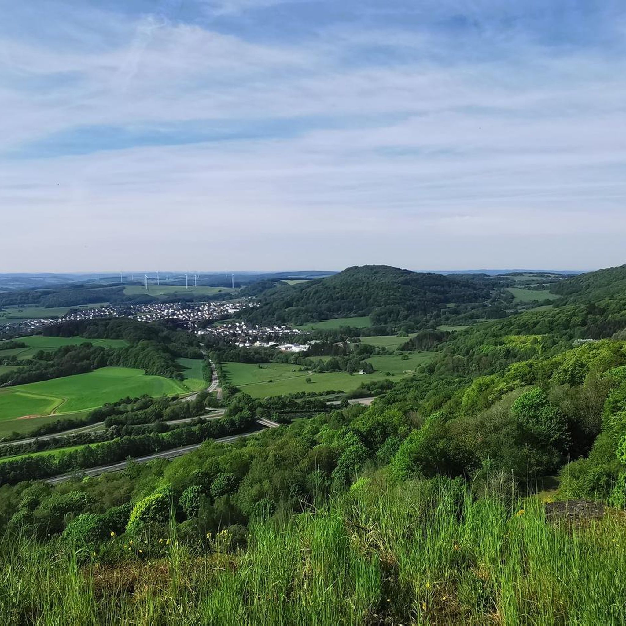
🪨 Bärenfels rock outcrop – a striking vantage point above the valley The Bärenfels is a striking rock formation at the edge of the forest, offering expansive views over the region's forests, hills, and valleys. The rock outcrop juts slightly above the terrain and offers a natural panoramic viewpoint for hikers with a head for heights. Tip: In dry weather, the rock is easy to climb – sturdy shoes are a must! Ideal for a short rest with a view and a great photo opportunity.
0
0

The Love Throne is an impressive yellow sandstone sculpture located on the Sculpture Road from St. Wendel to Bostalsee. Children love to climb onto the throne and enjoy the view.
7
0


𝑫𝒆𝒓 𝑩ä𝒓𝒆𝒏𝒇𝒆𝒍𝒔 The Bärenfels is the second highest point in the rose forest. Until the 1990s you could see the water of the Bostalsee from Bärenfels. Today, tall Douglas firs prevent this view, but you have a wonderful view of the high forest and the birch fields. Source: Text information board
8
1
𝐃𝐞𝐫 𝐁𝐞𝐫𝐠𝐦𝐚𝐧𝐧𝐬𝐛𝐫𝐮𝐧𝐧𝐞𝐧 The first evidence of coal mining in this area comes from 1780. The coal was close to the surface and could be extracted in open-cast mining. From 1820, four pits (called Prinzengrube) in the Tiefenbachtal were also mined in tunnels. The concession holders were the brothers Karl and Philipp Cetto from Langenfelderhof, today Wendelinushof. During this period there are talk of 136 employees who extracted almost 14,000 quintals of hard coal. In 1860 the operation was stopped because larger coal seams had meanwhile been discovered on the Saar and Blies. The miners reached the tunnel via the “miners' path”, which is now part of the Tiefenbach path. On their way they passed the source in the Tiefenbachtal and filled up their drinking water here. This spring is still known today as the miner's well. Source: Text information board
9
0
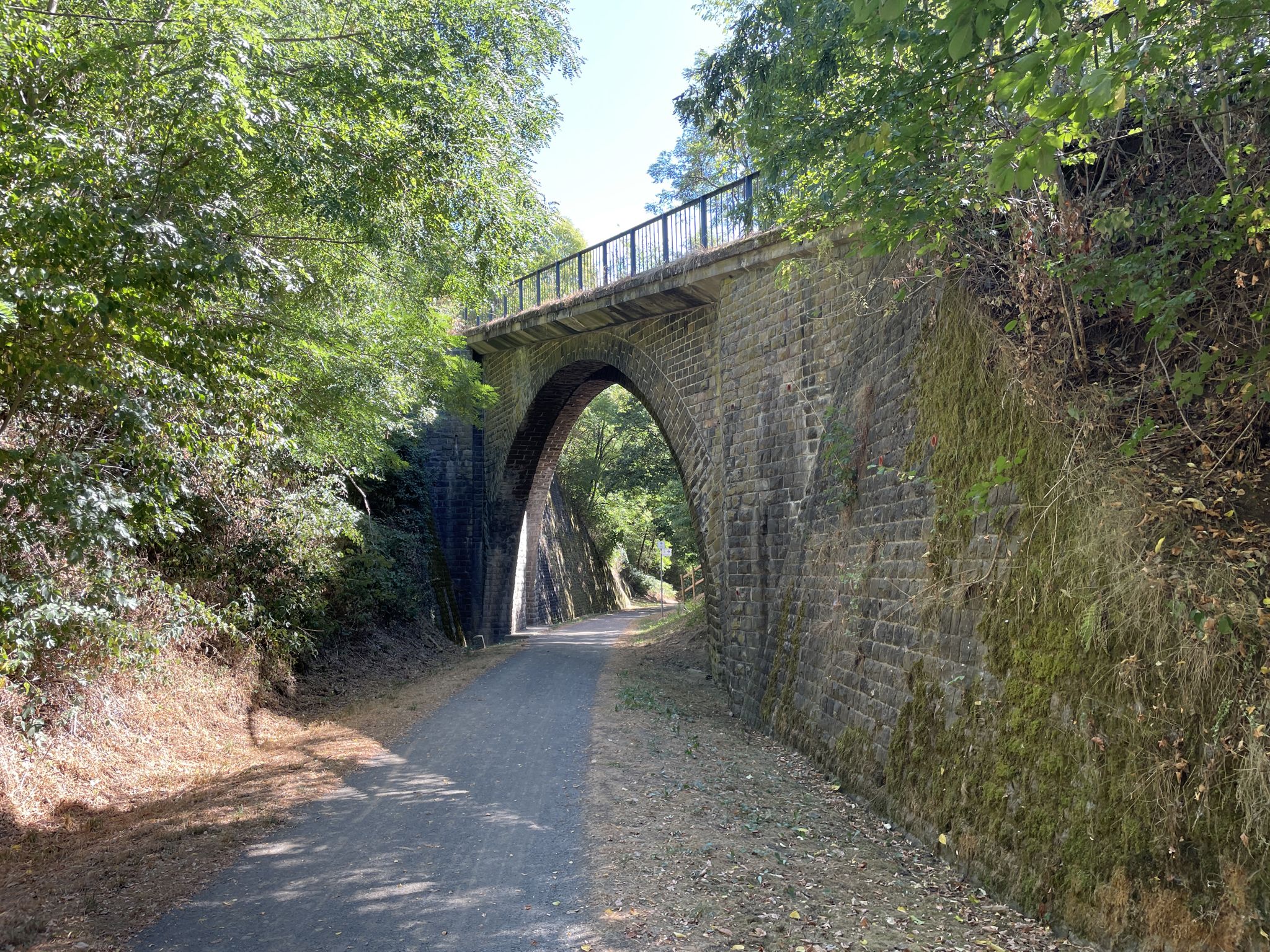
このボーゼンベルクの一部は、かつて複数の硬石採石場があったため、ブルッフヴァルト(瓦礫の森)と呼ばれています。ティーフェンバッハ小道が通っている採石場は、「ウルヴァイラー・エルベン」という今日の森林所有者のものでした。 最初の知られている賃貸契約は19世紀半ばのものです。1975年までここで石が採掘されていました。岩盤から石を切り出す作業は、石工の仕事でした。20世紀まで、これは割楔、ハンマー、黒色火薬の助けを借りてのみ行われる、極めて骨の折れる危険な仕事でした。日雇い労働者やウルヴァイラーの農民が補助作業員として雇われ、春から秋にかけての運搬作業で収入を補っていました。冬は雪、氷、滑りやすい危険のため、採石場での作業は不可能でした。出典:インフォメーションボードのテキスト
7
0
𝐊𝐮𝐫𝐳𝐛𝐞𝐬𝐜𝐡𝐫𝐞𝐢𝐛𝐮𝐧𝐠 𝐓𝐢𝐞𝐟𝐞𝐧𝐛𝐚𝐜𝐡-𝐏𝐟𝐚𝐝 The Tiefenbach path is around 15 km long and leads around the Bosenberg in St Wendel. It is characterized by many small valleys that are crossed by rustic footbridges. At the starting point is the Wendelinushof, the former farm of the Steyler missionaries, which is still managed today. Here products from the region are offered in the local goods market and in the restaurant. The Leitersweiler beeches, about 250 to 300 years old giant trees, are a very special natural monument. They line the path into the Tiefenbachtal and offer a great view of Leitersweiler and the surrounding Hunsrück heights. Clear water still bubbles in the miner's fountain today. At the Fledermauskopf you can enjoy wonderful views of the surroundings of the Sankt Wendel region. In the distance, the 568 m high Schaumberg stands out, one of the highest peaks in the region. The view also wanders over the mountain tops of the eastern Saarland and opens up into the Ostertal. After the hike, the medieval old town of St Wendel invites you to linger. It is also worth visiting the late Gothic basilica from the 14th century, in which the bones of St. Wendelinus are buried in a high grave at the altar. Source: Text information board Starting point: Wendelinushof forest car park Route length: 15.3 km Elevation gain: 542 m Difficulty level: medium Walking time: 4 - 5 hours Recommended walking direction: clockwise 𝐖𝐞𝐠𝐛𝐞𝐬𝐜𝐡𝐫𝐞𝐢𝐛𝐮𝐧𝐠 https://www.urlaub.saarland/Media/Touren/Tiefenbach-Pfad
9
0

komootモバイルアプリでインスピレーションを得よう


