ノーフェルデンの天然記念物・トップ20
ノーフェルデンが誇る美しい風景を見てみたいなら、ノーフェルデンの素晴らしい天然記念物・トップ20
に行ってみましょう。あなたにぴったりの場所が見つかるよう、素晴らしい天然記念物を探索するために必要なすべての情報を集めました。次のアウトドアの冒険に出かける計画の参考にしましょう。
最終更新日: 10月 11, 2026
ドルルベルク — ザールラント州の最高地点
ハイライト • 山頂
The incredible 'silence' of nature and the fairytale character of the immediate surroundings make this summit - which …
翻訳者 Google •
役立つ情報 は

ケルトの環状城壁(フンネンリング)オッツェンハウゼン
ハイライト (セグメント) • 歴史的な場所
Even today the following …
翻訳者 Google •
役立つ情報 は
今すぐサインアップして、こんな場所を発見しよう
最高のシングルトラック、ピーク、その他のエキサイティングなアウトドアスポットのおすすめを受け取ろう。
ノンネヴァイラー貯水池
ハイライト • 湖
翻訳者 Google •
役立つ情報 は

マンフェルス岩石群
ハイライト • 自然記念物
The legend about the creation of the Mannfels "Once upon a time there was a son of a Celtic prince who was in love with a daughter of …
翻訳者 Google •
役立つ情報 は

ティーフェンバッハ・パート
ハイライト • トレイル
翻訳を表示中
役立つ情報 は

無料でサインアップして、さらに多くの自然記念物を発見しましょう ノーフェルデンでの。
すでにアカウントをお持ちですか?
無料アカウントで今日から始めよう
次の冒険が待っています。
ノーフェルデン周辺で人気
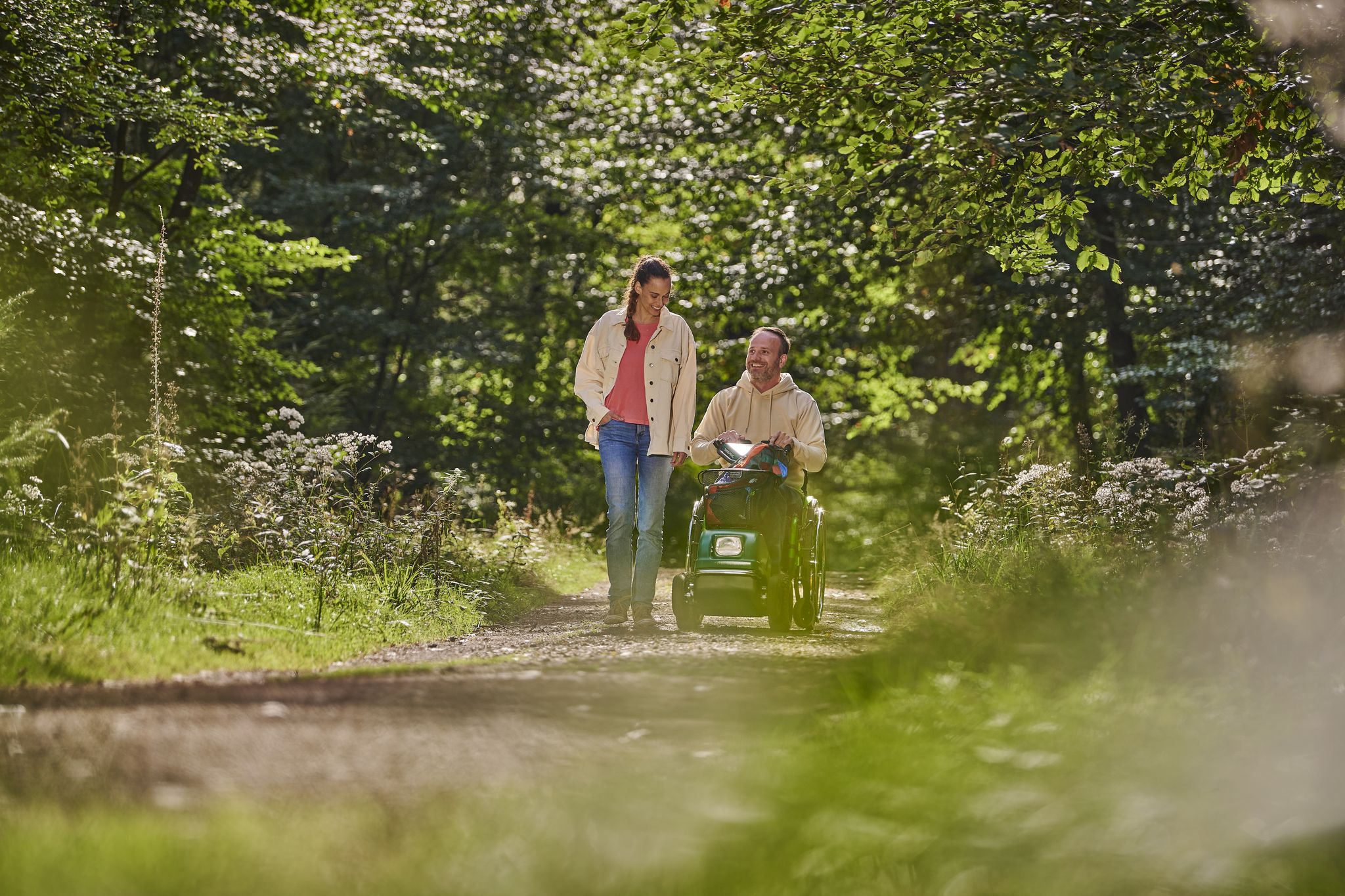
アウトドアへ – 誰でも楽しめる自然体験
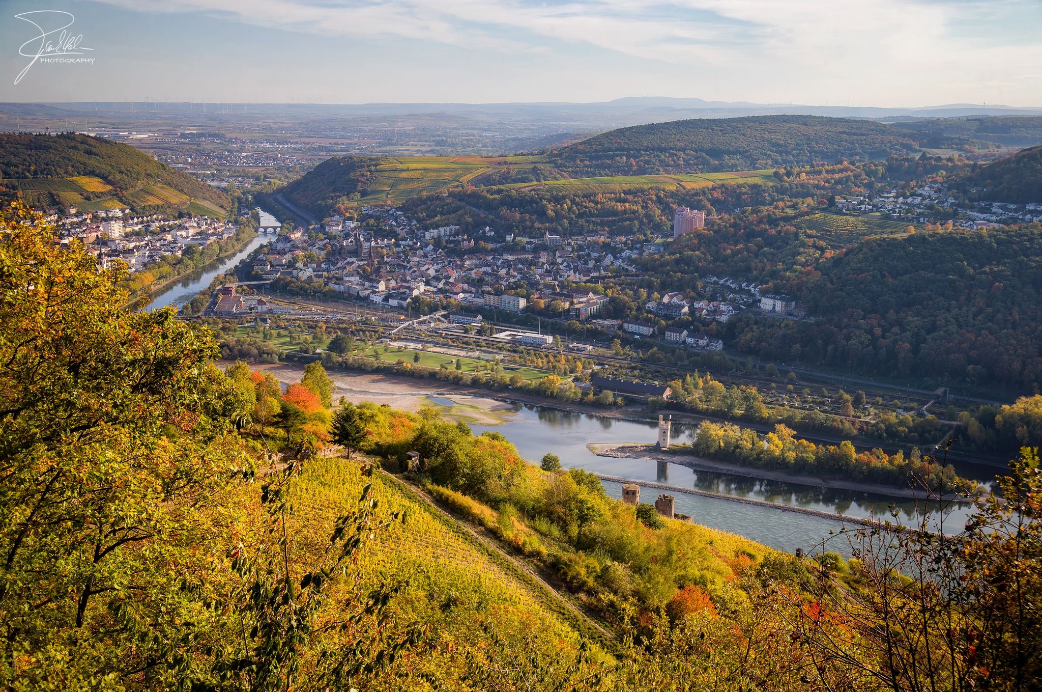
岩と葡萄の間のナーエライツェルクルマ道
ストライン国がませんないよりまたいます、7おるのストアルドルのインス
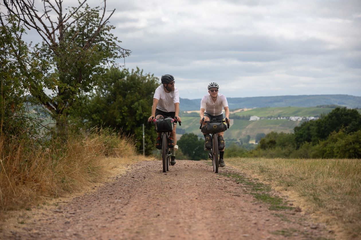
Saarland Gravel Loop: a three-border bikepacking tour

ドイツで最低から最高

Countless trails, nature & history – hiking in Saarland
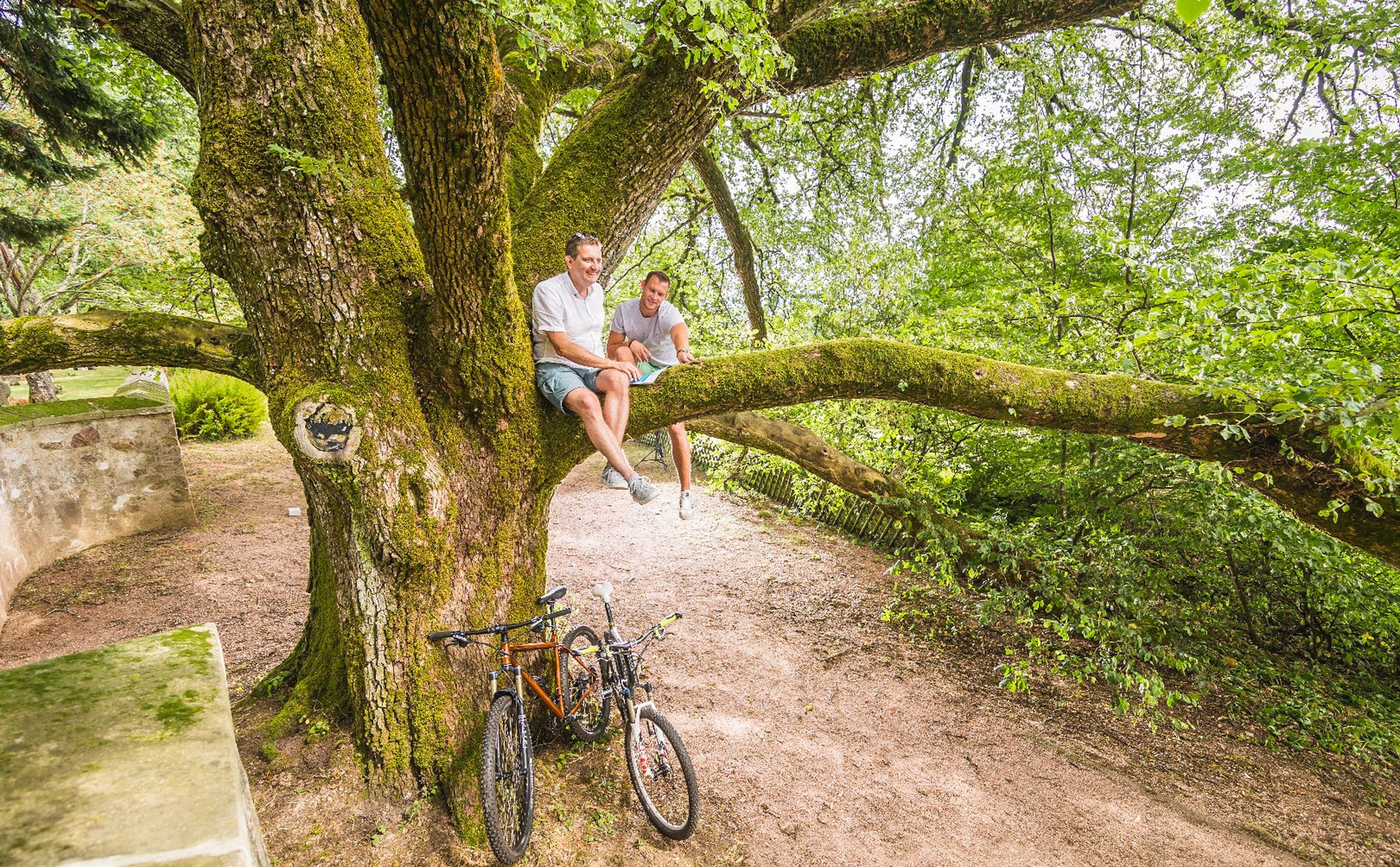
Cycling pleasure in Birkenfeld Land

晴れの週末にperfektな33の湖
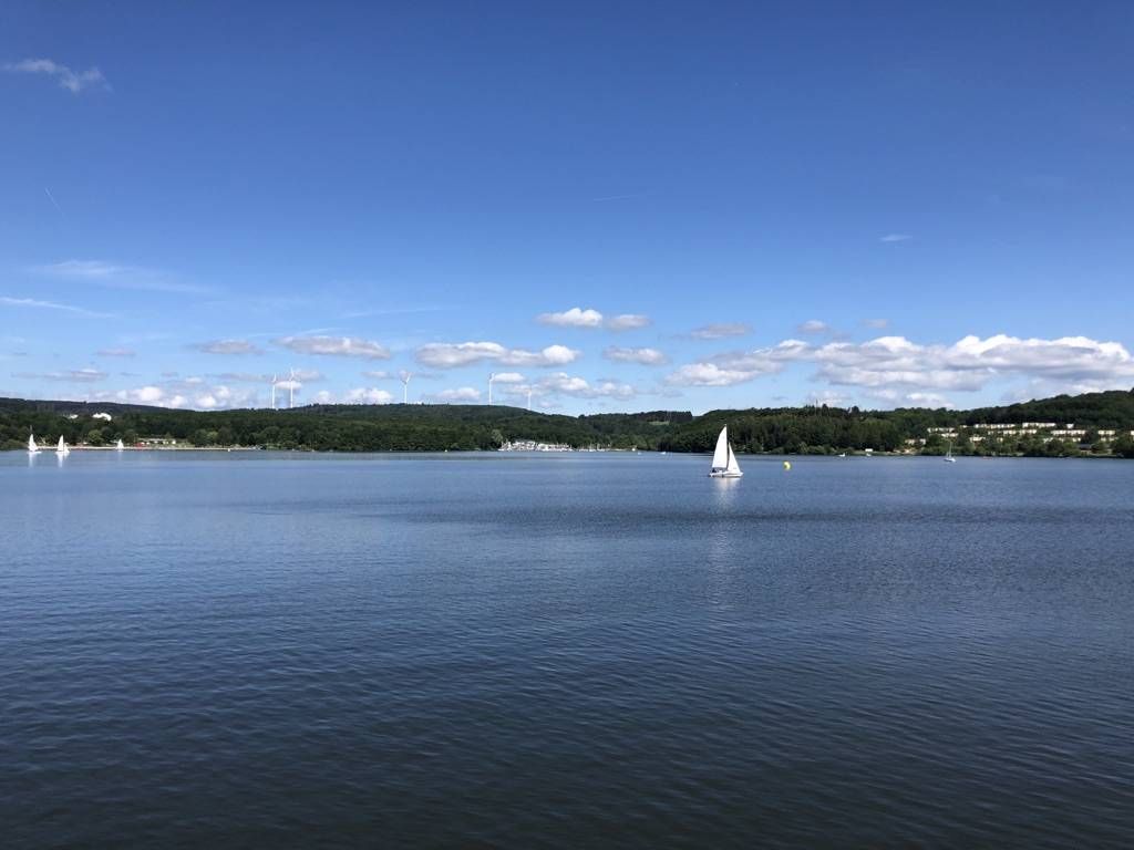
The best swimming lakes in Rhineland Palatinate and Saarland
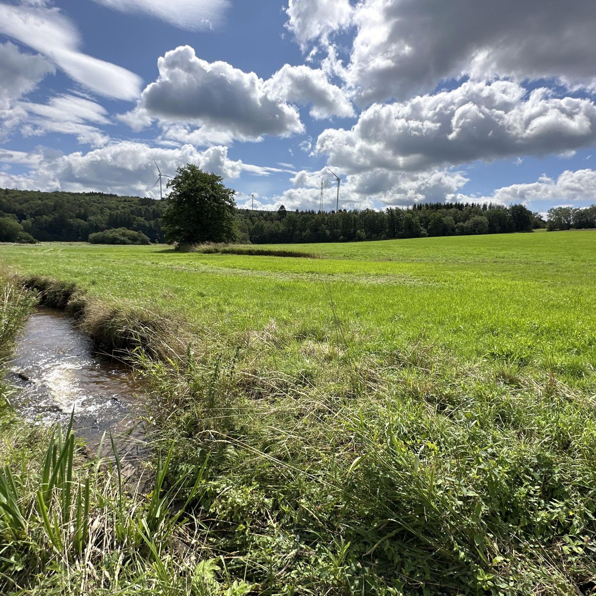
ノーフェルデンでのハイキング
ノーフェルデンでのの他の冒険


コミュニティからのヒント

The highest point in Saarland is located in a very quiet forest. Without the sign you probably wouldn't notice it.
8
0

There is still a Celtic ring wall in Otzenhausen today, which is considered the best-preserved Celtic monument in Germany. The complex, also known as the “Hunnenring”, is 40 m thick and still reaches a height of 12 m today. Archaeological excavations are still active here. In the Celtic Park, at the foot of the Otzenhausen ring wall, a “real” Celtic village is currently being built, just as it might have looked 2,000 years ago within the huge fortress at the top of the Dollberg. The reconstruction of an authentic Celtic settlement is an essential part of the emerging Celtic park. When completed, the settlement will consist of a total of 10 residential, craft and storage buildings, the architecture and construction of which are based on historical findings and models. Preparatory work for the construction of the fourth and final construction group, consisting of a residential and a craftsman's house, recently began. (https://www.urlaub.saarland/Media/Attractions/Keltische-Ringwall-Otzenhausen#/article/4ccd7ea8-a3f4-4c69-b4ea-78c2475e7077)
6
0

The Dollberg is 695 m above sea level. NN is the highest mountain in Saarland and belongs to one of the prominent mountain ranges in the high forest. These stretch as ridges running from southwest to northeast from the Saar to the Rhine. The ridges consist of quartzite, which in turn has its origin in sandstone. This was finally transformed into quartzite by pressure and high temperatures during the folding of the mountains in the Devonian. Due to its hardness, it is comparatively weather-resistant. As the surrounding, softer rock was eroded, the quartzite deposits were preserved as ridges. A beautiful hiking destination and, as the highest "mountain" in Saarland, of course also a highlight here in the region. https://www.naturpark.org/natur-und-kultur/natur/geologie/geopunkte-devon-permokarbon-nonnweiler-und-zuesch/dollberg
8
0


Traveling to all 16 peaks in the federal states, it is very interesting to see how differently the states deal with their highest peaks. Perhaps the term "natural" fits quite well here
10
0


𝐊𝐮𝐫𝐳𝐛𝐞𝐬𝐜𝐡𝐫𝐞𝐢𝐛𝐮𝐧𝐠 𝐓𝐢𝐞𝐟𝐞𝐧𝐛𝐚𝐜𝐡-𝐏𝐟𝐚𝐝 The Tiefenbach path is around 15 km long and leads around the Bosenberg in St Wendel. It is characterized by many small valleys that are crossed by rustic footbridges. At the starting point is the Wendelinushof, the former farm of the Steyler missionaries, which is still managed today. Here products from the region are offered in the local goods market and in the restaurant. The Leitersweiler beeches, about 250 to 300 years old giant trees, are a very special natural monument. They line the path into the Tiefenbachtal and offer a great view of Leitersweiler and the surrounding Hunsrück heights. Clear water still bubbles in the miner's fountain today. At the Fledermauskopf you can enjoy wonderful views of the surroundings of the Sankt Wendel region. In the distance, the 568 m high Schaumberg stands out, one of the highest peaks in the region. The view also wanders over the mountain tops of the eastern Saarland and opens up into the Ostertal. After the hike, the medieval old town of St Wendel invites you to linger. It is also worth visiting the late Gothic basilica from the 14th century, in which the bones of St. Wendelinus are buried in a high grave at the altar. Source: Text information board Starting point: Wendelinushof forest car park Route length: 15.3 km Elevation gain: 542 m Difficulty level: medium Walking time: 4 - 5 hours Recommended walking direction: clockwise 𝐖𝐞𝐠𝐛𝐞𝐬𝐜𝐡𝐫𝐞𝐢𝐛𝐮𝐧𝐠 https://www.urlaub.saarland/Media/Touren/Tiefenbach-Pfad
9
0

komootモバイルアプリでインスピレーションを得よう


