シュトロッツビュッシュの天然記念物・トップ20
シュトロッツビュッシュが誇る美しい風景を見てみたいなら、シュトロッツビュッシュの素晴らしい天然記念物・トップ20
に行ってみましょう。あなたにぴったりの場所が見つかるよう、素晴らしい天然記念物を探索するために必要なすべての情報を集めました。次のアウトドアの冒険に出かける計画の参考にしましょう。
最終更新日: 10月 11, 2026
カールモント山頂下に広がるモーゼル川の蛇行のパノラマビュー
ハイライト • 展望台
翻訳者 Google •
役立つ情報 は

シャルケンメーレナー・マー
ハイライト • 湖
翻訳者 Google •
役立つ情報 は

今すぐサインアップして、こんな場所を発見しよう
最高のシングルトラック、ピーク、その他のエキサイティングなアウトドアスポットのおすすめを受け取ろう。
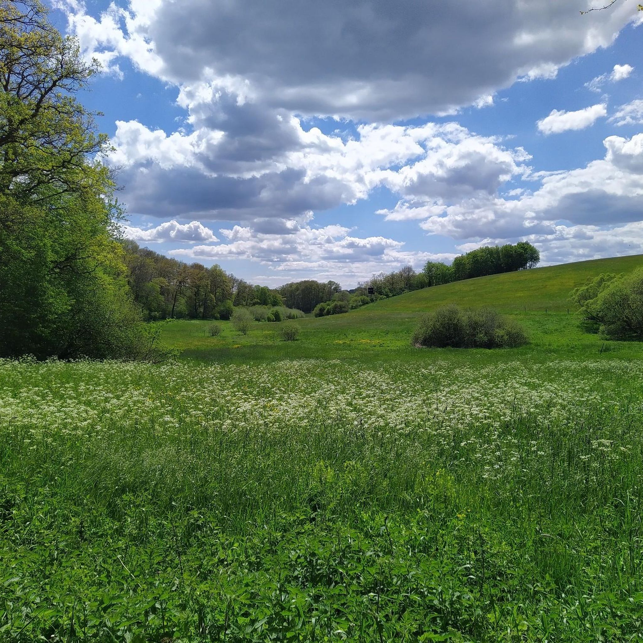
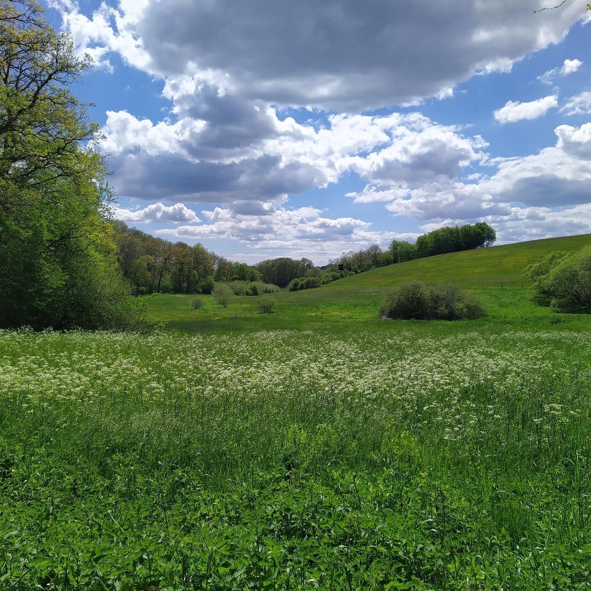
ヴァインフェルダー・マール(トーテンマール)の眺め
ハイライト • 湖
翻訳者 Google •
役立つ情報 は

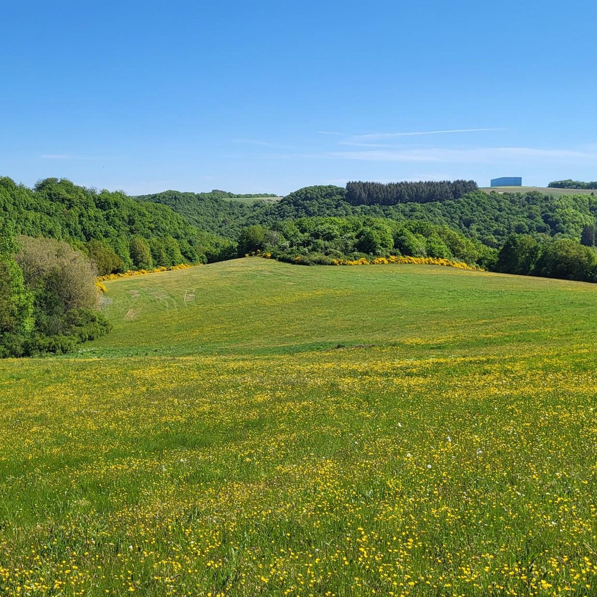
ブレムのモーゼル川の蛇行の眺め
ハイライト • 展望台
翻訳者 Google •
役立つ情報 は

ヴァインフェルダー・マールの視点
ハイライト • 湖
翻訳者 Google •
役立つ情報 は

無料でサインアップして、さらに多くの自然記念物を発見しましょう シュトロッツビュッシュでの。
すでにアカウントをお持ちですか?


コミュニティからのヒント

The Daun Maars - 10,000-Year-Old Volcanic Lakes The Daun Maars were formed around 10,000 years ago from volcanic steam explosions. Hot lava rises from the Earth's interior and meets water, which suddenly evaporates. This blasts away entire mountain peaks. What remains is a deep crater that fills with water over the years and a wall of boulders surrounding the lake. The Daun Maars include the Gemünden Maar, the Weinfelder Maar, and the Schalkenmehrener Doppelmaar. One crater of the Schalkenmehren Maar has silted up over the millennia. The area is a nature reserve and a refuge for waterfowl and rare dragonfly species. Text / Source: deutschland-outdoor.der https://deutschland-outdoor.de/eifel/dauner-maare
13
0
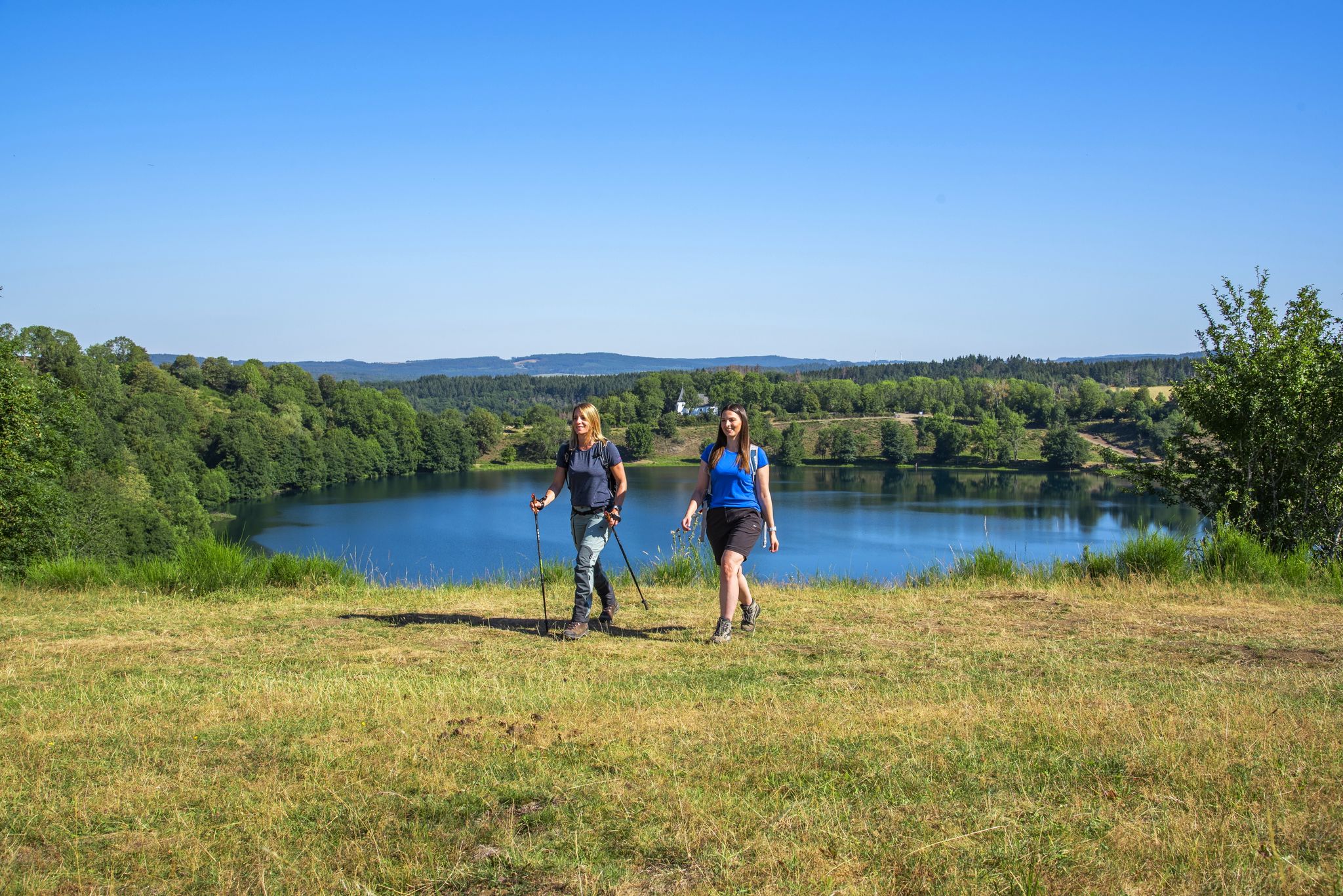
Weinfelder Maar The Weinfelder Maar, formed by volcanic activity around 20,000 to 30,000 years ago, is the highest of the three Daun Maars at 487 meters above sea level. The lake is 51 meters deep and has a diameter of 396 to 429 meters. An almost melancholic atmosphere surrounds the maar. Many legends surround the tranquil Eifel eye. A castle is said to have once stood on the site of the crater, where a count lived with his wife and only child. After returning home from a hunt, the castle had sunk as punishment for the woman's nastiness, and he found only a lake where a cradle miraculously floated his child safely to the shore. If you look at the dark surface of the water long enough, it is said that you can make out the outline of the castle. The German landscape painter Fritz von Wille was so fascinated by the Weinfelder Maar that he repeatedly immortalized it in his paintings. Among his favorite motifs was the small chapel on the north bank, dedicated to Saint Martin. It was once the parish church of the village of Weinfeld, which was ravaged by the plague in the 16th century. Anyone who rings the bells inside by pulling the ropes can make a wish. To this day, the associated cemetery is maintained and used by the local community of Schalkenmehren. This is also where its second name, Totenmaar, comes from. Donkeys and goats have been introduced to the Weinfelder Maar to regulate vegetation. The maar's unique flora and fauna are protected. Swimming and other water sports are prohibited in the Weinfelder Maar, but a nearly two-kilometer-long path makes it a wonderful place to explore on foot. Parking: Guests can park along the L64 either in the parking lot at the Weinfelder Maar or on the Maarsattel between the Weinfelder Maar and the Schalkenmehrener Maar. Text / Source: GesundLand Vulkaneifel GmbH, Leopoldstr. 9 A, 54550 Daun https://www.eifel.info/a-weinfelder-maar
15
0
The Daun Maars - 10,000-Year-Old Volcanic Lakes The Daun Maars were formed around 10,000 years ago from volcanic steam explosions. Hot lava rises from the Earth's interior and encounters water, which suddenly evaporates. This blasts away entire mountain peaks. What remains is a deep crater that fills with water over the years and a wall of boulders surrounding the lake. The Daun Maars include the Gemünden Maar, the Weinfelder Maar, and the Schalkenmehrener Doppelmaar. One crater of the Schalkenmehrener Maar has silted up over the millennia. The area is a nature reserve and a refuge for waterfowl and rare dragonfly species. Text / Source: deutschland-outdoor.der https://deutschland-outdoor.de/eifel/dauner-maare
13
0
Weinfelder Maar The Weinfelder Maar, formed by volcanic activity around 20,000 to 30,000 years ago, is the highest of the three Dauner Maars at 487 meters above sea level. The lake is 51 meters deep and has a diameter of 396 to 429 meters. An almost melancholic atmosphere surrounds the maar. Many legends surround the quiet Eifel eye. A castle is said to have once stood on the site of the crater, where a count lived with his wife and only child. After returning home from a hunt, the castle had sunk as punishment for the woman's nastiness, and he found only a lake where a cradle miraculously floated his child safely to the shore. If you look at the dark surface of the water long enough, it is said that you can make out the outline of the castle. The German landscape painter Fritz von Wille was so fascinated by the Weinfelder Maar that he repeatedly immortalized it in his paintings. Among his favorite motifs was the small chapel on the north bank, dedicated to Saint Martin. It was once the parish church of the village of Weinfeld, which was struck by the plague in the 16th century. Anyone who makes the bells inside ring by pulling the ropes can make a wish. To this day, the associated cemetery is maintained and used by the local community of Schalkenmehren. This is where its second name, Totenmaar, comes from. Donkeys and goats have been introduced to the Weinfelder Maar to regulate vegetation. The maar's unique flora and fauna are protected. Swimming and other water sports are prohibited in the Weinfelder Maar, but a nearly two-kilometer-long path makes it a wonderful place to explore on foot. Parking: Visitors can park along the L64 either in the parking lot at the Weinfelder Maar or on the Maarsattel between the Weinfelder Maar and the Schalkenmehrener Maar. Text / Source: GesundLand Vulkaneifel GmbH, Leopoldstr. 9 A, 54550 Daun https://www.eifel.info/a-weinfelder-maar
12
0

The Moselle loop near Bremm is the most famous of the many river bends of the Moselle. The Stuben monastery ruins and the Petersberg in the background complete the picture. You can look directly at it from the Calmont summit - and also a little below, i.e. from the via ferrata.
11
2

From this vantage point you have one of the best valley views of the Moselle loop.
76
0

It is particularly beautiful in October when the leaves change color. Shortly after 10 a.m. we walked from Eidiger-Eller, first over the Todesangst and the Höhenweg, so we were above the Moselle loop at the right time. There is a rest area with a bench, from where we could watch how the fog revealed the colorful landscape.
13
0

Beautiful hiking tour with a view of the Moselle loop. 😍
13
0
シュトロッツビュッシュでのの人気観光スポット

komootモバイルアプリでインスピレーションを得よう


さらに探索
これらのガイドで、最高の洞窟を探す範囲を広げましょうシュトロッツビュッシュでの:
