ケルシェンバッハの天然記念物・トップ20
ケルシェンバッハが誇る美しい風景を見てみたいなら、ケルシェンバッハの素晴らしい天然記念物・トップ20
に行ってみましょう。あなたにぴったりの場所が見つかるよう、素晴らしい天然記念物を探索するために必要なすべての情報を集めました。次のアウトドアの冒険に出かける計画の参考にしましょう。
最終更新日: 10月 11, 2026
カルヴァリーベルク・トレイル(アレンドルフ)
ハイライト • トレイル
翻訳者 Google •
役立つ情報 は

カルヴァリエンベルクからのアレンドルフとランパートタールの眺め
ハイライト • 展望台
翻訳者 Google •
役立つ情報 は

今すぐサインアップして、こんな場所を発見しよう
最高のシングルトラック、ピーク、その他のエキサイティングなアウトドアスポットのおすすめを受け取ろう。
ランペルトタール
ハイライト (セグメント) • 峡谷
Depending …
翻訳者 Google •
役立つ情報 は

ダーレムのモーア遊歩道(木道)
ハイライト • トレイル
翻訳者 Google •
役立つ情報 は

クローネンブルガー湖
ハイライト • 湖
翻訳者 Google •
役立つ情報 は

無料でサインアップして、さらに多くの自然記念物を発見しましょう ケルシェンバッハでの。
すでにアカウントをお持ちですか?
無料アカウントで今日から始めよう
次の冒険が待っています。
コミュニティからのヒント

Small loop around the Kronenburger Lake. Unfortunately, wheelchair users cannot complete a complete loop as only one side is asphalted and the opposite side is rocky and not paved.
1
0

The Kronenburger See was built between 1973 and 1977 as a flood retention basin. The lake has been a popular destination for sailors, surfers, anglers and swimmers for years. During the summer months, the lido on the southern shore of the lake with its large lawn invites you to swim and sunbathe. In addition, the entire southern lake area can be navigated with surfboards, pedal boats and rowing boats (boat rental). Tennis courts, mini golf course, kiosk and playground complete the leisure activities on the south bank.
2
0

An absolutely beautiful relaxing place. Short vacation feeling guaranteed🤟👌👍
3
0

You'll almost come across here again on the way back. Enjoy the well signposted path!
9
0
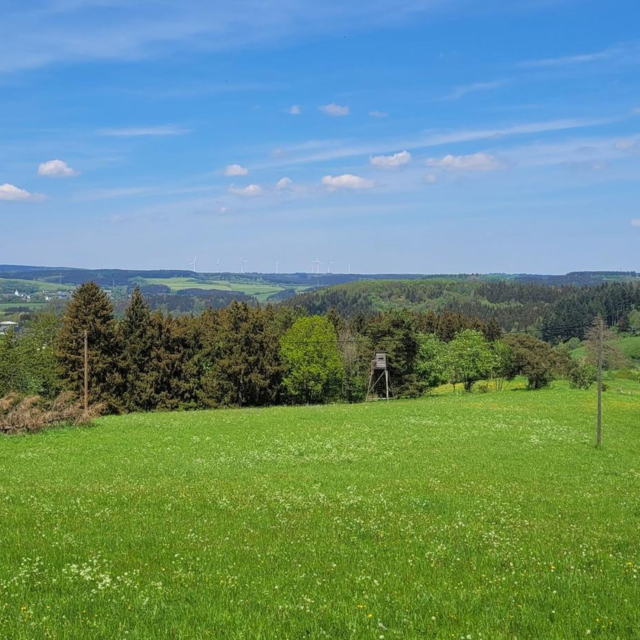
Just a few more meters and you've made it. At the top there is a great view and nice seating. Top!
8
0

Beautiful environment for hiking. There are several places to stop for a rest.
4
0

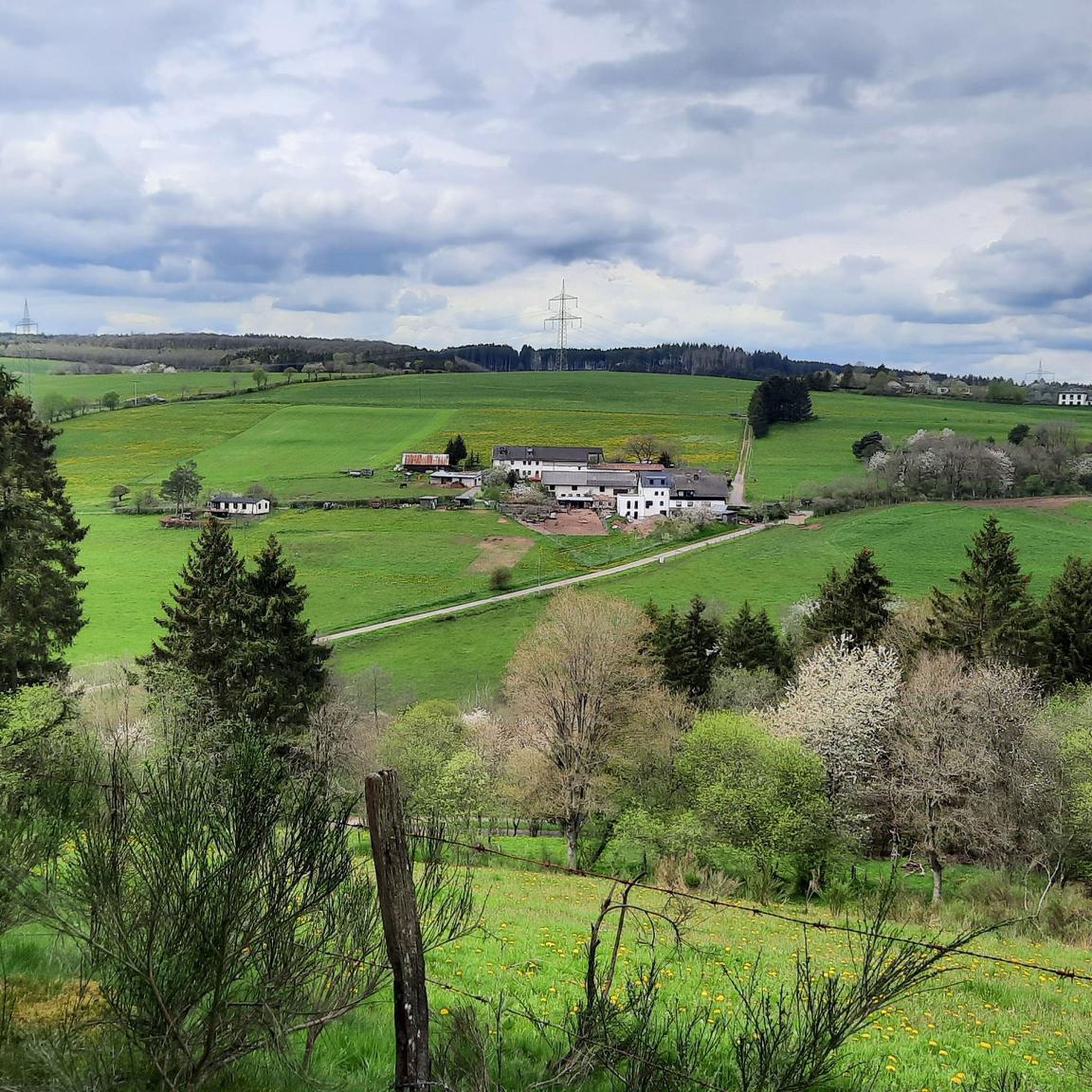
The mountain path leads through an extremely barren and beautiful juniper landscape. Loosened up by the Stations of the Cross and peppered with beautiful views of the valley.
9
0

The Kronenburger See was created between 1973 and 1976 as a cross-border joint project between the two federal states of North Rhine-Westphalia and Rhineland Palatinate. It serves primarily as a flood retention basin for the approximately 77 square kilometers large catchment area of the Kyll and Taubkyll and to this extent as flood protection for Kronenburg, but above all for the underlying localities in Rhineland-Palatinate. The so-called pre-barrier is partly in the Rhineland-Palatinate community of Gerolstein (Vulkaneifel district), the remaining area of the pre-barrier and the main lake are in the municipality of Dahlem (Euskirchen district). On an area of 27 hectares, the lake has a storage volume of approx. 2.7 million m³. The 18 m high dam is 320 m long and is lowered by 3.5 m every year from October to catch the autumn floods.
6
0
ケルシェンバッハでのの人気観光スポット

komootモバイルアプリでインスピレーションを得よう


さらに探索
これらのガイドで、最高の洞窟を探す範囲を広げましょうケルシェンバッハでの:
