シュパインスハルトの天然記念物・トップ20
シュパインスハルトが誇る美しい風景を見てみたいなら、シュパインスハルトの素晴らしい天然記念物・トップ20
に行ってみましょう。あなたにぴったりの場所が見つかるよう、素晴らしい天然記念物を探索するために必要なすべての情報を集めました。次のアウトドアの冒険に出かける計画の参考にしましょう。
最終更新日: 10月 11, 2026
ラウヘル・クルム展望塔
ハイライト • 展望台
Nicolaus Apel built a wooden observation tower as early as 1807. There was a movable gold-plated sun above …
翻訳者 Google •
役立つ情報 は

ラウヘン・クルムの環状土塁
ハイライト • 歴史的な場所
翻訳者 Google •
役立つ情報 は

今すぐサインアップして、こんな場所を発見しよう
最高のシングルトラック、ピーク、その他のエキサイティングなアウトドアスポットのおすすめを受け取ろう。
ヴァルデック城跡
ハイライト • 城
翻訳者 Google •
役立つ情報 は

ミサゴとオジロワシ観察ポイント(Großer Rußweiher)
ハイライト • 展望台
翻訳者 Google •
役立つ情報 は

グローサー・ルスヴァイアーとルスローヘヴァイアーの間
ハイライト • 湖
翻訳者 Google •
役立つ情報 は
無料でサインアップして、さらに多くの自然記念物を発見しましょう シュパインスハルトでの。
すでにアカウントをお持ちですか?
無料アカウントで今日から始めよう
次の冒険が待っています。

コミュニティからのヒント

ブルクシュタル・ラウヘンクルム 中世盛期の城の起源については、確かな史料が存在しない。1119年のミヒェルフェルト修道院の設立証書からは、ロイテンベルクのブッコ・デ・クルメンが2つのクルムのいずれかに居城を持っていたことがうかがえる。彼は科学的に証明された最初の城主ということになる。しかし、ラウヘ・クルムと klienekulm のどちらを指すのかは不明である。クルマインの町にあった建物である可能性も考えられるが、可能性は低い。発掘調査では、この時代の陶器の破片、矢じり、十字架、硬貨が出土している。ローゼルトによれば、ラウハー・クルムの城壁の建設は、ハンガリーからの差し迫った脅威を封じ込めようとした神聖ローマ皇帝オットー1世の戦略の一部であったという。950年頃の城の建設には、砂岩、木骨造り、レンガが使用された。軍事利用のほか、女性や子供たちも城に住んでおり、それを証明する遺物として、糸紡ぎの錘、小さな織り刀、大きな鉄製のナイフなどが見つかっている。 ニュルンベルク城伯フリードリヒ3世は1281年、ロイヒテンベルク方伯から城とその付属地域を買い取った。かつての塔は、マルクグラーフェンの信号システムの一部であった。 第二次マルクグラーフェン戦争において、マルクグラーフェン アルブレヒト・アルキビアデスのもと、クライン・クルムのシュレヒテンクルム城と共に、この城は1554年に破壊された。破壊される前、両方の城は約1年間、ニュルンベルク、バンベルク、ヴュルツブルク、バイエルン帝国都市の軍隊によって、選帝侯領の代官ハンス・ウムゼーア・フォン・ヴァルデックの指揮のもと包囲され、住民は飢餓状態に陥った。要塞司令官フォン・ハイデナブは1554年6月28日にラウヘンクルムの要塞を引き渡した。その後、ネジで爆破され、三重の城壁は破壊され、取り壊された。後に、ノイシュタット市の城壁の補強のために、両方の城郭の中世の城壁の石材が部分的に使用された。 ラウヘンクルムの城跡からは、今日では地形の痕跡しか見られない。外周の城壁の残骸と、現在の展望塔のすぐ近くにある塔の場所が認識できる。測量士ヨハン・クリストフ・シュティーアラインは、この山とその遺跡の最初の非常に正確な地形図を作成した。 出典: www.wikipedia.de
5
0

directly on the dam between the two ponds
1
0

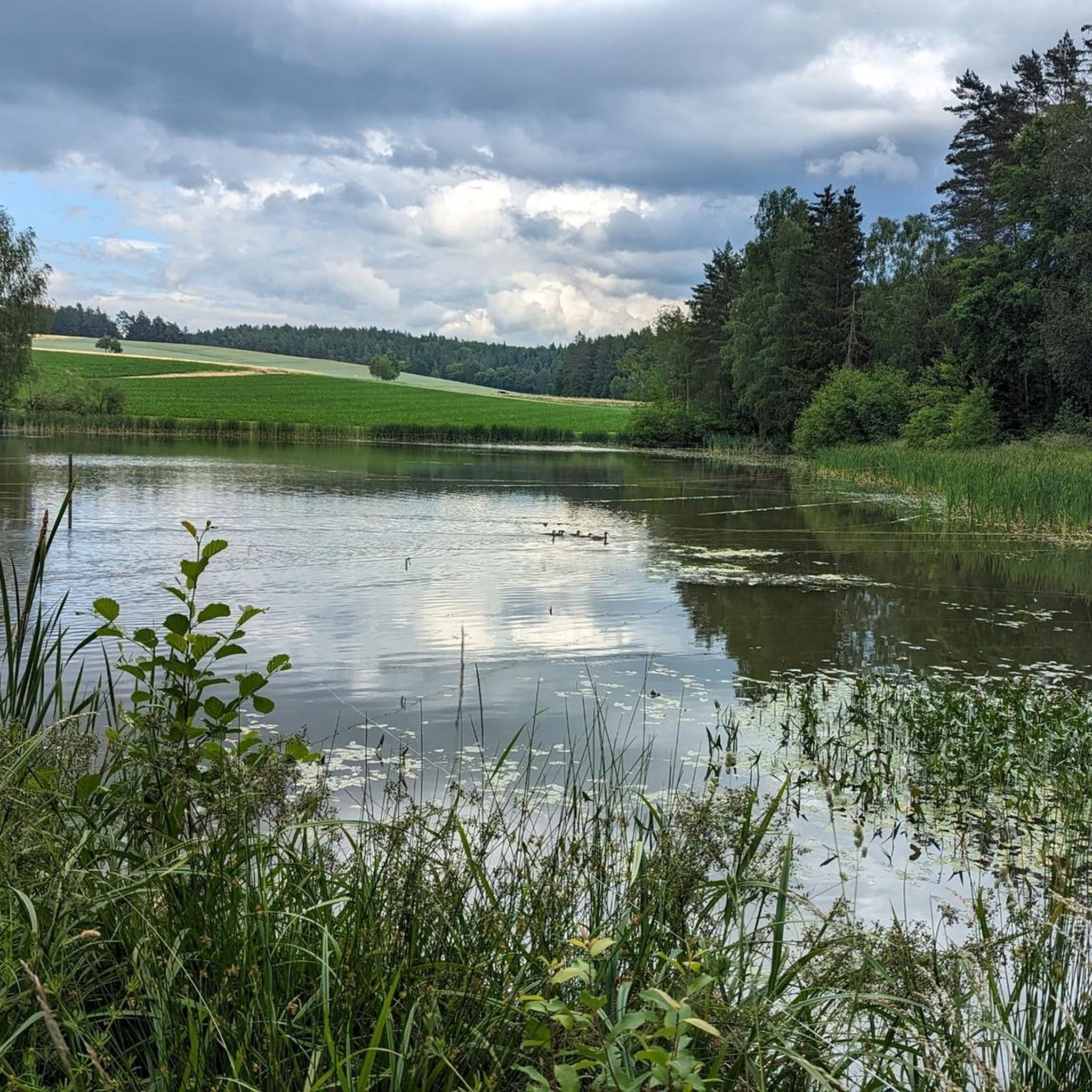
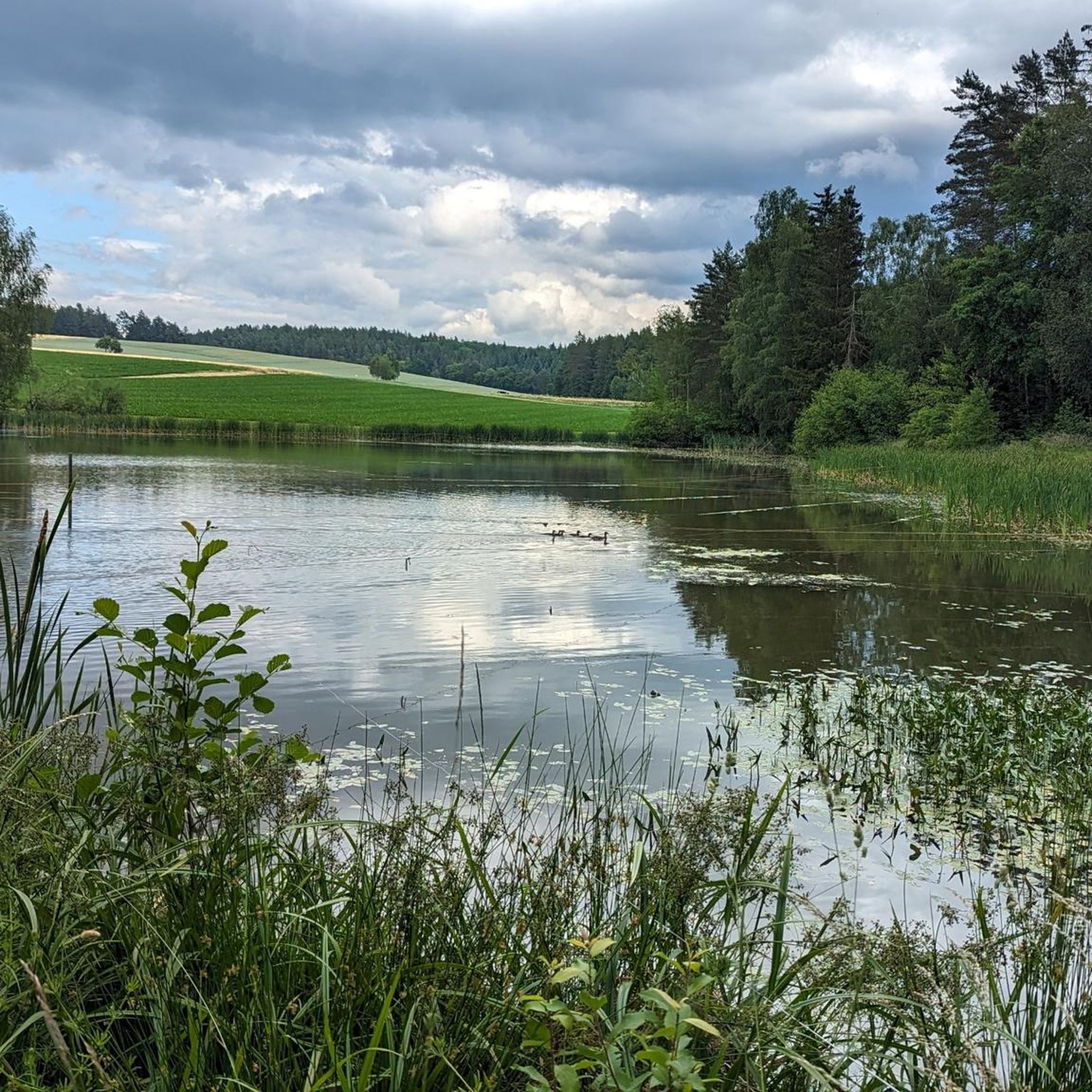
Dam that separates the large and small Rußweiher - beautiful view of both ponds
2
0

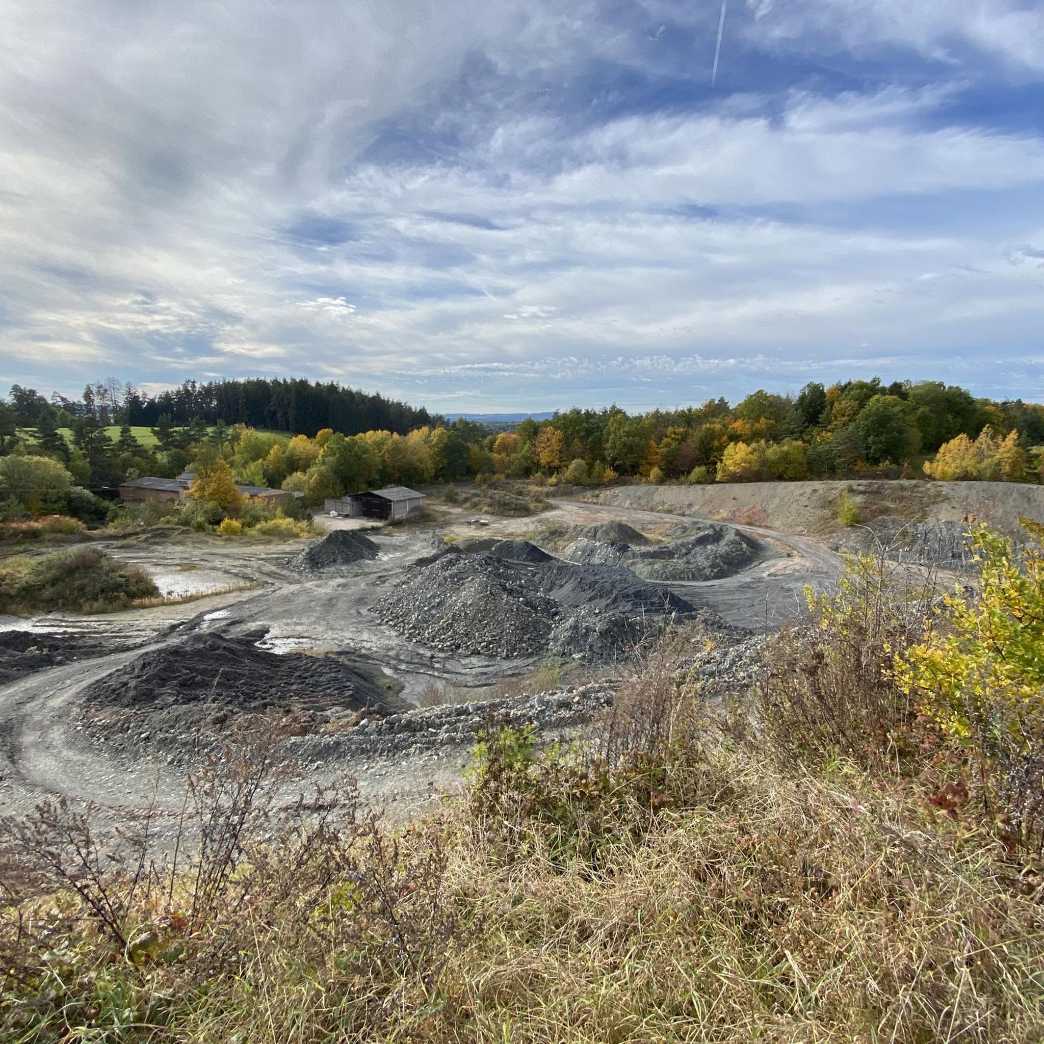
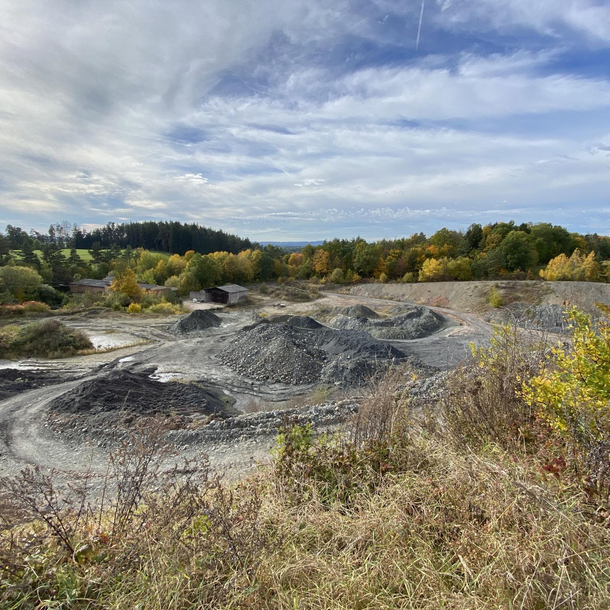
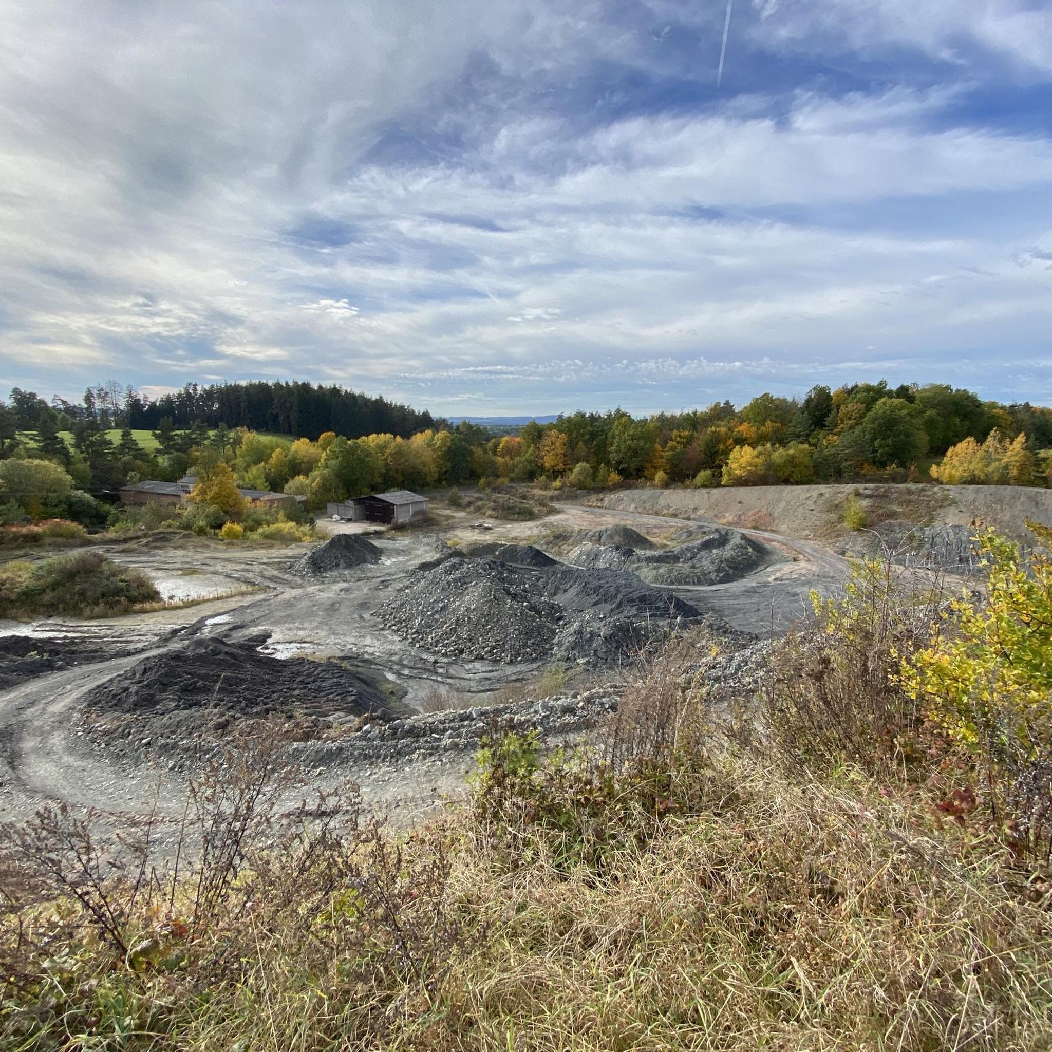
The rampart on the Rauher Kulm is a fortification at the foot of the Rauher Kulm. Gate area of the rampart Area disturbed by quarrying The Rauher Kulm, as a basalt mountain in the otherwise flat surroundings, was already visited by people in prehistoric times. The rampart made of basalt blocks runs around the foot of the mountain. Finds point to the Bronze Age, the Celts, the time of the Carolingians and the Slavic settlement chambers. Fighting took place during the time of the Hungarian invasions. Even if the rampart has been disturbed by later interventions, including the creation of an English garden across the entire mountain or the mining of the basalt in quarries, the course can be recognized from the basalt boulders. There is a lower main rampart with at least two gate areas and another fortified area at medium height. The hilltop castle is, however, classified as largely late medieval. Several burial mounds are also known. It is assumed that the settlement was located within the protective wall, so that it was not just a refuge. The predominantly stone remains were reinforced by wooden structures, among other things. There is evidence of post-and-slot walls, kennel-shaped walls and additionally secured gate areas. The cartographer Johann Christoph Stierlein made a drawing of the Rauher Kulm and recorded both the rampart and the hilltop castle.[1] The rampart was researched at the beginning of the 20th century by Adalbert Neischl on behalf of the Nuremberg Natural History Society and Hugo Obermaier, who completed Neischl's work. Hans Losert has been carrying out excavations for over ten years and is responsible for the scientific analysis.
1
0

The ring wall itself dates back to the time of the Celts and probably served as a refuge or place of worship. The remains of the ramparts are still clearly visible and make for an exciting exploration tour. The climb to the summit is a bit strenuous, but the view and the historic atmosphere definitely make the effort worthwhile.
4
0

A basalt cone about 641 meters high around five kilometers east of Kemnath made history. One of the oldest castles in the Upper Palatinate was located on its summit. Waldeck Castle was first mentioned in documents in 1124. The castle complex has been excavated and restored for several decades. The Waldeck Local History and Culture Association has contributed a large part to this. Regular services are held at the St. Ägidius open-air chapel, and theater performances are also held here every year on an open-air stage with 300 seats. Performances by the Upper Palatinate State Theater are now part of the permanent cultural program.
19
0

Around the cone, hikers will find a well-developed network of paths through varied mixed forest and old beech forest stands. The newly marked paths mostly lead along well-paved forest paths, but also along natural hiking trails. The exposed basalt slopes are a valuable habitat for numerous animals and rare plants. Around 90 different lichens and mosses grow and thrive on the heat-storing basalt boulders. The Rauhe Kulm has been protected as a natural monument since 1909 and has been a nature reserve in accordance with European standards (FFH) for several years. In 2013, the Rauhe Kulm was voted Germany's most beautiful natural wonder.
8
1
Around the cone, hikers will find a well-developed network of paths through varied mixed forest and old beech forest stands. The newly marked paths mostly lead along well-paved forest paths, but also along natural hiking trails. The exposed basalt slopes are a valuable habitat for numerous animals and rare plants. Around 90 different lichens and mosses grow and thrive on the heat-storing basalt boulders. The Rauhe Kulm has been protected as a natural monument since 1909 and has been a nature reserve in accordance with European standards (FFH) for several years. In 2013, the Rauhe Kulm was voted Germany's most beautiful natural wonder.
6
2
シュパインスハルトでのの人気観光スポット

komootモバイルアプリでインスピレーションを得よう


さらに探索
これらのガイドで、最高の洞窟を探す範囲を広げましょうシュパインスハルトでの:
