ベルヒテスガーデンの峠・トップ20
風景を楽しんだり、上りや下りを満喫したり、峠には楽しみ方がたくさんあります。ベルヒテスガーデンの素晴らしい峠の一覧を参照して、思い出に残るアドベンチャーに出かけましょう。コミュニティのメンバーがコミュニティのために投稿した峠のハイライトは、他のユーザーが実際におすすめする情報なので、どれも信頼できるものです。気に入った峠にさっそく向かってみましょう。
最終更新日: 10月 11, 2026
ロスフェルト・パノラマ通りの展望台
ハイライト • 展望台
翻訳者 Google •
役立つ情報 は

ミッタークスシャルテ
ハイライト • 山道
location
It is located between the Salzburg Hochthron (1 853 m above sea level) in the north and the Raucheck (1 891 m above sea level) in the south at an altitude of 1 671 m above sea level. A. directly on the border between Austria and Germany.
particularity
The Alpine shaman Rainer Limpöck describes in his books Myth Untersberg and High and Holy - encounters of people and spirits on Untersberg some phenomena that are scientifically so unexplained. This is how Limpöck thinks this is the ... place where "Middle-earth" begins, where the giant devil with his divine powers has shaped, where healing happens, where the sun shines into the underworld, where heaven and earth connect. ,
翻訳者 Google •
役立つ情報 は

今すぐサインアップして、こんな場所を発見しよう
最高のシングルトラック、ピーク、その他のエキサイティングなアウトドアスポットのおすすめを受け取ろう。
ロスフェルト・パノラマリング道路
ハイライト (セグメント) • 展望台
翻訳者 Google •
役立つ情報 は

トーレナー・ヨッホ
ハイライト • 山道
翻訳者 Google •
役立つ情報 は

ホッホアルムシャルテ
ハイライト • 山道
翻訳者 Google •
役立つ情報 は

無料でサインアップして、さらに多くの山道を発見しましょう ベルヒテスガーデンでの。
すでにアカウントをお持ちですか?
無料アカウントで今日から始めよう
次の冒険が待っています。
ベルヒテスガーデン周辺で人気
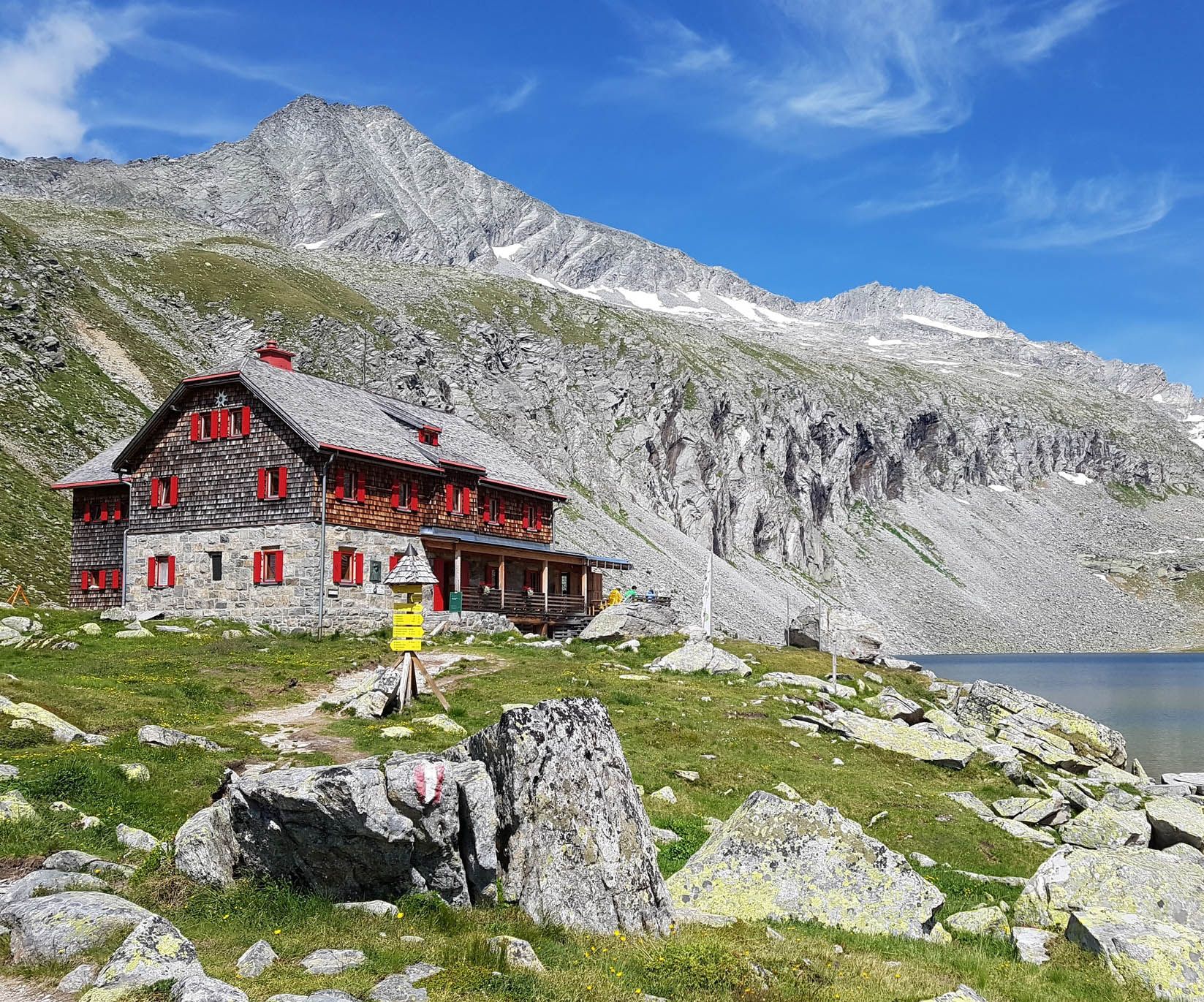
オーストリアのボヘミア森林からカルニックアルプスまでのハイキング - ルペルティトレイル
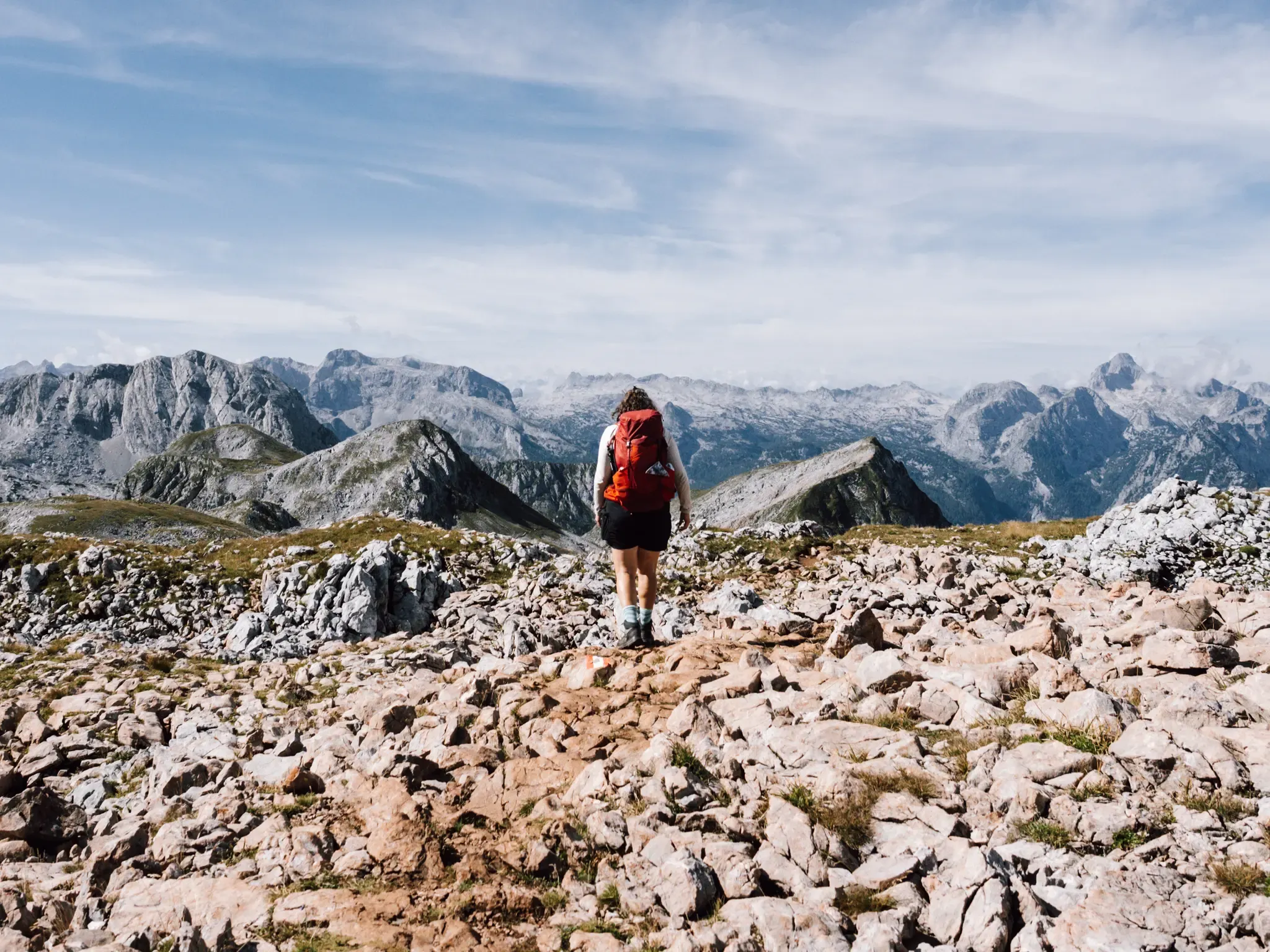
High above the Königssee – Berchtesgaden Hut Hike
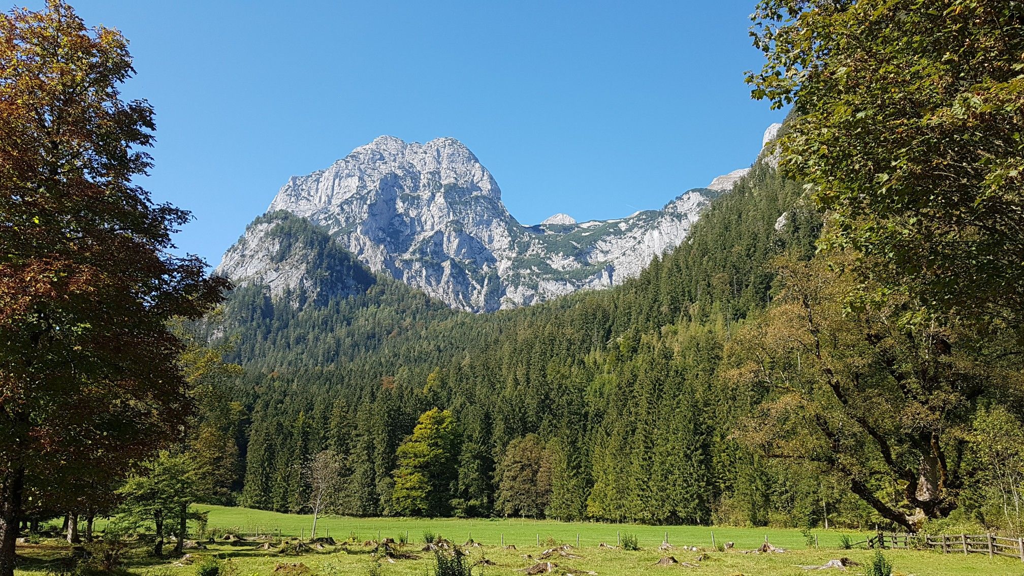
バイエルンのナショナルパーク
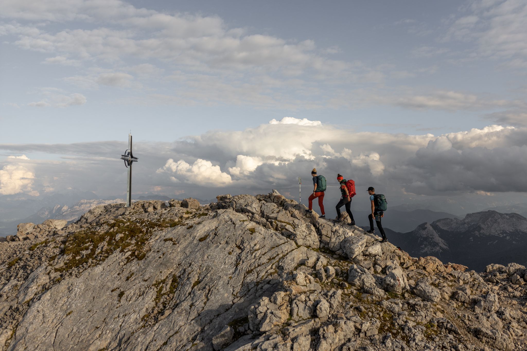
Alone, but never lonely – unforgettable hiking in Berchtesgaden
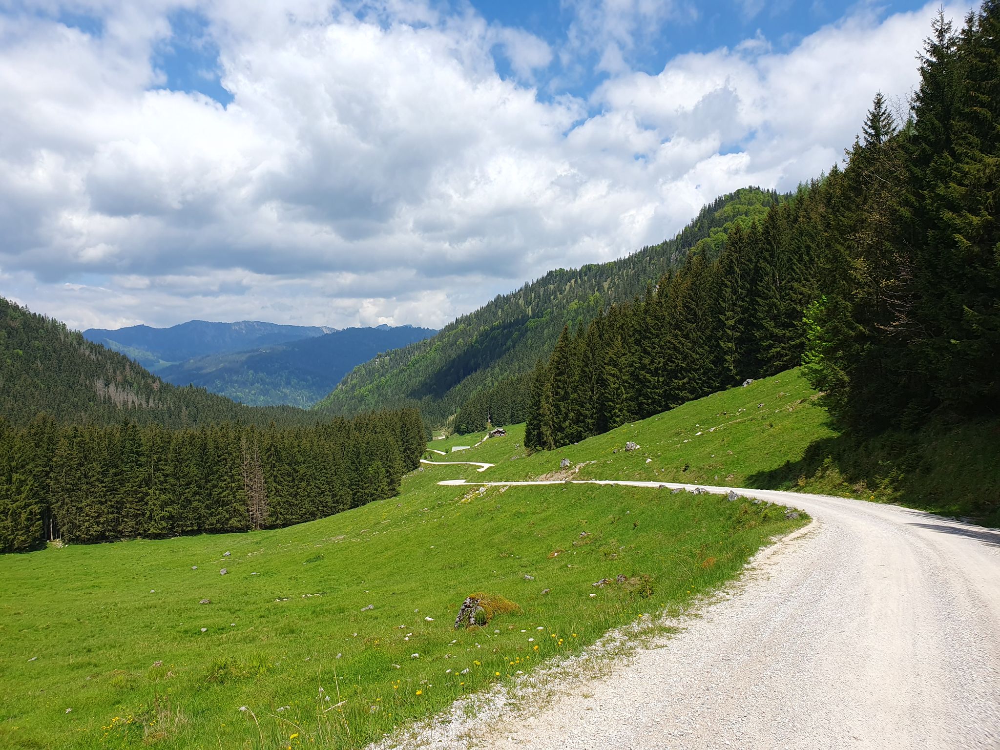
ベルヒテスガデン国立公園での素晴らしいサイクリングツアー
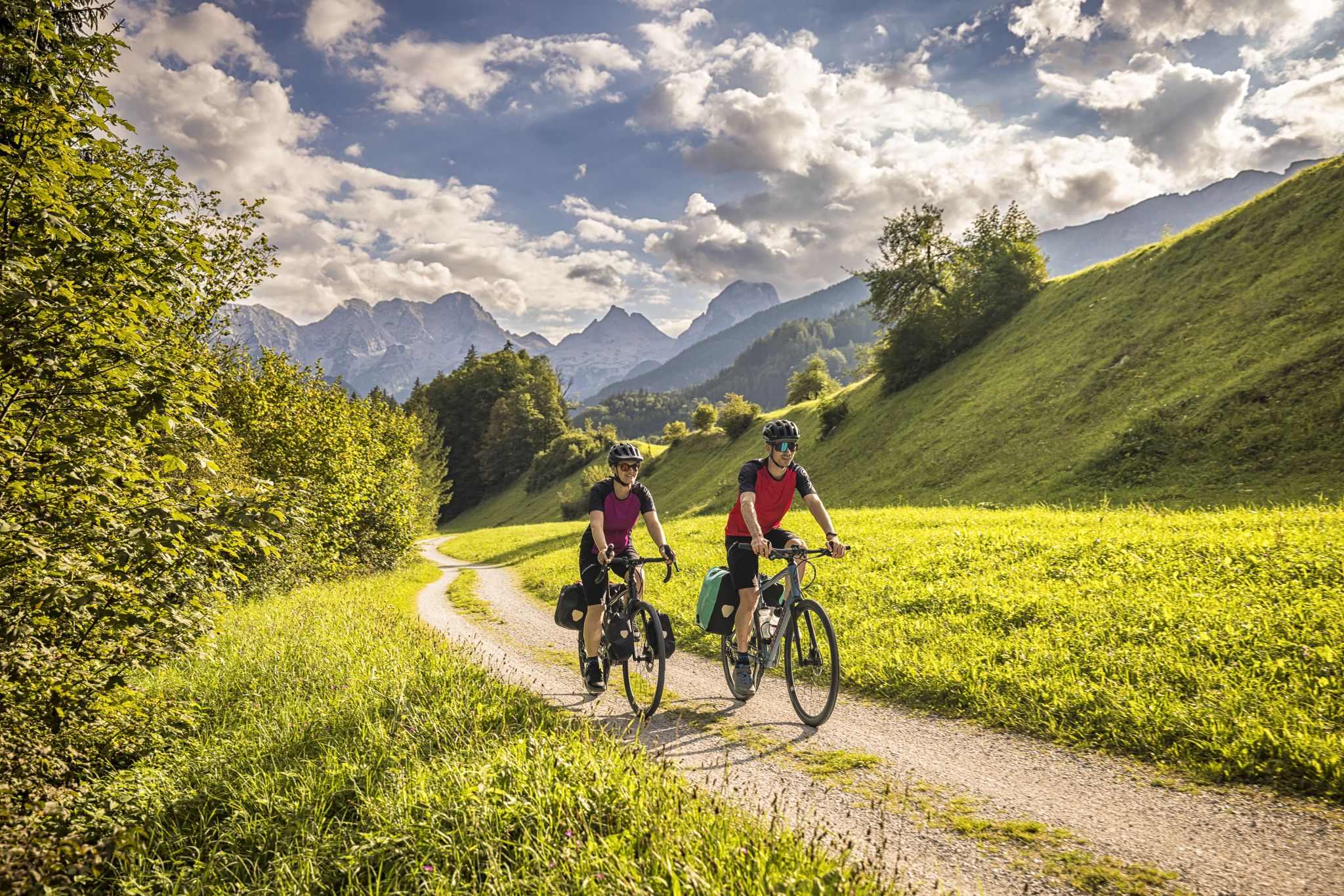
クラシックでファンタスティック – モーツァルトサイクルルート
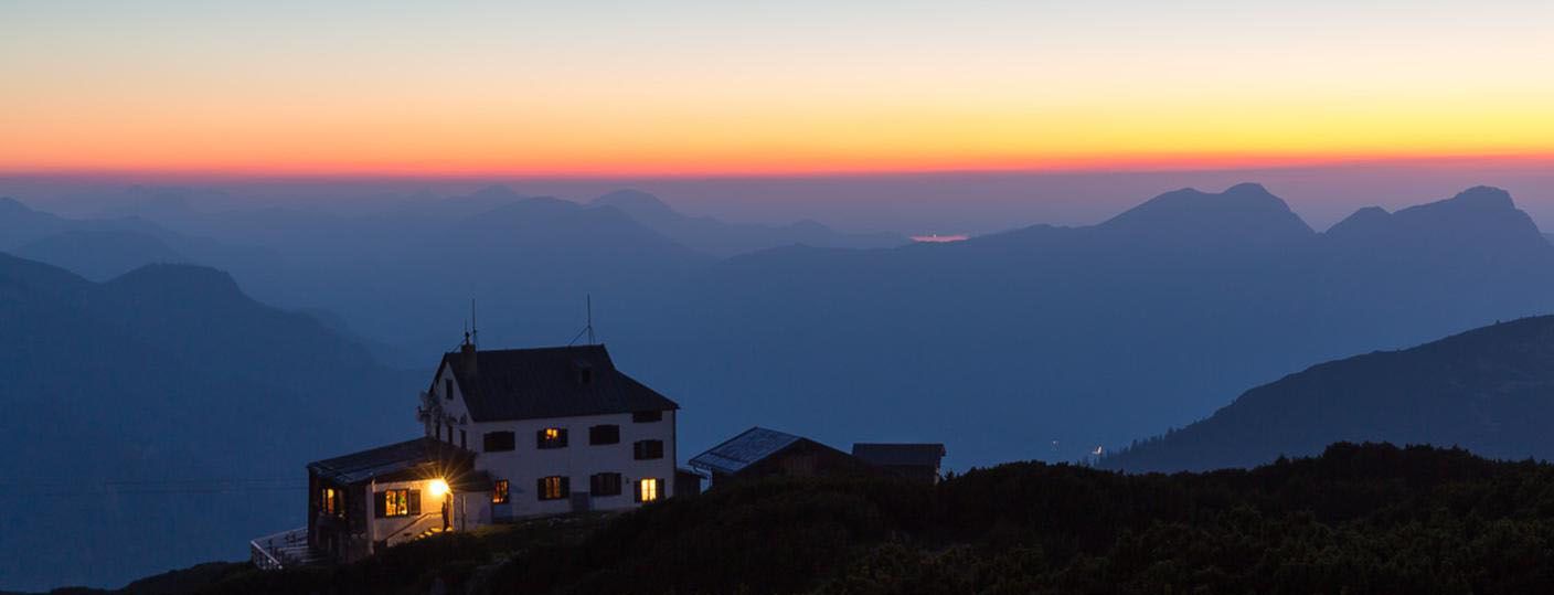
ベルヒテスガデナーランド - アンタースベルグ山を中心に
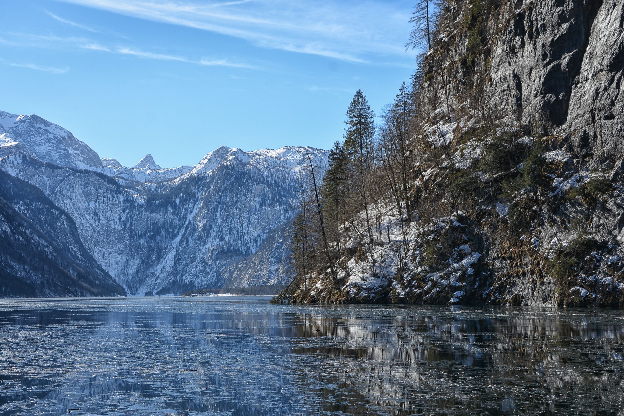
Winter in Upper Bavaria – 8 wonderful hikes
ドイツの頂上ツアー:最高の峠と山道
Going for the summer – hiking in Berchtesgaden
ベルヒテスガーデンでのの他の冒険


コミュニティからのヒント


一方のハイキングピークからもう一方のハイキングピークへ行くには、途中でMittagsscharteに降りなければなりません。これも、最初に思うよりも越えるのに時間がかかる理由の一つです... ;-)
1
0


From up here you have a fantastic view down the valley in both directions. The Carl-von-Stahl-Haus, located here, is also highly recommended. Excellent service, friendly staff, and very good accommodation.
3
0

Somewhat steep climb to the summit cross
4
0

A tough climb at the beginning. Then it becomes a bit more pleasant but still challenging. Great views and a magnificent panorama at the top of the pass quickly make the exertion forgotten. And finally, a thrilling descent awaits.
2
0


komootモバイルアプリでインスピレーションを得よう


さらに探索
これらのガイドでさらに壮大な山道を見てみましょうベルヒテスガーデンでの:
