ティットモニングの天然記念物・トップ20
ティットモニングが誇る美しい風景を見てみたいなら、ティットモニングの素晴らしい天然記念物・トップ20
に行ってみましょう。あなたにぴったりの場所が見つかるよう、素晴らしい天然記念物を探索するために必要なすべての情報を集めました。次のアウトドアの冒険に出かける計画の参考にしましょう。
最終更新日: 8月 31, 2026
ザルツァッハ川のクロイツフェルゼン
ハイライト • 自然記念物
翻訳者 Google •
役立つ情報 は

ヴェールゼー
ハイライト • 湖
翻訳者 Google •
役立つ情報 は

今すぐサインアップして、こんな場所を発見しよう
最高のシングルトラック、ピーク、その他のエキサイティングなアウトドアスポットのおすすめを受け取ろう。
無料新規登録
ブルクハウゼンのザルツァッハ川
ハイライト • 川
翻訳者 Google •
役立つ情報 は
オーバーシュロッフェンの地質オルガン
ハイライト • 自然記念物
翻訳者 Google •
役立つ情報 は


無料アカウントで今日から始めよう
次の冒険が待っています。
ログインまたは登録
ティットモニング周辺で人気
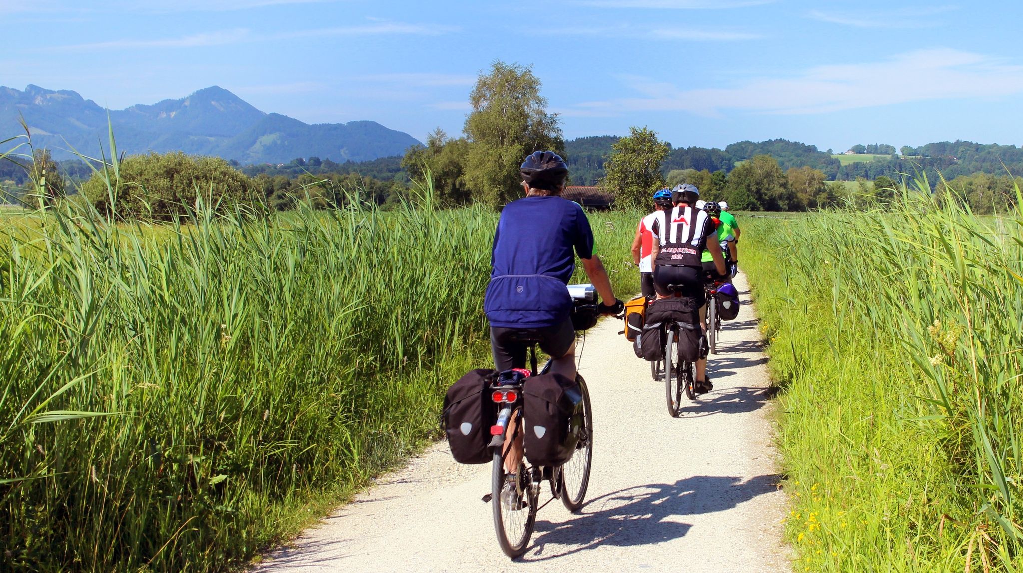
Explore the German Alps – day rides in Chiemgau & Berchtesgadener Land
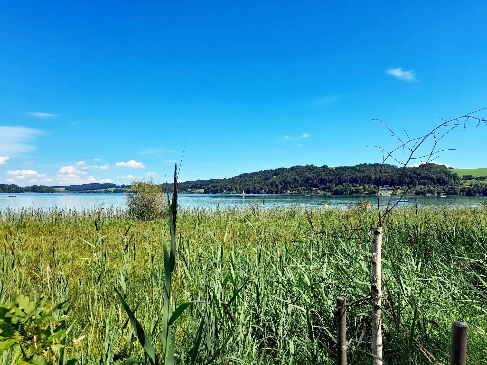
バユワレントレイルを通じて上バイエルンとザルツブルグ湖地域をサイクリング
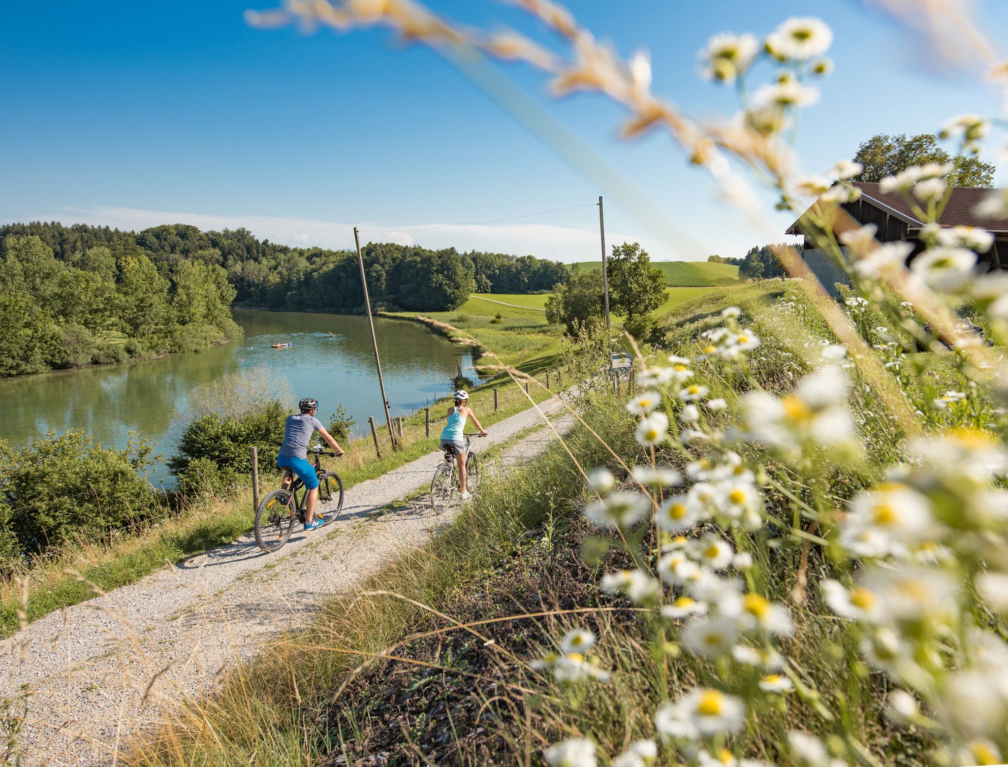
Cycling in the foothills of the Alps – gentle rides through Chiemgau
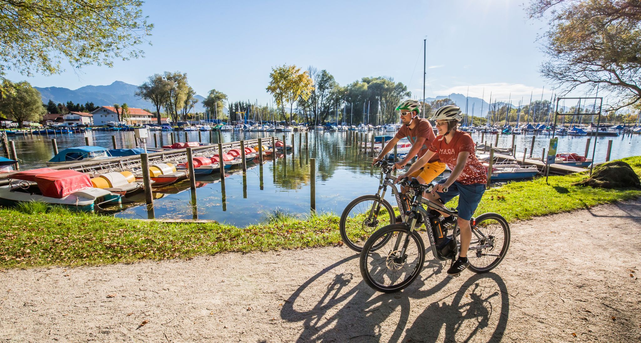
Your active cycling vacation in Chiemgau
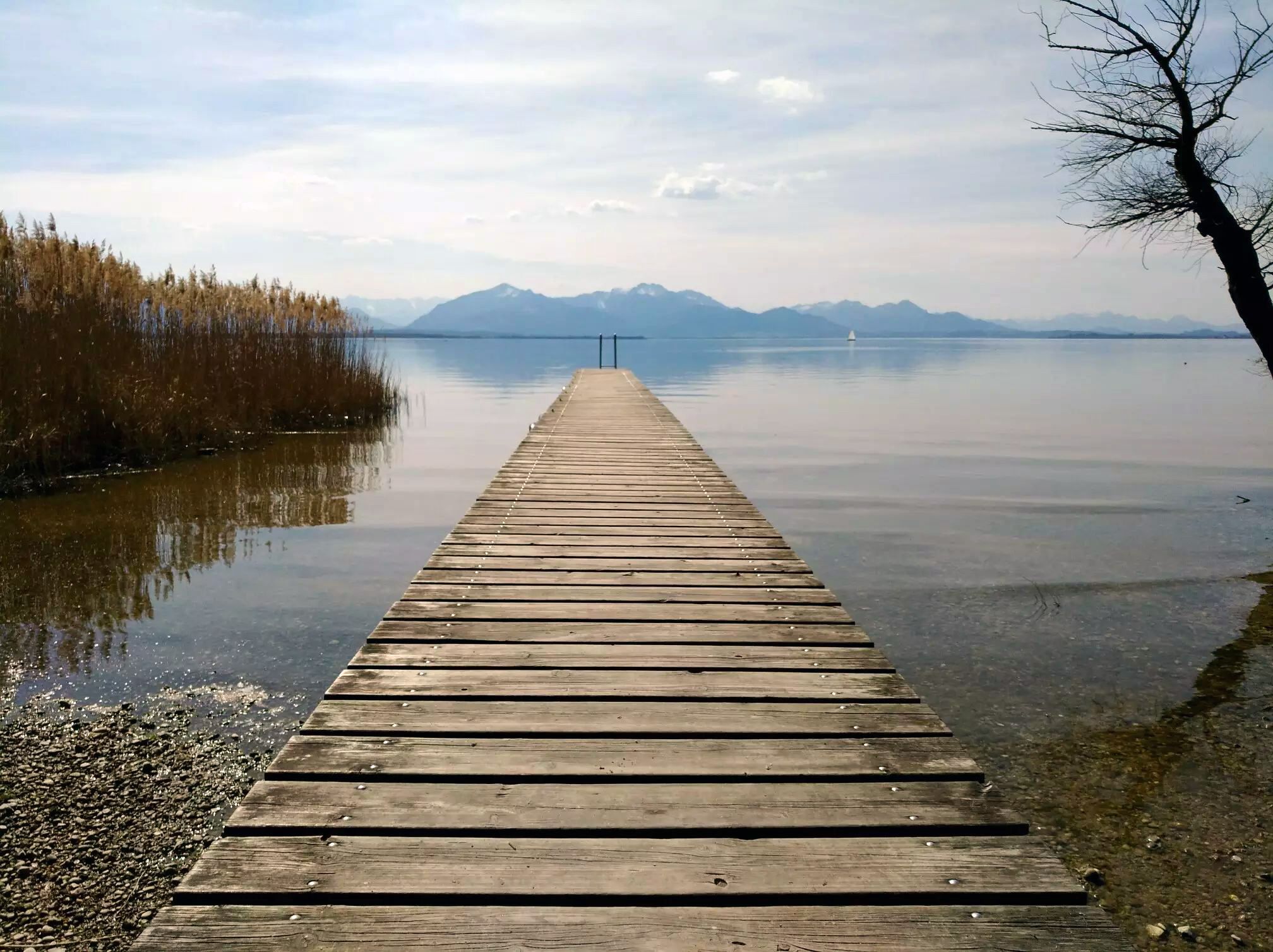
シエムズエーチェムガウ自転車地域の冒険的なライド
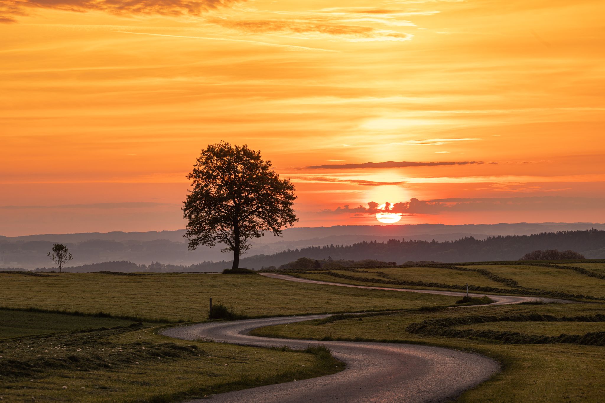
Unterwegs in der Wanderregion Waginger See
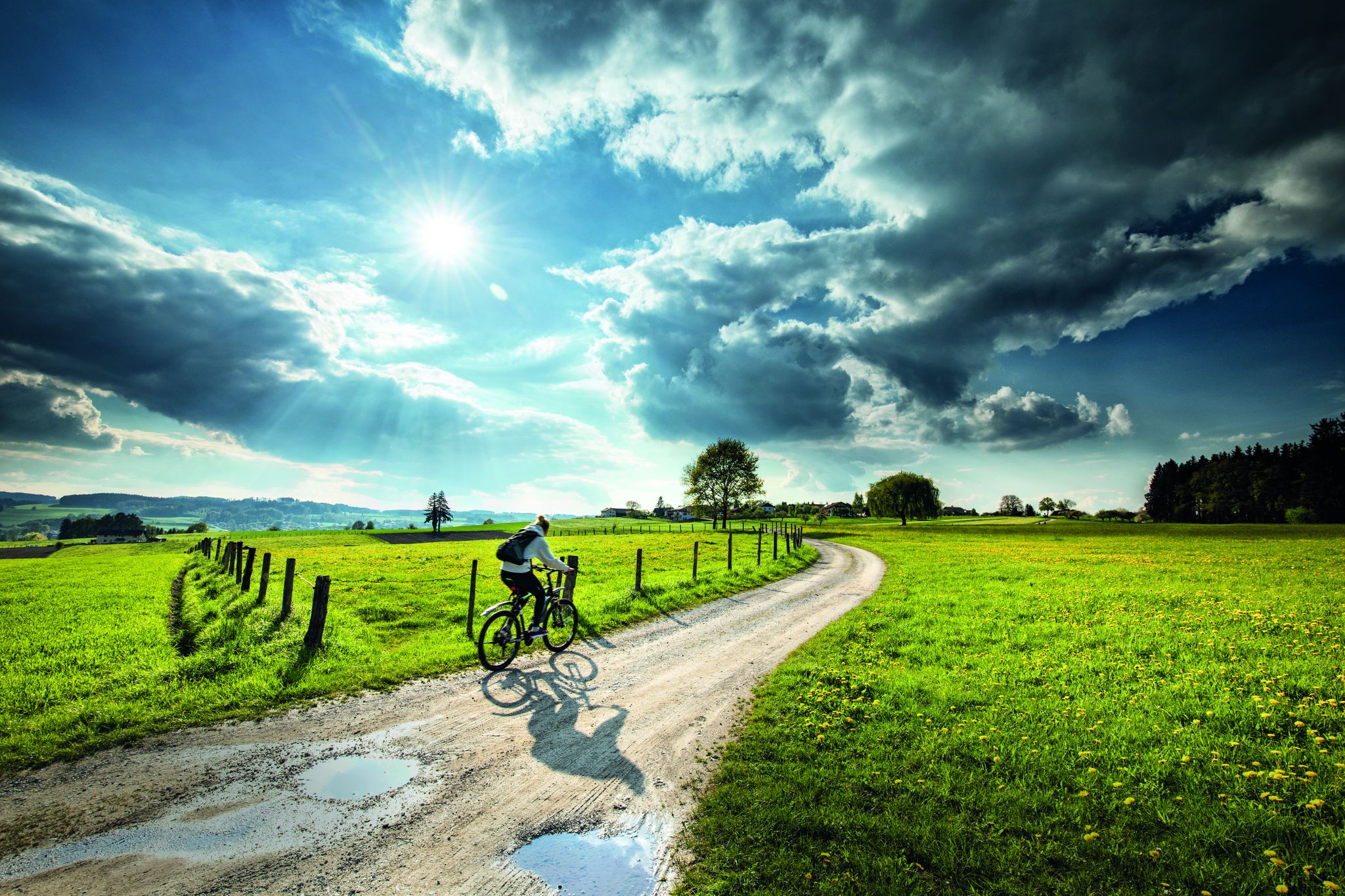
Radtouren und Themenwege am Waginger See
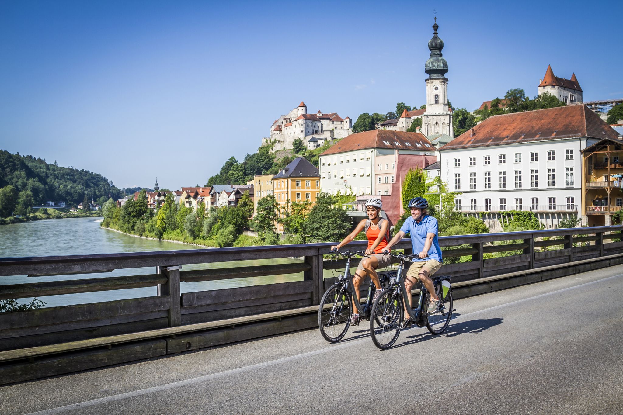
RadReiseRegion Inn-Salzach – unsere 24 Thementouren
Noch mehr RadReiseRegion Inn-Salzach erfahren
ティットモニングでのサイクリング
ティットモニングでのの他の冒険


コミュニティからのヒント

この地質学的なハイライトは非常に興味深いです。
7
0

Bräugartl, which was only completed in 2012, entices children with its paradisiacal little park, offering unusual rest and seating areas for a rest and play.
12
0

A beautiful walking path along the Salzach River; partly unpaved and untouched. Beyond the Kreuzfelsen rock, the trail was blocked because trees had fallen.
1
0

The geo-coordinates of the main image point to the shore of the Wöhrsee. Komoot said that this highlight on the tour was the Burghausen Christmas market https://www.komoot.com/de-de/tour/1983322047, but that is not true. However, you can see the Wuhrsee from above on the tour and sometimes it is simply beautiful.
0
0

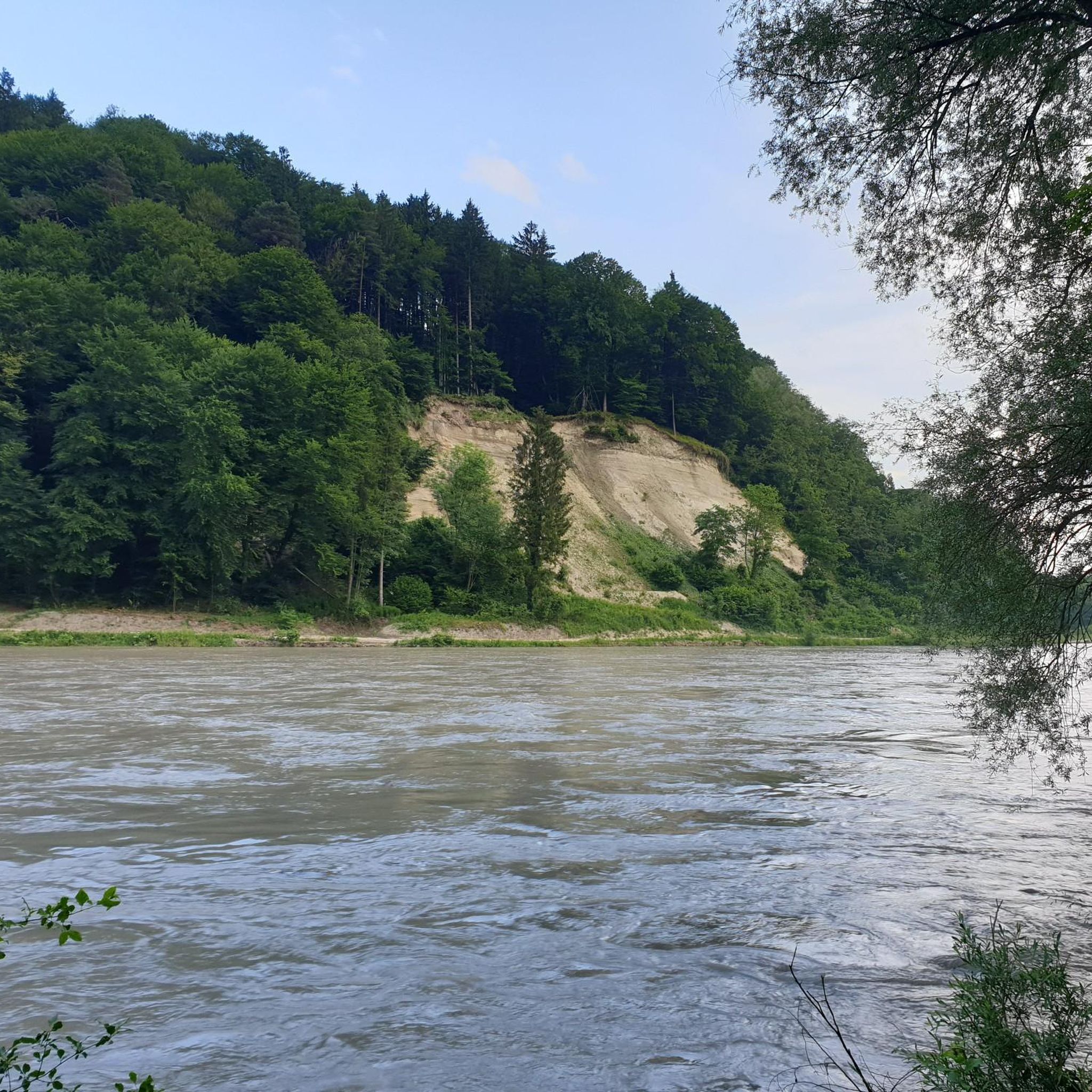
Nagelfluh can only form near the surface in this area, as this is where the pebbles from the glaciers were deposited. Nagelfluh rocks that are "below", e.g. the Kreuzfelsen, have broken down from the Nagelfluh cover, which is around 50 - 80 m higher there, because the Salzach has "undermined" it.
2
0
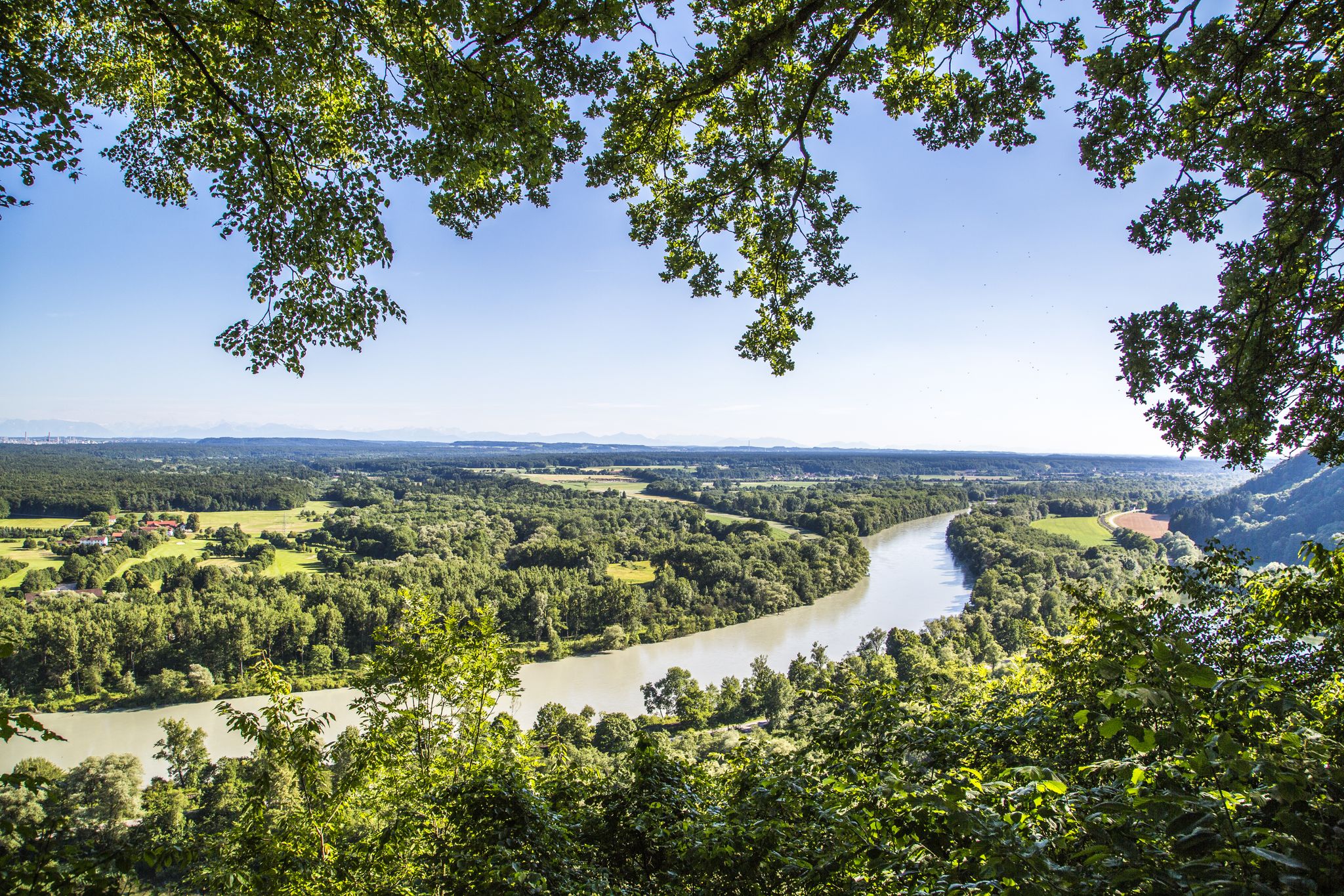
When the water of the Salzach flows past Burghausen, it has already traveled a good 200 kilometers: from the source in Pinzgau high above the Gerlos Pass and the Krimml Waterfalls, past famous mountains such as the Großvenediger, Großglockner and Hochkönig, its journey takes you to Salzburg, from where the Salzach is the border river between Germany and Austria. The Salzach was of great importance in Burghausen not only as a political border, but also as a waterway for the salt trade from Hallein. It was only here that the white gold was allowed to be loaded onto wagons and transported overland to Bavaria. For over three centuries, until the nationalization of salt production and trade in 1595, salt helped Burghausen and the salt makers there to become rich and prosperous. With trips on the reconstructed salt barges, you can get a feel for times long past and experience and enjoy the originality of the charming landscape formed by the Salzach over centuries. The Salzach floodplains not only offer idyllic views, but also a habitat for some protected animal species. One of these is the highly endangered Aesculapian snake, which only occurs in four populations in southeast Bavaria - including in Burghausen, where with a bit of luck you can watch one of the snakes, which can grow up to 1.80 m long, sunbathing on a walk along the Salzach. But other, sometimes rare and endangered animals also roam the Salzach and the surrounding forests: for example, the tracks of the beaver can be found again and again on the trees along the banks of the Salzach. A particularly colorful inhabitant of the Salzach habitat is the "Spanish flag", a black, yellow and orange butterfly that particularly likes to stay at the Salzach gorge in the so-called "Burghauser Enge". Source: https://www.visit-burghausen.com/freizeit-erlebnis/natur/die-salzach
2
0
The Burghausen Bräugartl is one of the most idyllic corners of the city. Located in the old town directly on the high bank of the Salzach, the enchanted little park with its fruit trees and the slowly babbling Moosbach offers its visitors the peace and relaxation they desire. Bräugartl guests can sit down on unusual seating. There are play equipment and a tree house for the younger visitors to the Bräugartl. A wrought iron gate connects the Bräugartl to the grounds of the Burghausen youth hostel. Anyone who wants to can reach the Burghausen river bank and the In den Grüben promenade in no time at all. Source: https://www.burghausen.de/umwelt/parks-und-gruenflaechen/braeugartl/
1
0

ティットモニングでのの人気観光スポット

komootモバイルアプリでインスピレーションを得よう


さらに探索
これらのガイドで、最高の洞窟を探す範囲を広げましょうティットモニングでの:
