クルンメンダイヒの天然記念物・トップ5
クルンメンダイヒが誇る美しい風景を見てみたいなら、クルンメンダイヒの素晴らしい天然記念物・トップ5
に行ってみましょう。あなたにぴったりの場所が見つかるよう、素晴らしい天然記念物を探索するために必要なすべての情報を集めました。次のアウトドアの冒険に出かける計画の参考にしましょう。
最終更新日: 9月 14, 2026
ザンクト・マーガレーテン外堤自然保護区
ハイライト • 自然記念物
翻訳者 Google •
役立つ情報 は

エルベ川とブロックドルフ原子力発電所の眺め
ハイライト • 展望台
翻訳者 Google •
役立つ情報 は

今すぐサインアップして、こんな場所を発見しよう
最高のシングルトラック、ピーク、その他のエキサイティングなアウトドアスポットのおすすめを受け取ろう。
Braake川
ハイライト • 川
翻訳者 Google •
役立つ情報 は

Allwördener堤防
ハイライト • 構造物
翻訳者 Google •
役立つ情報 は


無料アカウントで今日から始めよう
次の冒険が待っています。
コミュニティからのヒント

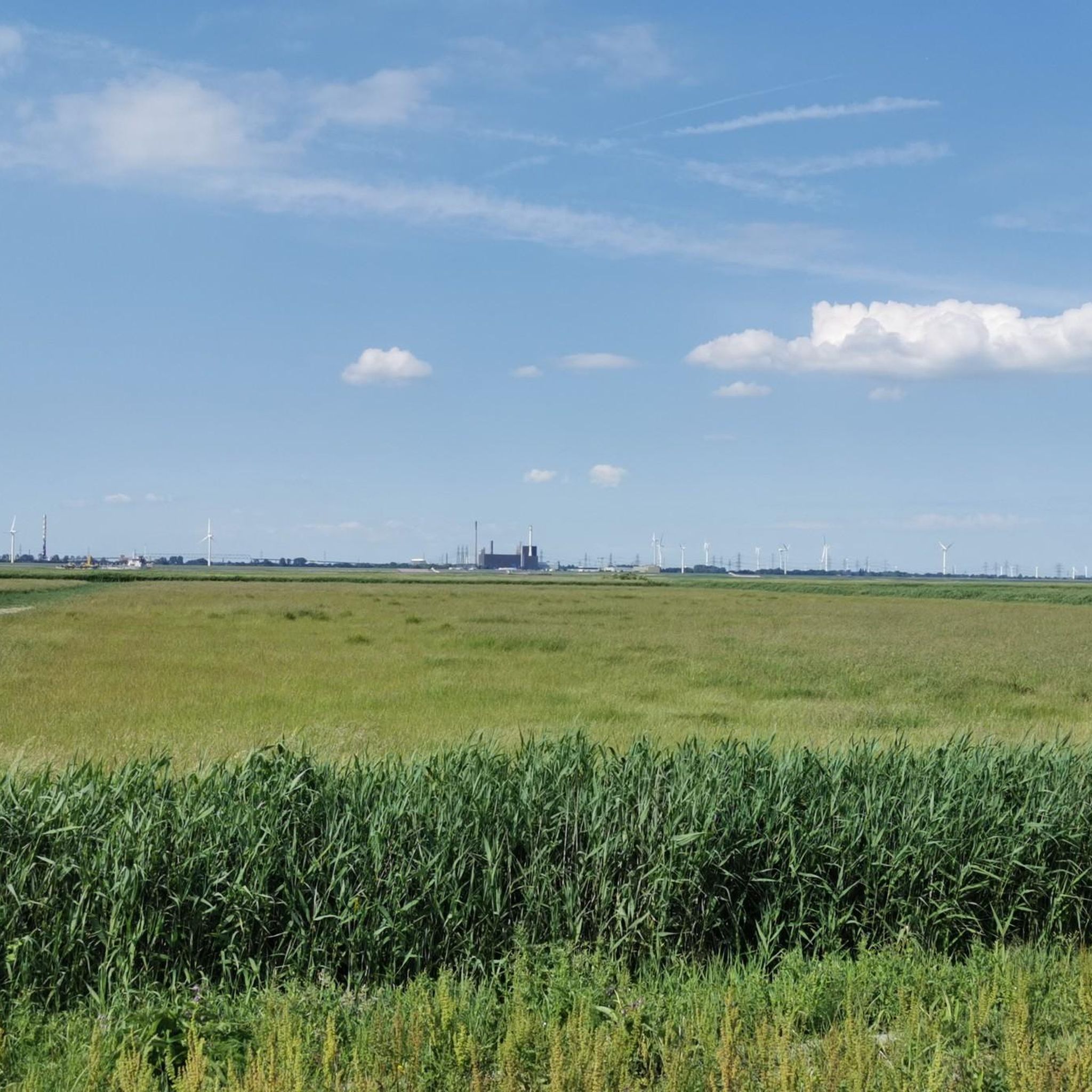
You get a fantastic view of the Elbe River and the nuclear power plant here; a visit is highly recommended and interesting, as is a lovely hike. A great cycling route also runs along here, amidst beautiful nature 💚.
4
0

Great view! Worth it!
2
0

The outer dike of St. Margarethen is located near the Elbe and is now an important bird sanctuary. Originally, this area was part of a dike system that protected the hinterland from flooding. Over time, the harbor creek became increasingly silted up and port operations were discontinued. Today, the outer dike provides an important habitat for numerous bird species and is a popular destination for nature observation and cycling tours. The outer dike and the surrounding area are ideal for hikes and bike rides along the Elbe, with wonderful views of the passing ships. Historically, the area was also the site of a pilot station, but this was not rebuilt after a fire in 1902.
2
0

View over the Elbe to Brokdorf
1
1

beautiful impressions of the passing ships on the Elbe, the confluence of the North Sea Canal and Brockdorf, as well as the wonderful, untouched nature
1
1


The emergence of the Braake is still quite young and, above all, powerful. When one of the worst catastrophes swept across the North Sea in the form of the “Christmas Flood 1717” on Boxing Day in 1717, it destroyed the dykes in many places. This is also the case in many places along the Elbe. The water masses of the Christmas flood brought death and ruin, they destroyed large regions and they created new landscapes.
2
0

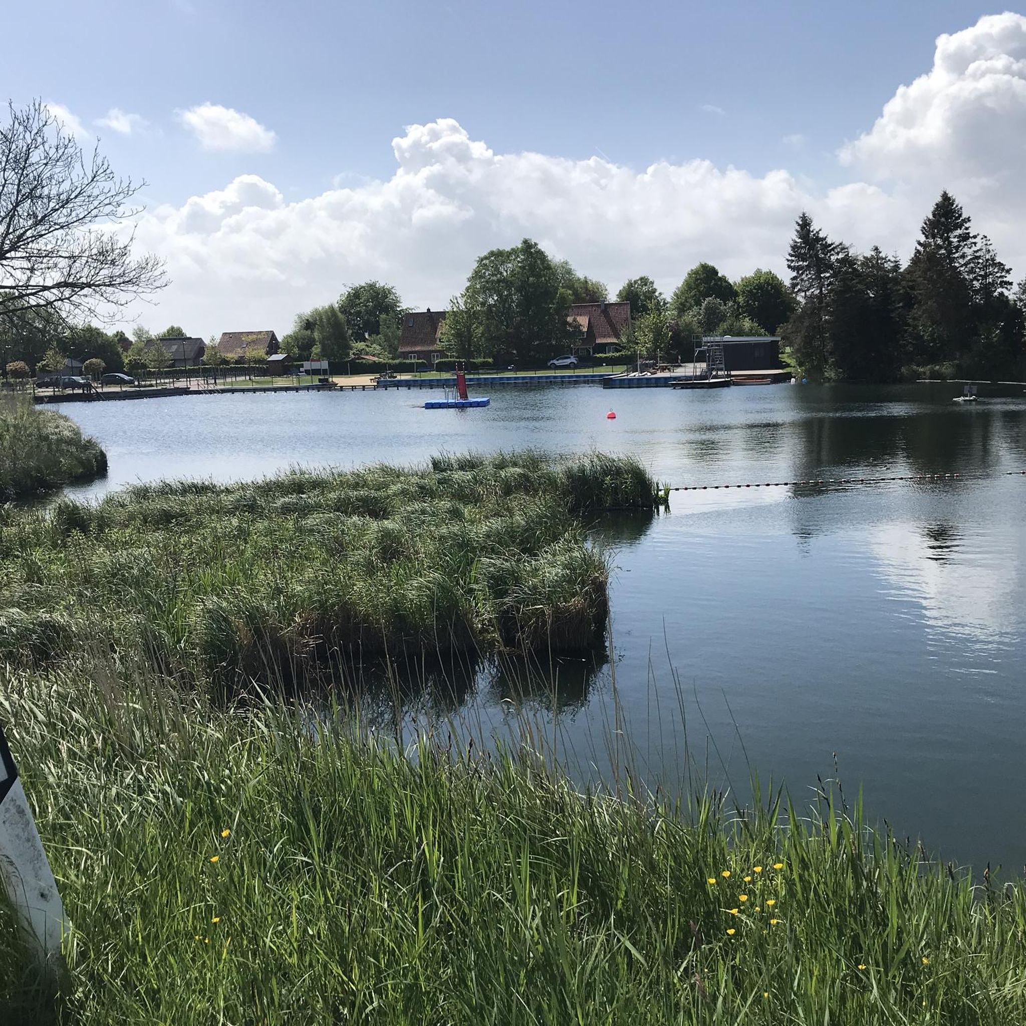
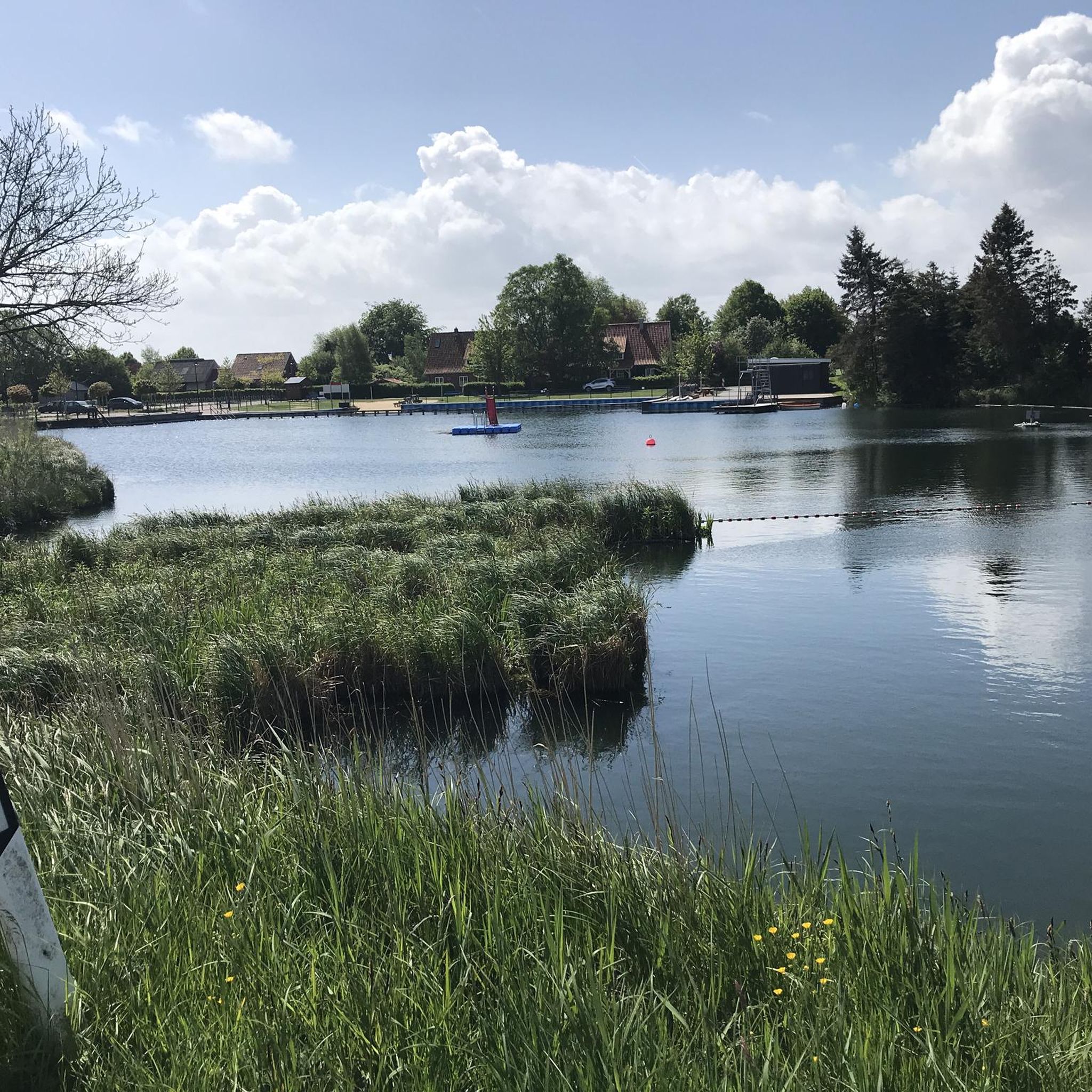
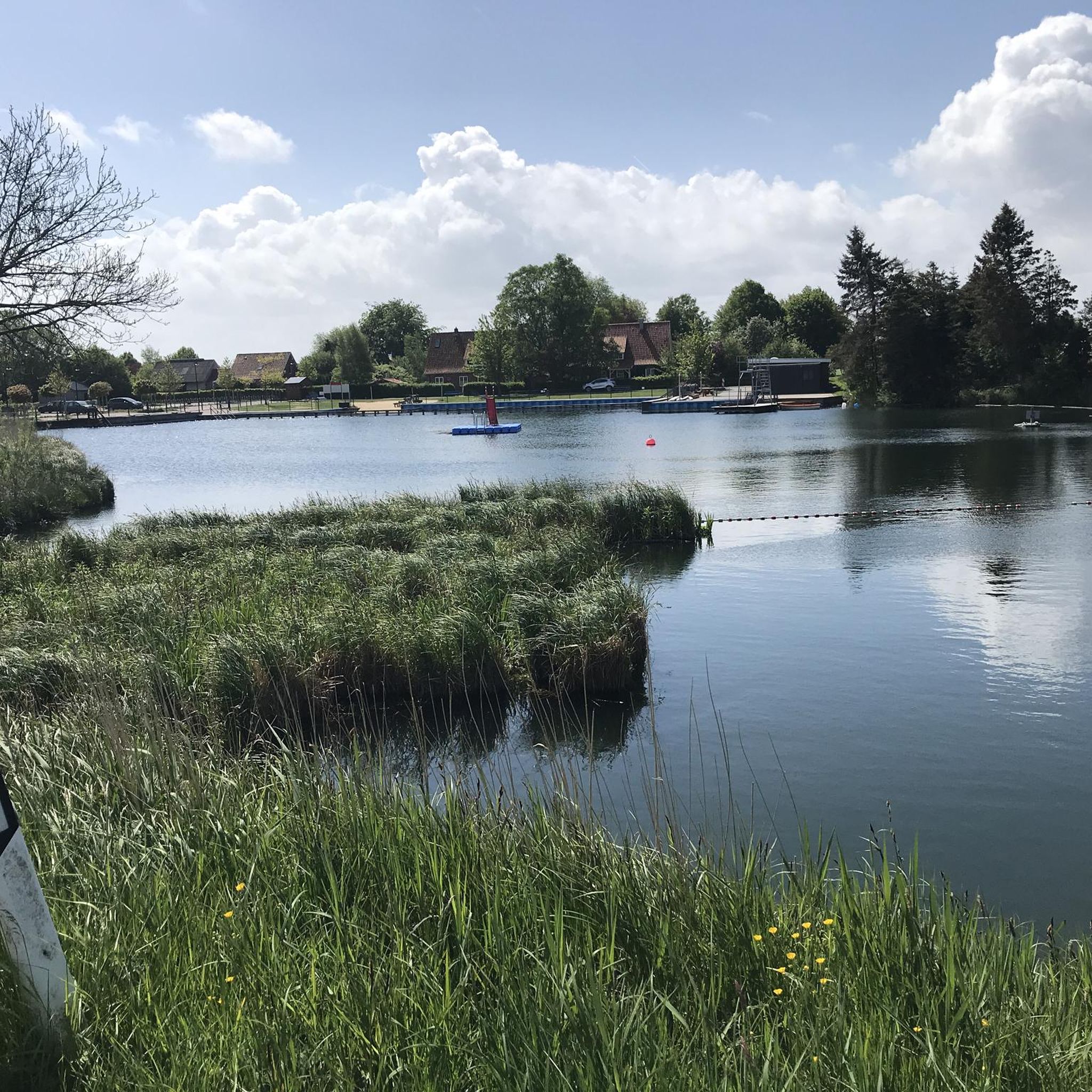
Lake Brake is one of the lakes in Schleswig-Holstein and is located near Germany's deepest point of land near Kudensee on the Kiel Canal. The Brake is a flat lake in the marshland in the Wilstermarsch. This lake was created in 1721 during the New Years Flood, a severe storm surge. It had unbridled access over a wide area, but only four years earlier the heavy Christmas flood of 1717 had destroyed the dikes in many places and claimed thousands of deaths. As a result, the impoverished and, since starving, people were not able to do more than just makeshift repairs by hand. In addition, this flood was about 30 centimeters higher than the previous Christmas flood. Even if the storm wasn't as strong as that of 1717, it lasted a lot longer. It will have gone into land for some time before the water from the surroundings, which is below sea level, ran off again. We are talking about weeks and months here. This further tragedy was the origin of the Brake, the small shallow lake that remained when the water withdrew. Today the Brake belongs to a unique and diverse biotope with a footpath, information board and a small viewing platform. From here you can look over the tall bank plants to the Kiel Canal. Source: https://weites.land/brake-seen-in-schleswig-holstein/
1
1
クルンメンダイヒでのの人気観光スポット

komootモバイルアプリでインスピレーションを得よう


さらに探索
これらのガイドで、最高の洞窟を探す範囲を広げましょうクルンメンダイヒでの:
